Plizio Visual Lab
Sololá
ℹ️Practical info — Sololá
▾
🌤 Weather — 5 days
📍 Nearby
Sights nearby
💡 Tips
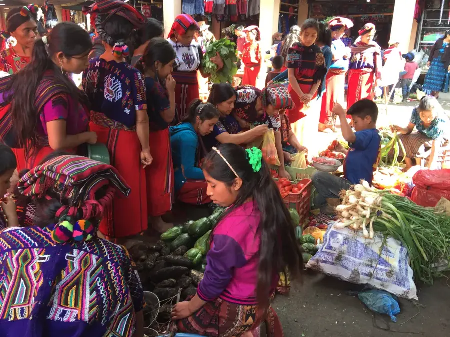
- Visit on Tuesday or Friday for the lively weekly market, when the town fills with locals in traditional dress.
- It is located high above Lake Atitlán; expect cooler temperatures and bring a light jacket.
- Taking a modified pickup truck or local bus from Panajachel is cheap but can be a bumpy ride.
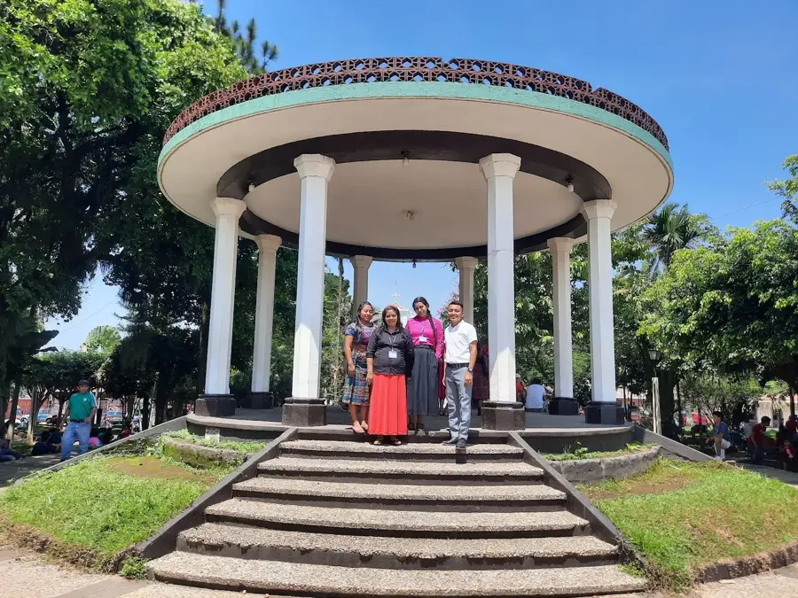
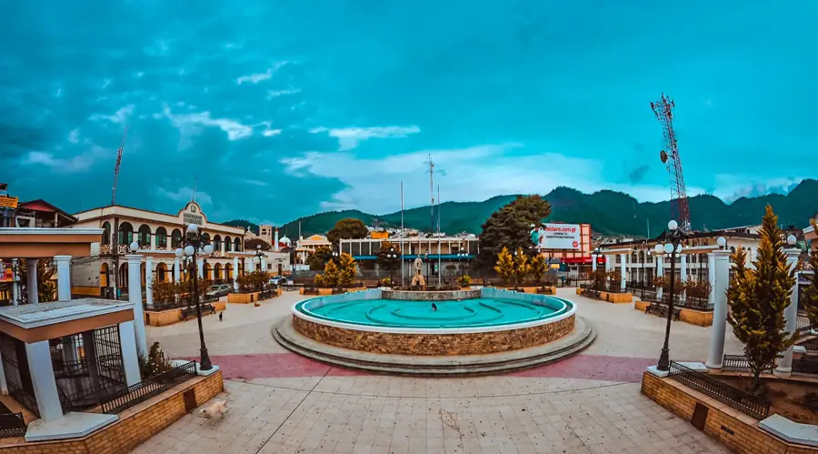
- The central plaza is a great place to people-watch, especially on Sunday mornings.
🍽 Food
Try this traditional meat stew in the small eateries (comedores) around the market.
Buy them hot directly from local women near the main square.
A warm, comforting sweet corn drink often sold by street vendors in the morning.
🛍 Shopping · 🧘 Quiet spots
Look for authentic Kaqchikel weaving and embroidered blouses at the market.
The market gives an incredible variety of local fruits and vegetables.
The winding road between Sololá and Panajachel features striking, quiet spots to view the lake.
On non-market days, it is a peaceful spot to relax under the trees.
Water temperature…
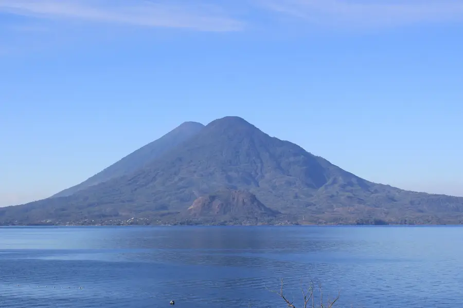
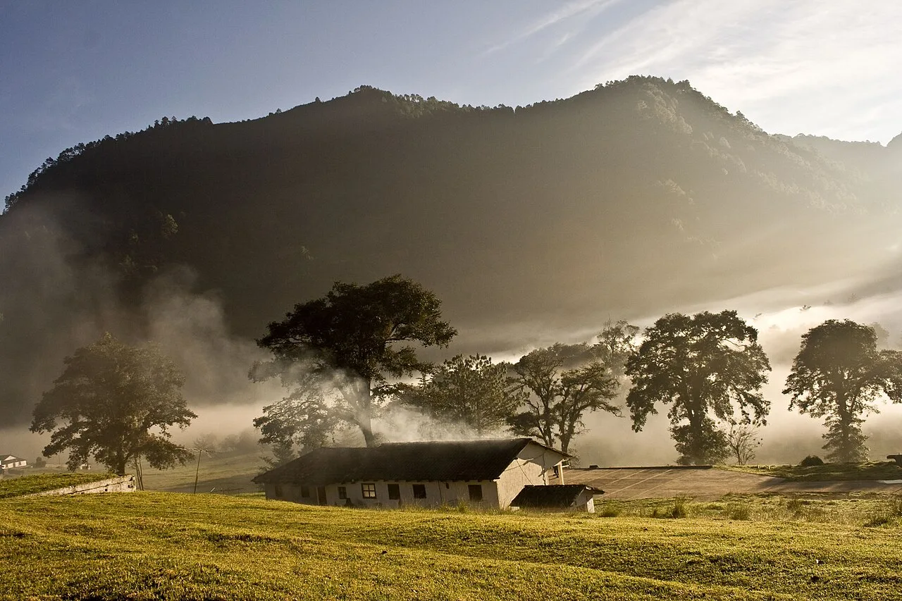
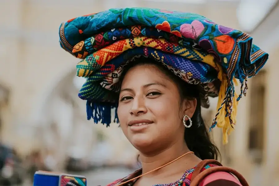
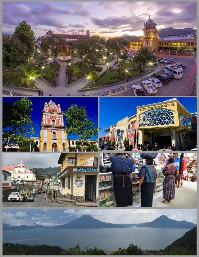
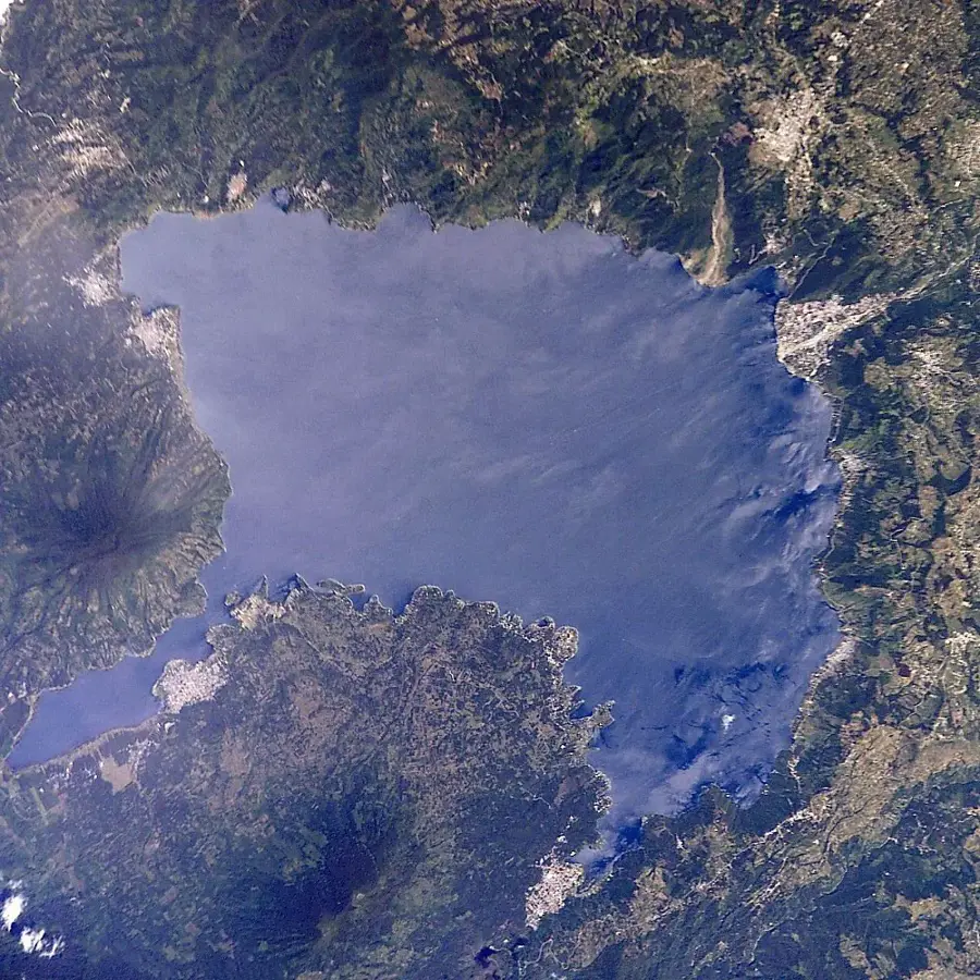
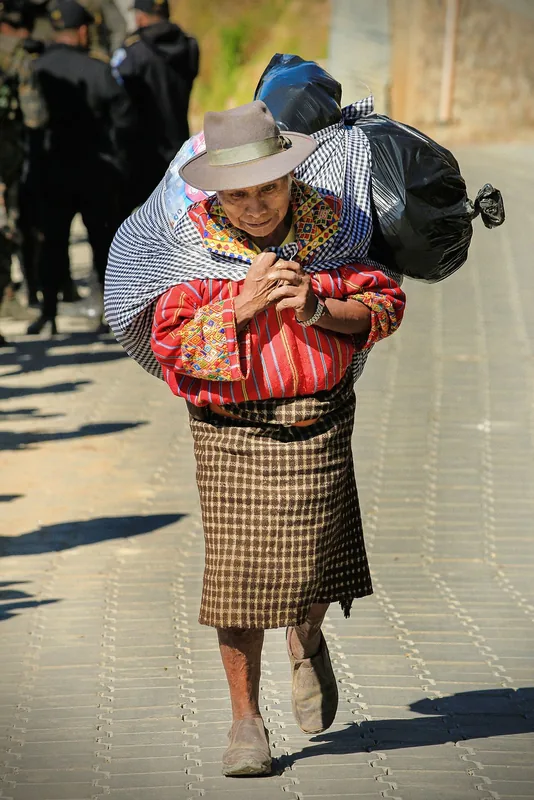
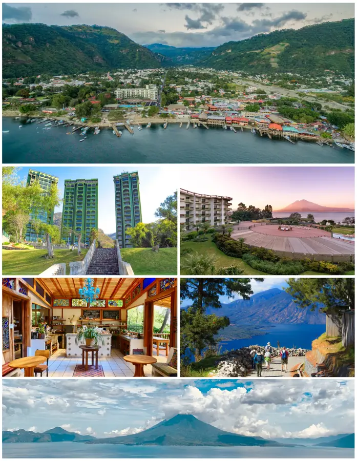
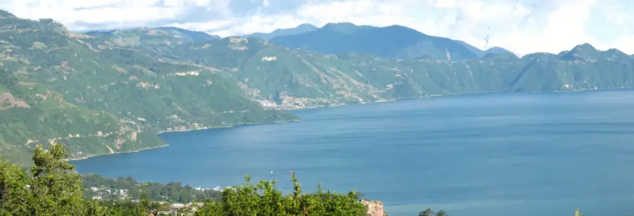
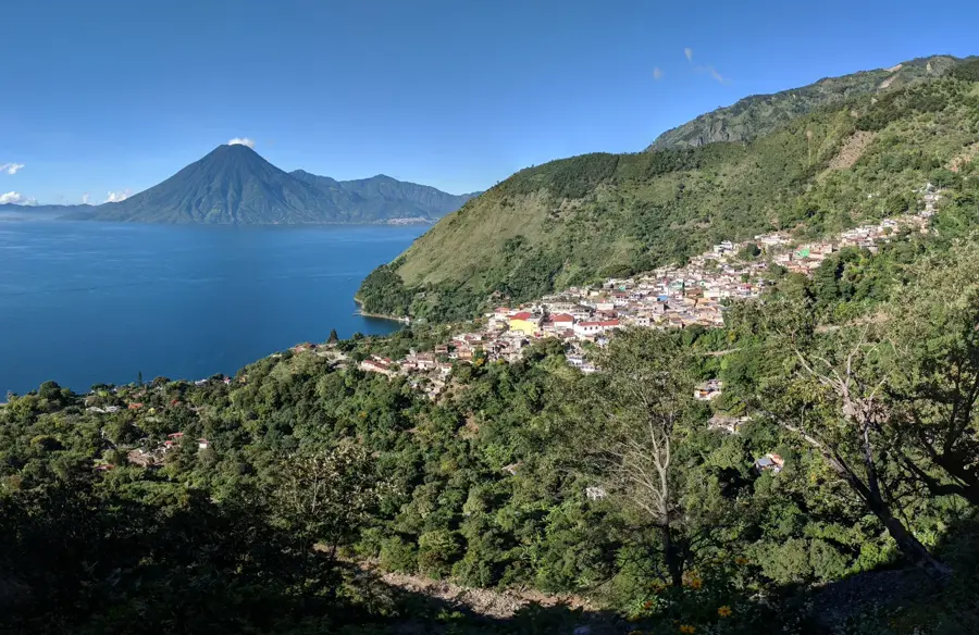
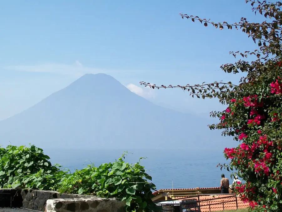
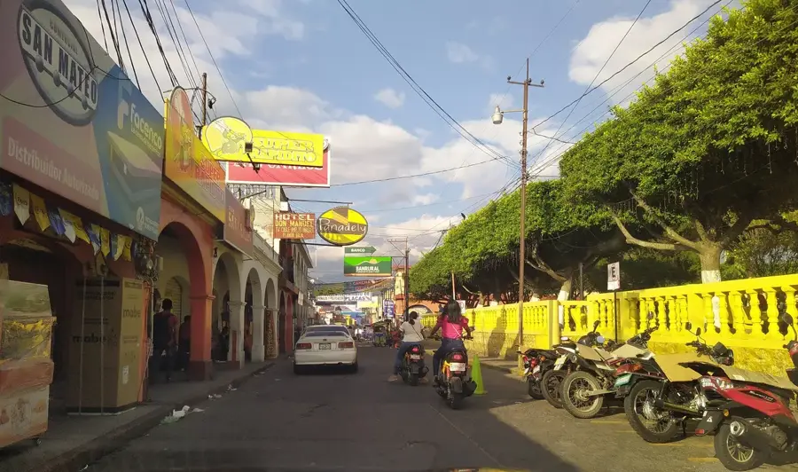
Sololá, the capital of the Sololá department in Guatemala, is a city of extraordinary geographic and cultural prominence, perched on a high ridge overlooking the world-famous Lake Atitlán. At an elevation of 2,114 meters, it sits about 400 meters directly above the lake, offering a bird's-eye view of the volcanic landscape that defines the region. Established in 1547, the city has remained a vital center for the Kaqchikel and K'iche' Maya people for centuries. Sololá is globally recognized for its deep commitment to traditional customs, most notably reflected in the local dress. It is one of the few urban centers where men frequently wear their traditional 'traje', intricately woven jackets and trousers that signify their lineage and community status. The city’s economy revolves around its massive market, held every Tuesday and Friday, which is considered one of the most authentic trade events in the Guatemalan highlands. Unlike more tourist-oriented markets, Sololá’s is a hub for regional farmers to trade onions, garlic, and textiles. The steep terrain surrounding the city is utilized for terraced agriculture, a practice that sustains the local population. A key pillar of Sololá’s social fabric is the Indigenous Mayor’s Office (Alcaldía Indígena), an ancient administrative body that governs alongside the national municipal government, ensuring that Maya law and traditions are upheld. This dual governance system highlights the city's role as a leader in indigenous rights and cultural preservation. The climate is cool and frequently misty, adding a contemplative atmosphere to the bustling streets. For visitors, Sololá features a stark contrast to the tourist-heavy lakeside villages, providing a genuine look at highland life where the ancient calendar, traditional weaving, and ancestral spiritual practices remain the foundation of daily existence.
- Location: Guatemala
- Top sights: Sololá Department · Panabaj · Tzalá River
- Nearby: Santiago Atitlán (5 km)
- Population: ~45.373 (2025)
Best time to visit & climate
The most pleasant time to visit is Feb–Apr.
| Jan | Feb | Mar | Apr | May | Jun | Jul | Aug | Sep | Oct | Nov | Dec | |
|---|---|---|---|---|---|---|---|---|---|---|---|---|
| Avg °C | 13 | 14 | 16 | 17 | 17 | 16 | 16 | 16 | 16 | 16 | 14 | 14 |
| Rain mm | 6 | 7 | 22 | 63 | 217 | 315 | 226 | 289 | 353 | 291 | 58 | 10 |
Geography
Facts
- Sololá is situated at an elevation of 2,114 meters (6,936 feet).
- The city was founded on October 30, 1547, by Spanish authorities.
- It sits on a cliff 400 meters (1,300 feet) above Lake Atitlán.
- The Indigenous Mayor's Office is a key institution for Maya self-governance.
- Major market days occur every Tuesday and Friday, attracting thousands.
- The population is primarily Kaqchikel Maya, preserving ancient weaving techniques.
- Sololá serves as the administrative capital of the Sololá department.
- The city's climate is temperate-cold, often experiencing dense mountain fog.
Explore nearby
Notable places around
Route planner — Car & Motorhome
Where do you start? We build the route here, with stops and country notes along the way.
© OpenStreetMap contributors · OpenRouteService
Sights in the town Sololá (3)
Frequently asked questions
When does the market take place in Sololá?
How to get from Panajachel to Sololá?
What is the best viewpoint in Sololá?
What clothing do people wear in Sololá?
Is Sololá safe for tourists?
Sololá: where is it located?
Sololá: what is there to see?
Sololá: when is the best time to visit?
Sololá: why is it worth visiting?

Nearby cities
History & landmarks

Nature
More places