Plizio Visual Lab
San Cristóbal Totonicapán
ℹ️Practical info — San Cristóbal Totonicapán
▾
🌤 Weather — 5 days
📍 Nearby
Sights nearby
💡 Tips
- Pack warm clothing; due to the high elevation, it can get very cold, especially in the mornings and evenings.
- The Sunday market is a much more authentic and less crowded alternative to the famous market in Chichicastenango.
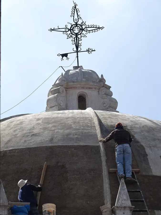
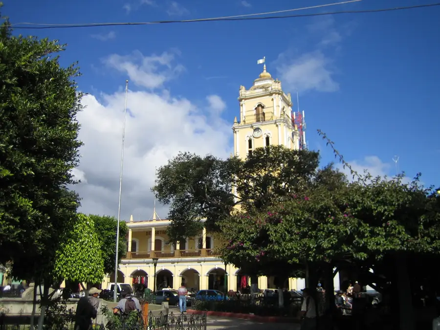
- Make sure to visit the colonial church of San Cristóbal, which is a major architectural highlight of the region.
- The town is located near the Cuatro Caminos intersection, a major transit hub for highland buses.
🍽 Food
Small, traditional corn tamales with tomato sauce and meat, often sold at the market or street stalls.
Grab a hot cup of Atol (a thick corn-based drink) from the stalls around the main plaza to warm up in the morning.
Visit a local bakery (Panadería) for fresh sweet bread that pairs perfectly with highland coffee.
🛍 Shopping · 🧘 Quiet spots
Visit the local workshops that craft and sell masks and elaborate costumes used in traditional Maya dances.
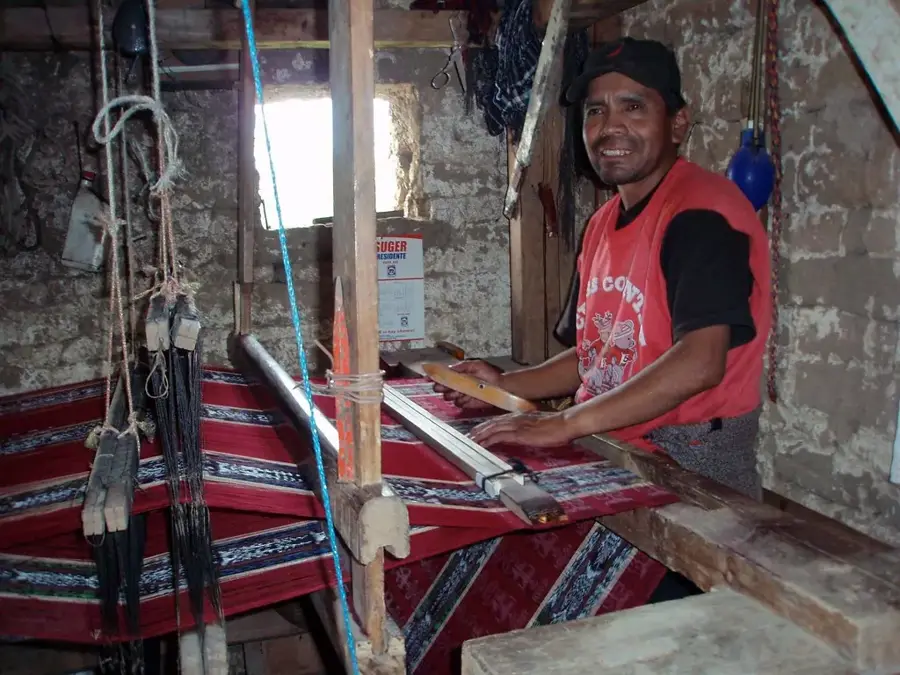
The market has high-quality traditional textiles and blankets, often sold directly by the weavers.
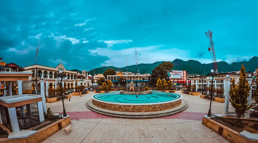
The spacious courtyard in front of the church is a quiet spot to take in the colonial architecture.
Take a short walk up into the forested hills surrounding the town to enjoy the crisp, fresh mountain air.
Water temperature…
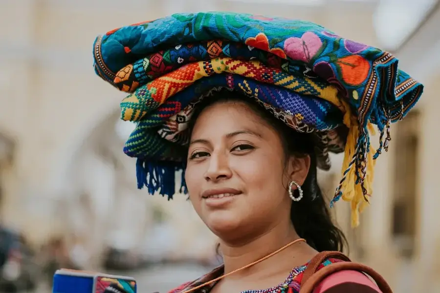
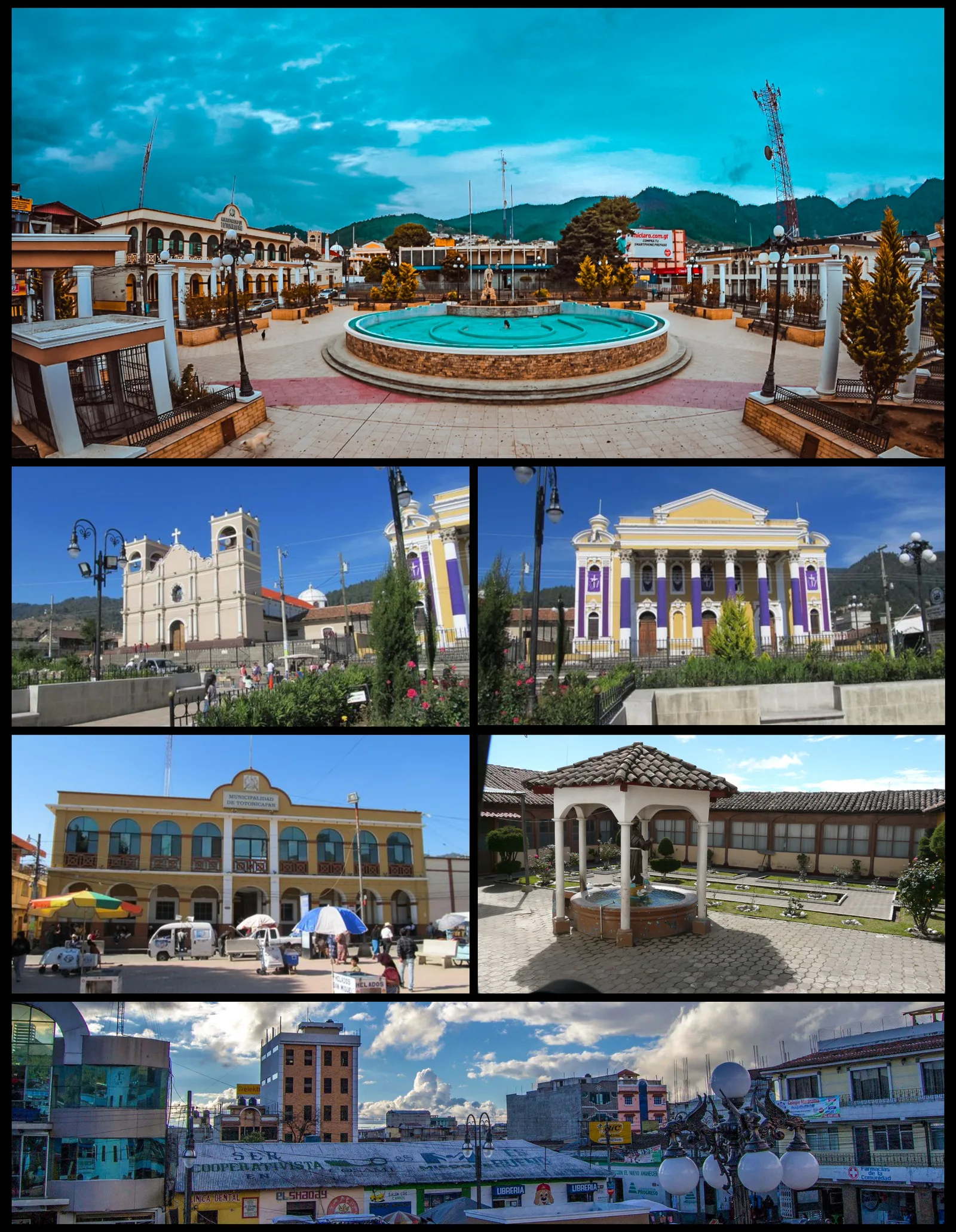
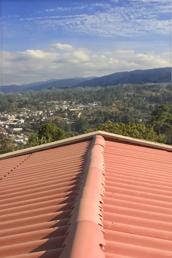
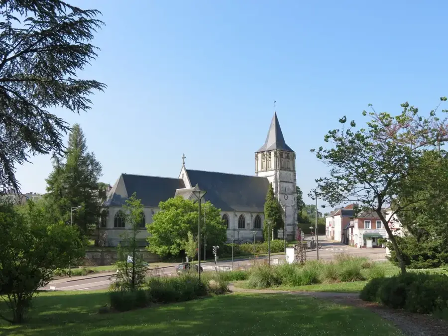
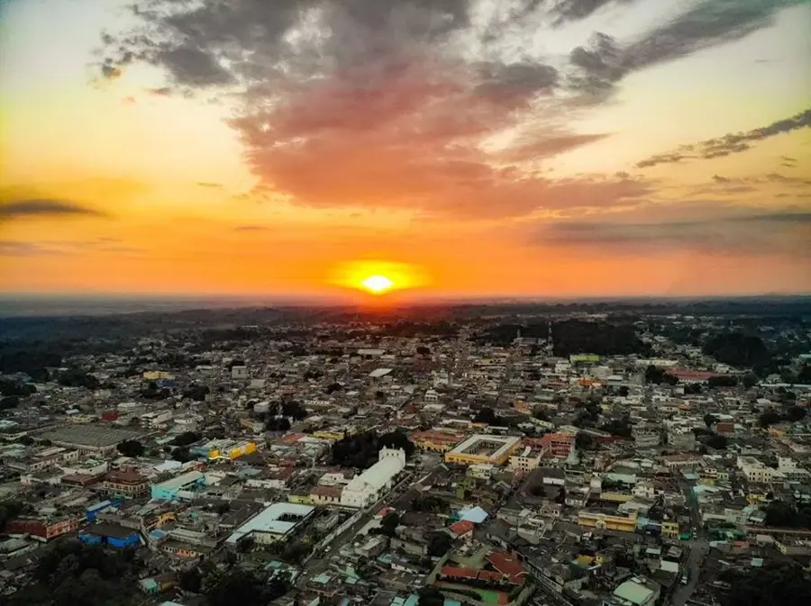
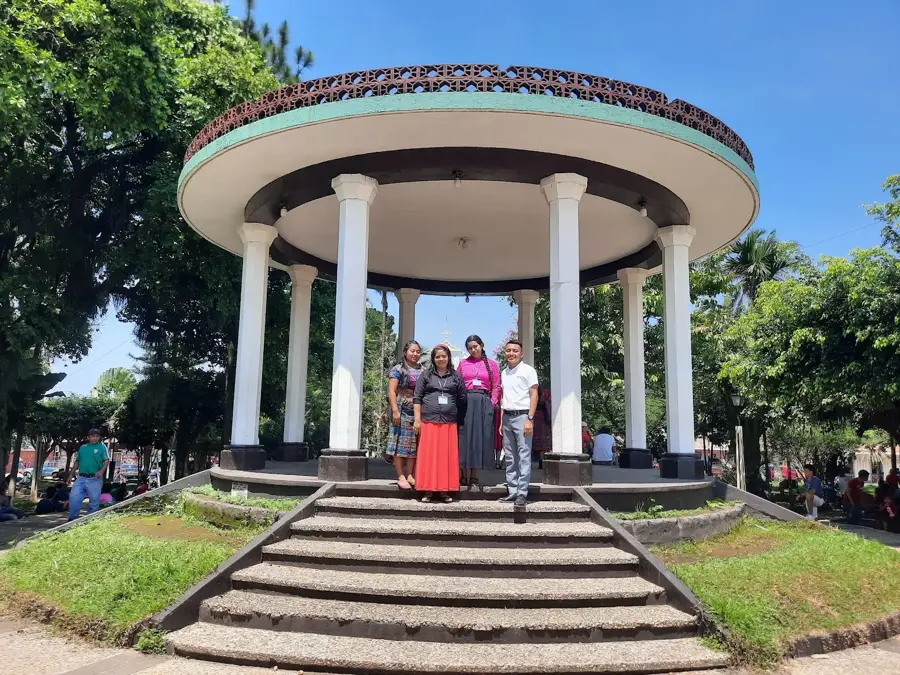
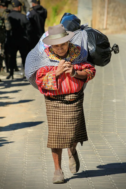
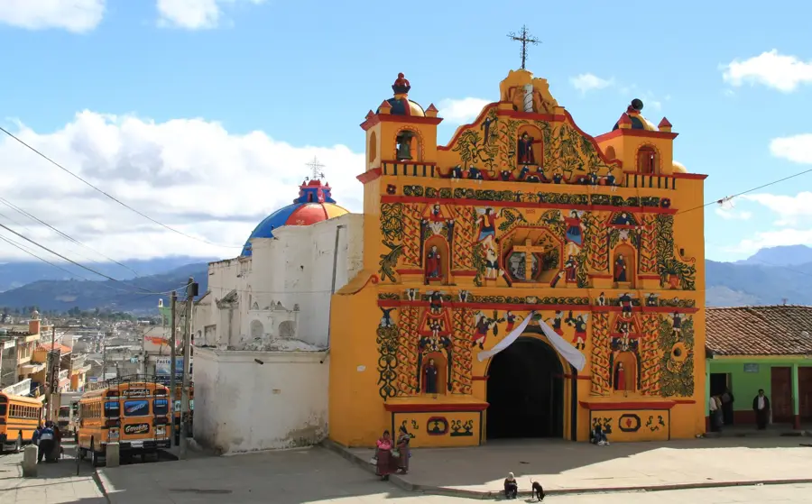
San Cristóbal Totonicapán is a strategically located municipality in the Totonicapán Department of western Guatemala. The town is situated at the confluence of the Samalá and Pensativo rivers, which historically favored settlement and agricultural activity. The town is widely known for its magnificent colonial parish church, featuring an impressive Baroque facade and precious religious artworks within. Geographically, San Cristóbal lies at an altitude of approximately 2,330 meters, resulting in a temperate to cool highland climate. Economically, the municipality is a significant center for commerce and handicrafts, particularly textile manufacturing and high-quality ceramic production. The inhabitants, predominantly K'iche' Mayan, continue to preserve their traditional customs and indigenous language. Due to its location on the Pan-American Highway, the town serves as a vital connecting point between the western departments and the country's capital.
- Location: Guatemala
- Nearby: Fuentes Georginas (5 km)
- Population: ~4.191 (2018)
Best time to visit & climate
The most pleasant time to visit is Feb–Apr.
| Jan | Feb | Mar | Apr | May | Jun | Jul | Aug | Sep | Oct | Nov | Dec | |
|---|---|---|---|---|---|---|---|---|---|---|---|---|
| Avg °C | 13 | 14 | 16 | 17 | 17 | 16 | 16 | 16 | 16 | 16 | 14 | 14 |
| Rain mm | 6 | 7 | 22 | 63 | 217 | 315 | 226 | 289 | 353 | 291 | 58 | 10 |
Geography
Facts
- The town is located at an elevation of 2,330 meters in the western highlands.
- San Cristóbal Totonicapán was founded by the Spanish around the year 1524.
- The parish church is considered one of the best-preserved Baroque buildings in the region.
- The Samalá River flows directly through the urban area of the town.
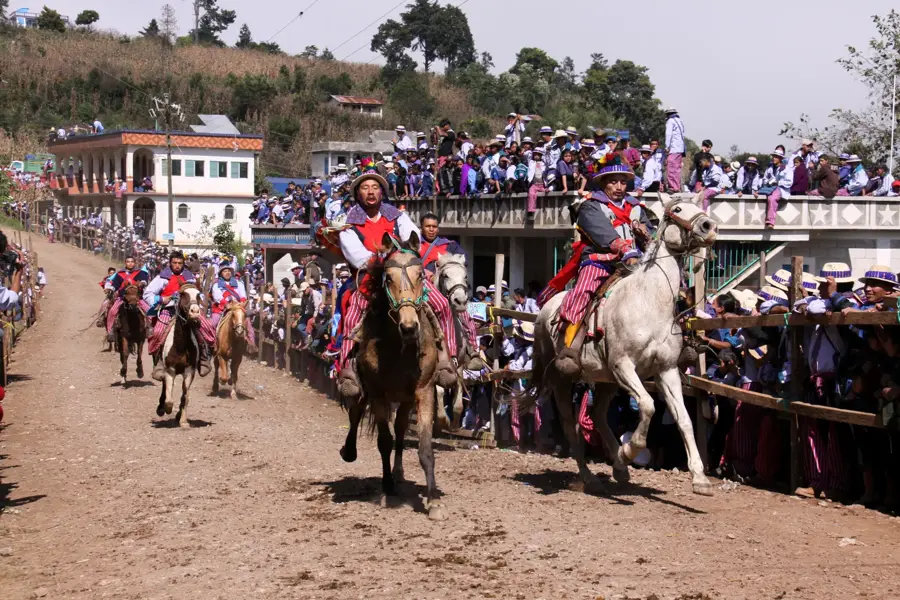
- The town is famous for the 'Baile de la Conquista,' a traditional dance.
- The economy is heavily based on the manufacture of wool blankets and ceramics.
Explore nearby
Notable places around
Route planner — Car & Motorhome
Where do you start? We build the route here, with stops and country notes along the way.
© OpenStreetMap contributors · OpenRouteService
Sights in the town San Cristóbal Totonicapán (1)
Frequently asked questions
What is special about the local church?
Is the town known for textiles?
When is market day?
What is the altitude?
How far is it from Totonicapán?
San Cristóbal Totonicapán: where is it located?
San Cristóbal Totonicapán: when is the best time to visit?
San Cristóbal Totonicapán: why is it worth visiting?

Nearby cities

History & landmarks
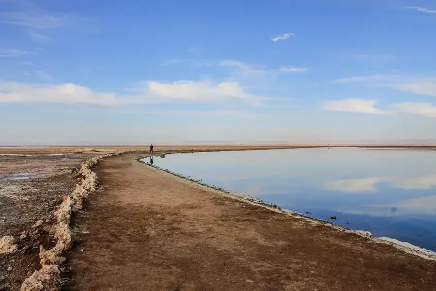
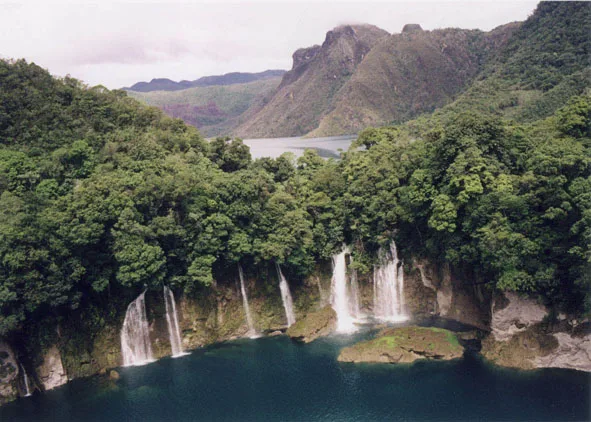
Nature
More places