Plizio Visual Lab
Nahualá
ℹ️Practical info — Nahualá
▾
🌤 Weather — 5 days
📍 Nearby
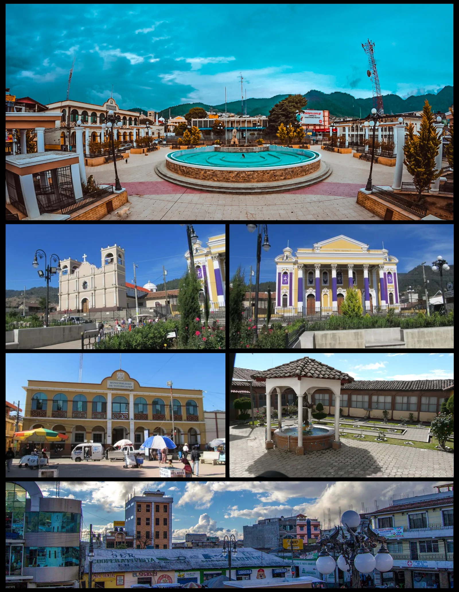
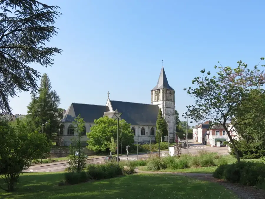
Sights nearby
💡 Tips
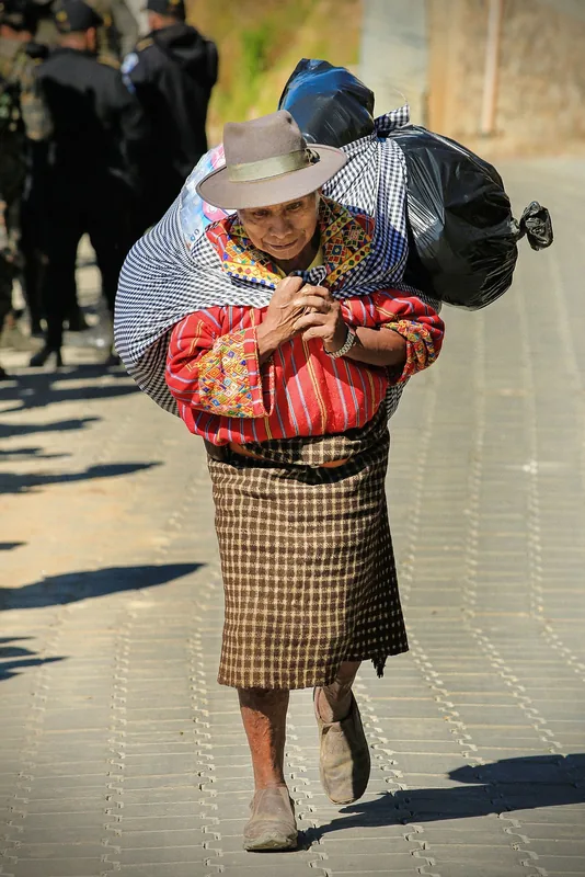
- Notice the traditional woolen 'rodillera' worn over pants by local K'iche' men.
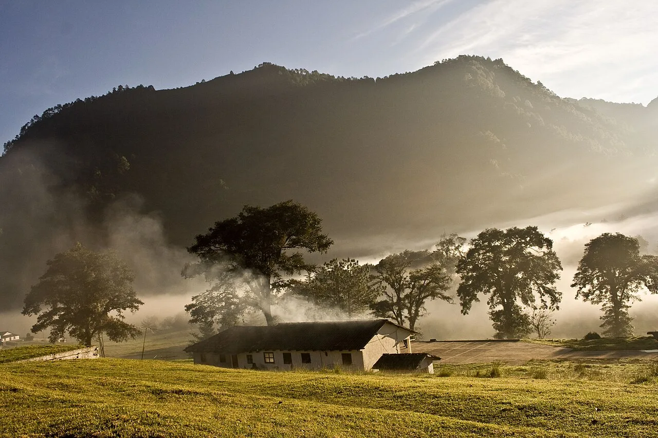
- The mountain mist often rolls in quickly; be prepared for a sudden drop in temperature.
- Ask politely before photographing people, as traditional communities highly value their privacy.
- It is an excellent place to observe the creation of traditional wooden furniture and metates (grinding stones).
🍽 Food
Try this robust, warming stew at the small comedores within the local market.
Buy thick, handmade corn tortillas directly from the women at the street stands.
A thick corn or rice drink sold on foggy mornings to help you warm up.
🛍 Shopping · 🧘 Quiet spots
The town is known for its carpenters; you can often buy small hand-carved items directly from them.
Heavy, traditional stone mortars made locally and sold in the market.
Look for thick fabrics and traditional clothing pieces in the local market.
The paths leading into the dense, often fog-covered forests offer absolute silence.
Leave the busy market area for a quiet walk through the outer streets.
Water temperature…
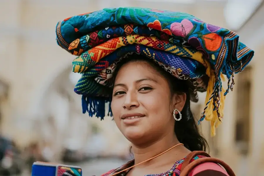
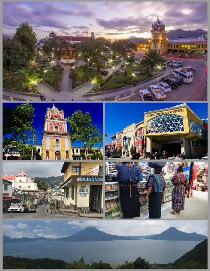
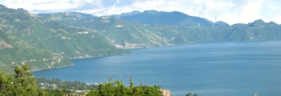
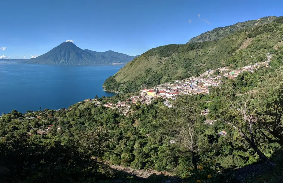
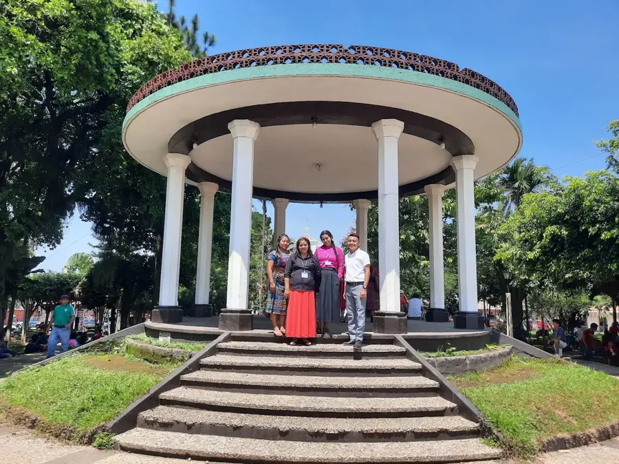
Nahualá is located in the Sololá Department and stands as one of the most culturally resilient K'iche' Maya communities in the Guatemalan western highlands. The town is situated at a high altitude of approximately 2,460 meters, resulting in a cool, misty climate. Historically, Nahualá is noted for its fierce independence and long-standing resistance to outside political and cultural interference. The local economy is founded on specialized traditional crafts, including the manufacture of marimbas, stone grinding tools (piedras de moler), and heavy wool textiles. Residents are known for their unique traditional attire, particularly the men who wear a checkered wool kilt known as a 'rodillera.' Geographically, the municipality is defined by rugged, mountainous terrain that shapes both its isolation and its agricultural practices. Nahualá remains a primary center for the K'iche' language, which is spoken by almost the entire population. Spiritual life in the town is a profound blend of Catholic practices and ancient Maya ceremonies performed at sacred mountain sites.
- Location: Guatemala
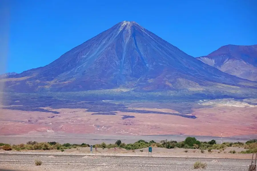
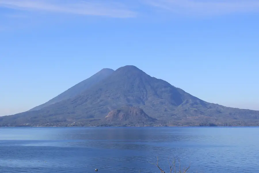
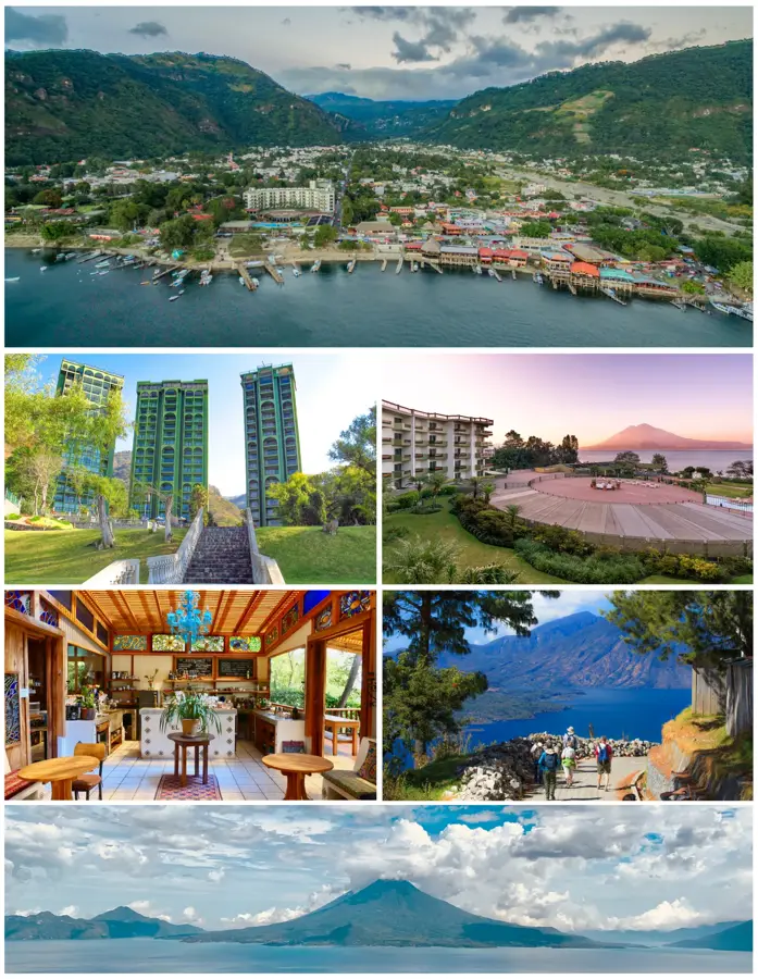
- Nearby: San Pedro La Laguna (5 km)
- Population: ~27.690 (2018)
Best time to visit & climate
The most pleasant time to visit is Feb–Apr.
| Jan | Feb | Mar | Apr | May | Jun | Jul | Aug | Sep | Oct | Nov | Dec | |
|---|---|---|---|---|---|---|---|---|---|---|---|---|
| Avg °C | 13 | 14 | 16 | 17 | 17 | 16 | 16 | 16 | 16 | 16 | 14 | 14 |
| Rain mm | 6 | 7 | 22 | 63 | 217 | 315 | 226 | 289 | 353 | 291 | 58 | 10 |
Geography
Facts
- The elevation is approximately 2,460 meters.
- It is a prominent center for the K'iche' Maya people.
- Famous for producing high-quality stone tools and marimbas.
- Traditional male dress includes a wool skirt called a 'rodillera.'
- Located in the Sololá Department along the Pan-American Highway.
- The community maintains a high degree of cultural autonomy.
Explore nearby
Notable places around
Route planner — Car & Motorhome
Where do you start? We build the route here, with stops and country notes along the way.
© OpenStreetMap contributors · OpenRouteService
Frequently asked questions
What is Nahualá known for?
What is special about the men's clothing in Nahualá?
Is Nahualá a traditional town?
What can you buy at the Nahualá market?
What is the climate like in Nahualá?
Nahualá: where is it located?
Nahualá: when is the best time to visit?
Nahualá: why is it worth visiting?

Nearby cities


History & landmarks

More places