Plizio Visual Lab
Guatemalan Highlands
Weather…
Water temperature…
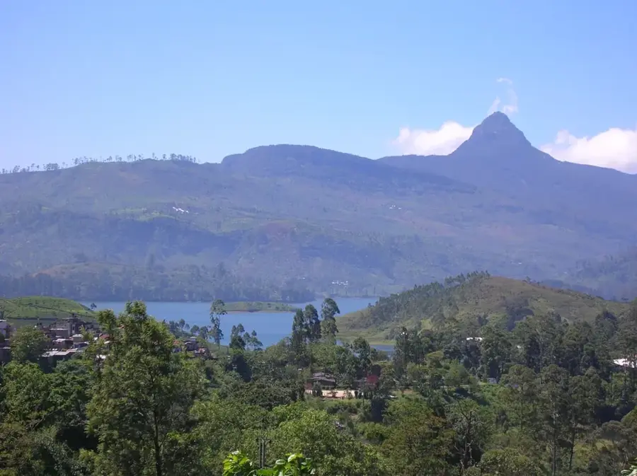
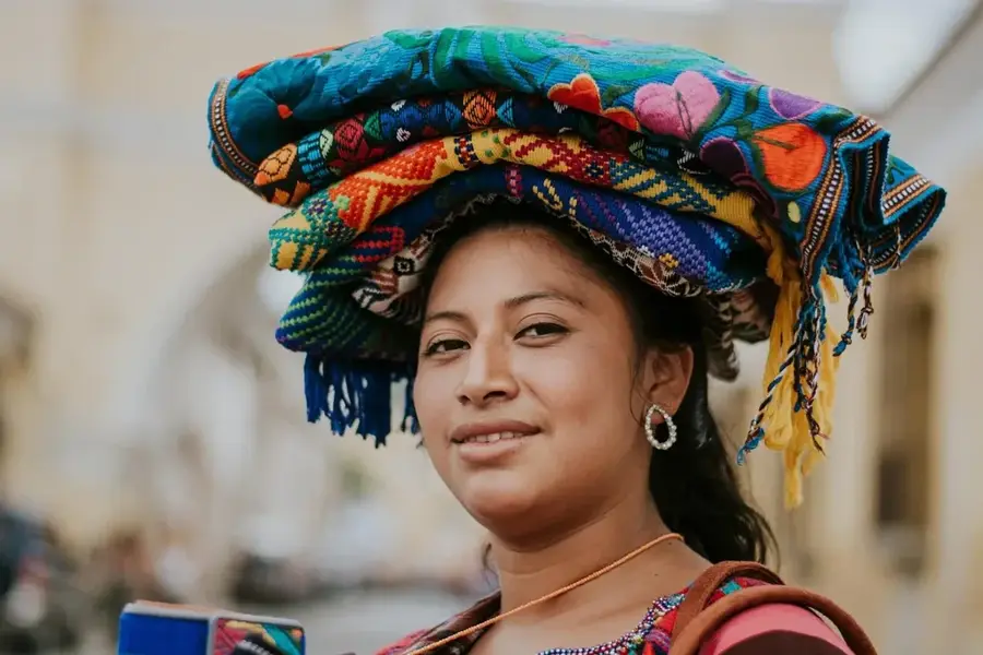
The Guatemalan Highlands, also known as the Altiplano, is an extensive mountainous region stretching through the central and western parts of the country. It is characterized by a complex topography of volcanic chains, deep valleys, and broad high plateaus, ranging between 1,500 and 3,000 meters above sea level. Geologically, the region has been shaped by the boundary between the North American and Caribbean plates, as well as by intense Quaternary volcanic activity. The Altiplano is the most densely populated area of Guatemala and is considered the cultural heartland of the Maya, as numerous indigenous languages and traditions remain lively here today. Agriculture is the primary economic sector, with corn, beans, and highland coffee cultivation dominating the volcanic soils. The climate is temperate to cool, earning the region the nickname 'Land of Eternal Spring.' Scientific research in the highlands focuses on erosion control and monitoring seismic activity along major fault lines.
- Location: Guatemala
- Nearby: San Marcos La Laguna (5 km)
Best time to visit & climate
The most pleasant time to visit is Feb–Apr.
| Jan | Feb | Mar | Apr | May | Jun | Jul | Aug | Sep | Oct | Nov | Dec | |
|---|---|---|---|---|---|---|---|---|---|---|---|---|
| Avg °C | 13 | 14 | 16 | 17 | 17 | 16 | 16 | 16 | 16 | 16 | 14 | 14 |
| Rain mm | 6 | 7 | 22 | 63 | 217 | 315 | 226 | 289 | 353 | 291 | 58 | 10 |
📋 Practical info
Geography
Facts
- The region hosts over 30 volcanoes, several of which are active.
- The Altiplano covers approximately 25% of the total land area.
- Average temperatures range between 15°C and 22°C.
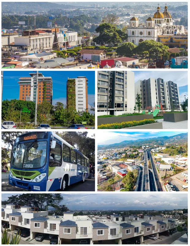
- The city of Quetzaltenango (2,330 m) is the economic center of the west.
- It is home to more than 20 different Maya linguistic groups.
- Lake Atitlán, one of the deepest lakes in the world, is located in this region.
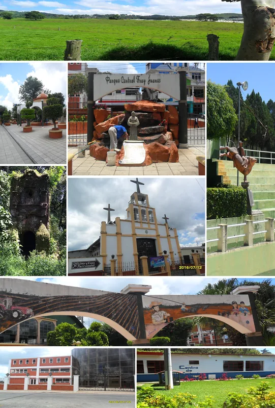
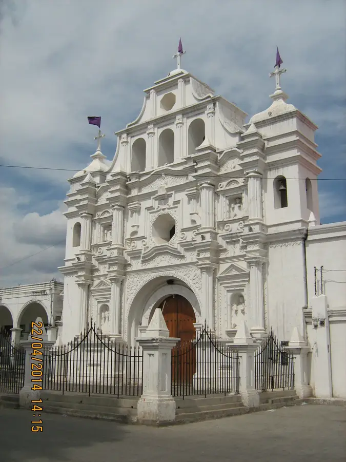
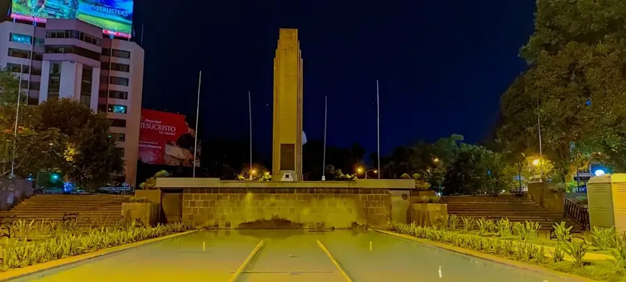
Explore nearby
Notable places around
Route planner — Car & Motorhome
Where do you start? We build the route here, with stops and country notes along the way.
© OpenStreetMap contributors · OpenRouteService
Sights nearby
Frequently asked questions
What is the Guatemalan Highlands?
Which cities are located in the Highlands?
What is the region culturally known for?
When is the best time to visit?
What is the weather like there?
Guatemalan Highlands: where is it located?
Guatemalan Highlands: when is the best time to visit?
Guatemalan Highlands: why is it worth visiting?

Nearby cities
History & landmarks

More places