Plizio Visual Lab
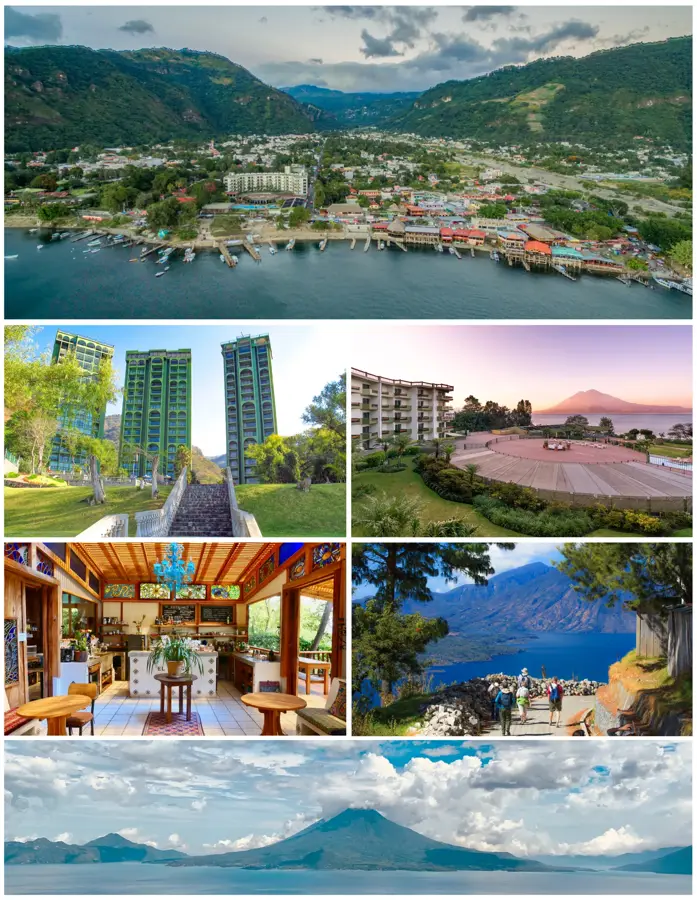
San Pedro La Laguna
ℹ️Practical info — San Pedro La Laguna
▾
🌤 Weather — 5 days
📍 Nearby
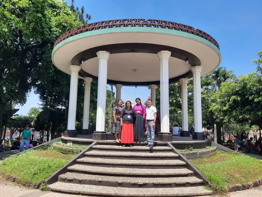
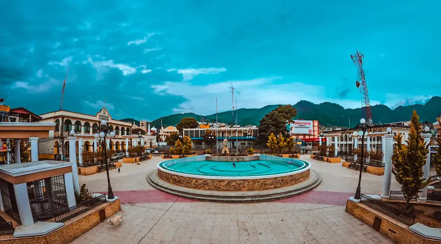
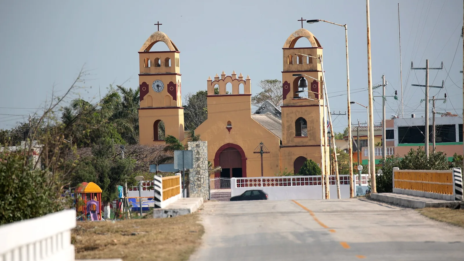
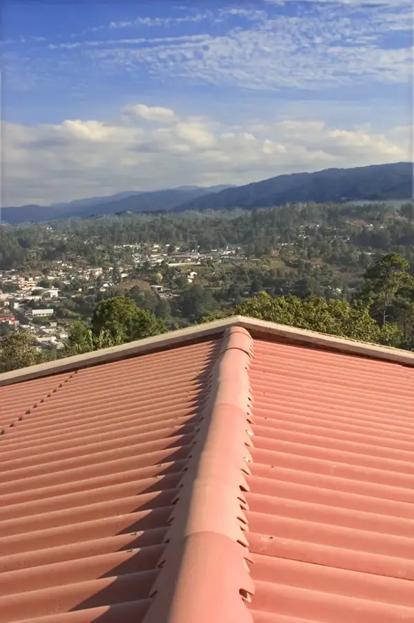
Sights nearby
💡 Tips
- A backpacker hub on Lake Atitlán, offering an animated nightlife and numerous Spanish schools.
- Boats (lanchas) are the main transport between lake towns; check the schedule for the last boat to avoid getting stranded.
- Hike up the San Pedro Volcano early in the morning for spectacular views, but hire a local guide for safety.
- The town has a steep layout; wear comfortable walking shoes to navigate the uphill streets from the dock.
- To experience the local Tz'utujil Maya culture, explore the upper part of town away from the tourist-heavy lakeshore.
🍽 Food
Often served fried with garlic, available at traditional lakeside restaurants.
Thanks to the expat and backpacker community, there are many healthy cafes near the docks.
The volcanic soil around the lake produces excellent coffee; visit a lakeside cafe or local roaster.
🛍 Shopping · 🧘 Quiet spots
Vivid, colorful naive art paintings depicting local life and landscapes, sold in many galleries.
Bags, clothing, and blankets woven on backstrap looms.
Buy directly from local cooperatives that support indigenous farmers.
Solar-heated hot tubs available for rent along the lakeshore for a relaxing sunset soak.
The plaza in the upper part of town is much quieter and provides a glimpse into local daily life.
Rent a kayak early in the morning when the water is calmest for a peaceful perspective of the town.
Water temperature…
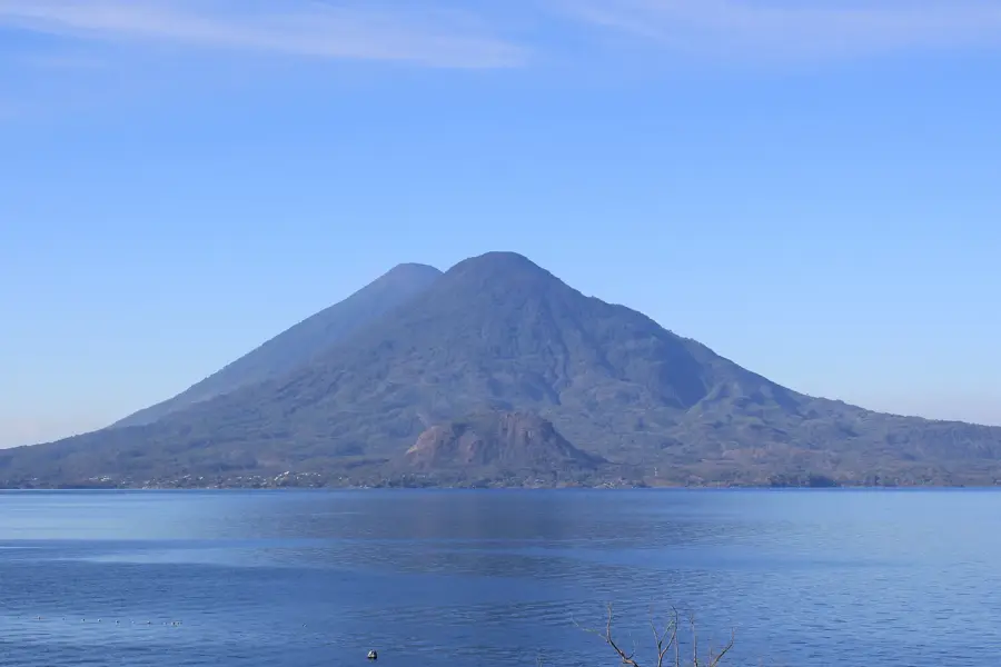
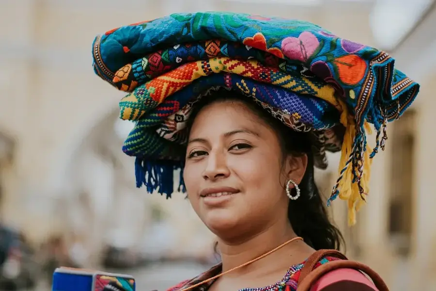
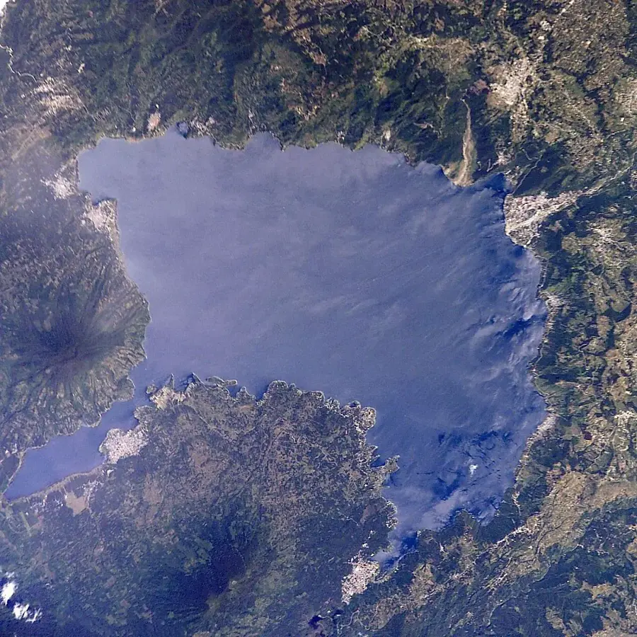
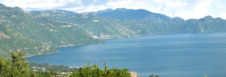
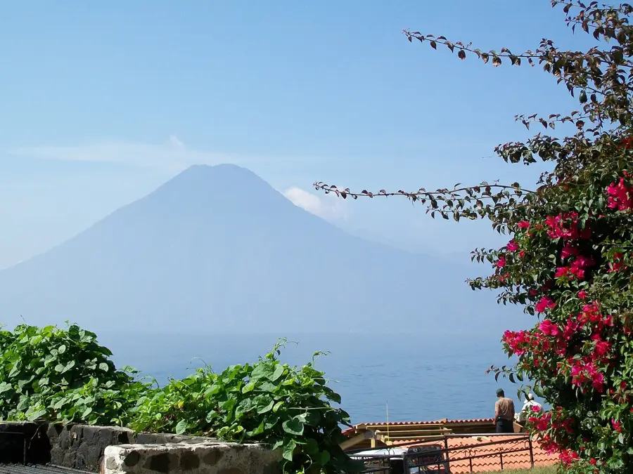
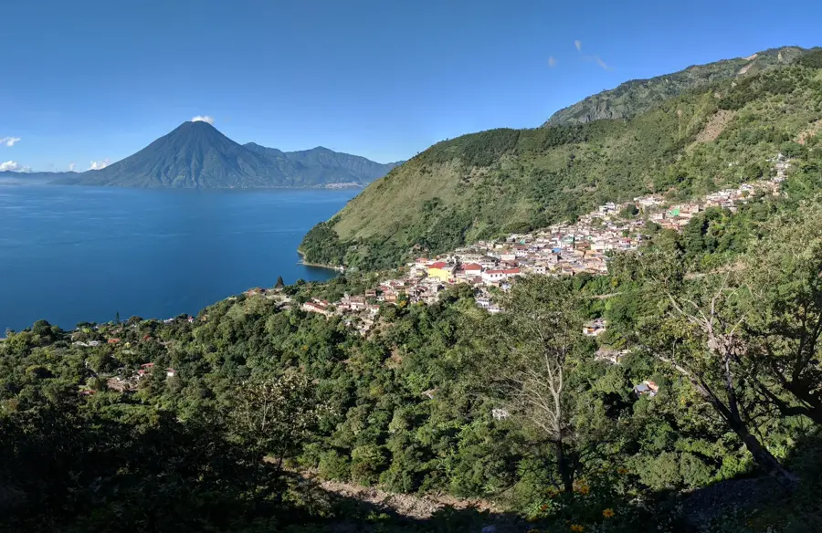
San Pedro La Laguna is situated on the southwestern shore of Lake Atitlán in the Sololá Department, positioned at the base of the San Pedro Volcano. The town serves as a vital cultural hub for the Tz'utujil Maya people, who maintain their indigenous language and traditional customs. Historically, this area was a significant part of the Tz'utujil kingdom prior to Spanish colonization in the 16th century. Located at an elevation of approximately 1,565 meters above sea level, the municipality thrives on fertile volcanic soil handy for high-altitude coffee production. Modern San Pedro is widely recognized for its numerous Spanish language schools and its animated community of local painters and weavers. The geographical setting is characterized by the dramatic rise of the 3,020-meter volcano directly from the lake's edge. The town plays a crucial role in the regional economy of the western highlands through both agriculture and sustainable tourism initiatives focused on cultural heritage.
- Location: Guatemala
- Top sights: San Juan La Laguna · San Pablo La Laguna · San Marcos La Laguna
- Nearby: Nahualá (5 km)
- Population: ~9.681 (2015)
Best time to visit & climate
The most pleasant time to visit is Jan, Feb, Dec.
| Jan | Feb | Mar | Apr | May | Jun | Jul | Aug | Sep | Oct | Nov | Dec | |
|---|---|---|---|---|---|---|---|---|---|---|---|---|
| Avg °C | 21 | 22 | 23 | 24 | 24 | 23 | 23 | 23 | 22 | 22 | 21 | 21 |
| Rain mm | 4 | 6 | 18 | 64 | 231 | 317 | 234 | 292 | 346 | 302 | 61 | 8 |
Geography
Facts
- The town is situated at an elevation of 1,565 meters.
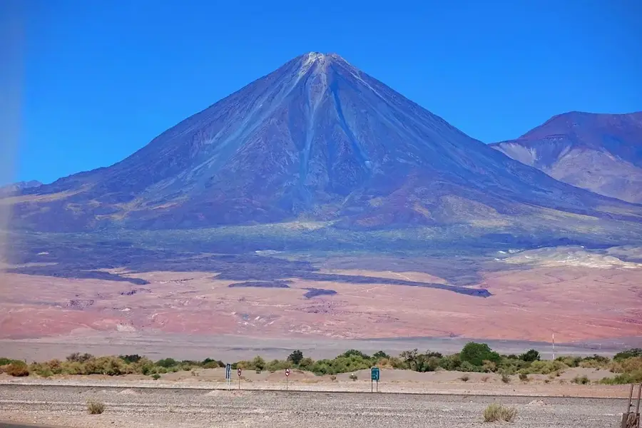
- San Pedro Volcano rises to an altitude of 3,020 meters nearby.
- The majority of residents belong to the Tz'utujil Maya ethnic group.
- Located approximately 170 kilometers from Guatemala City.
- Coffee production is the primary agricultural export of the region.
- The area is a significant center for Spanish language immersion schools.
Explore nearby
Notable places around
Route planner — Car & Motorhome
Where do you start? We build the route here, with stops and country notes along the way.
© OpenStreetMap contributors · OpenRouteService
Sights in the town San Pedro La Laguna (3)
Frequently asked questions
Is San Pedro la Laguna good for hikers?
Are there Spanish schools there?
What is special about the atmosphere in San Pedro?
Are there thermal baths in San Pedro?
How safe is the volcano hike?
San Pedro La Laguna: where is it located?
San Pedro La Laguna: what is there to see?
San Pedro La Laguna: when is the best time to visit?
San Pedro La Laguna: why is it worth visiting?

Nearby cities
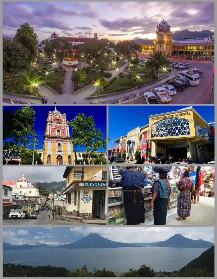

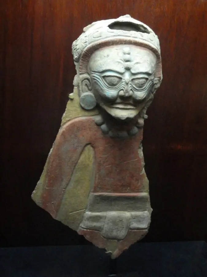
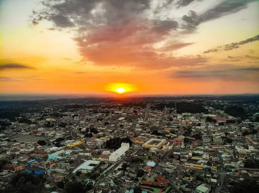
History & landmarks

More places