Plizio Visual Lab
El Palmar
ℹ️Practical info — El Palmar
▾
🌤 Weather — 5 days
📍 Nearby
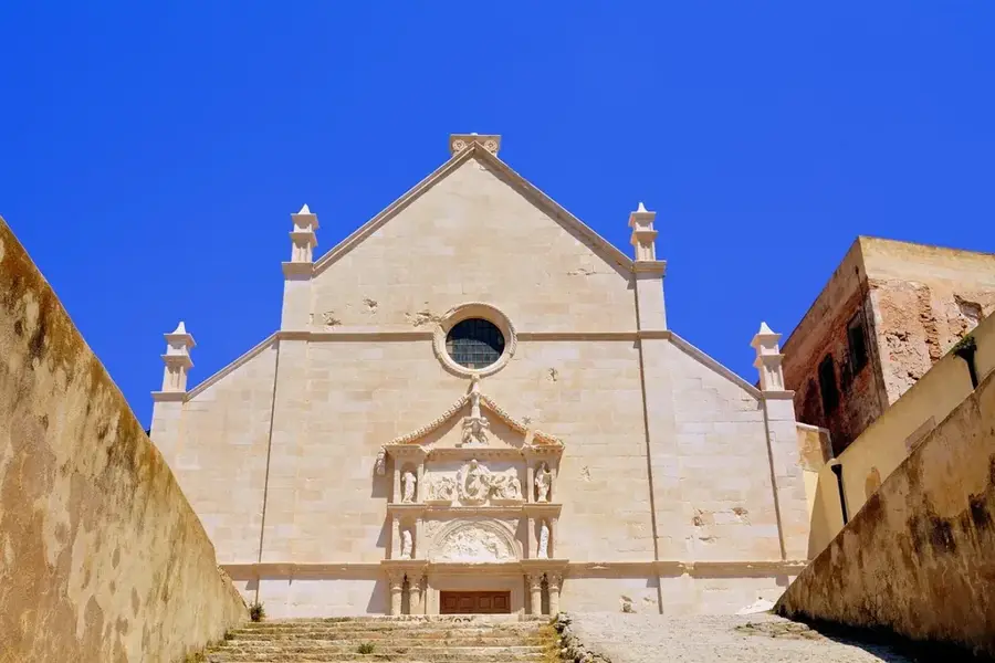
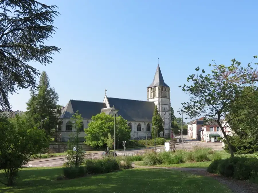
Sights nearby
💡 Tips
- Learn about the town's history; 'Old El Palmar' was destroyed by the Santiaguito volcano eruptions.
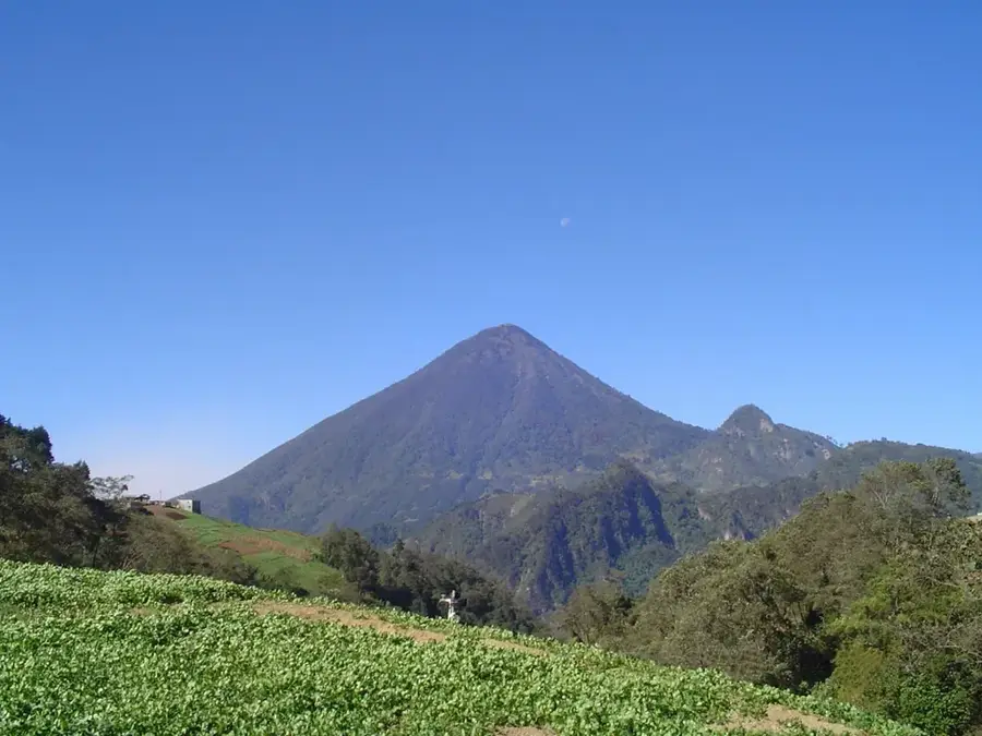
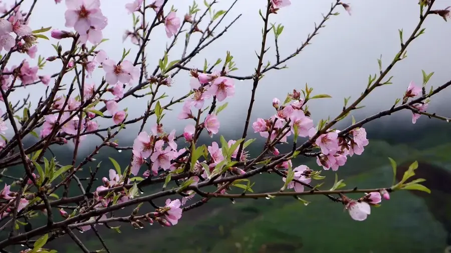
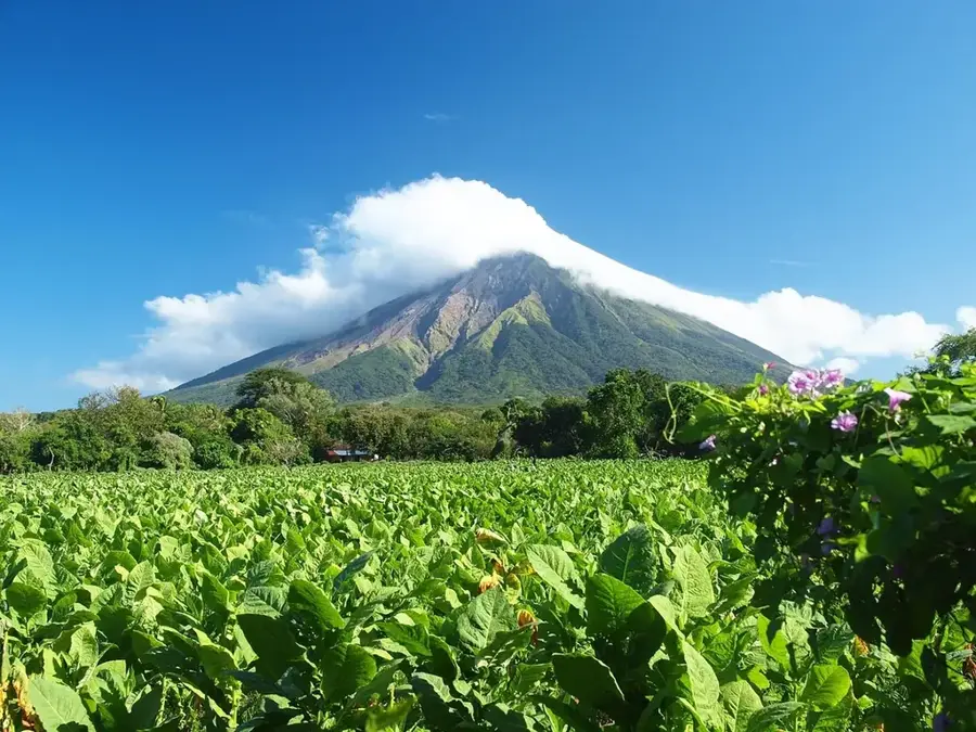
- Ask locals about viewpoints for the volcano, best seen in the early morning before clouds roll in.
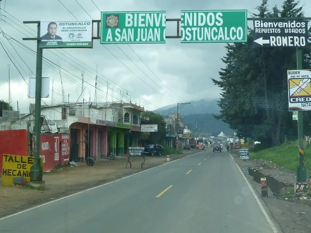
- The climate here is noticeably more tropical and humid than in nearby Quetzaltenango city.
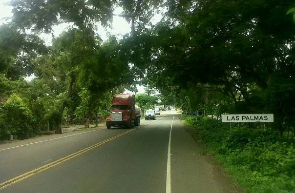
- Public transport by 'chicken bus' from Xela is frequent but expect a bumpy ride.
🍽 Food
A rich, traditional stew served in simple comedores near the main park.
Often found freshly squeezed by street vendors due to the local sugar cane fields.
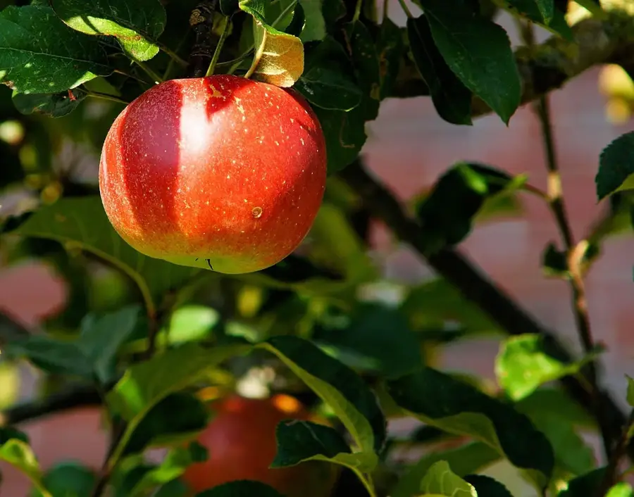
Sourced from the surrounding lower-altitude fincas, offering a distinct flavor.
🛍 Shopping · 🧘 Quiet spots
Buy unbranded, locally roasted beans from small independent shops.
Unrefined whole cane sugar, sold in large blocks at the local market.
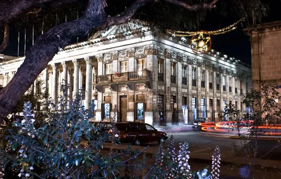
A calm, well-kept space in the relocated town center to rest.
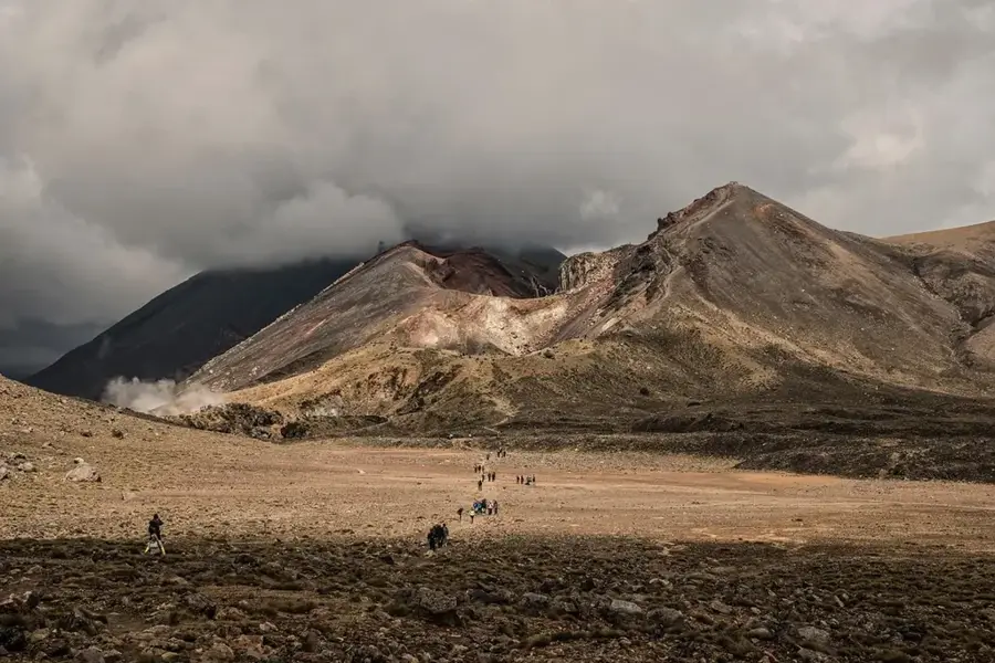
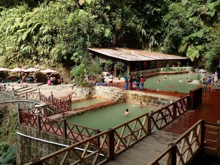
For adventurous walkers, a solemn and quiet reminder of nature's power.
Water temperature…
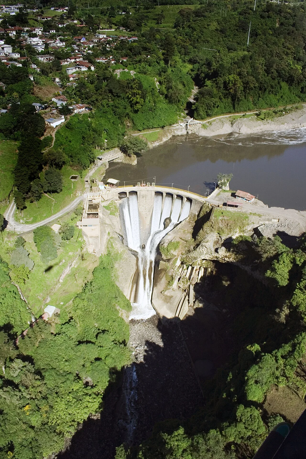
El Palmar is a municipality in the Quetzaltenango department with a unique history defined by its proximity to the Santiaguito volcano. The original town site was repeatedly struck by devastating lahars (volcanic mudflows) starting in the 1980s, eventually leading to its complete abandonment and the establishment of Nuevo El Palmar in a safer location. Geographically, it sits on the transitional slopes between the western highlands and the Pacific coastal plain, providing a well-suited environment for diverse agriculture. The region is a significant producer of high-quality coffee, rubber, and various tropical fruits, sustained by the rich volcanic soil and high rainfall. Historically, El Palmar was established in the mid-19th century as part of the coffee boom that transformed Guatemala's economy. Today, the ruins of the old town serve as a stark reminder of volcanic hazards, while the new settlement continues to thrive as a vital agricultural center.
- Location: Guatemala
- Nearby: San Mateo Ixtatán (4 km)
- Population: ~15.167 (2019)
Best time to visit & climate
The most pleasant time to visit is Jan, Feb, Dec.
| Jan | Feb | Mar | Apr | May | Jun | Jul | Aug | Sep | Oct | Nov | Dec | |
|---|---|---|---|---|---|---|---|---|---|---|---|---|
| Avg °C | 21 | 22 | 23 | 24 | 24 | 23 | 23 | 23 | 22 | 22 | 21 | 21 |
| Rain mm | 4 | 6 | 18 | 64 | 231 | 317 | 234 | 292 | 346 | 302 | 61 | 8 |
Geography
Facts
- Old El Palmar was buried by up to 10 meters of volcanic debris over two decades.
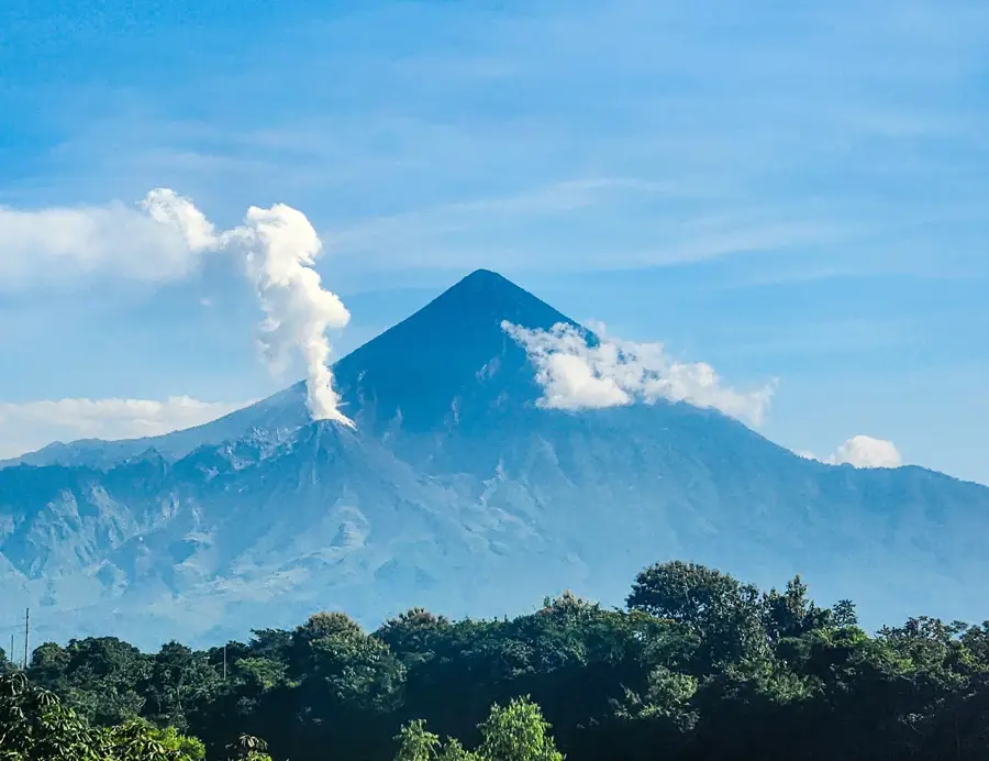
- The Santiaguito volcano is one of the few volcanoes in the world with a growing lava dome.
- Nuevo El Palmar was established as a planned community to relocate displaced families.
- The municipality's economy is centered on large-scale coffee and rubber estates.
- The region experiences some of the highest rainfall rates in Central America.
- The local population maintains a strong tradition of agricultural expertise despite the relocation.
Explore nearby
Notable places around
Route planner — Car & Motorhome
Where do you start? We build the route here, with stops and country notes along the way.
© OpenStreetMap contributors · OpenRouteService
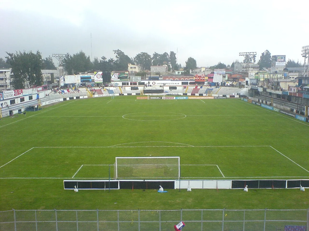
Sights in the town El Palmar (1)
Frequently asked questions
Why is there an 'old' and a 'new' El Palmar?
Can you visit the ruins of old El Palmar?
Which volcano is visible from here?
What is the main economic product of the region?
Is the area safe for hiking?
El Palmar: where is it located?
El Palmar: when is the best time to visit?
El Palmar: why is it worth visiting?

Nearby cities

History & landmarks
Nature
More places