Plizio Visual Lab
Totonicapán
ℹ️Practical info — Totonicapán
▾
🌤 Weather — 5 days
📍 Nearby
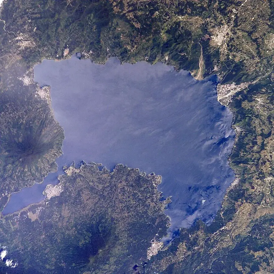
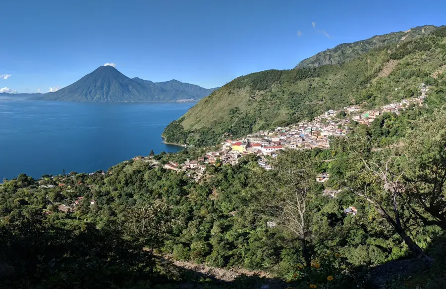
Sights nearby
💡 Tips
- The high altitude means chilly mornings and evenings, so pack warm layers.
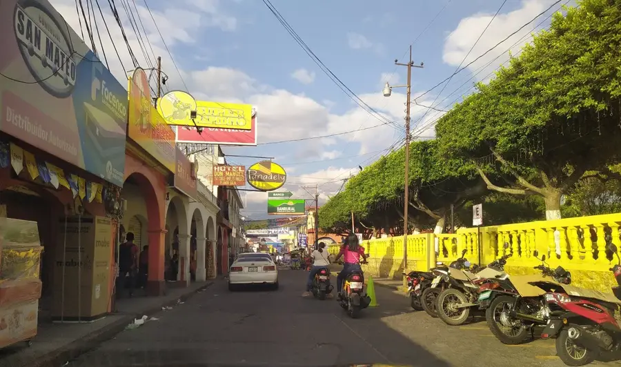
- The local market days are spirited; arrive early to see the best selection of artisan goods.
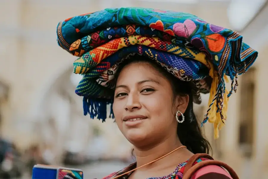
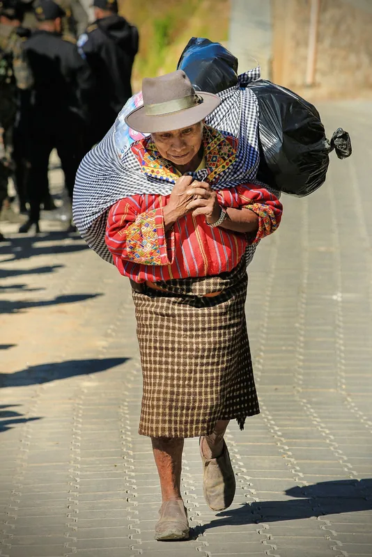
- Be respectful when taking photos of indigenous locals and their traditional attire.
- Try using the local 'camionetas' (chicken buses) for short trips to nearby villages.
🍽 Food
A traditional spiced meat stew, often found in comedores around the market area.
A warm, sweet corn beverage excellent for the chilly highland evenings, sold by street vendors.
Small tamales wrapped in corn husks, widely available from street food stalls.
🛍 Shopping · 🧘 Quiet spots
Look for colorful woven skirts (cortes) and blouses (huipiles) in the town center shops.
Artisanal glazed ceramics are a local specialty, available in the main market.
The surroundings of this neoclassical building offer a quiet architectural retreat.
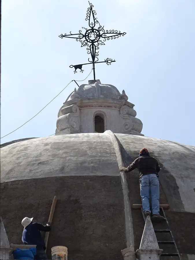
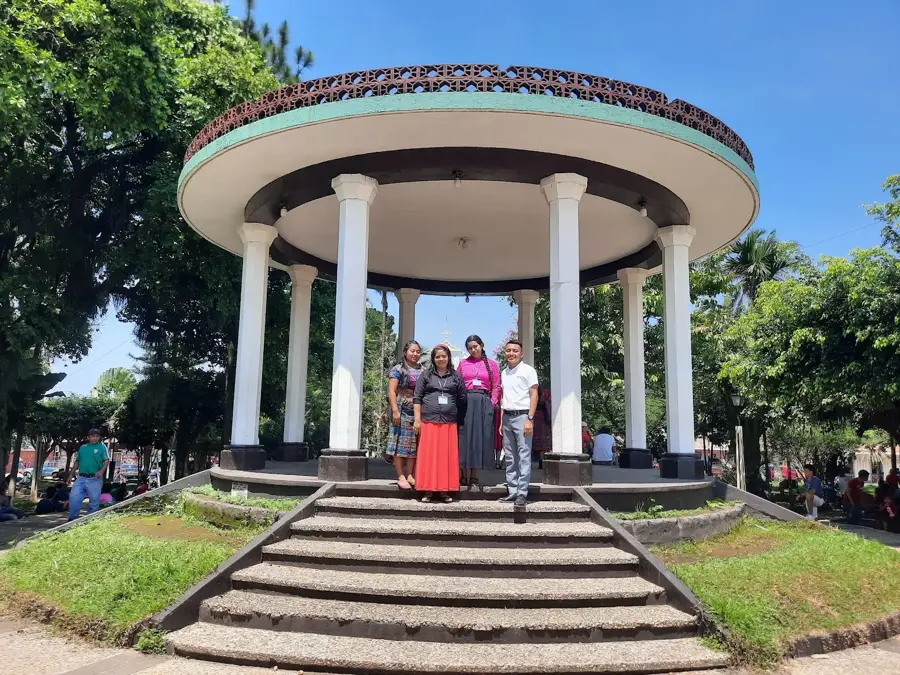
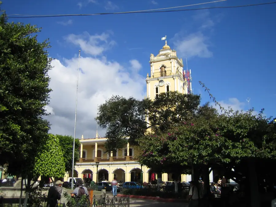
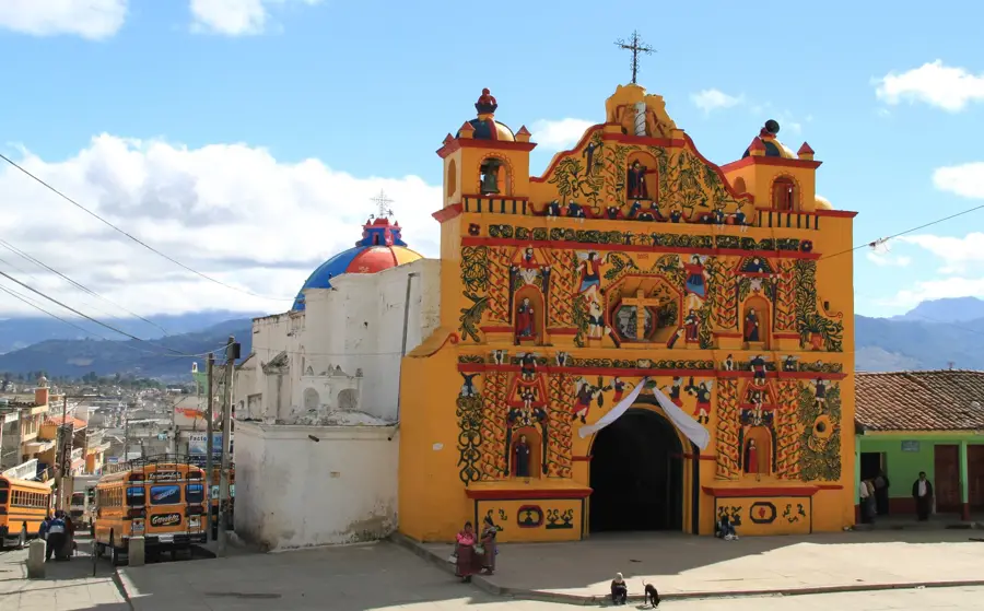
Step inside this historic church on the main square for a moment of peace.
Water temperature…
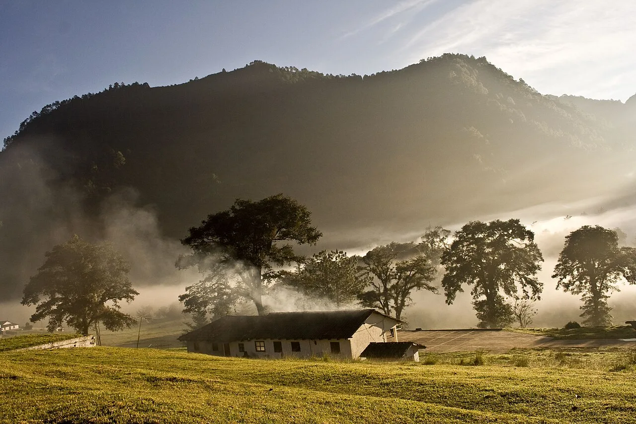
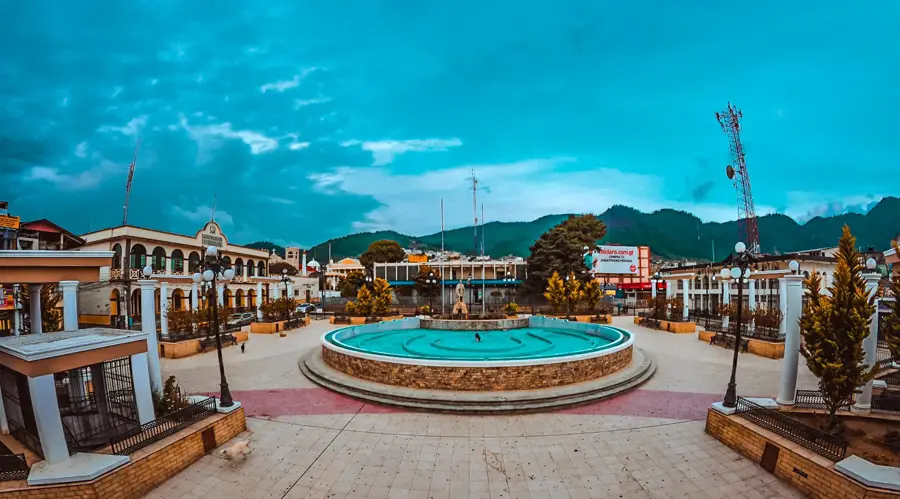
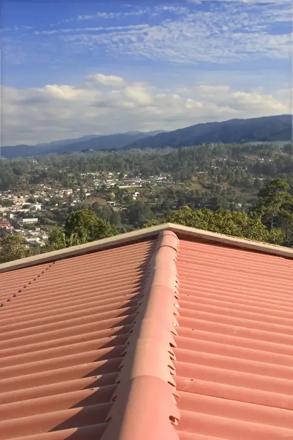
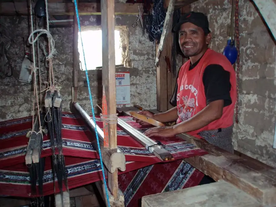
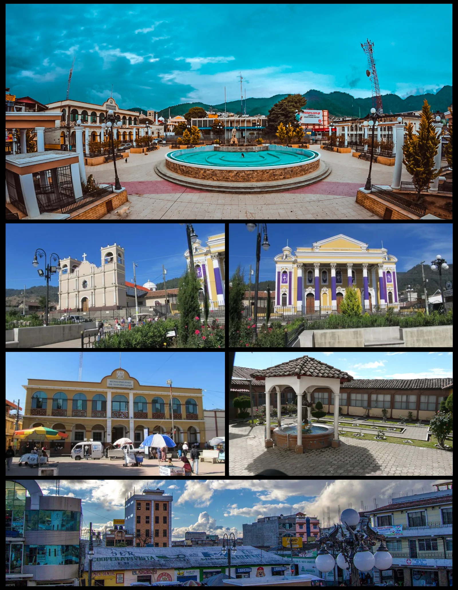
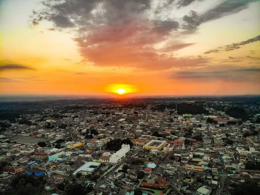
Totonicapán, the capital of the Totonicapán department in the western highlands of Guatemala, is a city renowned for its revolutionary history and its unparalleled artisan traditions. Perched at an elevation of 2,495 meters (nearly 8,200 feet), it is one of the highest and coldest departmental capitals in the country, often shrouded in mountain mist. Known as Chuimekená in the K'iche' language, meaning 'the place above the warm water,' the city was a major pre-Columbian center before becoming a flashpoint for colonial resistance. In 1820, it was the site of the famous indigenous uprising led by Atanasio Tzul and Lucas Aguilar against Spanish taxation, an event that remains a source of immense local pride. This legacy of self-governance continues through the '48 Cantones,' a powerful indigenous political organization that manages communal lands and forests independently of the national government. Geographically, the area is defined by dense coniferous forests, which sustain the city's most famous trade: woodworking. The carpenters of Totonicapán are widely regarded as the best in Guatemala, producing everything from fine furniture to ceremonial masks used in traditional dances. The city is also a textile powerhouse, known for producing high-quality foot-loomed fabrics used in traditional Maya 'trajes' across the nation. Pottery and traditional dance-drama productions are other key economic and cultural staples. The city center is dominated by the historic Church of San Miguel Arcángel, dedicated to its patron saint whose festival in late September is a spectacle of indigenous ritual and music. Demographically, Totonicapán is almost entirely inhabited by the K'iche' Maya, making it one of the most culturally homogeneous and linguistically preserved cities in Guatemala. Its combination of high-altitude beauty, political autonomy, and artistic mastery makes Totonicapán a cornerstone of highland Maya civilization.
- Location: Guatemala
- Nearby: Nahualá (5 km)
- Population: ~103.952 (2025)
Best time to visit & climate
The most pleasant time to visit is Feb–Apr.
| Jan | Feb | Mar | Apr | May | Jun | Jul | Aug | Sep | Oct | Nov | Dec | |
|---|---|---|---|---|---|---|---|---|---|---|---|---|
| Avg °C | 13 | 14 | 16 | 17 | 17 | 16 | 16 | 16 | 16 | 16 | 14 | 14 |
| Rain mm | 6 | 7 | 22 | 63 | 217 | 315 | 226 | 289 | 353 | 291 | 58 | 10 |
Geography
Facts
- Totonicapán is located at an elevation of 2,495 meters (8,186 feet).
- The city was officially established on July 13, 1544.
- It was the site of the 1820 indigenous revolt, the most significant in the region's history.
- The '48 Cantones' governing body is recognized as a constitutional entity.
- It is the primary center for traditional ceremonial mask carving in Guatemala.
- The municipality serves as the departmental capital of Totonicapán.
- St. Michael the Archangel is the patron saint, celebrated every September 29th.
- The climate is temperate-cold, with frost occurring frequently from November to January.
Explore nearby
Notable places around
Route planner — Car & Motorhome
Where do you start? We build the route here, with stops and country notes along the way.
© OpenStreetMap contributors · OpenRouteService
Sights in the town Totonicapán (1)
Frequently asked questions
What is Totonicapán known for?
Which ethnic group dominates the city?
Are there thermal springs in the area?
What is the weather like in Totonicapán?
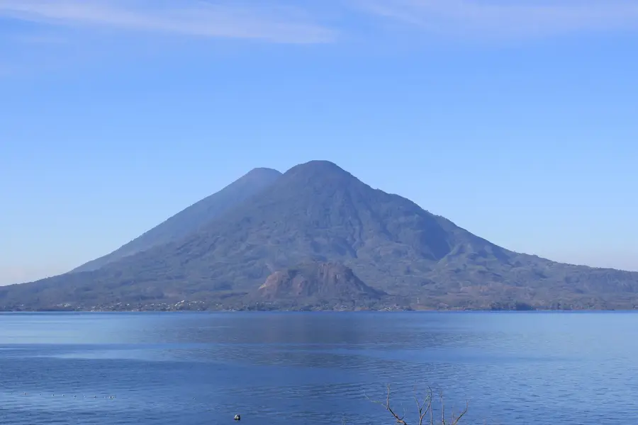
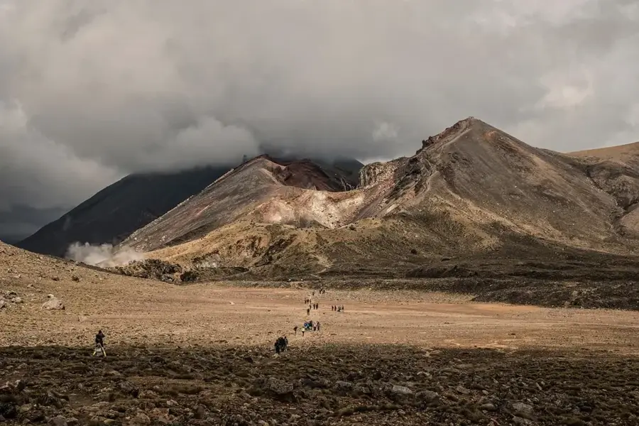
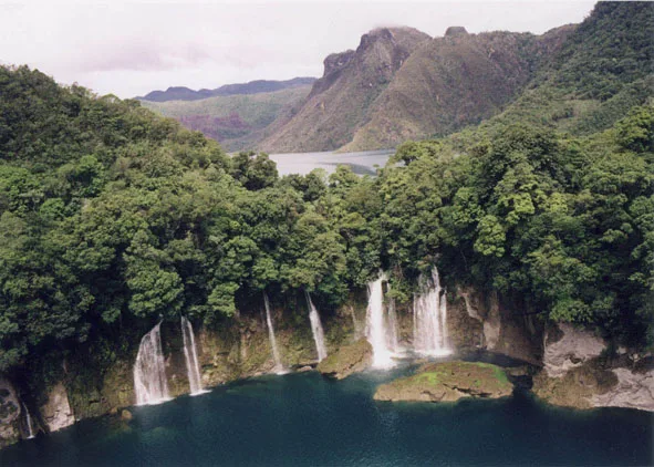
Are there natural monuments nearby?
Totonicapán: where is it located?
Totonicapán: when is the best time to visit?
Totonicapán: why is it worth visiting?

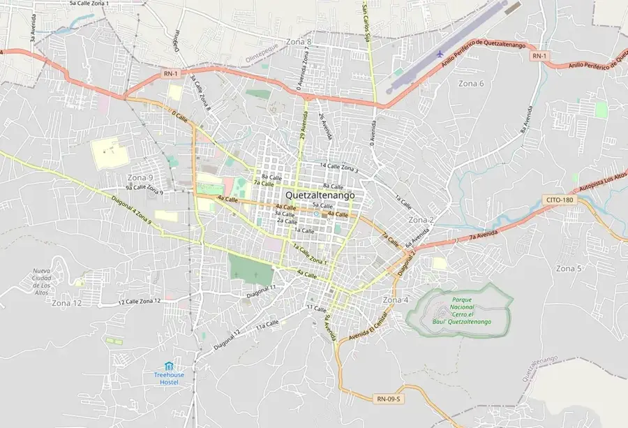
Nearby cities
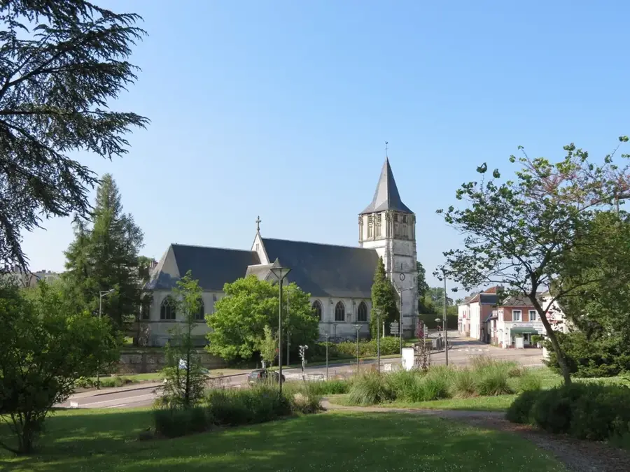
History & landmarks

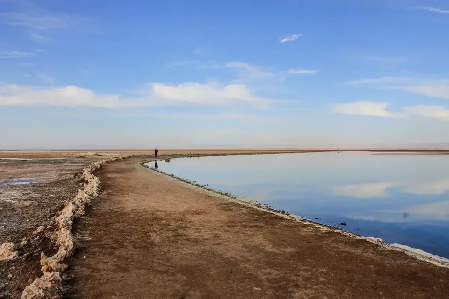
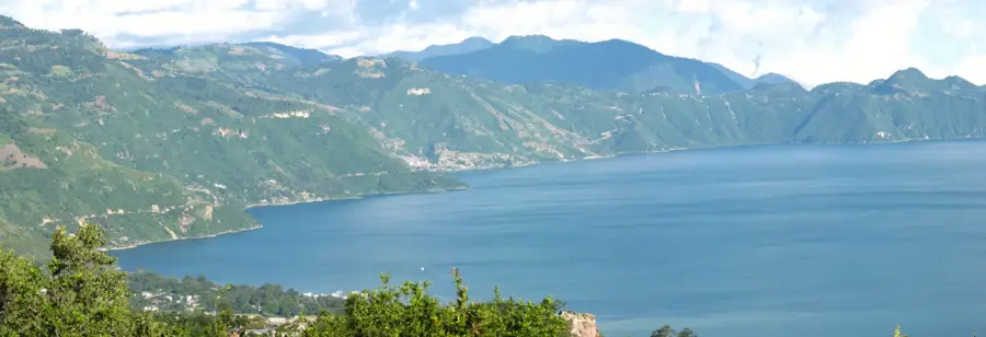
Nature
More places