Plizio Visual Lab
Momostenango
ℹ️Practical info — Momostenango
▾
🌤 Weather — 5 days
📍 Nearby
Sights nearby
💡 Tips
- The high altitude means cool weather year-round, so dressing in warm layers is essential.
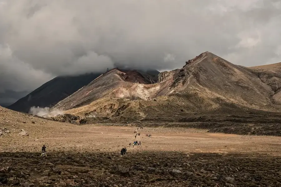
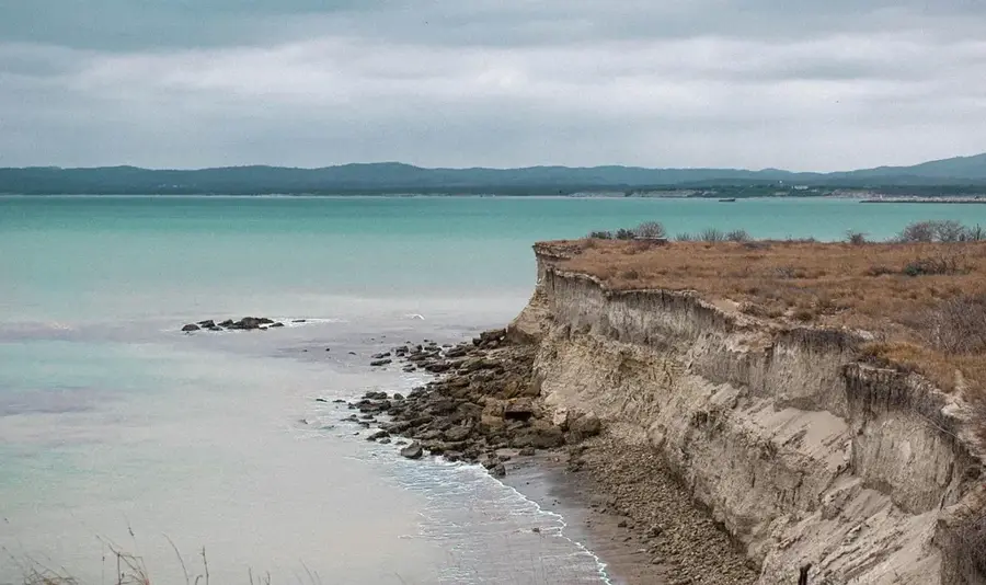
- Visit the striking 'Los Riscos' clay pillars early in the day for the best lighting.
- Respect local Mayan ceremonies; observe quietly and do not take photos without explicit permission.
- Sunday is the main market day, offering the best atmosphere and selection of goods.
🍽 Food
This hearty beef soup is first-rate for warming up on chilly days at the highland comedores.
Try the traditionally prepared hot chocolate in the small cafes around the market.
A traditional sweet bread often served with hot drinks at local bakeries.
🛍 Shopping · 🧘 Quiet spots
The town is famous for its heavy, warm ponchos; the Sunday market is the best place to buy them.
Visit local workshops to purchase hand-woven blankets directly from the artisans.
A natural park featuring bizarre earth formations, offering wonderful quiet away from the main paths.
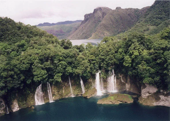
The forested hills surrounding the town are excellent for solitary walks.
Water temperature…
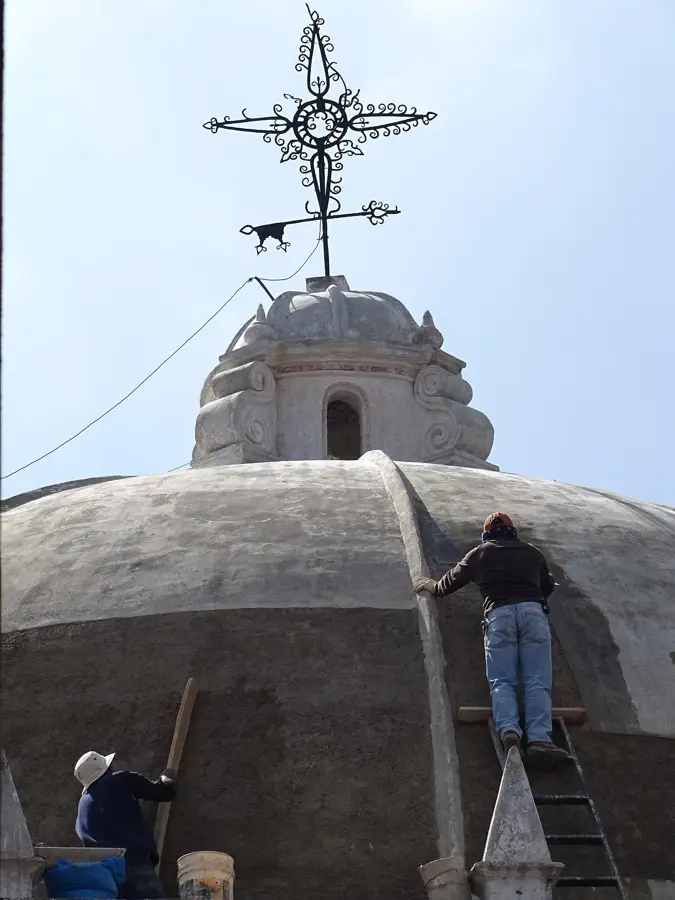
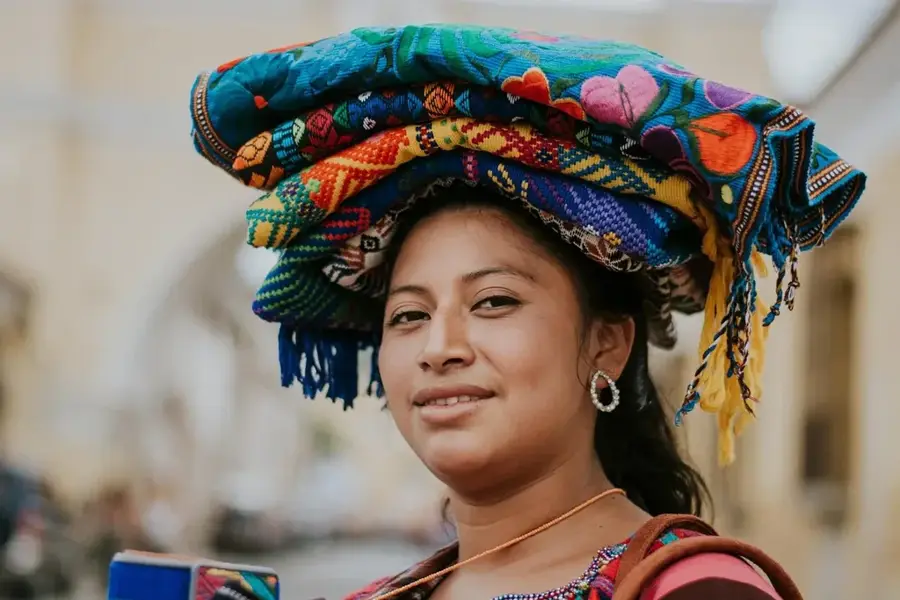
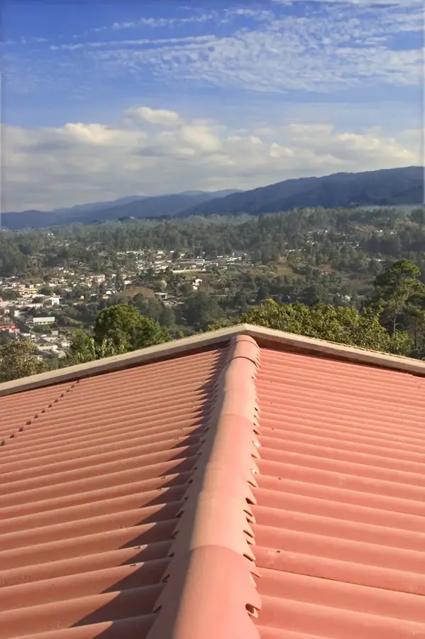
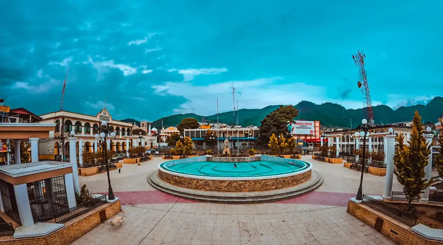
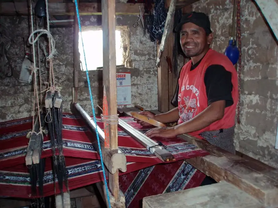
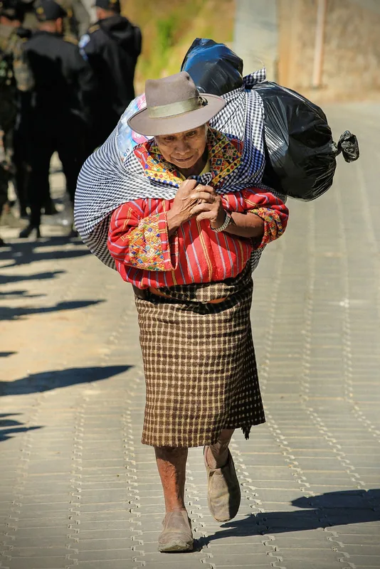
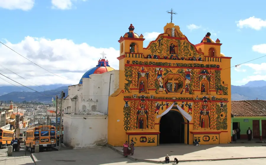
Momostenango is located in the Totonicapán Department and is globally recognized for its deep-rooted Maya culture and exceptional craftsmanship. The city is a major spiritual center for the K'iche' people, where the traditional 260-day Maya calendar (Tzolkin) is still consulted by spiritual leaders for ceremonial purposes. Geographically, the area is famous for 'Los Riscos', spectacular sandstone formations shaped by centuries of erosion that give the landscape a surreal appearance. The economy of Momostenango has traditionally revolved around the production of heavy wool blankets, known as 'chamarras', woven on traditional foot looms. Historically, the city was a significant administrative hub for the K'iche' kingdom prior to the Spanish arrival. The climate is cool and dry, which is perfectly suited for processing locally sourced sheep wool. Cultural highlights include spiritual rituals performed at sacred altars around the town, often synchronized with the Mayan calendar cycles. While the town's architecture is simple, its social fabric is characterized by a strong communal identity and active religious brotherhoods.
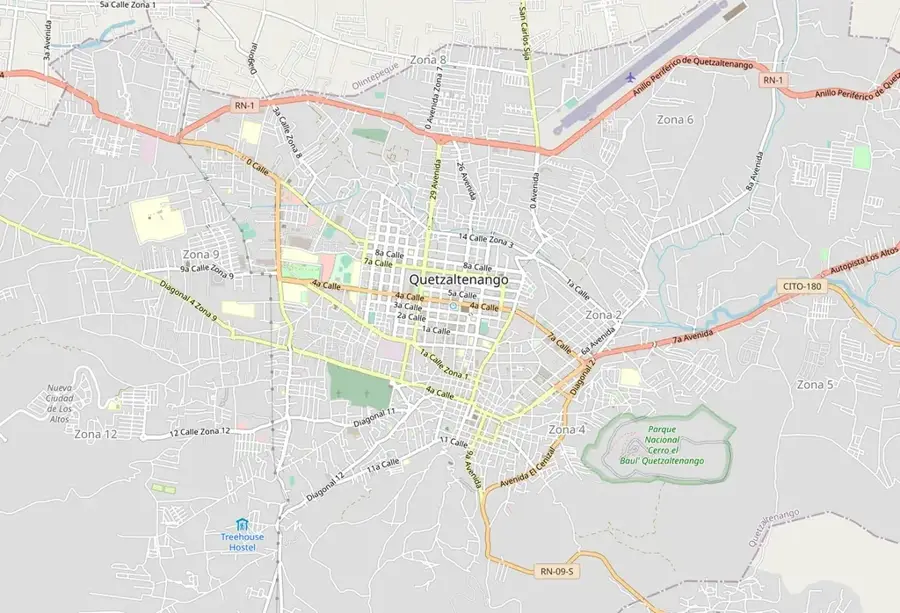
- Location: Guatemala
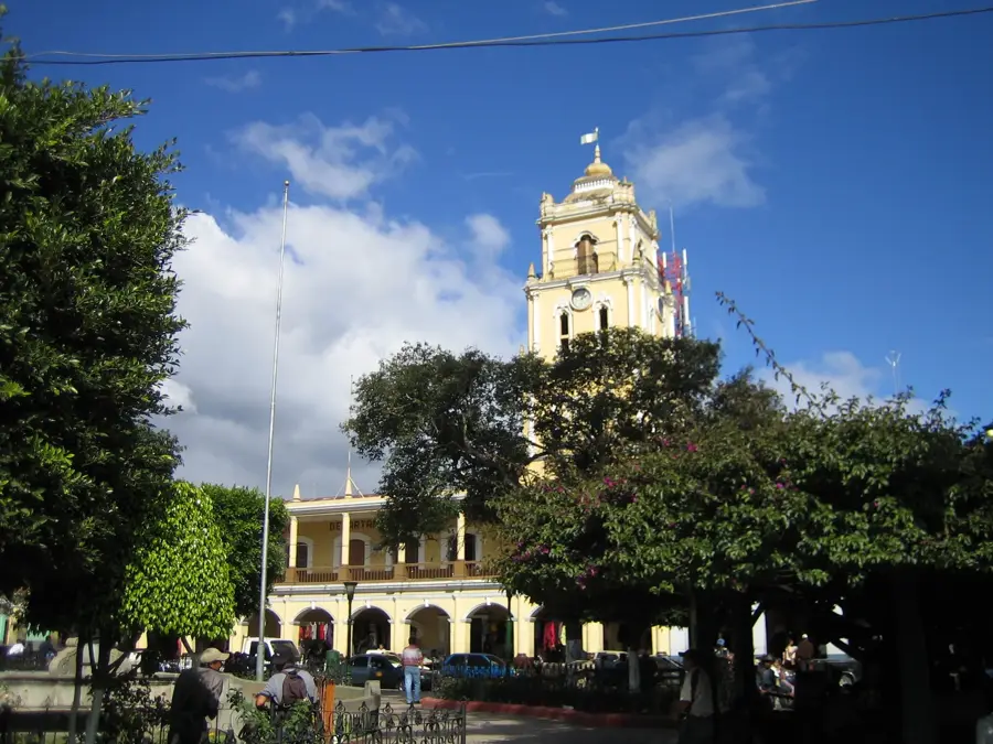
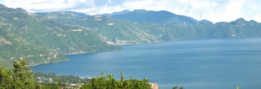
- Top sights: Municipalidad de Momostenango · Parque nacional Riscos de Momostenango · Centro Recreativo Pala Chiquito
- Nearby: Cantel (5 km)
- Population: ~31.739 (2020)
Best time to visit & climate
The most pleasant time to visit is Feb–Apr.
| Jan | Feb | Mar | Apr | May | Jun | Jul | Aug | Sep | Oct | Nov | Dec | |
|---|---|---|---|---|---|---|---|---|---|---|---|---|
| Avg °C | 13 | 14 | 16 | 17 | 17 | 16 | 16 | 16 | 16 | 16 | 14 | 14 |
| Rain mm | 6 | 7 | 22 | 63 | 217 | 315 | 226 | 289 | 353 | 291 | 58 | 10 |
Geography
Facts
- Center for the continued use of the Tzolkin calendar.
- Located within the Totonicapán Department.
- Famous for the 'Los Riscos' sandstone formations.
- Primary producer of traditional wool 'chamarras'.
- Significant spiritual hub for the K'iche' Maya.
- Cool highland climate at over 2,200 meters elevation.
Explore nearby
Notable places around
Route planner — Car & Motorhome
Where do you start? We build the route here, with stops and country notes along the way.
© OpenStreetMap contributors · OpenRouteService
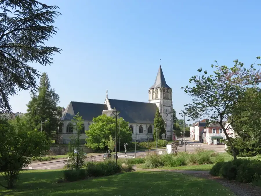
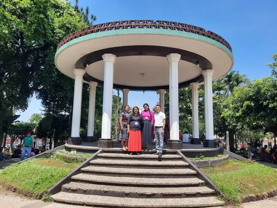
Sights in the town Momostenango (3)
Frequently asked questions
What are the 'Riscos de Momostenango'?
What handicraft is Momostenango famous for?
Is the city a Maya religious center?
What is the weather like in Momostenango?
When does the market take place?
Momostenango: where is it located?
Momostenango: what is there to see?
Momostenango: when is the best time to visit?
Momostenango: why is it worth visiting?

Nearby cities

History & landmarks

Nature
More places