Plizio Visual Lab
Huehuetenango
ℹ️Practical info — Huehuetenango
▾
🌤 Weather — 5 days
📍 Nearby
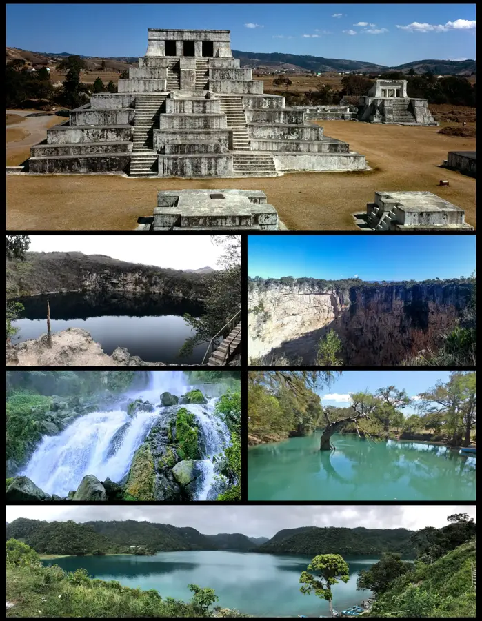
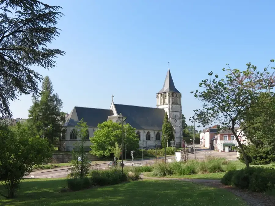
Sights nearby
💡 Tips
- The nearby Zaculeu ruins are much less crowded than Tikal; morning is the best time for cooler weather.
- The city is a major coffee hub; look for direct-trade local coffee at cafes around the main square.
- Due to the altitude, evenings get quite cool, so bring layers.
- "Chicken buses" to surrounding mountain villages leave from the bustling main terminal; keep a close eye on your belongings.
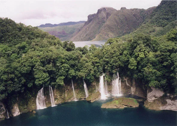
- Take a day trip to the striking Cenotes de Candelaria or Laguna Magdalena.
🍽 Food
The region is world-renowned for its coffee. Enjoy a cup at the cozy coffee shops surrounding the Parque Central.
Local small tamales. You can easily find them at street stalls around the central market.
A distinctive local sausage specialty, often served at traditional modest diners.
🛍 Shopping · 🧘 Quiet spots
A lively daily market, good for fresh produce and observing authentic everyday life.
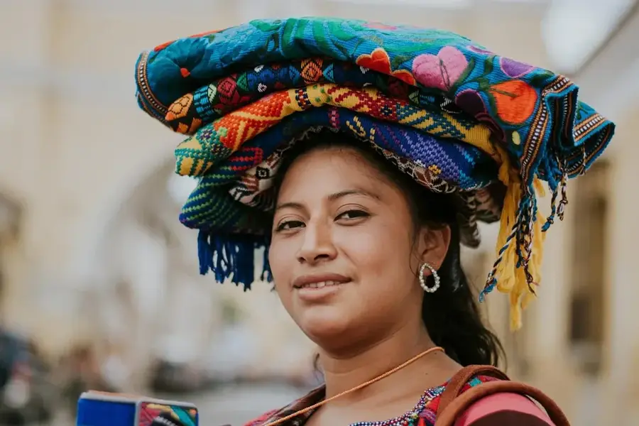
Look around the city center for beautiful traditional textiles sourced from surrounding Maya villages.
The restored white temples are surrounded by peaceful grassy areas, away from the city noise.
Relax on a bench in the early evening and quietly watch local life unfold.
Water temperature…
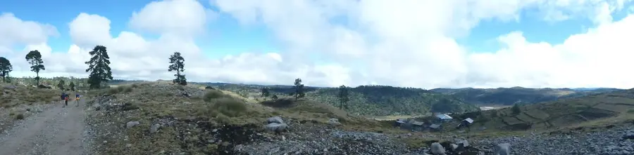
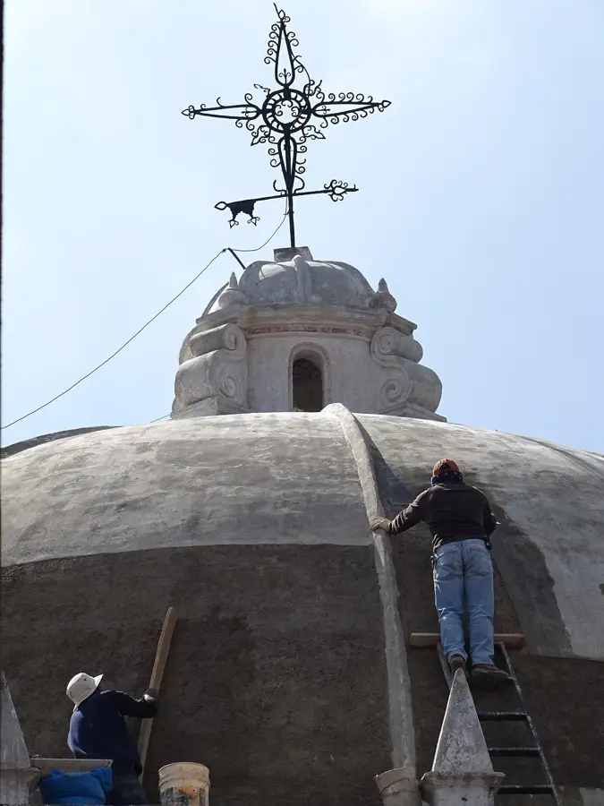
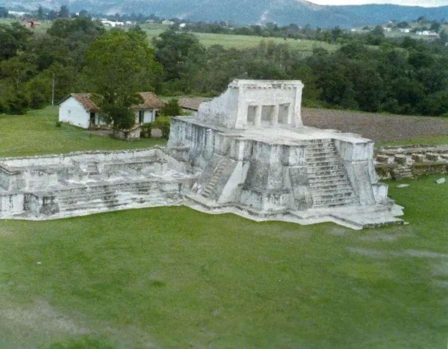
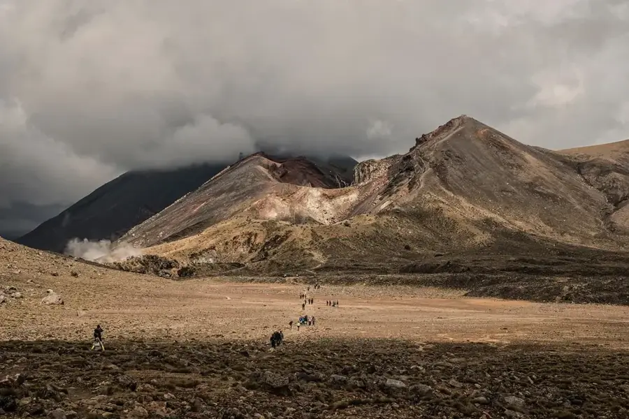
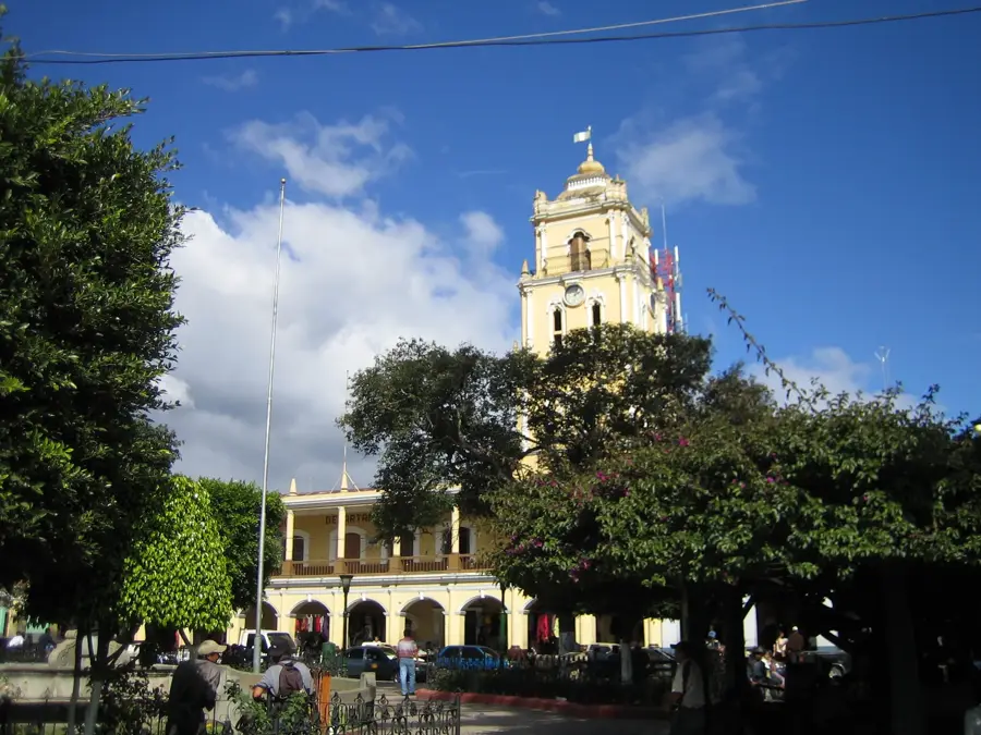
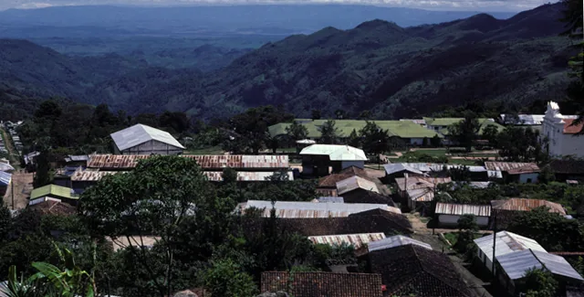
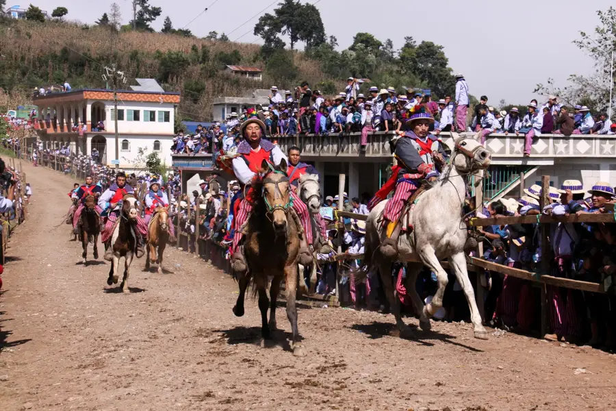
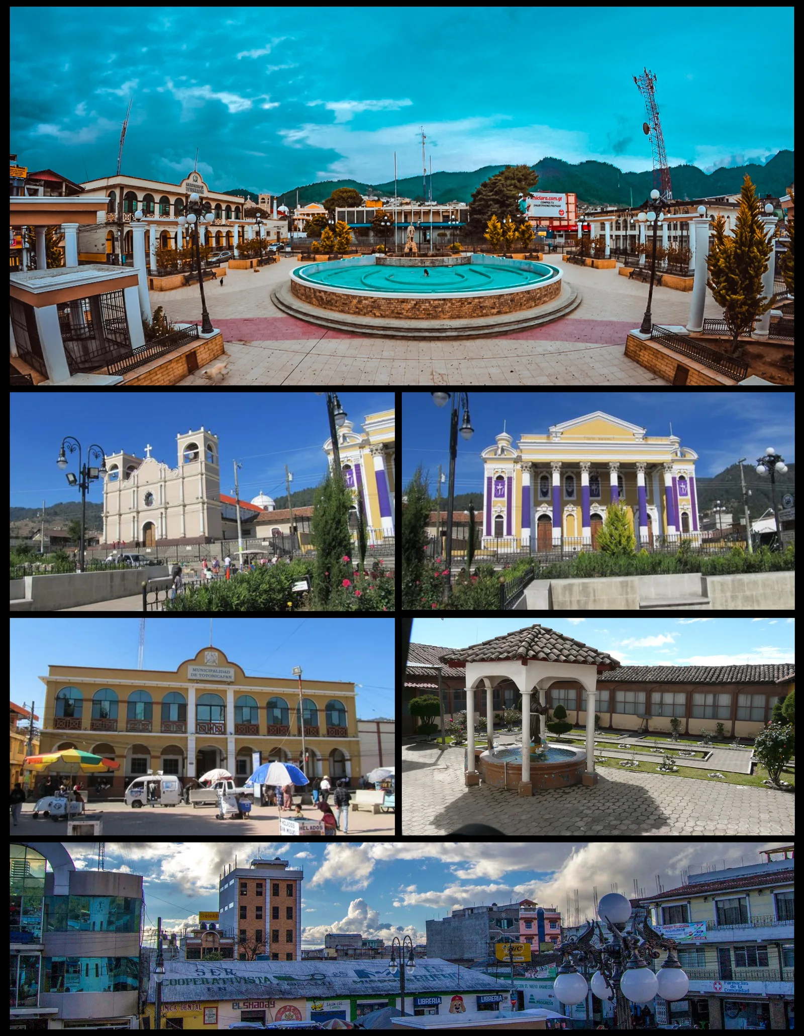
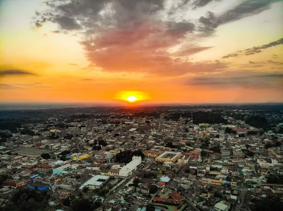
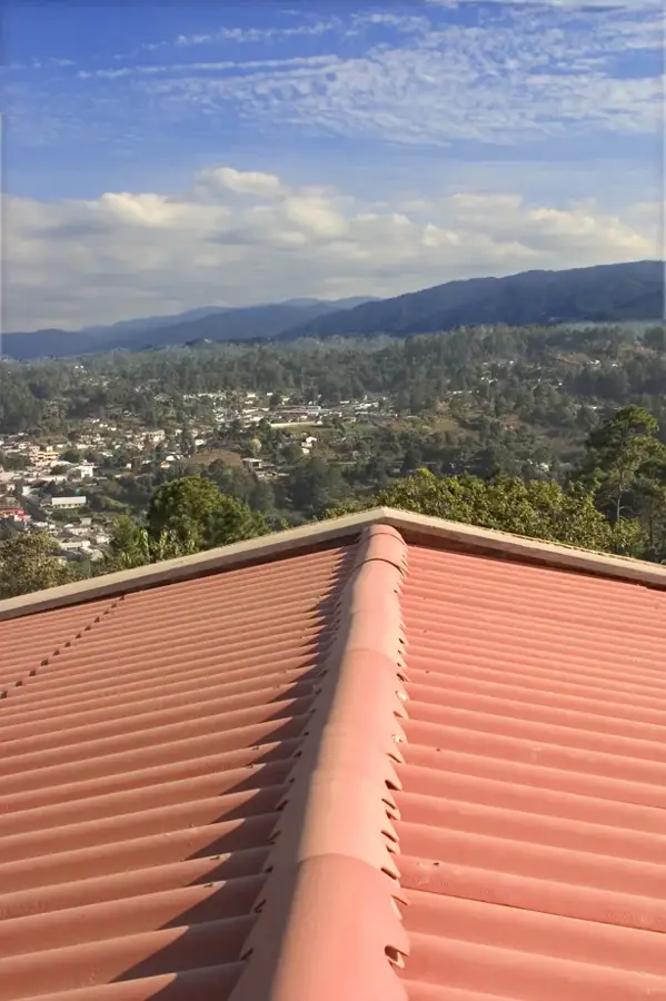
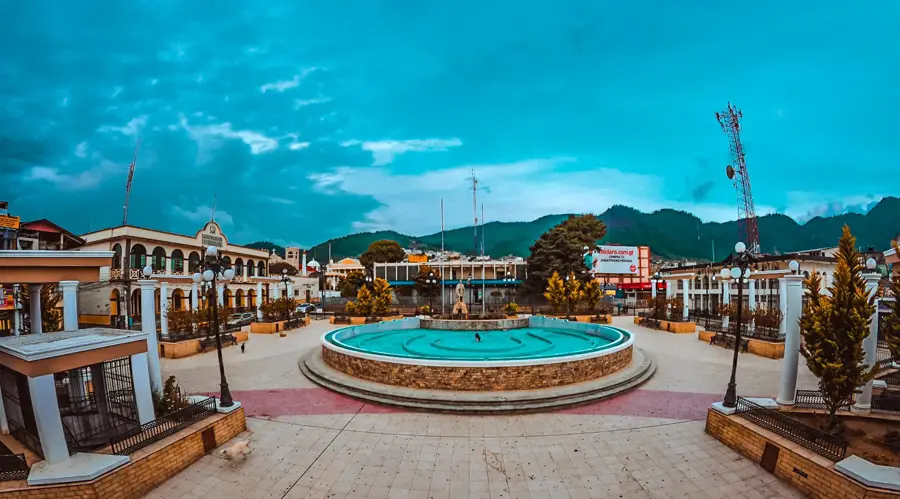
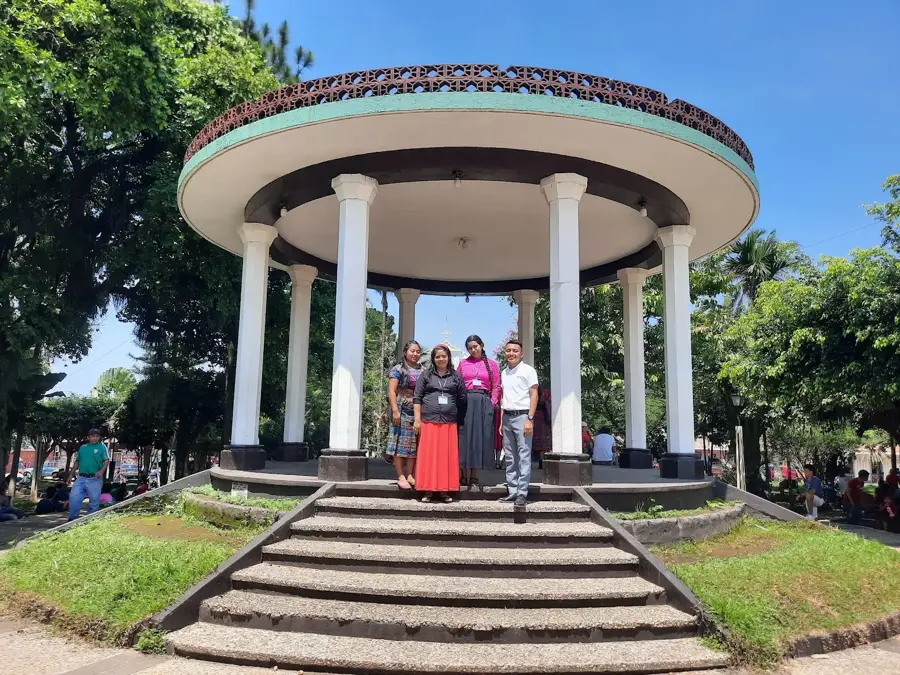
Huehuetenango, located in the western highlands of Guatemala, is a city defined by its dramatic mountain backdrop and deep indigenous roots. Situated at the foot of the Cuchumatanes Mountains, the highest non-volcanic range in Central America, the city serves as the capital of the department that shares its name. Its historical significance is anchored by the nearby ruins of Zaculeu, the ancient stronghold of the Mam Maya. The conquest of Zaculeu by Spanish forces in 1525 marked a pivotal moment in the region's history, and today the restored white-stuccoed temples are a major cultural draw. Modern 'Huehue,' as it is affectionately known, is a bustling trade and transit hub due to its proximity to the Mexican border at La Mesilla. The local economy is world-renowned for its coffee production; the high altitude and specific climate conditions produce some of the finest beans exported from Guatemala. Culturally, the city is a lively tapestry where Mam heritage meets contemporary Guatemalan life. The central plaza, with its neoclassical cathedral and municipal buildings, is the heart of social life. Huehuetenango is the ultimate jumping-off point for explorers heading into the remote Cuchumatanes plateau, offering access to high-altitude landscapes and unique flora. The city's fairs and religious processions, particularly during the September independence celebrations and the July festival, showcase traditional music, including the marimba, which has a strong presence here. With its cool highlands air and authentic atmosphere, Huehuetenango remains one of the most culturally significant and geographically striking cities in the Maya world.
- Location: Guatemala
- Top sights: Diocese of Huehuetenango · Huehuetenango Department · Kaibil Balam Stadium
- Nearby: San Cristóbal Totonicapán (5 km)
- Population: ~79.426 (2025)
Best time to visit & climate
The most pleasant time to visit is Feb–Apr.
| Jan | Feb | Mar | Apr | May | Jun | Jul | Aug | Sep | Oct | Nov | Dec | |
|---|---|---|---|---|---|---|---|---|---|---|---|---|
| Avg °C | 14 | 15 | 17 | 19 | 19 | 18 | 17 | 17 | 17 | 17 | 15 | 14 |
| Rain mm | 12 | 9 | 20 | 46 | 165 | 279 | 189 | 258 | 321 | 232 | 50 | 15 |
Live webcam – Huehuetenango
See what it looks like near Huehuetenango right now.
Huehuetenango › North-east · 3.3 km · Open webcam on Windy · Webcams provided by Windy.com
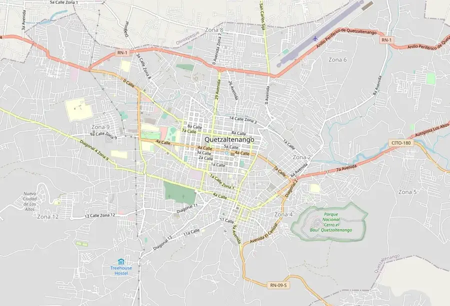
Geography
Facts
- The city’s climate is classified as subtropical highland (Cwb).
- Zaculeu ruins are unique for their smooth, white plaster coating.
- The Sierra de los Cuchumatanes contains diverse alpine tundra ecosystems.
- Coffee from this region is famous for its bright acidity and fruity notes.
- The city is a major staging point for NGOs working in the highlands.
- The population of the metropolitan area is over 150,000.
- Spanish general Gonzalo de Alvarado led the siege of Zaculeu in 1525.
- Marimba music is the soundtrack to almost every local celebration.
Explore nearby
Notable places around
Route planner — Car & Motorhome
Where do you start? We build the route here, with stops and country notes along the way.
© OpenStreetMap contributors · OpenRouteService
Sights in the town Huehuetenango (3)
Frequently asked questions
What is the best time to visit Huehuetenango?
What local specialty should you try?
What is the main attraction nearby?
How many days should you plan for a visit?
Is the city safe for tourists?
Huehuetenango: where is it located?
Huehuetenango: what is there to see?
Huehuetenango: when is the best time to visit?
Huehuetenango: why is it worth visiting?

Nearby cities


History & landmarks
Nature
More places