Plizio Visual Lab
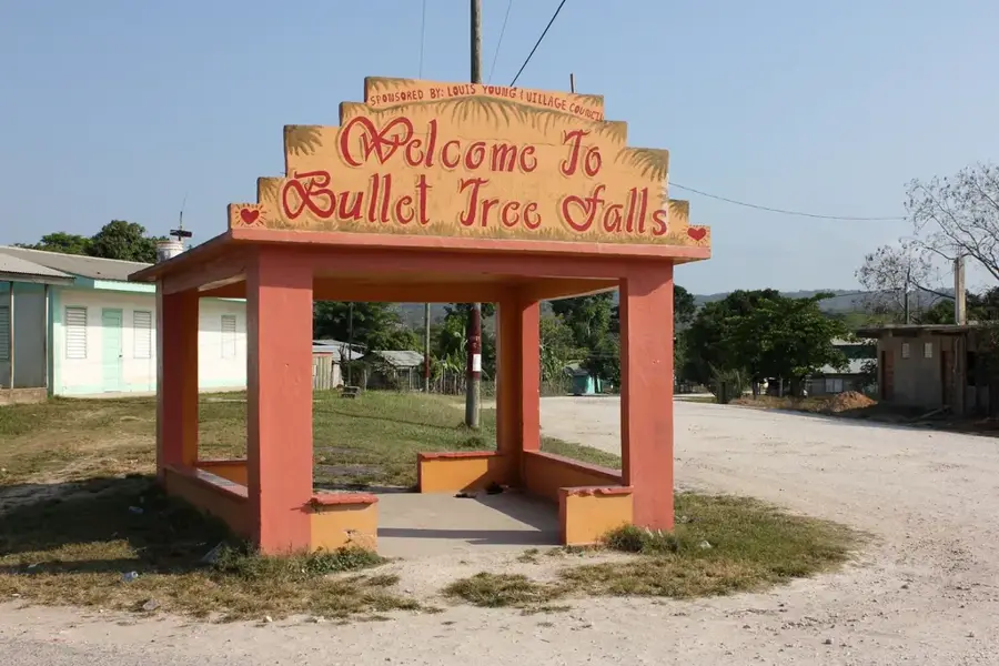
Cristo Rey (Cayo)

ℹ️Practical info — Cristo Rey (Cayo)
▾
🌤 Weather — 5 days
📍 Nearby
Sights nearby
💡 Tips
- This is an excellent, quiet alternative to the bustle of San Ignacio, keeping the same access to the caves and ruins.
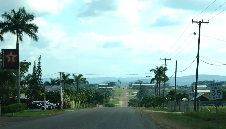
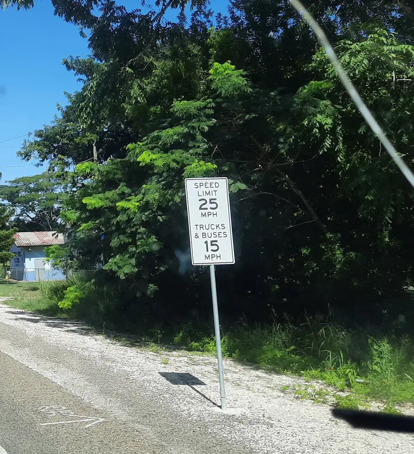
- The road to San Ignacio can be quite bumpy; a robust vehicle makes the trips much more comfortable.
- Bring water shoes, as the rocky bottom of the Macal River can be slippery when you go swimming.
- The region is a birdwatcher's paradise. Take binoculars with you on your morning walks.
🍽 Food
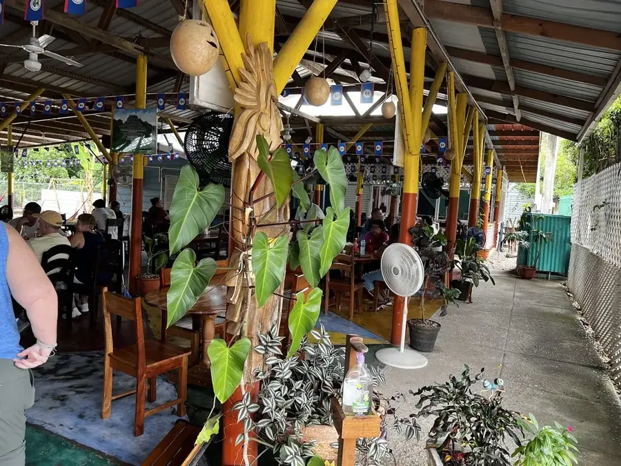
The classic Belizean dish. Grab a portion at the small roadside eateries along the main thoroughfare.
Deep-fried dough, often served for breakfast. Try them in the family-run kitchens in the village.
Buy papayas and bananas at the small fruit stands directly from the locals.
🛍 Shopping · 🧘 Quiet spots
Some families in the village sell their own hot sauces and pickled vegetables from their homes.
For snacks and water, support the local small village shop. For major grocery runs, head into San Ignacio.
Find a quiet spot by the river for a refreshing swim or for a relaxing tube float.
A small, peaceful waterfall nearby where there are far fewer tourists than at other popular falls.
Water temperature…
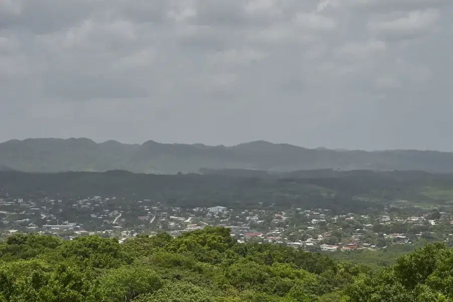
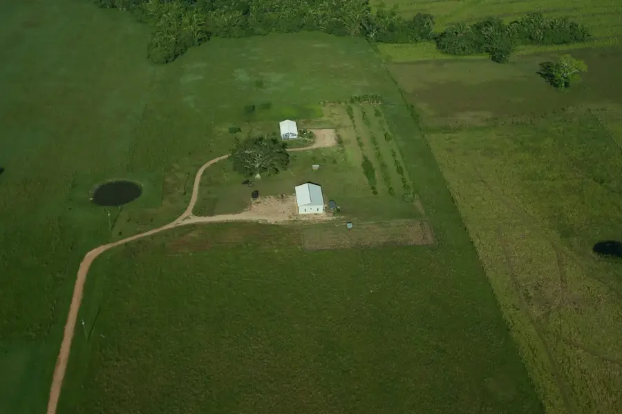
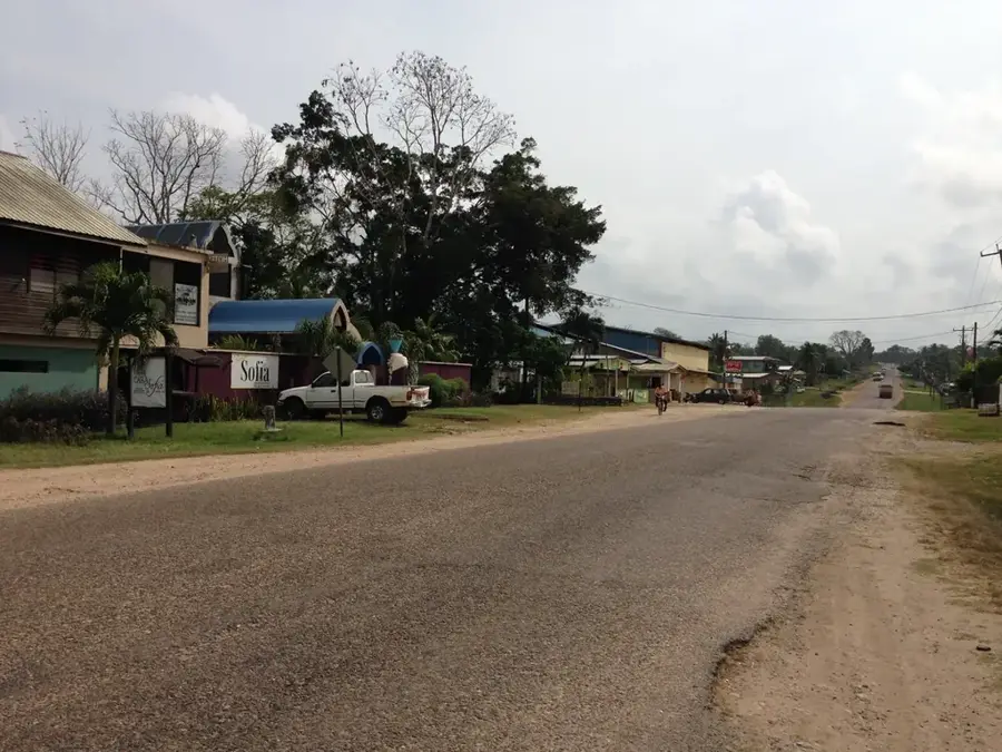
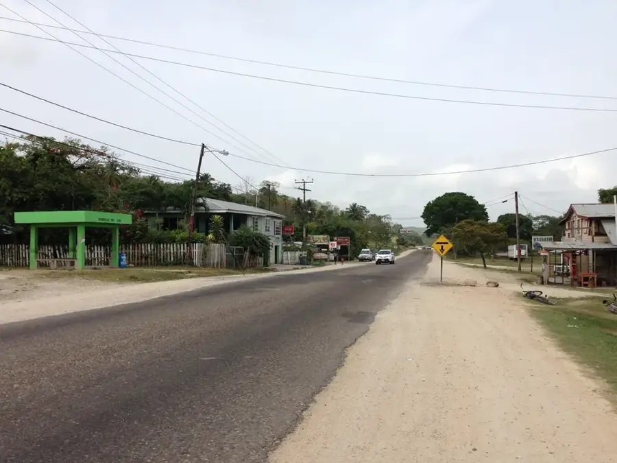
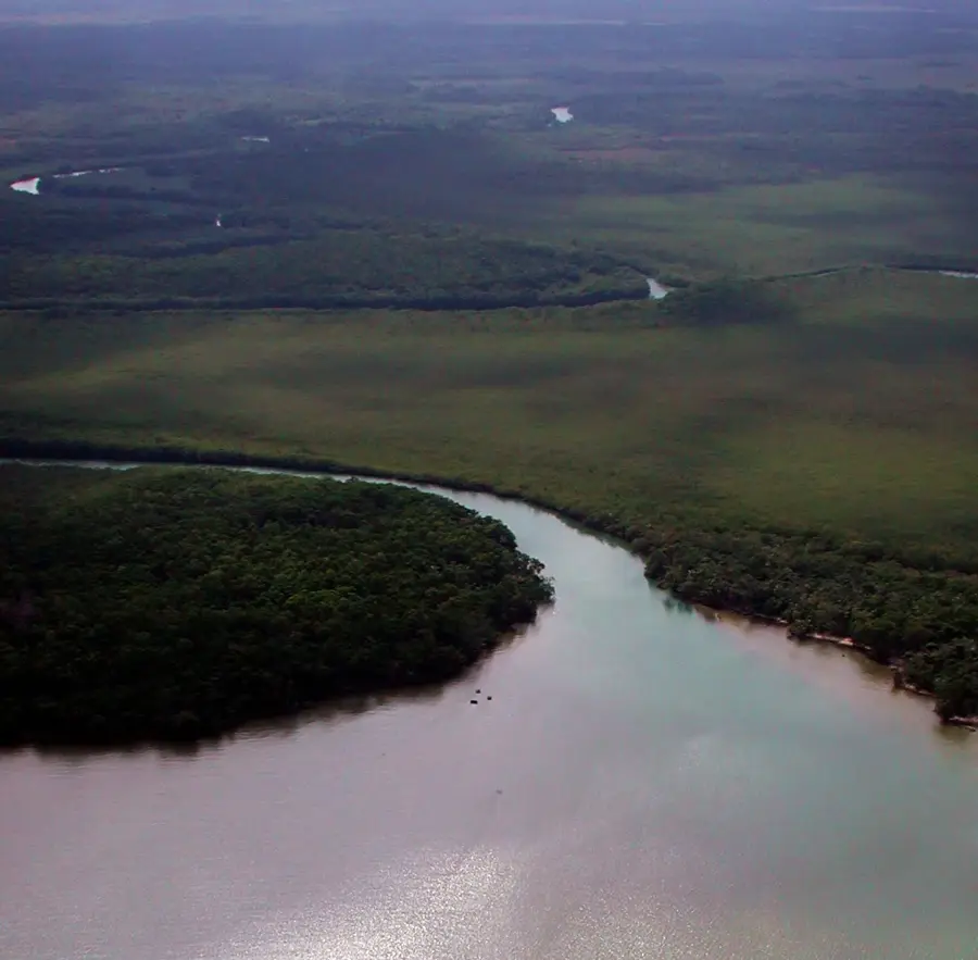
Cristo Rey is a scenic village located in the Cayo District of western Belize, just a few kilometers away from the town of San Ignacio. The community was settled in the early 20th century by Mestizo families who primarily engaged in agriculture and logging activities. Its geographical location along the banks of the Macal River shapes daily life, providing fertile land for the cultivation of vegetables and citrus fruits. Today, Cristo Rey serves as an essential gateway to the Mountain Pine Ridge Forest Reserve, one of the country's most ecologically valuable regions. The population has grown to over 900 residents in recent years, with tourism playing an increasingly significant role in the local economy. Visitors often use the village as a base for excursions to nearby waterfalls and limestone caves in the surrounding area. Despite being close to the busy commercial hub of San Ignacio, Cristo Rey has maintained a quiet, rural atmosphere where community values remain paramount. Infrastructure improvements, particularly paved roads, have significantly eased commuting and transportation for the local residents.
- Location: Belize
- Nearby: Santa Rosa (Toledo) (4 km)
- Population: ~2.738 (2025)
Best time to visit & climate
The most pleasant time to visit is Jan–Mar.
| Jan | Feb | Mar | Apr | May | Jun | Jul | Aug | Sep | Oct | Nov | Dec | |
|---|---|---|---|---|---|---|---|---|---|---|---|---|
| Avg °C | 21 | 22 | 24 | 26 | 26 | 25 | 25 | 25 | 25 | 24 | 22 | 22 |
| Rain mm | 110 | 66 | 58 | 40 | 127 | 240 | 175 | 197 | 225 | 251 | 200 | 137 |
Geography
Facts
- Cristo Rey is situated on the banks of the Macal River in Cayo.
- The village is located approximately 6 kilometers south of San Ignacio.
- It was settled by Mestizo families in the early 1900s.
- The community is a main access point for the Mountain Pine Ridge.
- Local livelihoods depend on livestock farming and eco-tourism.
- The population of Cristo Rey is estimated at around 900 residents.
Explore nearby
Notable places around
Route planner — Car & Motorhome
Where do you start? We build the route here, with stops and country notes along the way.
© OpenStreetMap contributors · OpenRouteService
Frequently asked questions
Why is Cristo Rey popular with tourists?
Are there waterfalls there?
Can you go canoeing there?
What types of accommodation are there?
Is the road to Cristo Rey good?
Cristo Rey (Cayo): where is it located?
Cristo Rey (Cayo): when is the best time to visit?
Cristo Rey (Cayo): why is it worth visiting?

Nearby cities