Plizio Visual Lab
Mountain Pine Ridge Forest Reserve
Weather…
Water temperature…
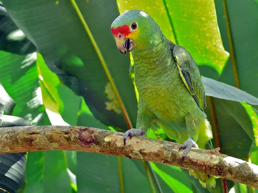
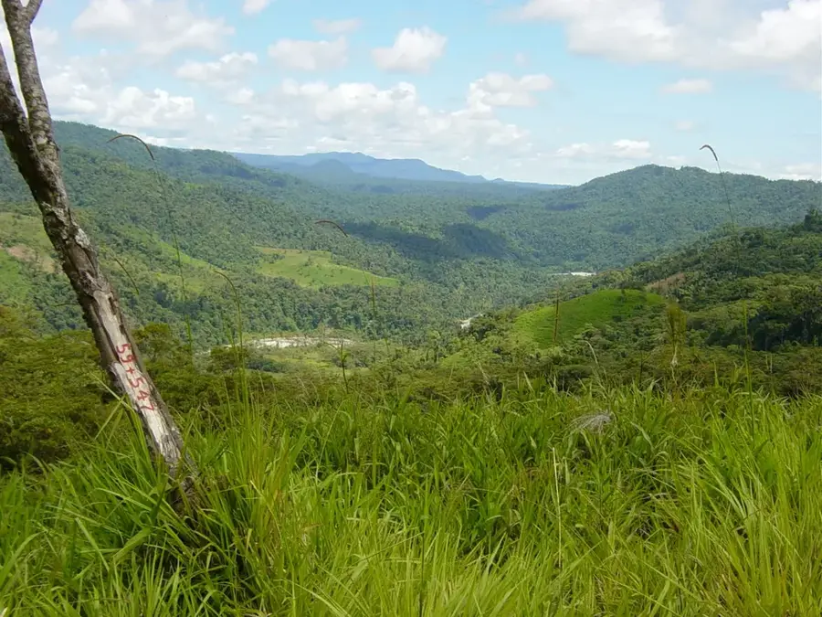
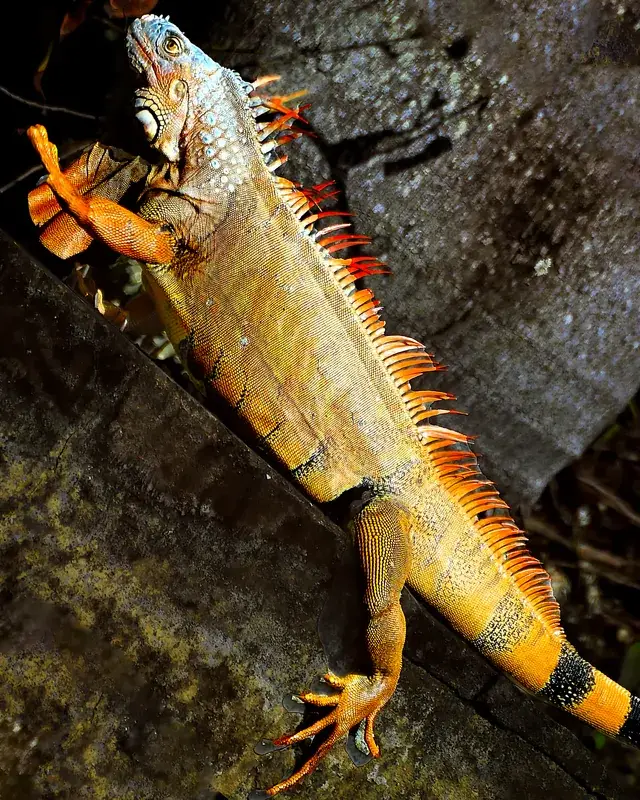
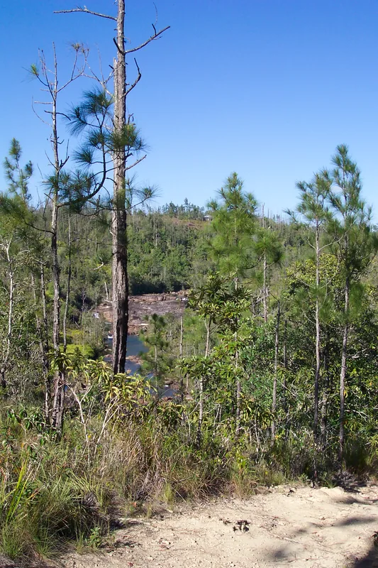
The Mountain Pine Ridge Forest Reserve is the oldest and largest protected forest area in Belize, covering approximately 430 square kilometers. Geologically, this region differs significantly from the rest of the country as it sits upon a massive granite plateau dating back over 300 million years. The landscape is characterized by expansive savannas of Caribbean Pine (Pinus caribaea), interspersed with deep river valleys and spectacular waterfalls. Notable features include the 1000 Foot Falls, the highest waterfall in Central America, and the massive Rio Frio Cave. The reserve provides sanctuary for numerous endangered species, including the jaguar, cougar, and the rare orange-breasted falcon. Since its official establishment in 1944, the area has served the dual purposes of sustainable timber management and environmental conservation. The cooler temperatures associated with its higher elevations create a unique microclimate that stands in contrast to Belize's tropical lowlands.
- Location: Belize
- Top sights: Barton Creek Cave · Upper Barton Creek
- Nearby: San Roman (Cayo) (4 km)
Best time to visit & climate
The most pleasant time to visit is Jan–Mar.
| Jan | Feb | Mar | Apr | May | Jun | Jul | Aug | Sep | Oct | Nov | Dec | |
|---|---|---|---|---|---|---|---|---|---|---|---|---|
| Avg °C | 21 | 22 | 24 | 26 | 26 | 25 | 25 | 25 | 25 | 24 | 22 | 22 |
| Rain mm | 110 | 66 | 58 | 40 | 127 | 240 | 175 | 197 | 225 | 251 | 200 | 137 |
📋 Practical info
Geography
Facts
- The reserve was established in October 1944 under British colonial administration.
- The highest elevation within the reserve reaches approximately 1,000 meters above sea level.
- In 2001, a massive pine bark beetle infestation decimated large portions of the forest.
- Despite its name, 1000 Foot Falls is actually about 1,600 feet (488 meters) high.
- The area is one of the few Central American regions where Pinus caribaea occurs naturally.
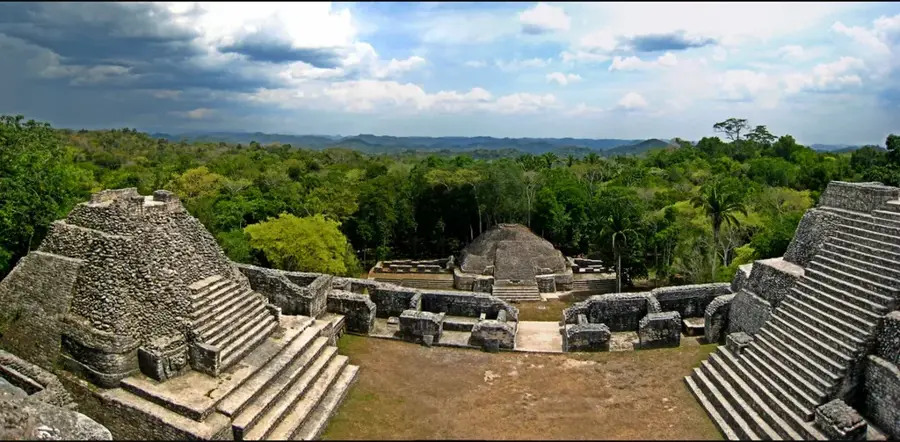
- Archaeological evidence indicates Maya presence in these highlands since the Pre-Classic period.
Explore nearby
Notable places around
Route planner — Car & Motorhome
Where do you start? We build the route here, with stops and country notes along the way.
© OpenStreetMap contributors · OpenRouteService
Sights in the town Mountain Pine Ridge Forest Reserve (2)
Sights nearby
Frequently asked questions
What are the highlights of Mountain Pine Ridge?
Do you need a 4x4 vehicle?
Are there gas stations there?
Can you camp in the park?
Is there cell phone reception?
Mountain Pine Ridge Forest Reserve: where is it located?
Mountain Pine Ridge Forest Reserve: what is there to see?
Mountain Pine Ridge Forest Reserve: when is the best time to visit?
Mountain Pine Ridge Forest Reserve: why is it worth visiting?

More places