Plizio Visual Lab
Tolimán Volcano
Weather…
Water temperature…
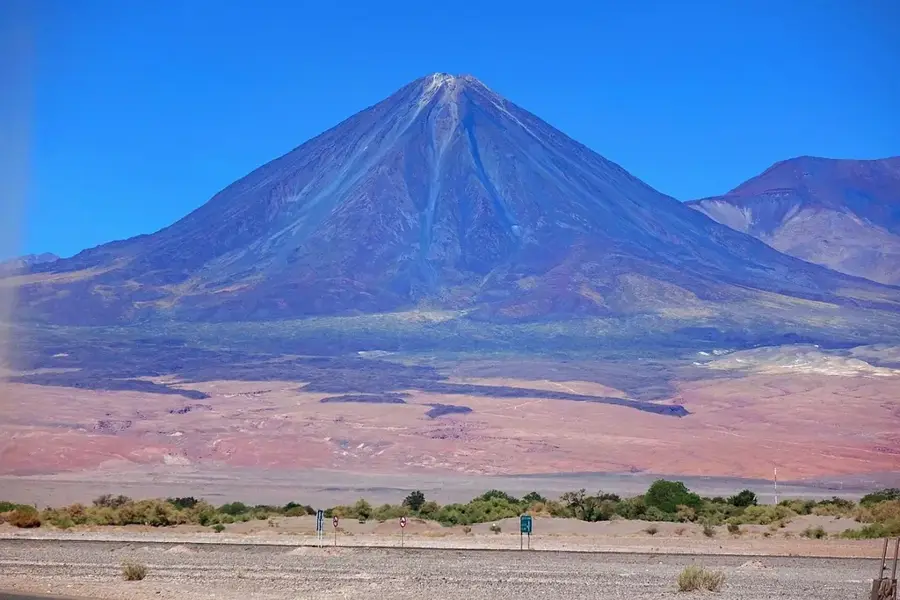
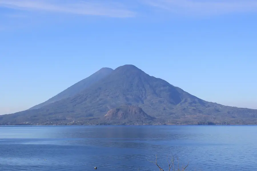
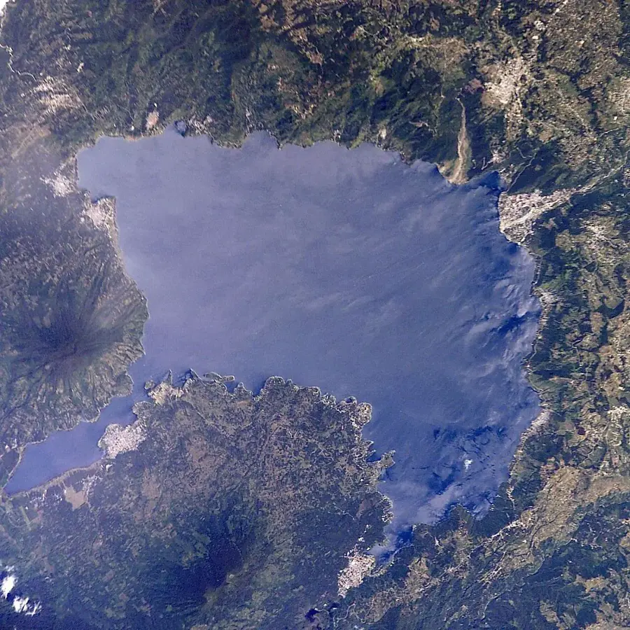
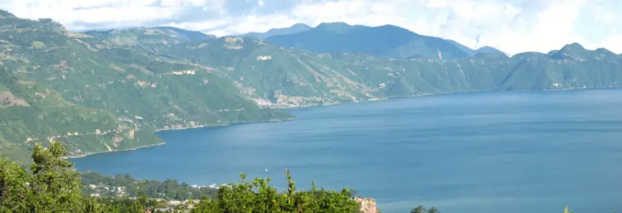
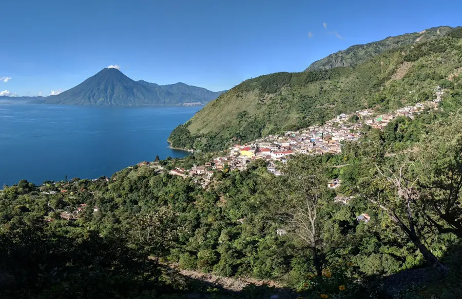
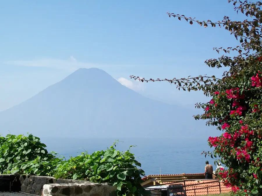
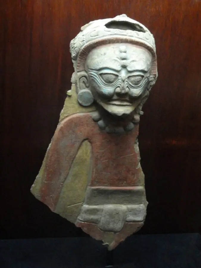
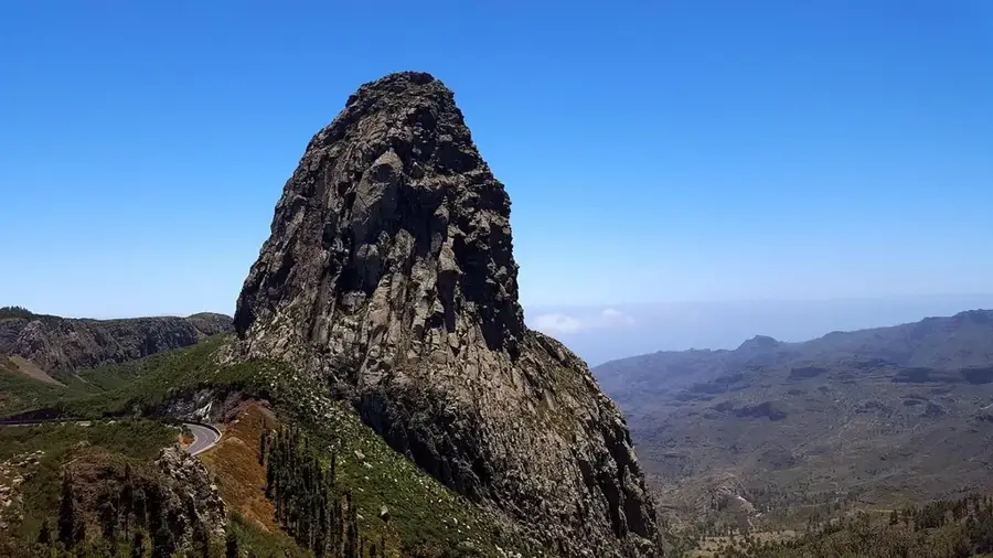
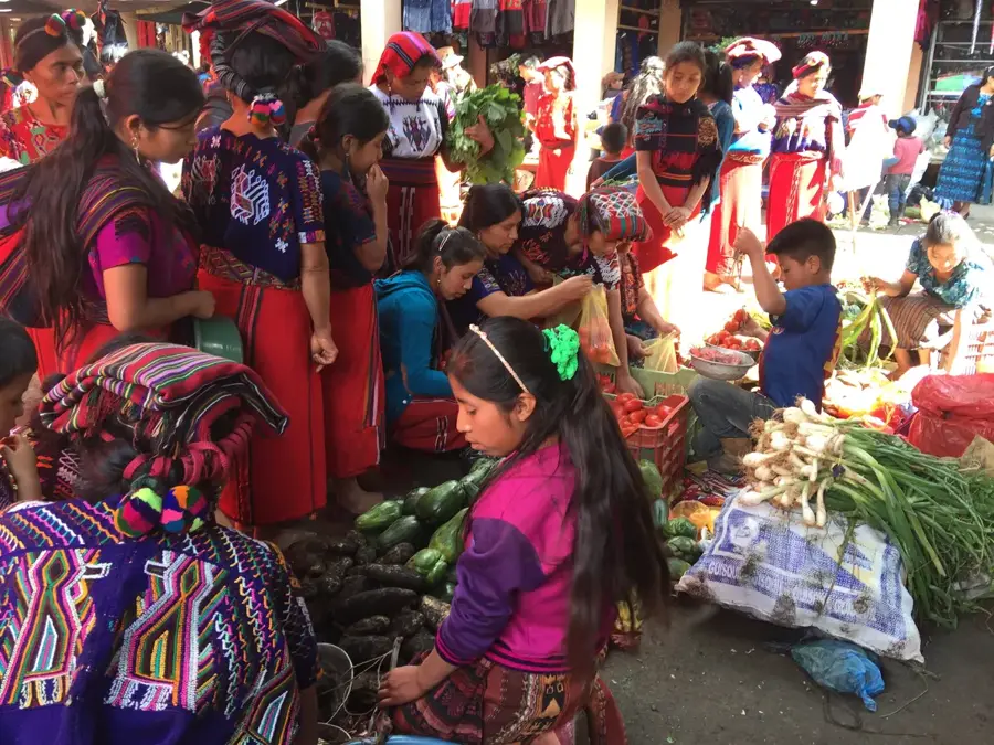
Tolimán Volcano is a prominent stratovolcano located on the southern shore of Lake Atitlán in the department of Sololá. Standing at 3,158 meters, it is one of the three defining volcanoes that enclose the lake's basin. Tolimán is distinguished by its two distinct peaks, with the main northern cone and a smaller southern cone dominating its profile. Geologically, the volcano belongs to the Atitlán caldera and was formed after the massive eruptions about 84,000 years ago. Although there are no confirmed historical eruptions, the volcano is classified as potentially active based on its geological structure. Its slopes are covered with dense forest that provides important sanctuaries for endangered animal species like the Horned Guan (Oreophasis derbianus). For the local Tz'utujil Maya population, the mountain holds great mythological significance and is often associated with legends regarding the lake's formation.
- Location: Guatemala
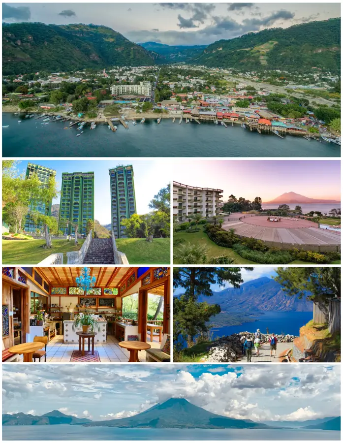
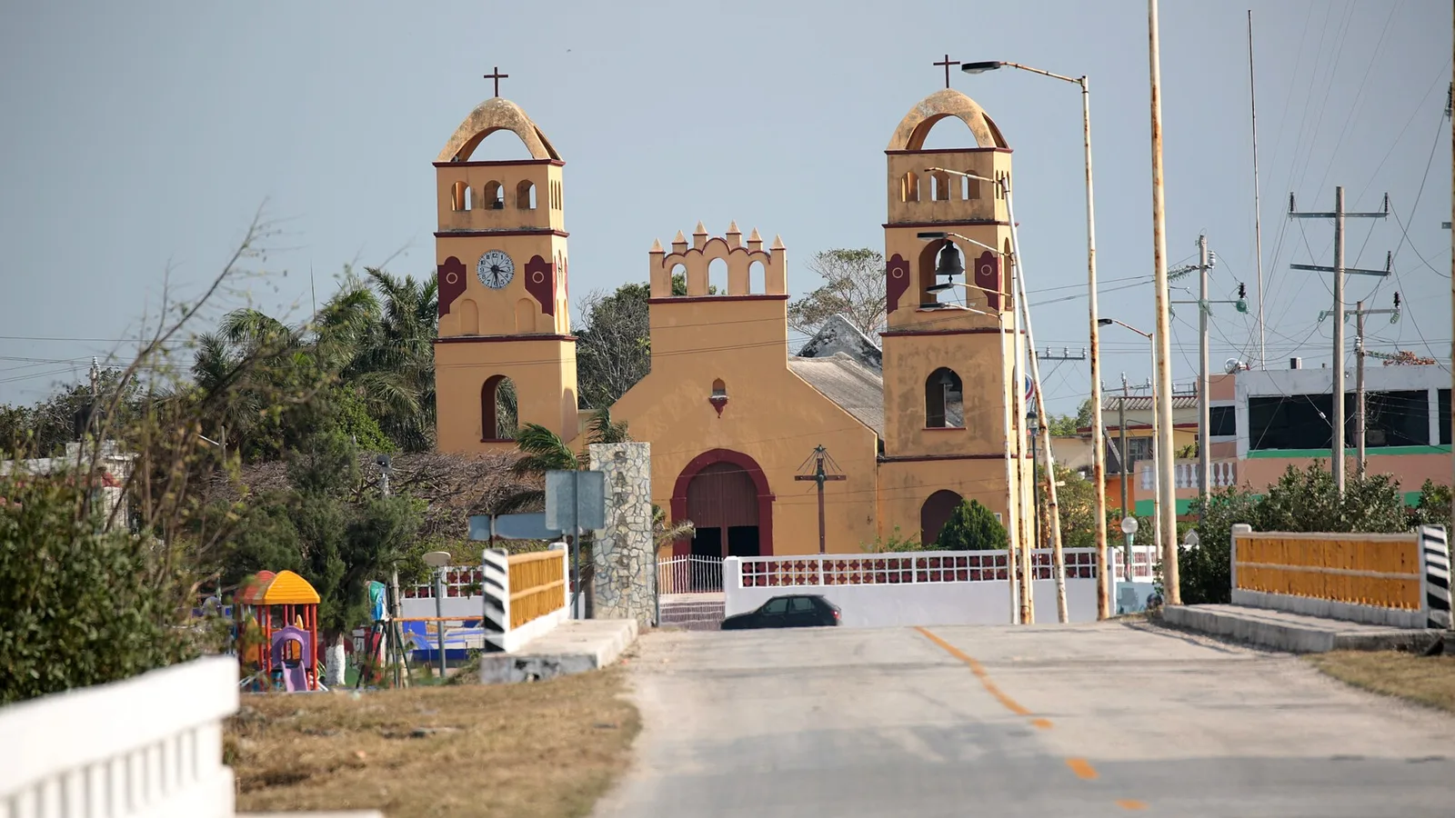
- Nearby: Santiago Atitlán (4 km)
Best time to visit & climate
The most pleasant time to visit is Jan, Feb, Dec.
| Jan | Feb | Mar | Apr | May | Jun | Jul | Aug | Sep | Oct | Nov | Dec | |
|---|---|---|---|---|---|---|---|---|---|---|---|---|
| Avg °C | 21 | 22 | 23 | 24 | 24 | 23 | 23 | 23 | 22 | 22 | 21 | 21 |
| Rain mm | 4 | 6 | 18 | 64 | 231 | 317 | 234 | 292 | 346 | 302 | 61 | 8 |
📋 Practical info
Geography
Facts
- Summit elevation of 3,158 meters
- Features two distinct volcanic cones
- Formed after the Atitlán eruption 84,000 years ago
- Potentially active Holocene volcano
- Habitat for the rare Horned Guan
- Sacred mountain for the Tz'utujil Maya
Explore nearby
Notable places around
Route planner — Car & Motorhome
Where do you start? We build the route here, with stops and country notes along the way.
© OpenStreetMap contributors · OpenRouteService
Sights in the town Tolimán Volcano (1)
Sights nearby
Frequently asked questions
How difficult is the climb to Tolimán Vulkan?
Is a local guide required?
What is the best time to visit?
Is there parking nearby?
Are there toilets on the volcano?
Tolimán Volcano: where is it located?
Tolimán Volcano: when is the best time to visit?
Tolimán Volcano: why is it worth visiting?

Nearby cities


History & landmarks

Nature
More places