Plizio Visual Lab
Siquinalá
ℹ️Practical info — Siquinalá
▾
🌤 Weather — 5 days
📍 Nearby
Sights nearby
💡 Tips
- The town is extremely hot year-round; plan outdoor activities for the early morning.
- It is a busy agricultural hub surrounded by sugarcane plantations; watch out for heavy truck traffic on the main road.
- Keep hydrated by trying the local fresh coconut water sold by roadside vendors.
- It is mainly a transit town on the Pacific Highway (CA-2), useful for brief stops and refueling.
🍽 Food
Look for roadside grill stands serving grilled beef with beans and tortillas.
Sold straight from the coconut by vendors along the main highway to help you cool down.
Buy fresh pineapple and mango from local stalls to beat the heat.
🛍 Shopping · 🧘 Quiet spots
The best place to buy fresh, locally harvested agricultural products.
Small convenience stores (tiendas) along the highway offer basic snacks and drinks.
The rural roads leading away from the highway offer quiet views of the endless plantations.
A small, shaded plaza to rest for a few minutes away from the highway traffic.
Water temperature…
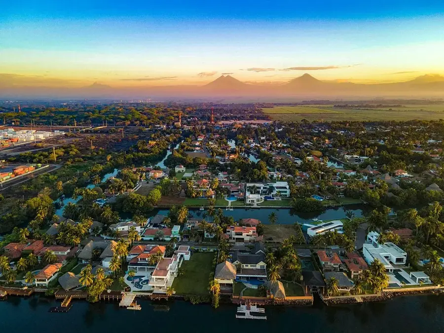
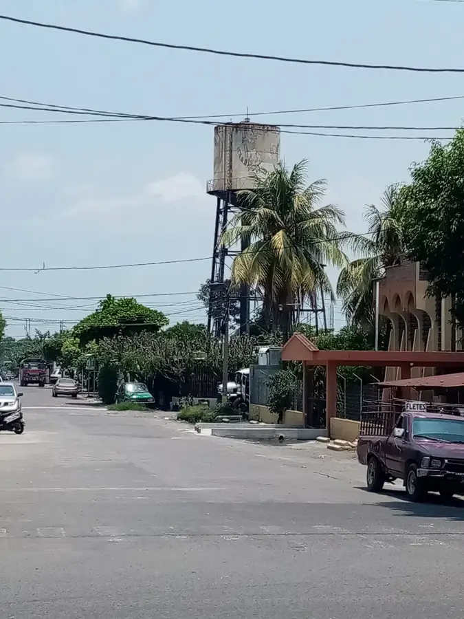
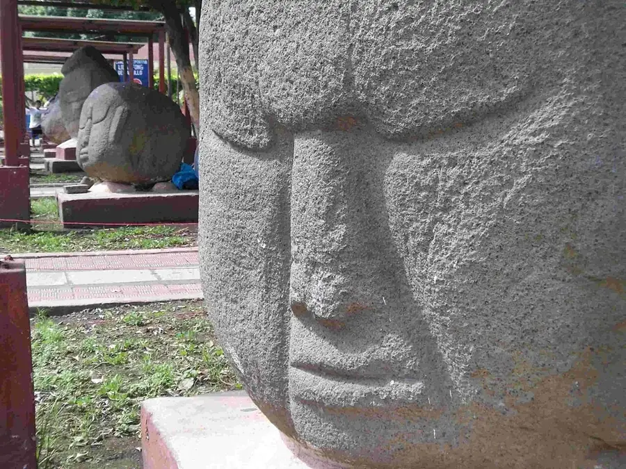
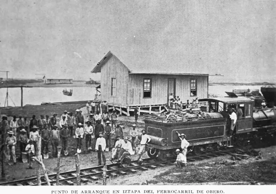
Siquinalá is a bustling industrial town in the Escuintla Department, serving as a vital gateway to Guatemala's Pacific coast. Its name derives from Pipil and means 'Place of the Water Bird,' referring to the region's rich hydrography. The town is situated at the foot of the southern slopes of the Volcán de Fuego, making the landscape both fertile and vulnerable to volcanic influences. Economically, Siquinalá is a powerhouse of the region, shaped by the large-scale production of sugarcane, rubber, and oil palms. Strategically located at the intersection of the CA-2 highway and the route to Santa Lucía Cotzumalguapa, the town serves as a central hub for agricultural goods. Historically, the region was inhabited as early as pre-Hispanic times, evidenced by nearby archaeological sites such as San Lorenzo. The townscape today is characterized by modern industry and a lively commercial district that serves the needs of the growing population. Culturally, Siquinalá celebrates its patronal festival in honor of the Immaculate Conception every December, an event that strengthens local identity and community.
- Location: Guatemala
- Nearby: Patzún (6 km)
Best time to visit & climate
The most pleasant time to visit is Jan, Feb, Dec.
| Jan | Feb | Mar | Apr | May | Jun | Jul | Aug | Sep | Oct | Nov | Dec | |
|---|---|---|---|---|---|---|---|---|---|---|---|---|
| Avg °C | 21 | 22 | 23 | 24 | 24 | 23 | 23 | 23 | 22 | 22 | 21 | 21 |
| Rain mm | 4 | 6 | 18 | 64 | 231 | 317 | 234 | 292 | 346 | 302 | 61 | 8 |
Geography
Facts
- Siquinalá is located at an elevation of approximately 330 meters above sea level.
- The name originates from the Pipil language (Siquin: bird, Alá: water).
- The town is a significant producer of natural rubber in Guatemala.
- The region is frequently affected by ash clouds from the Volcán de Fuego.
- The town's patronal festival takes place annually on December 8.
- The municipality was officially established in the 19th century as an administrative unit.
Explore nearby
Notable places around
Route planner — Car & Motorhome
Where do you start? We build the route here, with stops and country notes along the way.
© OpenStreetMap contributors · OpenRouteService
Frequently asked questions
How many days should I spend in Siquinalá?
When is the best time to visit?
How do you get to Siquinalá?
What is a typical local food?
Is the city family-friendly?
Siquinalá: where is it located?
Siquinalá: when is the best time to visit?
Siquinalá: why is it worth visiting?

Nearby cities

History & landmarks

More places