Plizio Visual Lab
San Andrés
ℹ️Practical info — San Andrés
▾
🌤 Weather — 5 days
📍 Nearby
Sights nearby
💡 Tips
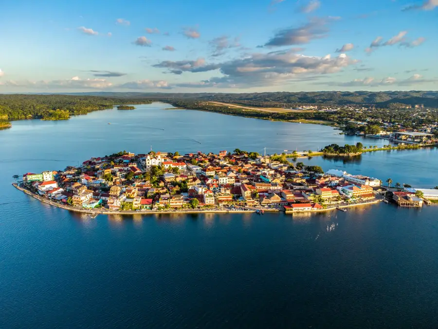
- Take a lancha (small boat) from Flores to reach San Andrés; it is a scenic and affordable ride.
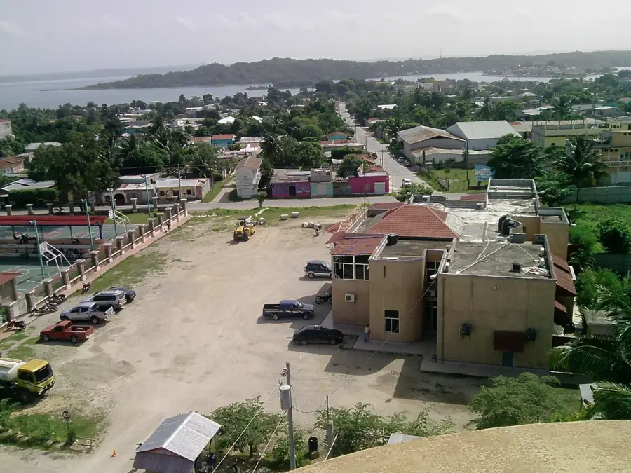
- Expect a much less touristy and more authentic atmosphere than neighboring Flores.
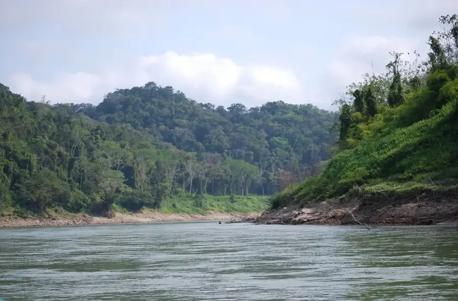
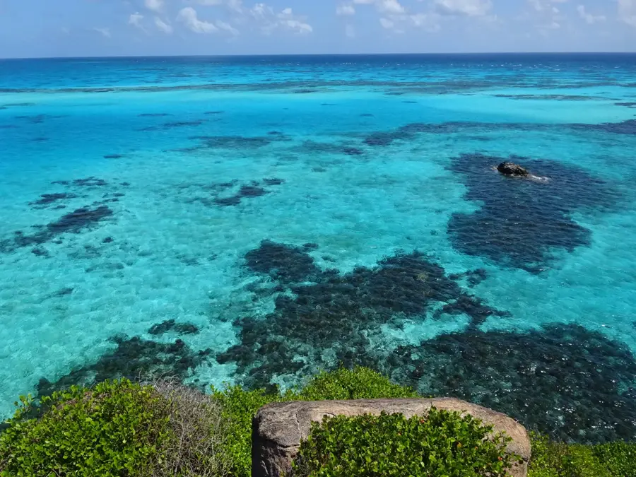
- Late afternoon is the well-suited time to head down to the lakeshore to watch the sunset over Lake Petén Itzá.
- Apply mosquito repellent generously, especially during the evening hours near the water.
🍽 Food
Try the fresh catch of the day at one of the simple comedores located right along the lakeshore.
Look for small eateries near the dock for a hearty breakfast of black beans, eggs, and plantains.
Grab freshly squeezed tropical fruit juices from the small stalls in the village center.
🛍 Shopping · 🧘 Quiet spots
The small family-run shops in the center are well-suited for stocking up on snacks and water for day trips.
Locals occasionally sell simple wood carvings or textiles near the dock.
A stroll along the water provides a peaceful atmosphere far from the hustle of Flores.
The central plaza is usually very relaxed, first-rate for sitting on a bench and people-watching.
Water temperature…
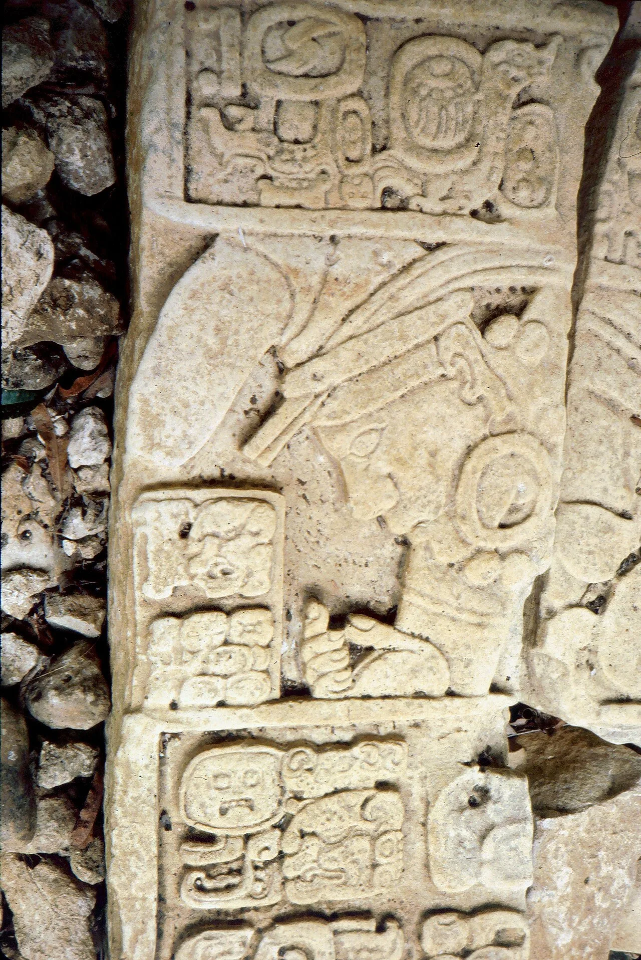
San Andrés Itzapa is a town rich in history located in the Chimaltenango Department in the central highlands of Guatemala. The town is primarily known as the spiritual center for the veneration of Maximón (San Simón), a syncretic deity that attracts thousands of pilgrims from across the country every year. Geographically, San Andrés is situated in a photogenic hilly landscape characterized by fertile volcanic soils, making the town an important agricultural site for growing vegetables and grains. The origins of the settlement date back far into pre-Hispanic times when it was a significant center for the Kaqchikel Maya. Today's town architecture displays a blend of colonial heritage and modern influences, with the central church being a prominent feature of the cityscape. Culturally, San Andrés Itzapa is deeply rooted in Maya traditions, which is reflected in the local textiles and religious life. In recent years, the town has developed into a hub for handicrafts, particularly woodworking and weaving. As part of the spirited Chimaltenango region, San Andrés plays an essential role in local trade while preserving its unique mystical atmosphere.
- Location: Guatemala
- Nearby: San Benito (7 km)
- Population: ~7.235 (2021)
Best time to visit & climate
The most pleasant time to visit is Jan, Feb, Dec.
| Jan | Feb | Mar | Apr | May | Jun | Jul | Aug | Sep | Oct | Nov | Dec | |
|---|---|---|---|---|---|---|---|---|---|---|---|---|
| Avg °C | 22 | 24 | 26 | 29 | 29 | 26 | 26 | 26 | 26 | 25 | 23 | 22 |
| Rain mm | 88 | 51 | 47 | 41 | 137 | 263 | 171 | 224 | 275 | 247 | 148 | 109 |
Geography
Facts
- San Andrés Itzapa is located at an altitude of approximately 1,780 meters.
- The town is famous for the shrine of Maximón, a local cult figure.
- The town was formally reorganized during the colonial era in the 16th century.
- The town's most important festival is celebrated annually on October 28.
- The economy is heavily based on the export of vegetables such as broccoli.
- The municipality belongs to the linguistic area of the Kaqchikel Maya.
Explore nearby
Notable places around
Route planner — Car & Motorhome
Where do you start? We build the route here, with stops and country notes along the way.
© OpenStreetMap contributors · OpenRouteService
Frequently asked questions
Where is San Andrés located in Petén?
What is special about San Andrés?
Can you visit Maya ruins starting from San Andrés?
What is the atmosphere in the town like?
Are there viewpoints there?
San Andrés: where is it located?
San Andrés: when is the best time to visit?
San Andrés: why is it worth visiting?

Nearby cities
Nature
More places