Plizio Visual Lab
Sierra de las Minas North
Weather…
Water temperature…
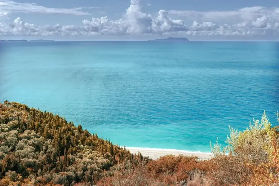
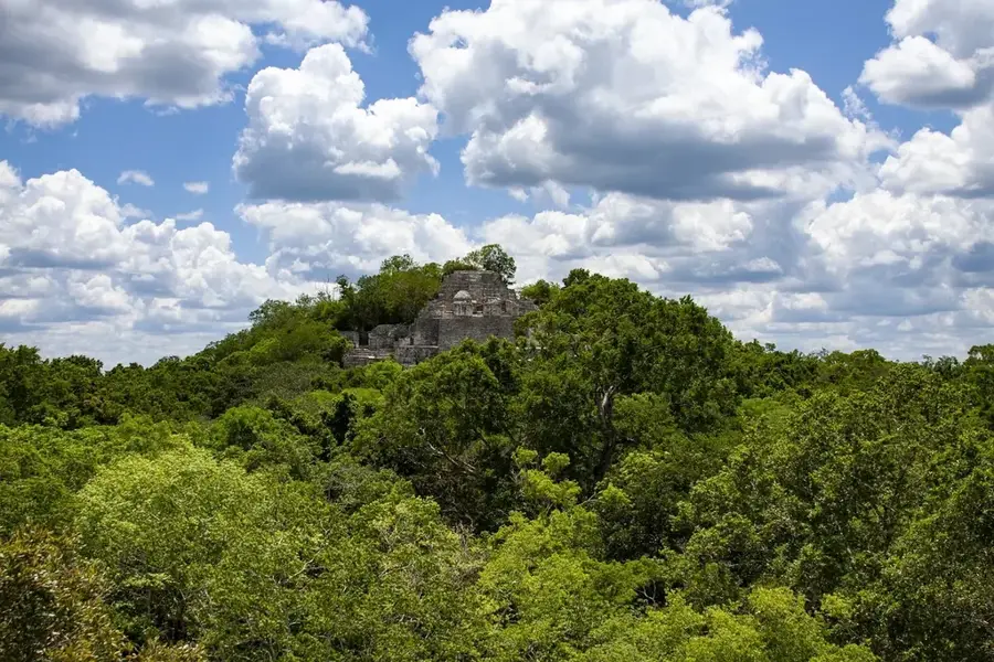
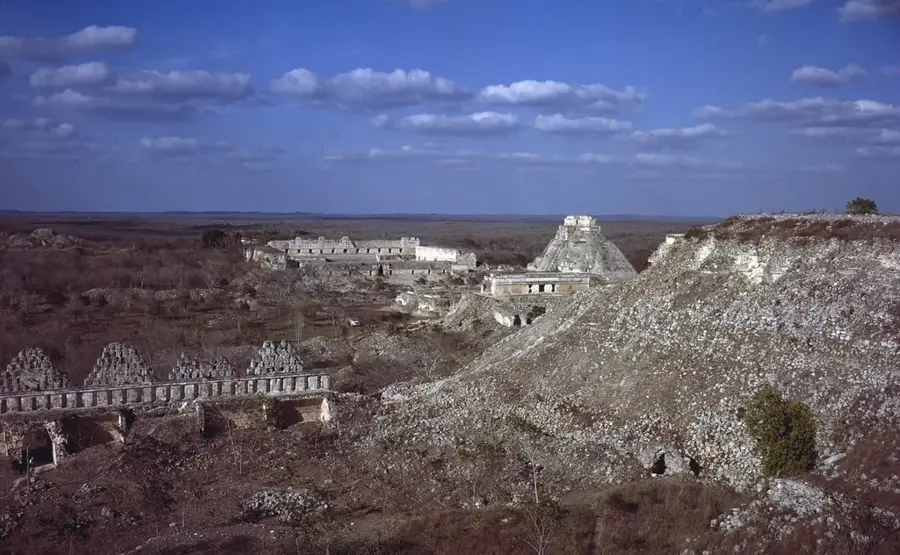
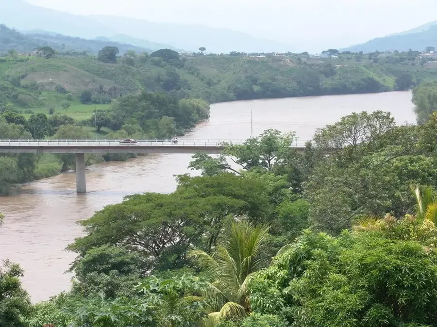
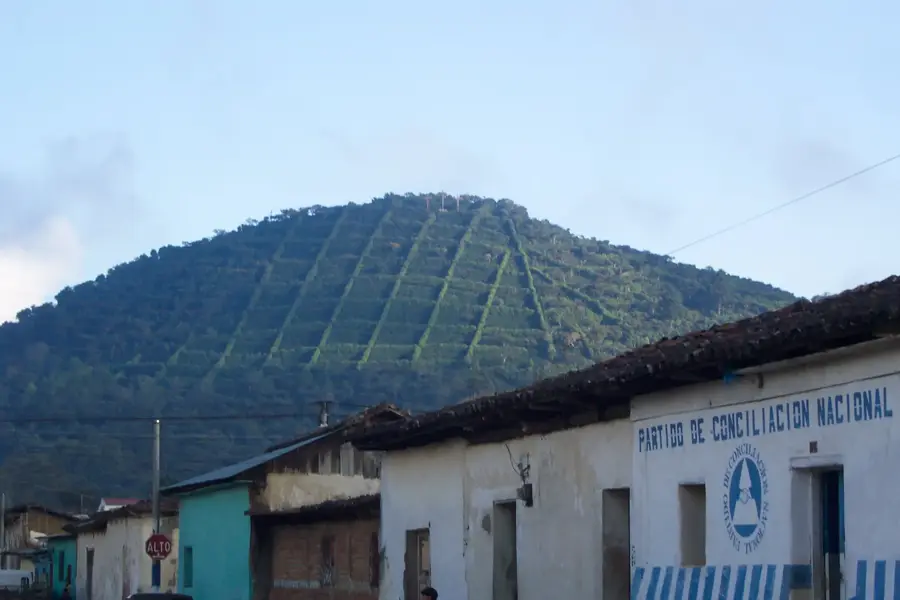
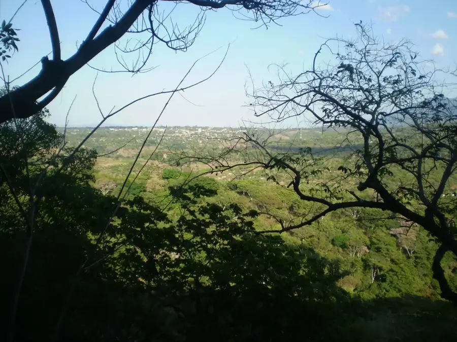
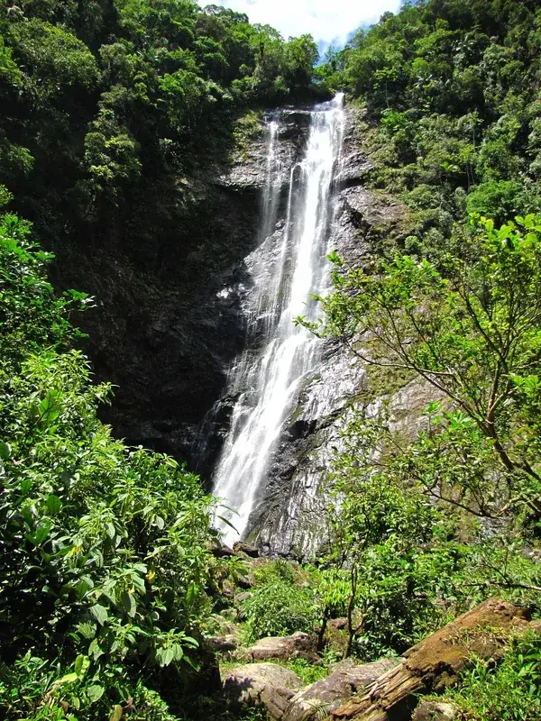
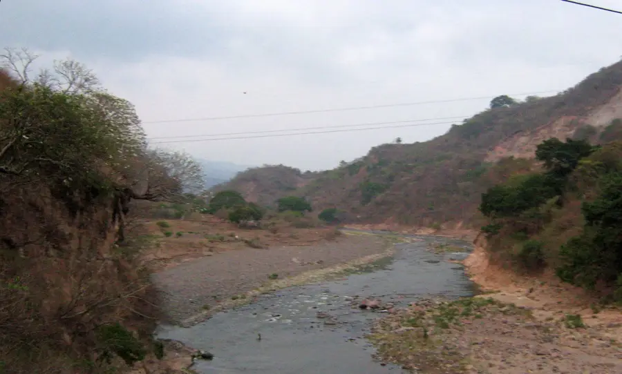
The northern section of the Sierra de las Minas in Guatemala represents one of Central America's most valuable ecosystems, harboring the region's largest cloud forest. This mountain range spans several departments and functions as a critical watershed between the Polochic Valley to the north and the Motagua Valley to the south. Geologically, the range is renowned for its rich mineral deposits, particularly jadeite, which was mined by the Maya for ceremonial purposes. Since 1990, much of the area has been protected as a Biosphere Reserve to preserve its enormous biodiversity, which includes the rare resplendent quetzal and the Central American tapir. The terrain is extremely rugged, with elevations ranging from 150 to over 3,000 meters, leading to a multitude of microclimates. The northern slopes receive significant rainfall from trade winds, supporting lush vegetation and numerous waterfalls that feed local river systems.
- Location: Guatemala
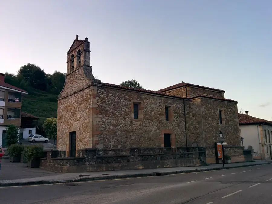
- Nearby: Asunción Mita (10 km)
Best time to visit & climate
The most pleasant time to visit is Jan–Mar.
| Jan | Feb | Mar | Apr | May | Jun | Jul | Aug | Sep | Oct | Nov | Dec | |
|---|---|---|---|---|---|---|---|---|---|---|---|---|
| Avg °C | 18 | 20 | 22 | 24 | 24 | 22 | 21 | 22 | 21 | 21 | 19 | 18 |
| Rain mm | 34 | 26 | 25 | 39 | 140 | 204 | 165 | 205 | 233 | 165 | 69 | 38 |
📋 Practical info
Geography
Facts
- The Sierra de las Minas Biosphere Reserve was officially established in 1990.
- The highest point of the range is Cerro Raxón at 3,015 meters.
- The region is home to over 880 species of vertebrates.
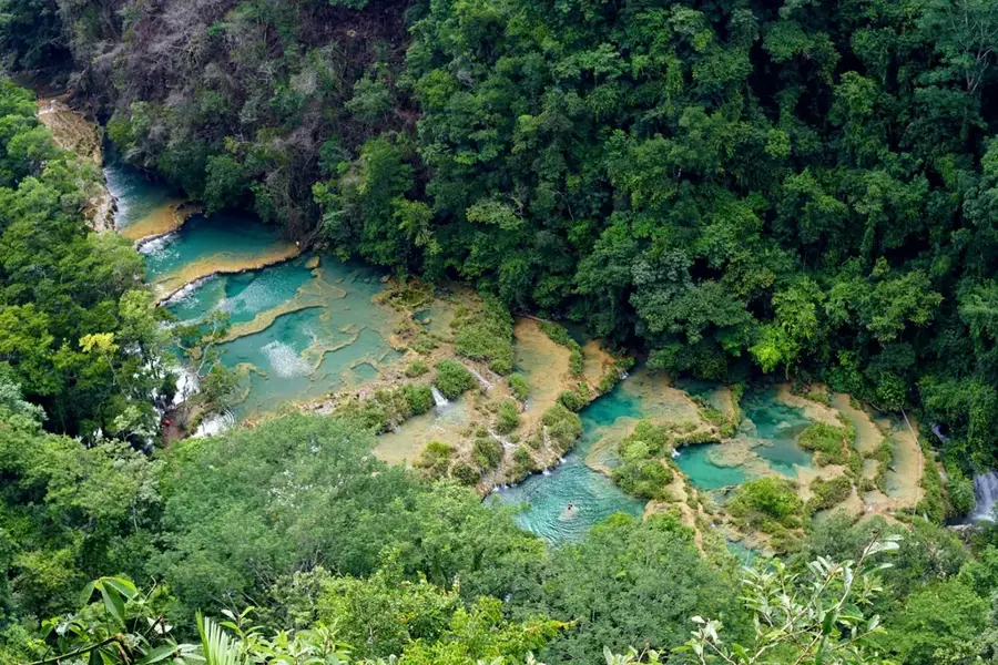
- More than 60 rivers originate in the heights of the Sierra.
- Sierra de las Minas contains Central America's largest jadeite deposits.
- About 70% of the Guatemalan quetzal population lives in these forests.
Explore nearby
Notable places around
Route planner — Car & Motorhome
Where do you start? We build the route here, with stops and country notes along the way.
© OpenStreetMap contributors · OpenRouteService
Sights nearby
Frequently asked questions
What characterizes Sierra de las Minas North?
Which animals can be seen there?
Are the hiking trails marked?
Is there accommodation nearby?
How is the accessibility?
Sierra de las Minas North: where is it located?
Sierra de las Minas North: when is the best time to visit?
Sierra de las Minas North: why is it worth visiting?

Nearby cities


History & landmarks
Nature
More places