Plizio Visual Lab
Sierra de las Minas East

Weather…
Water temperature…
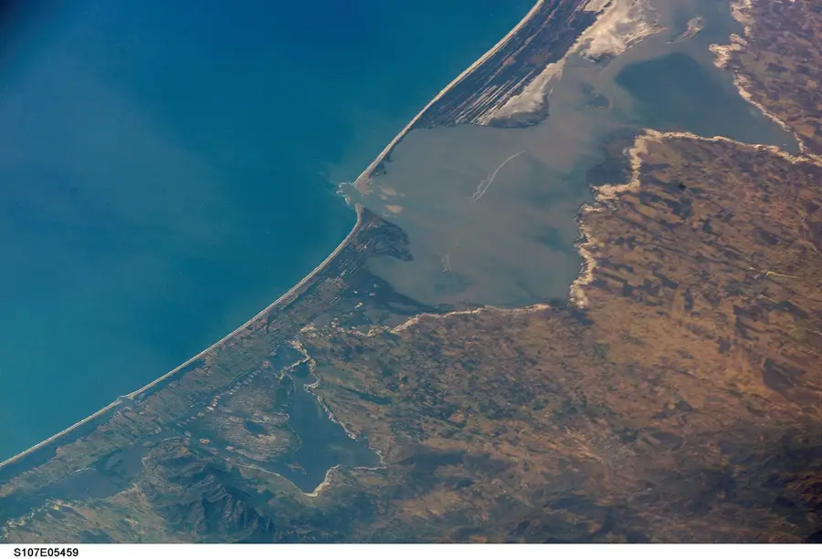
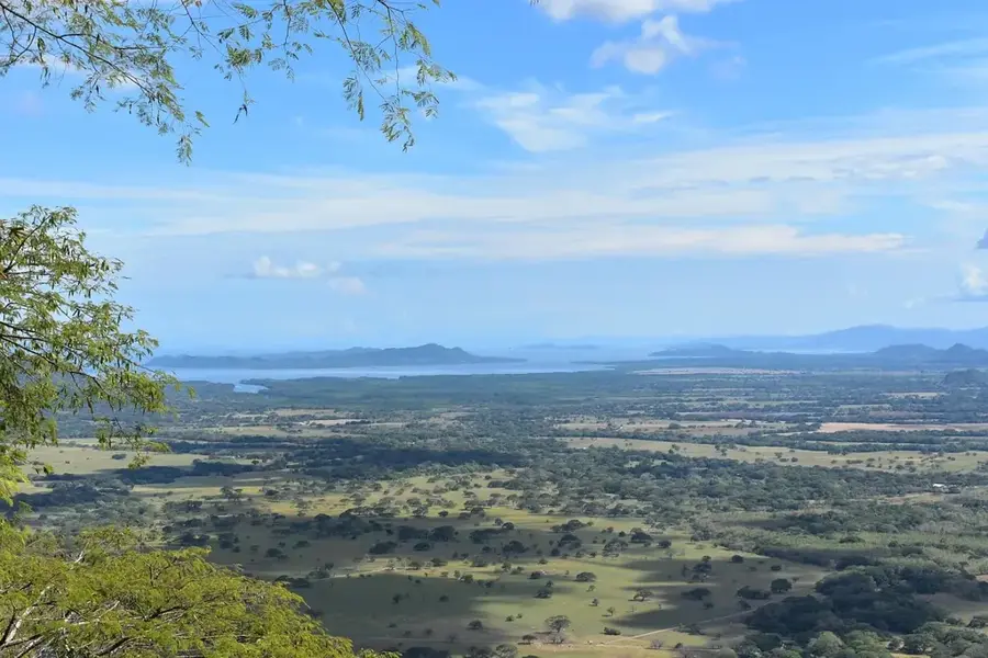
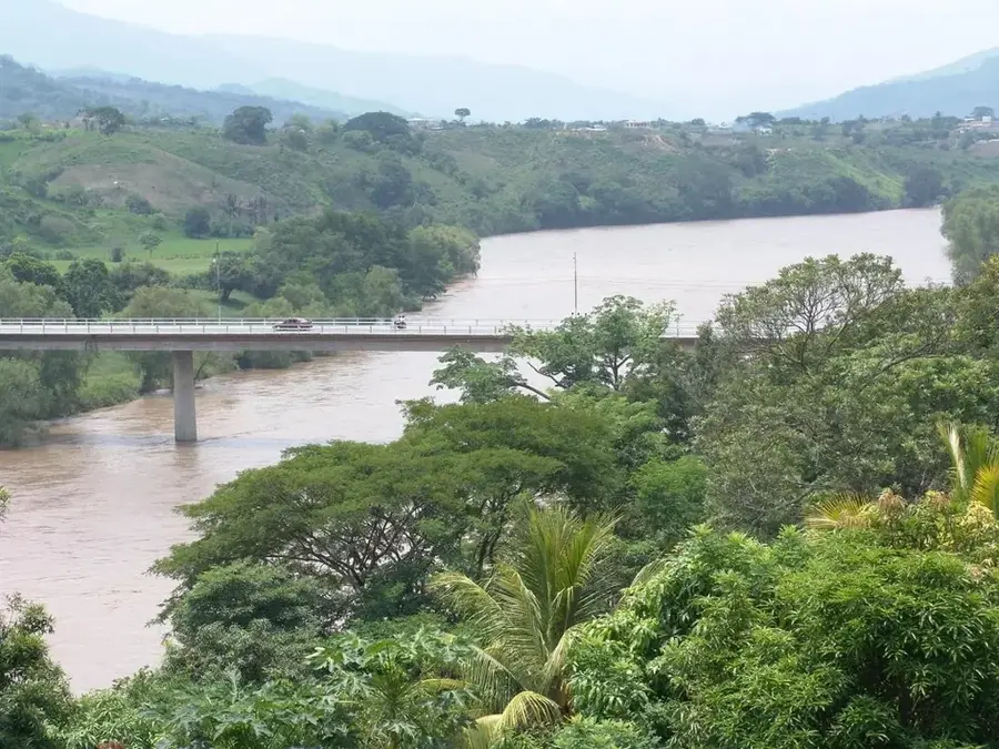
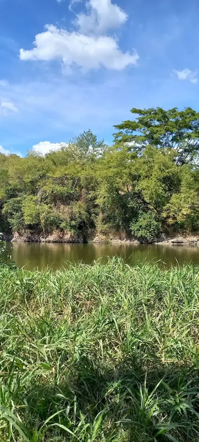
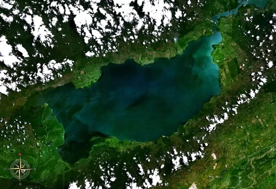
The eastern extension of the Sierra de las Minas in Guatemala forms a dramatic transition from the humid cloud forests of the central heights to the drier regions bordering the Motagua Valley. This part of the range is particularly interesting geologically as it houses significant jadeite and serpentine deposits, which were historically of invaluable worth to the Maya civilization. Vegetation varies widely here depending on exposure to moist winds from the Caribbean Sea. While higher elevations remain defined by cloud cover and mosses, lower eastern slopes feature thorn scrub and dry forests. The Sierra functions here as a crucial water reservoir for agriculture in the east of the country, as numerous rivers flow from the mountains into the arid surrounding lands. The area is part of the Biosphere Reserve and protects habitats for endangered species such as the resplendent quetzal and various orchid species that thrive in the inaccessible valleys.
- Location: Guatemala
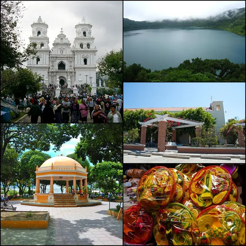
- Nearby: Esquipulas (5 km)
Best time to visit & climate
The most pleasant time to visit is Feb, Mar, Dec.
| Jan | Feb | Mar | Apr | May | Jun | Jul | Aug | Sep | Oct | Nov | Dec | |
|---|---|---|---|---|---|---|---|---|---|---|---|---|
| Avg °C | 20 | 21 | 23 | 25 | 25 | 24 | 23 | 23 | 23 | 22 | 21 | 20 |
| Rain mm | 58 | 45 | 38 | 43 | 133 | 200 | 171 | 193 | 223 | 169 | 101 | 63 |
📋 Practical info
Geography
Facts
- This zone contains the most important jadeite mining areas in the country.
- Annual precipitation can vary between 1,000 and 4,000 mm.
- The Motagua Valley to the south is one of the driest areas in Guatemala.
- The mountain range extends for over 150 kilometers.
- The region hosts the largest undisturbed ecosystem in Central America.
- Sierra de las Minas separates the Polochic and Motagua watersheds.
Explore nearby
Notable places around
Route planner — Car & Motorhome
Where do you start? We build the route here, with stops and country notes along the way.
© OpenStreetMap contributors · OpenRouteService
Sights nearby
Frequently asked questions
What is the difference compared to the northern part of the Sierra?
Are there mining activities there?
How is the access to the eastern part?
Can you go birdwatching there?
What should you have in your backpack?
Sierra de las Minas East: where is it located?
Sierra de las Minas East: when is the best time to visit?
Sierra de las Minas East: why is it worth visiting?

Nearby cities


History & landmarks


Nature
More places