Plizio Visual Lab
San Agustín Acasaguastlán
ℹ️Practical info — San Agustín Acasaguastlán
▾
🌤 Weather — 5 days
📍 Nearby
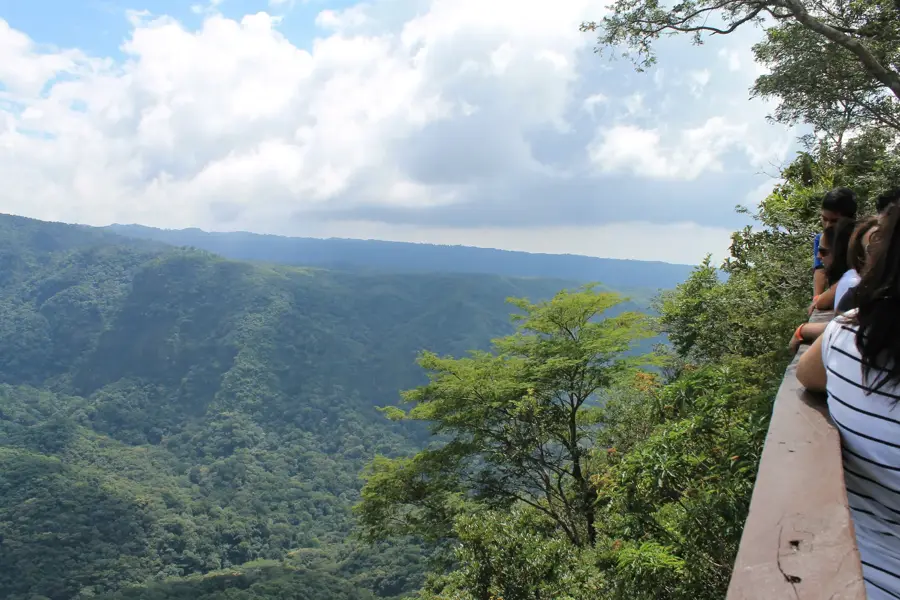
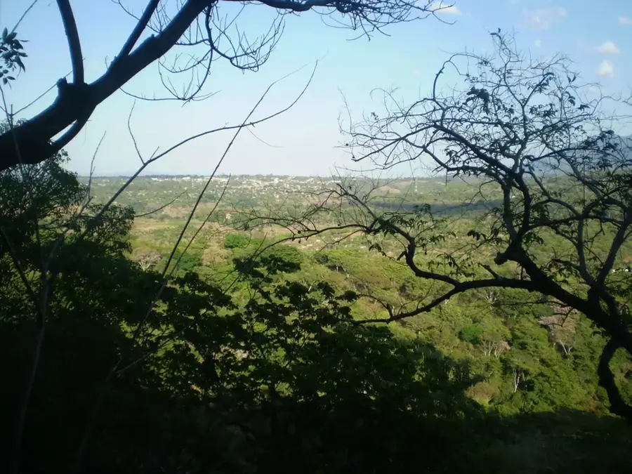
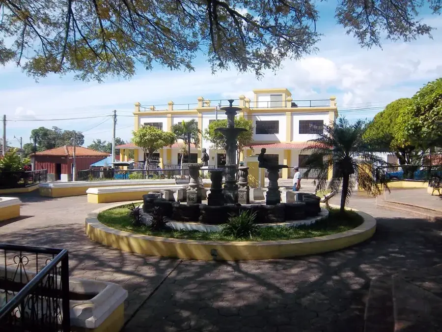
Sights nearby
💡 Tips
- The town is small and very traditional; dress modestly, especially when visiting the historic church.
- Temperatures can soar in this dry corridor; carry water and avoid strenuous walking at midday.
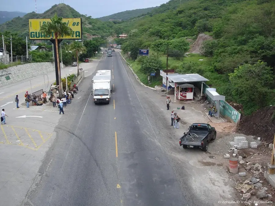
- Public transport is via pickup trucks or microbuses from Guastatoya; expect a bumpy but scenic ride.
- Bring cash, as ATMs are scarce and mostly rely on the main branch in the town square.
🍽 Food
Though Salvadoran, they are widely adopted here; find them freshly made at evening street stalls.
Hen soup, a hearty, traditional lunch option in the small local comedores.
In season, buy these small, tart fruits from street vendors around the plaza.
🛍 Shopping · 🧘 Quiet spots
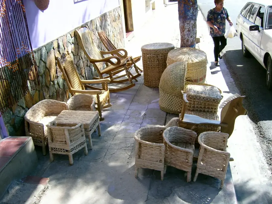
Look for small shops near the church selling handmade traditional local candies.
Occasionally sold in the market by artisans from the surrounding villages.
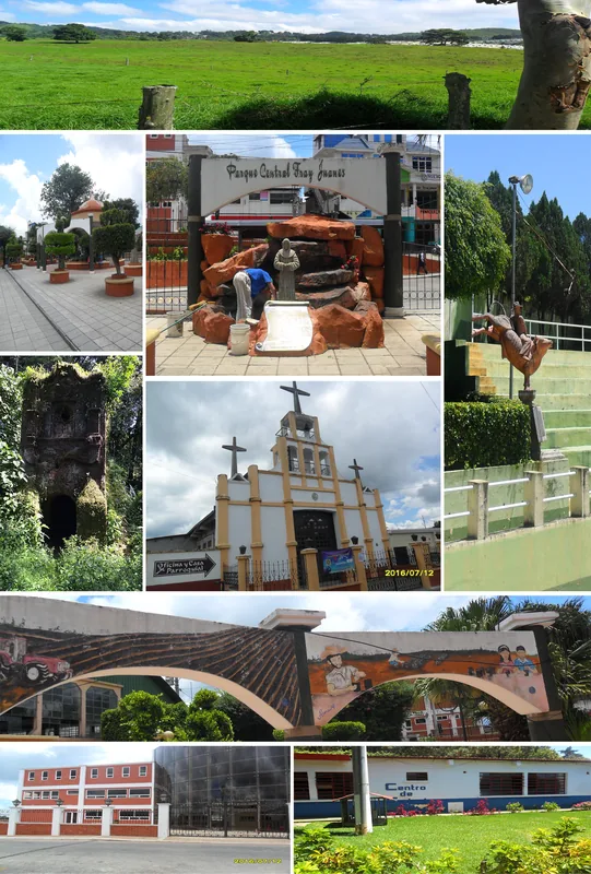
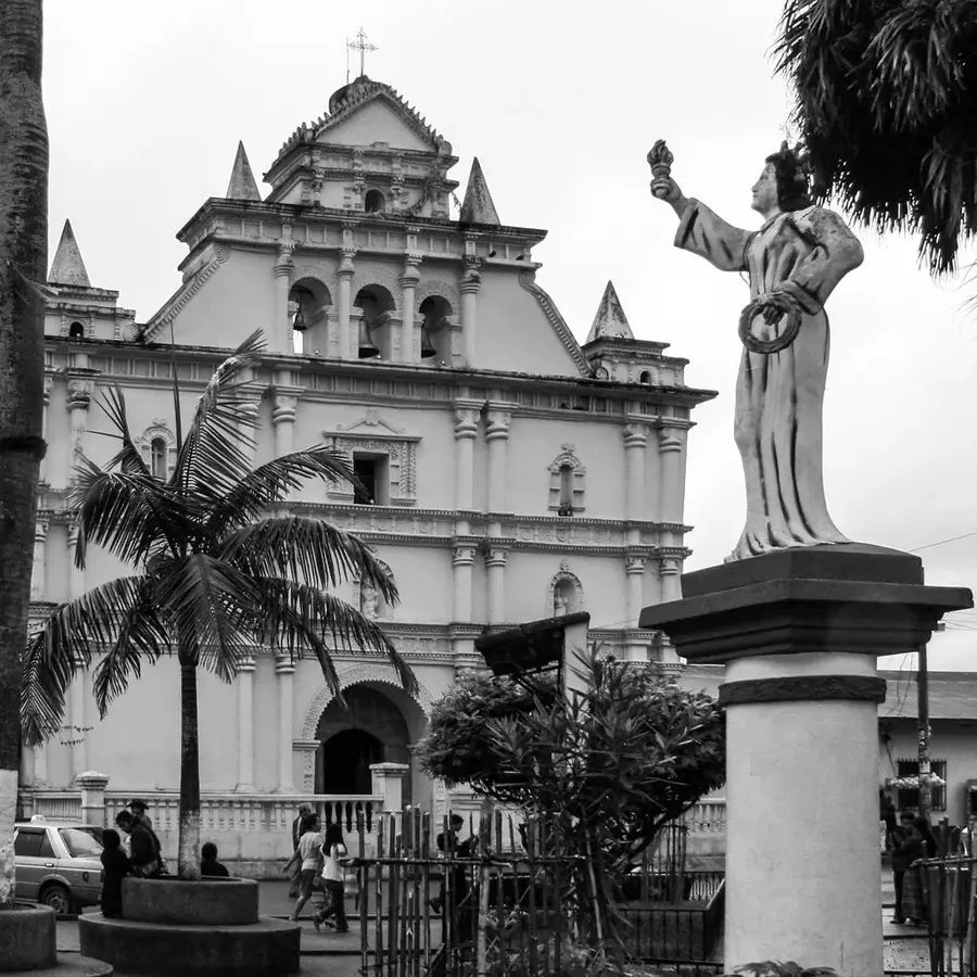
An impressive example of colonial baroque architecture, best admired in the quiet early morning light.
A shady spot to sit and observe the slow pace of rural Guatemalan life.
Water temperature…
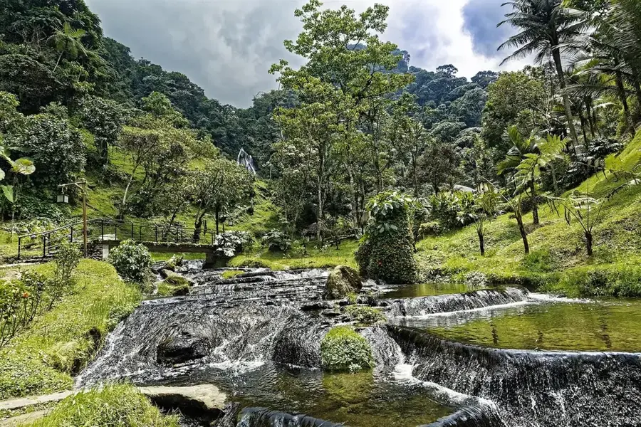
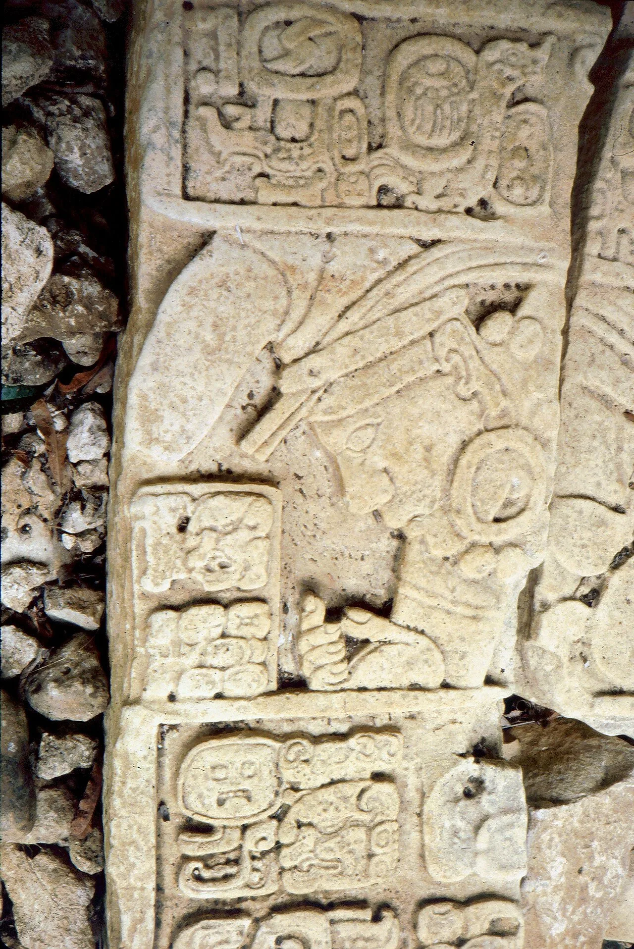
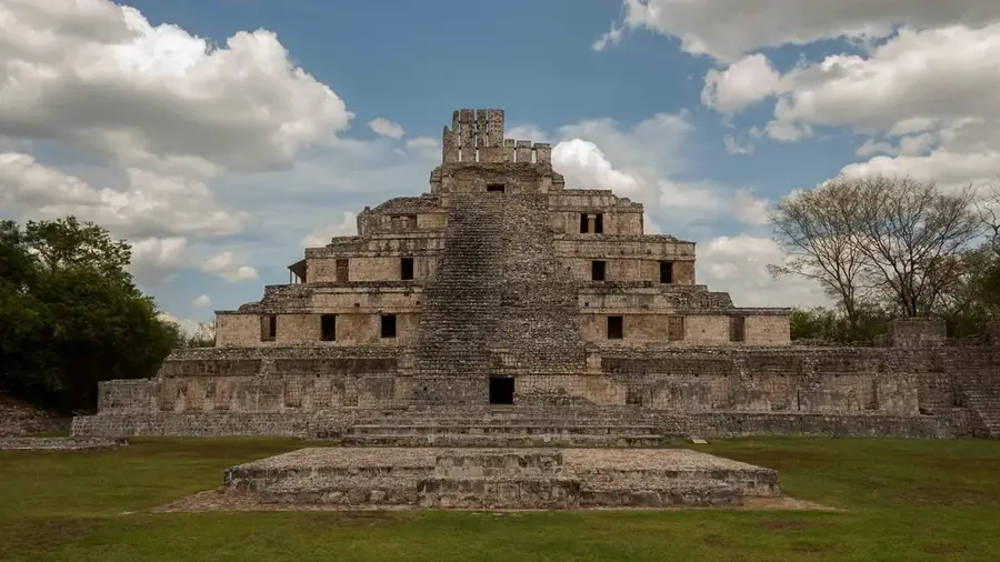
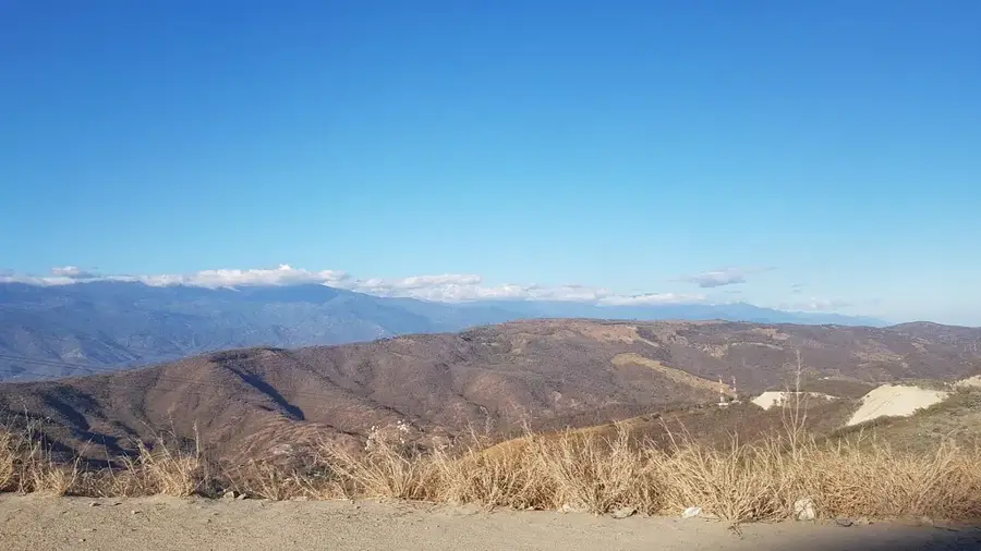
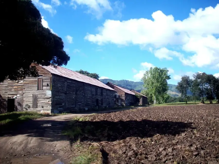
San Agustín Acasaguastlán is a historically significant municipality in the El Progreso Department, located in the fertile Motagua River valley. The town has roots dating back to pre-Columbian times when it was a major center for indigenous domains. The architectural jewel of the town is the 16th-century colonial parish church, known for its massive construction and historic altarpieces. Geographically, the region is characterized by a semi-arid climate, allowing for the cultivation of specific crops such as tobacco, tomatoes, and various fruits. Economically, agriculture plays the central role, supplemented by growing commerce due to its proximity to the vital Atlantic Highway. The town's cultural identity is maintained through traditional festivals and the preservation of local legends, often tied to the rich history of the Motagua Valley. The city also serves as a gateway for exploring the Sierra de las Minas, a major biosphere reserve in the immediate vicinity.
- Location: Guatemala
- Nearby: Chiquimulilla (6 km)
- Population: ~10.335 (2020)
Best time to visit & climate
The most pleasant time to visit is Jan–Mar.
| Jan | Feb | Mar | Apr | May | Jun | Jul | Aug | Sep | Oct | Nov | Dec | |
|---|---|---|---|---|---|---|---|---|---|---|---|---|
| Avg °C | 18 | 20 | 22 | 24 | 24 | 22 | 21 | 22 | 21 | 21 | 19 | 18 |
| Rain mm | 34 | 26 | 25 | 39 | 140 | 204 | 165 | 205 | 233 | 165 | 69 | 38 |
Geography
Facts
- The town is located at an elevation of 290 meters in the Motagua Valley.
- San Agustín Acasaguastlán was a significant religious center for the Dominicans.
- The parish church has survived several major earthquakes since the 16th century.
- The Sierra de las Minas to the north is home to the rare Quetzal bird.
- Tobacco from this region is considered among the highest quality in Guatemala.
- The town celebrates its patronal feast annually on August 28th.
Explore nearby
Notable places around
Route planner — Car & Motorhome
Where do you start? We build the route here, with stops and country notes along the way.
© OpenStreetMap contributors · OpenRouteService
Frequently asked questions
What is the most important sight?
What is the city known for?
What is the environment like?
When is the patron saint festival?
Are there nature activities?
San Agustín Acasaguastlán: where is it located?
San Agustín Acasaguastlán: when is the best time to visit?
San Agustín Acasaguastlán: why is it worth visiting?

Nearby cities

History & landmarks

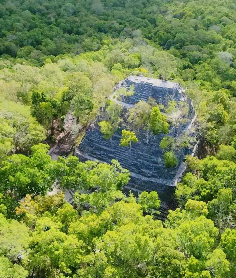

Nature

More places