Plizio Visual Lab
Polochic Valley
Weather…
Water temperature…
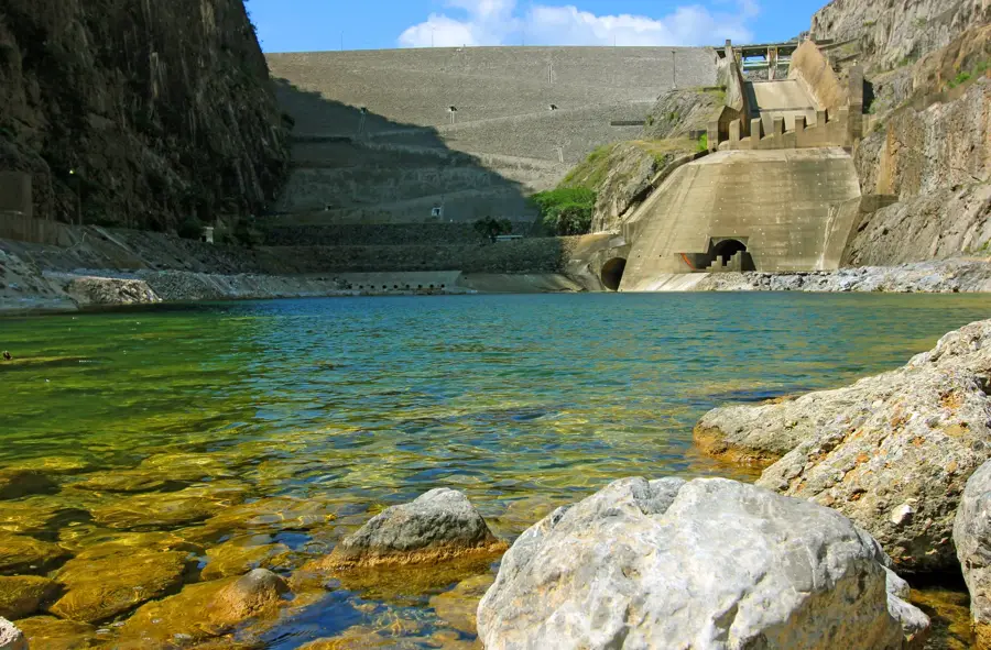
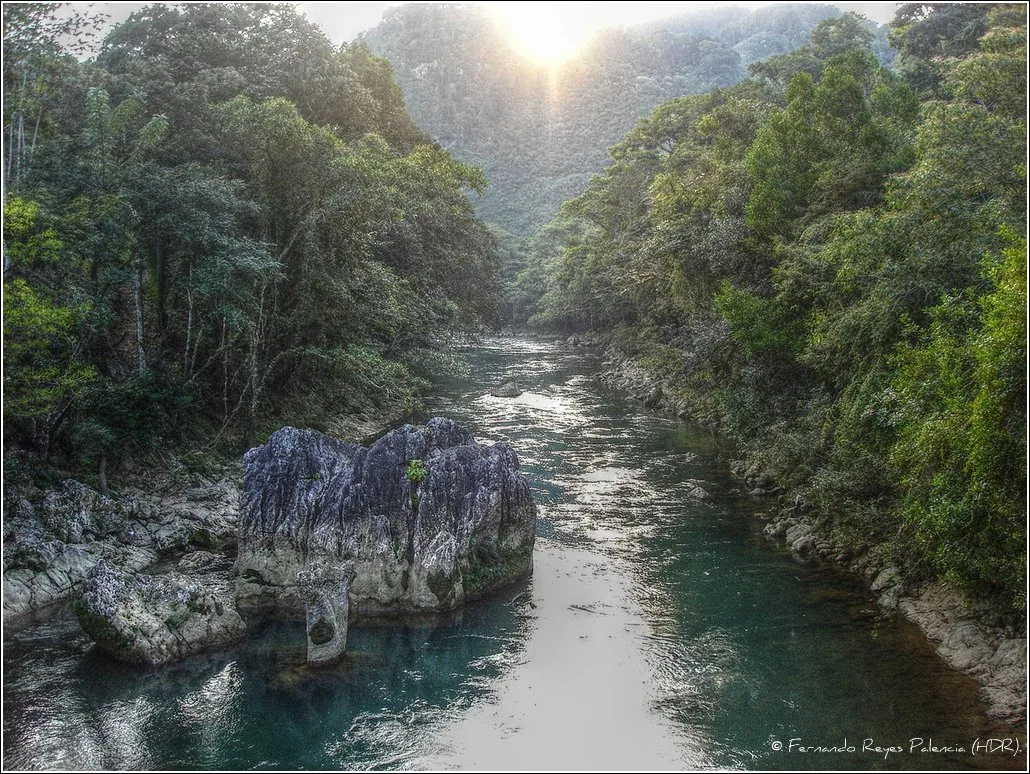
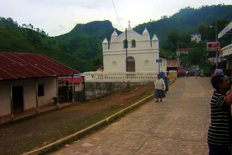
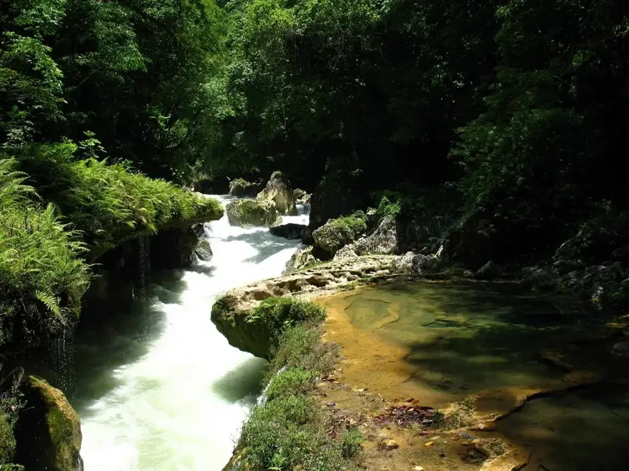
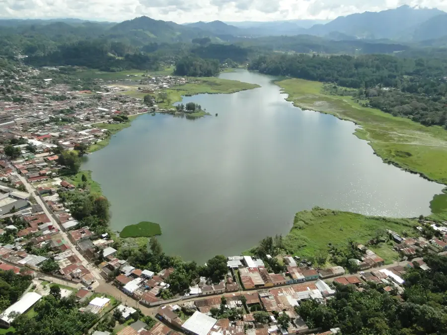
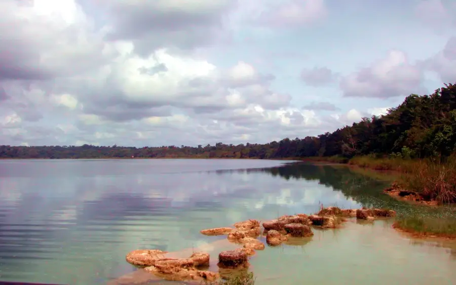
The Polochic Valley in eastern Guatemala is a prominent tectonic rift valley stretching between the Sierra de las Minas to the south and the Sierra de Chamá to the north. The valley is traversed by the Polochic River, which plays a crucial role in draining the region into Lake Izabal. Due to its low-lying elevation and tropical climate, the valley is a significant agricultural hub, producing crops such as corn, beans, coffee, and increasingly, oil palm. Historically, the valley served as a major trade route for the Maya and later during the colonial era for transporting goods toward the Atlantic. The geology of the Polochic Valley is defined by the Polochic Fault, one of Guatemala's most important seismic zones, marking the boundary between the North American and Caribbean plates. This dynamic landscape has a mix of wetlands, tropical rainforests, and intensely cultivated agricultural lands.
- Location: Guatemala
- Nearby: Asunción Mita (10 km)
Best time to visit & climate
The most pleasant time to visit is Feb, Mar, Dec.
| Jan | Feb | Mar | Apr | May | Jun | Jul | Aug | Sep | Oct | Nov | Dec | |
|---|---|---|---|---|---|---|---|---|---|---|---|---|
| Avg °C | 19 | 20 | 22 | 24 | 25 | 23 | 22 | 22 | 22 | 22 | 20 | 19 |
| Rain mm | 63 | 46 | 41 | 45 | 140 | 225 | 179 | 219 | 265 | 198 | 106 | 67 |
📋 Practical info
Geography
Facts
- The Polochic River has a total length of approximately 194 kilometers.
- The valley opens into Lake Izabal, the largest lake in Guatemala.
- The Polochic Fault is an active transform fault between tectonic plates.
- Large quantities of cardamom are produced annually in the region.
- The valley lies at an average elevation of less than 200 meters above sea level.
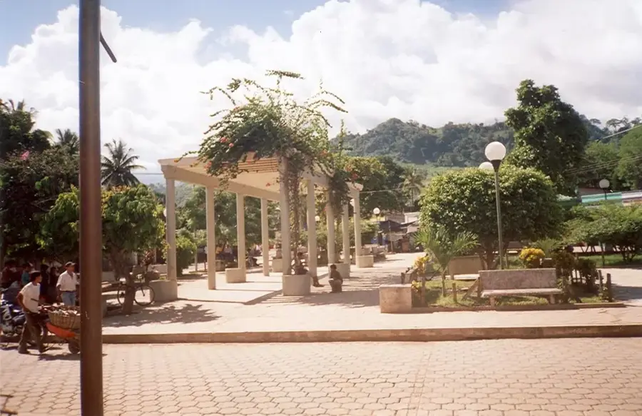
- Panzós serves as a significant inland river port within the valley.
Explore nearby
Notable places around
Route planner — Car & Motorhome
Where do you start? We build the route here, with stops and country notes along the way.
© OpenStreetMap contributors · OpenRouteService
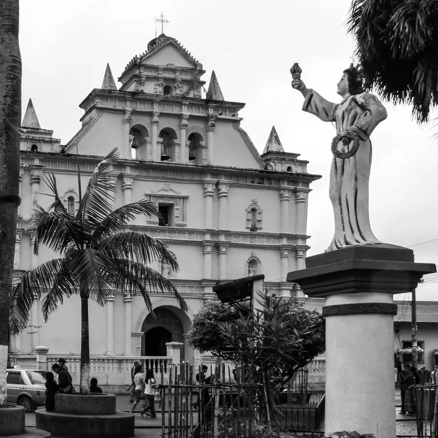
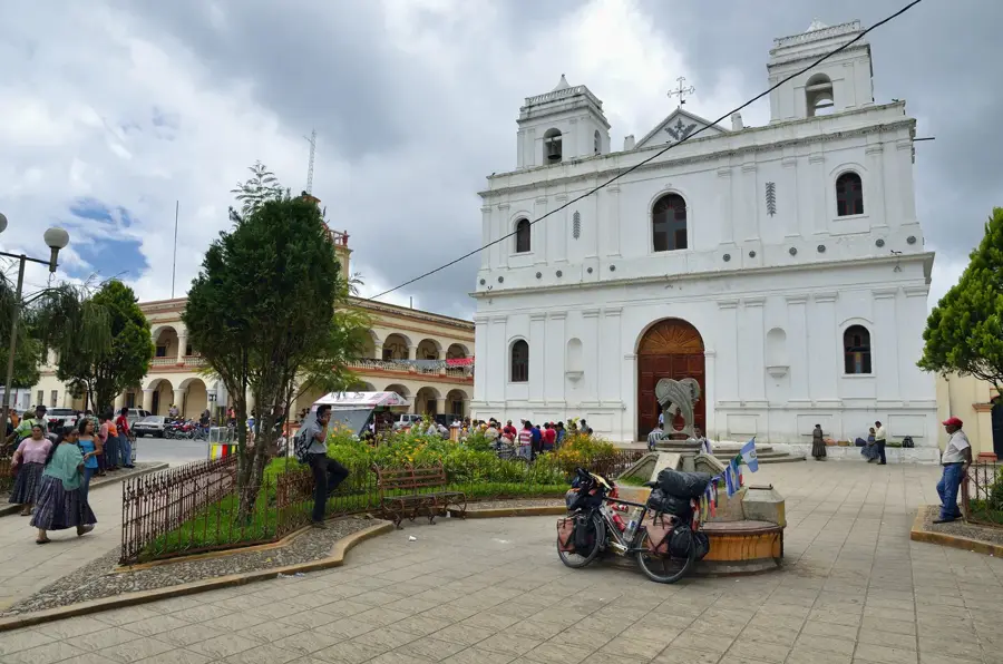
Sights nearby
Frequently asked questions
Where is the Polochic Valley located?
What is the main activity in the valley?
What is the weather like in Polochic Valley?
Is the Polochic River navigable?
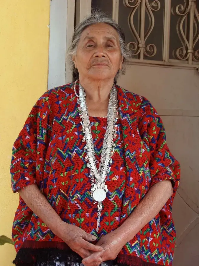
Are there indigenous communities there?
Polochic Valley: where is it located?
Polochic Valley: when is the best time to visit?
Polochic Valley: why is it worth visiting?

Nearby cities
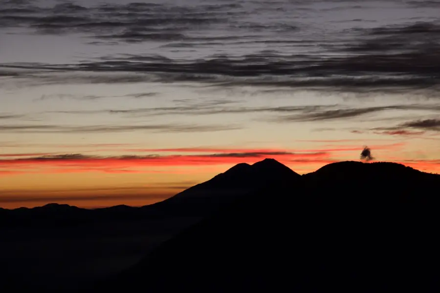
Nature
More places