Plizio Visual Lab
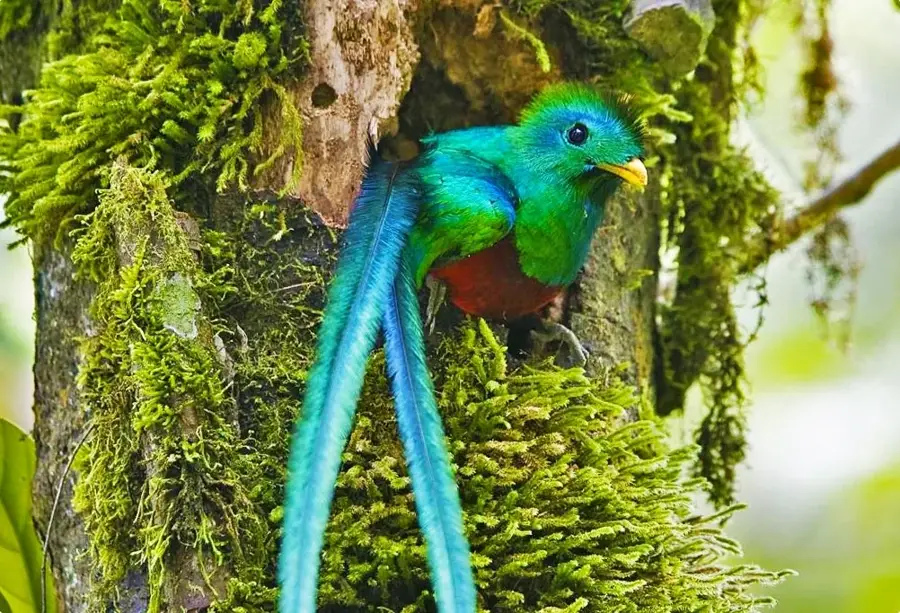
Quetzal Biotope
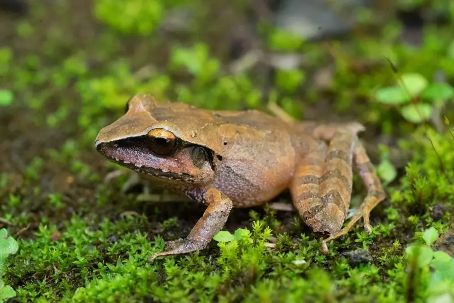
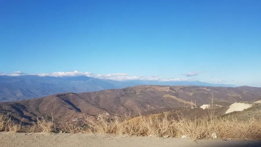
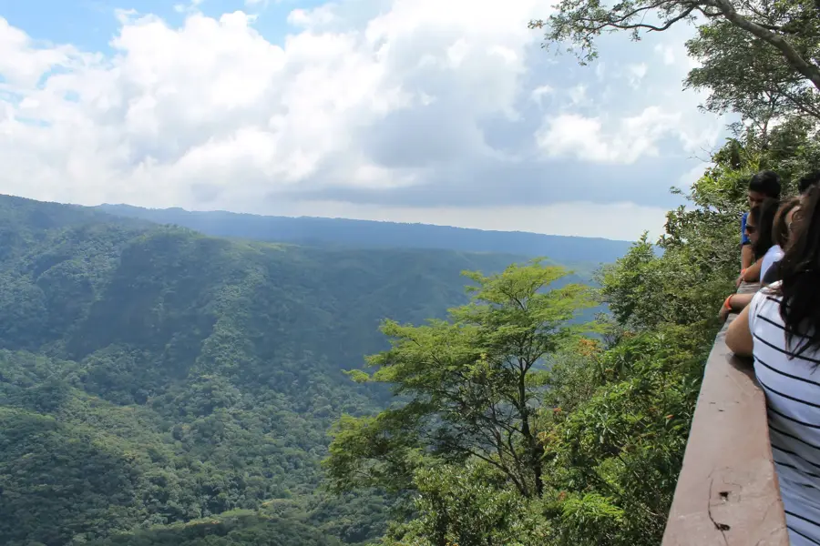
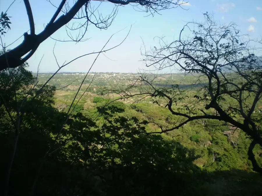
The Quetzal Biotope, officially known as the Mario Dary Rivera Biotope, is located in Purulhá, within the Baja Verapaz department of Guatemala. Established in 1976, this 1,017-hectare protected area is dedicated to conserving the cloud forest habitat of the Resplendent Quetzal, Guatemala's national bird. The terrain sits at an elevation between 1,500 and 2,300 meters above sea level, creating a cool and incredibly humid environment. This unique climate supports over 50 species of trees, along with a vast array of orchids, ferns, and bromeliads. Visitors can explore the biodiversity through two main hiking trails: the Fern Trail and the Moss Trail. Beyond its namesake bird, the biotope is home to howler monkeys, toucans, and various endemic amphibians. The site serves as a critical ecological corridor and a leading center for environmental education and conservation efforts in the Central American highlands.
- Location: Guatemala
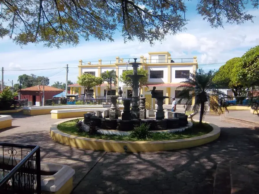
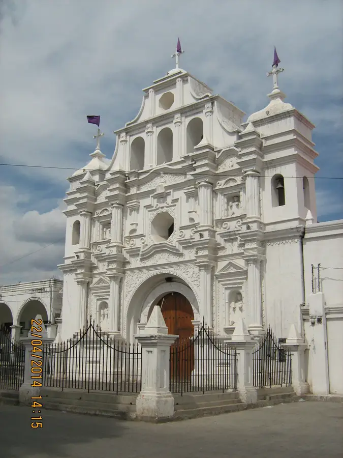
- Nearby: San Agustín Acasaguastlán (8 km)
Best time to visit & climate
The most pleasant time to visit is Jan–Mar.
| Jan | Feb | Mar | Apr | May | Jun | Jul | Aug | Sep | Oct | Nov | Dec | |
|---|---|---|---|---|---|---|---|---|---|---|---|---|
| Avg °C | 18 | 20 | 22 | 24 | 24 | 22 | 21 | 22 | 21 | 21 | 19 | 18 |
| Rain mm | 34 | 26 | 25 | 39 | 140 | 204 | 165 | 205 | 233 | 165 | 69 | 38 |
📋 Practical info
Geography
Facts
- The biotope was officially established on June 2, 1976, by the University of San Carlos.
- It covers a total area of approximately 1,017 hectares of pristine cloud forest.
- Annual rainfall in the area can reach up to 4,000 millimeters per year.
- Scientists have cataloged more than 50 different species of trees within the reserve.
- The highest elevation within the protected area is approximately 2,300 meters.
- Two main interpretive trails are available for visitors, measuring 2 km and 4 km.
Explore nearby
Notable places around
Route planner — Car & Motorhome
Where do you start? We build the route here, with stops and country notes along the way.
© OpenStreetMap contributors · OpenRouteService
Sights nearby
Frequently asked questions
When is the best time to spot the quetzal?
How long are the hiking trails?
Is the entry expensive?
Is there accommodation there?
What should you wear?
Quetzal Biotope: where is it located?
Quetzal Biotope: when is the best time to visit?
Quetzal Biotope: why is it worth visiting?

Nearby cities
History & landmarks
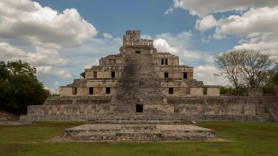
More places