Plizio Visual Lab
Salamá
ℹ️Practical info — Salamá
▾
🌤 Weather — 5 days
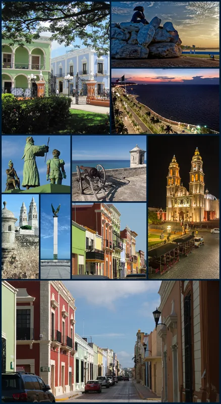
📍 Nearby
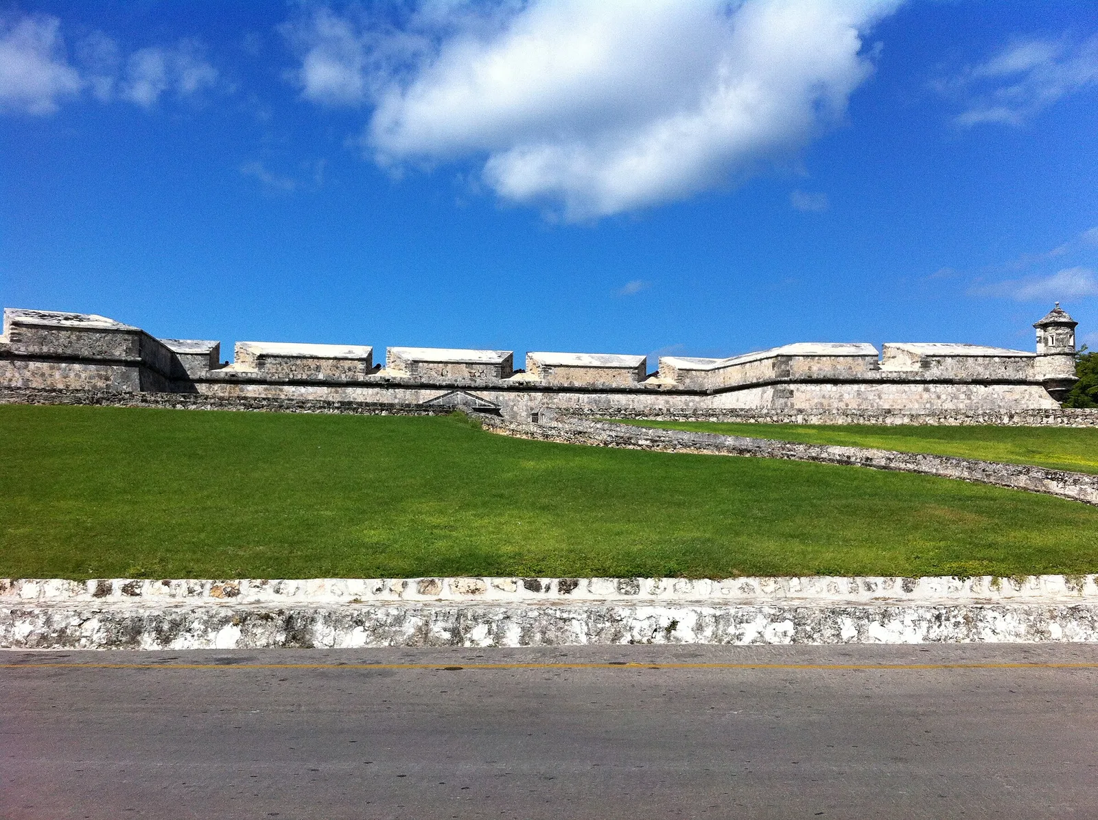
Sights nearby
💡 Tips
- The climate here is significantly hotter and drier than the rest of the Verapaces; bring good sun protection.
- Visit the central park on a Sunday when it’s lively and full of local vendors.
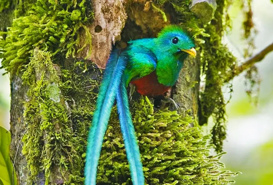
- Use Salamá as a base to explore the nearby Biotopo del Quetzal, leaving early in the morning for the best chance to see the bird.
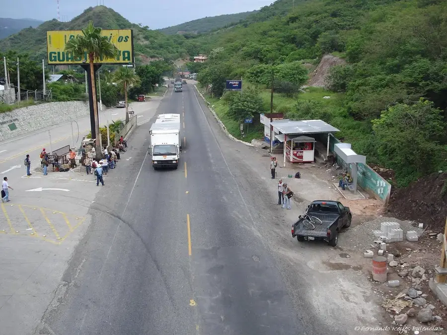
- Public transport (microbuses) is cheap but can be cramped; keep your valuables close.
🍽 Food
White beans with pork, a hearty regional dish available in local comedores.
Roasted tomato salsa, often served with grilled meats at local eateries.
Sweet treats with a creamy filling sold in the local bakeries.
🛍 Shopping · 🧘 Quiet spots
Search the municipal market for unglazed clay pots and griddles (comales).
Such as belts and small bags, crafted by artisans in the region.
A short walk up this hill gives a quiet panoramic view of the Salamá valley.
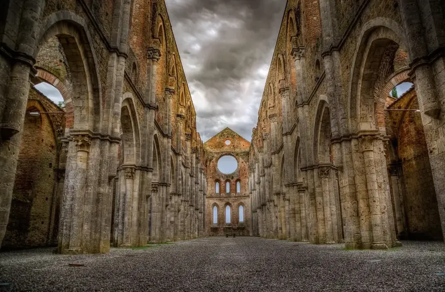
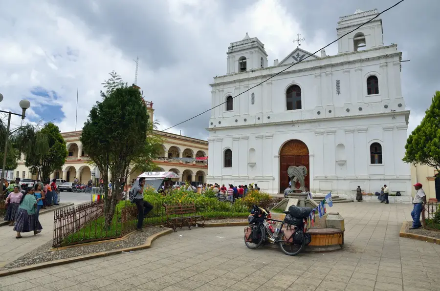
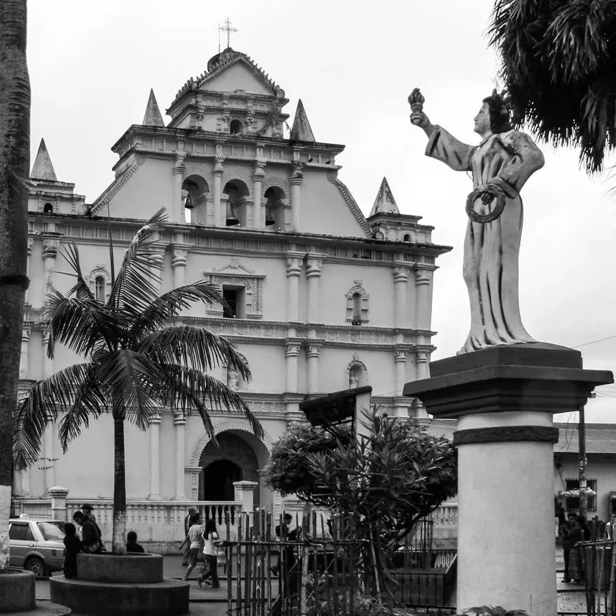
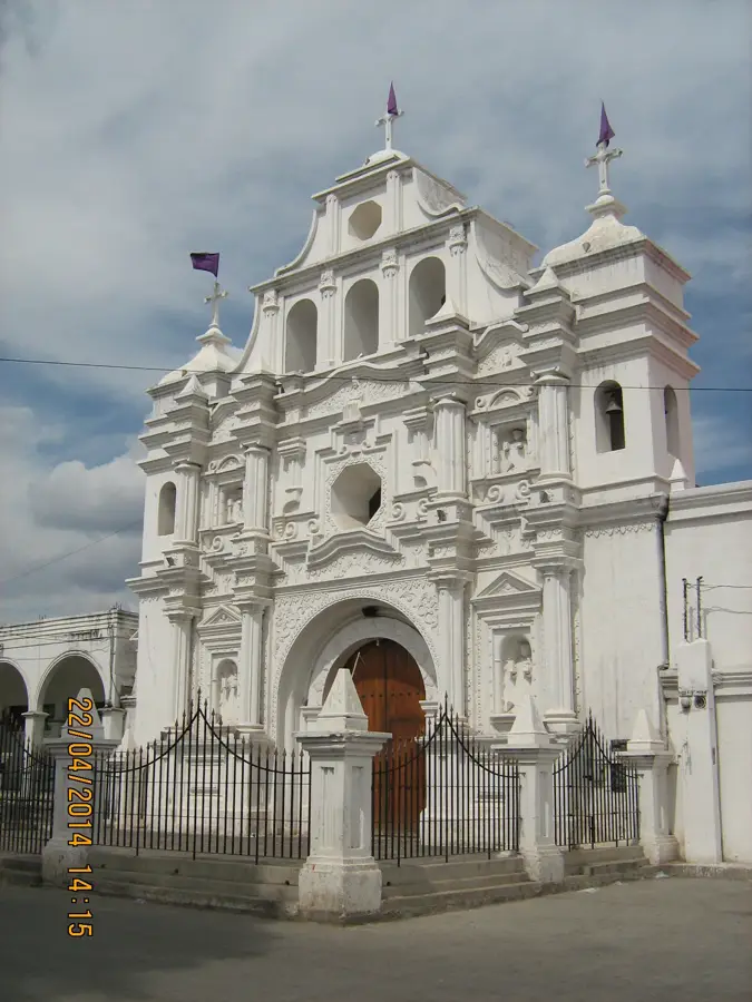
The grand colonial church on the main square is a peaceful architectural gem.
Water temperature…
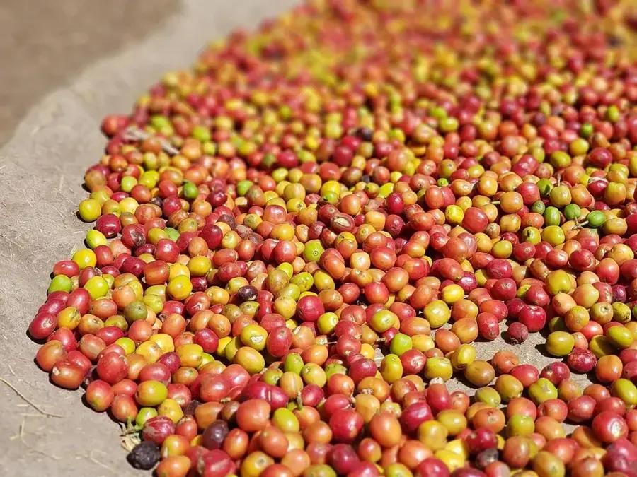
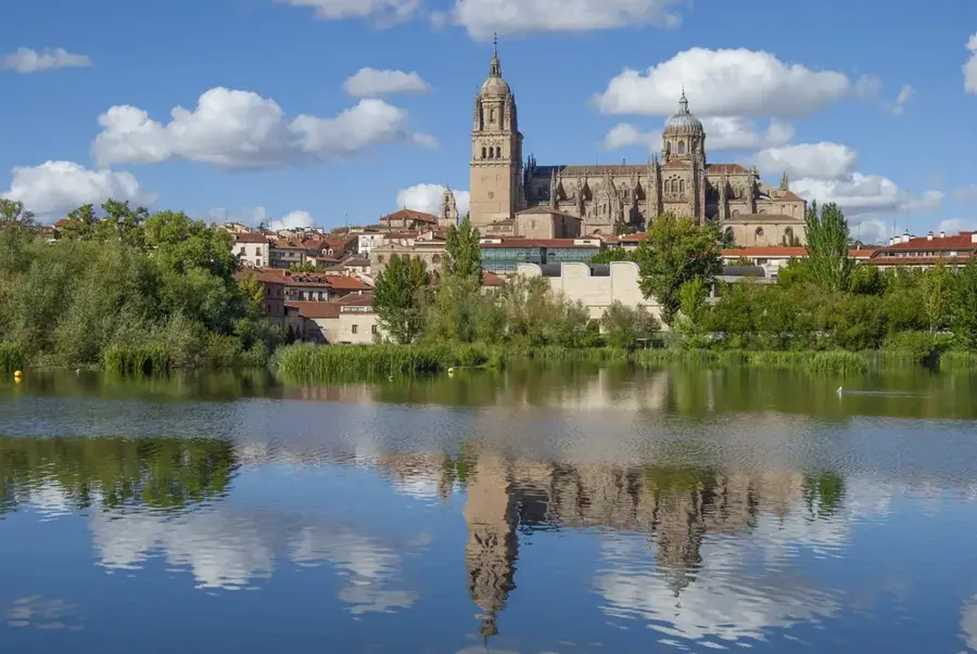
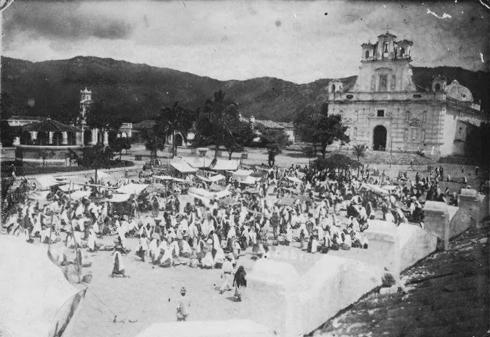
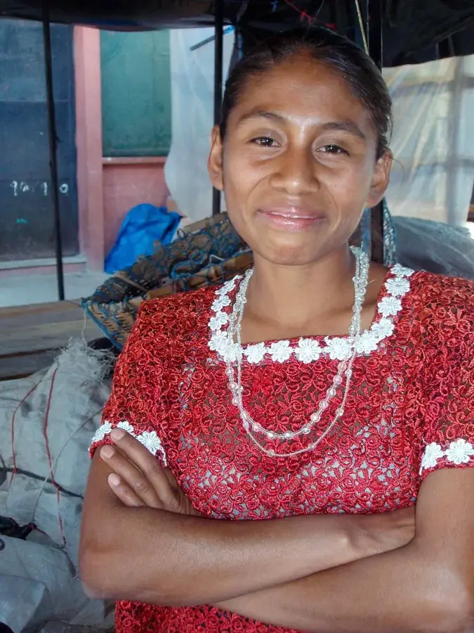
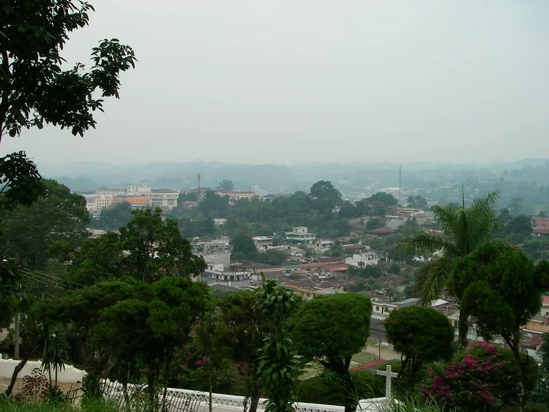
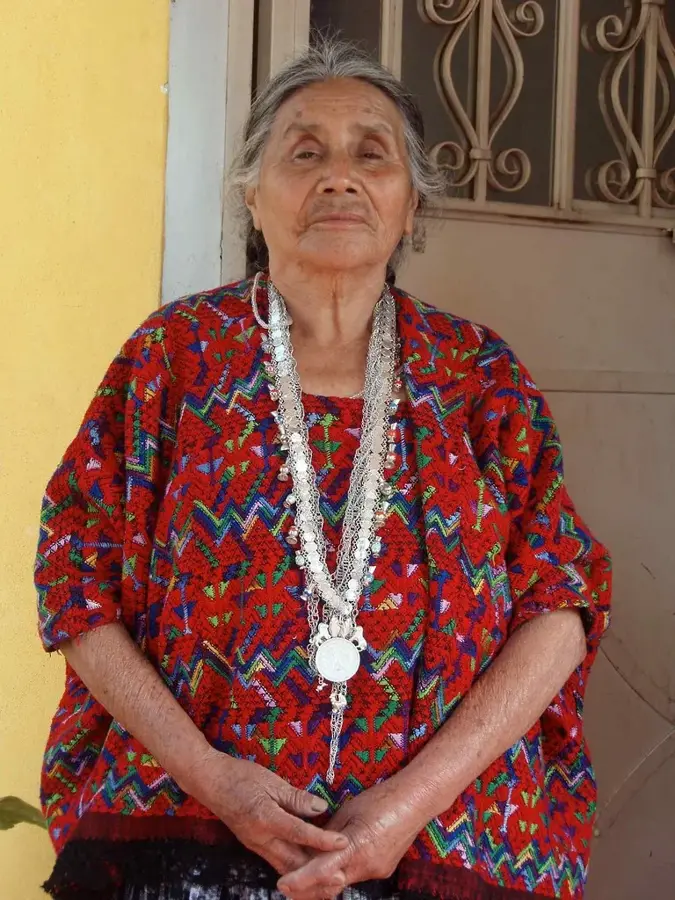
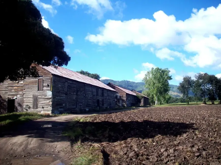
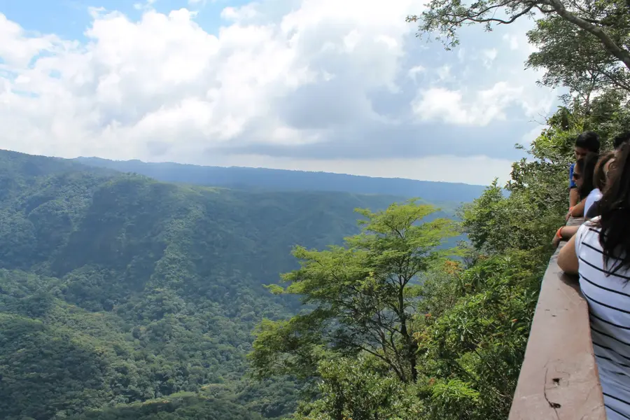
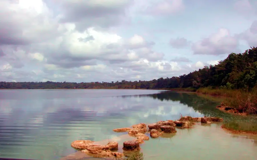
Salamá serves as the administrative heart and capital of the Baja Verapaz department in central Guatemala, situated gracefully in a valley carved by the Salamá River. Established around 1562 by Dominican friars, the city's origins are deeply rooted in the colonial era's spiritual and administrative expansion. Its central plaza is anchored by the magnificent Church of San Mateo Apostle, a hallmark of Spanish Baroque architecture that stands as a testament to the region's historical religious significance. Geographically, Salamá is unique for its location within Guatemala's "dry corridor," resulting in a semi-arid climate that contrasts sharply with the lush cloud forests found just a few kilometers away in the higher elevations. This dry environment historically favored large-scale agriculture, particularly sugar cane production centered around the nearby San Jerónimo estate, which was once the most advanced sugar mill in Central America. Today, the economy of Salamá has evolved to include diverse agricultural activities like the cultivation of tomatoes, peppers, and beans, alongside a robust trade sector and a renowned marble extraction industry. The city's cultural tapestry is woven from the heritage of the Achi Maya people and the descendants of Spanish settlers, creating a rich local identity expressed through language, craft, and festivals. The annual fair in September honoring Saint Matthew is the city's most prominent event, featuring traditional dances like the "Dance of the Mazates," spirited street decorations, and local delicacies. Demographically, the city has seen steady growth, maintaining a balance between urban development and the preservation of its communal traditions. For visitors, Salamá provides a peaceful atmosphere and serves as a strategic gateway to exploring the biodiversity of the Sierra de las Minas and the national bird's sanctuary, the Biotopo del Quetzal. Its blend of colonial history, geological uniqueness, and contemporary resilience makes Salamá a crucial component of Guatemala's central highland identity.
- Location: Guatemala
- Nearby: Barberena (5 km)
- Population: ~65.275 (2025)
Best time to visit & climate
The most pleasant time to visit is Feb–Apr.
| Jan | Feb | Mar | Apr | May | Jun | Jul | Aug | Sep | Oct | Nov | Dec | |
|---|---|---|---|---|---|---|---|---|---|---|---|---|
| Avg °C | 16 | 18 | 19 | 21 | 21 | 20 | 19 | 19 | 19 | 18 | 17 | 16 |
| Rain mm | 13 | 11 | 18 | 43 | 154 | 225 | 165 | 218 | 256 | 190 | 48 | 16 |
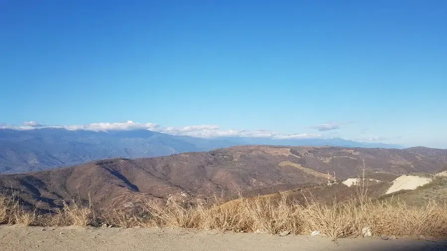
Geography
Facts
- Founded in 1562, Salamá is one of the oldest colonial-era settlements in the region.
- The city sits at an elevation of 940 meters (3,084 feet) in a central valley.
- It serves as the departmental capital of Baja Verapaz.
- The local economy is bolstered by the export of high-quality marble and agricultural goods.
- The patron saint festival occurs annually on September 21st in honor of St. Matthew.
- The San Mateo Church features elaborate altarpieces from the 18th century.
- Salamá is located in the rain shadow of the Sierra de las Minas, creating a dry climate.
- The population of the municipality exceeds 65,000 residents as of recent estimates.
Explore nearby
Notable places around
Route planner — Car & Motorhome
Where do you start? We build the route here, with stops and country notes along the way.
© OpenStreetMap contributors · OpenRouteService
Sights in the town Salamá (1)
Frequently asked questions
What makes Salamá worth visiting?
What kind of climate does Salamá have?
What activities can you do nearby?
Is there typical local handicraft?
When is the city festival?
Salamá: where is it located?
Salamá: when is the best time to visit?
Salamá: why is it worth visiting?

Nearby cities
History & landmarks
Nature
More places