Plizio Visual Lab
Sierra de las Nubes

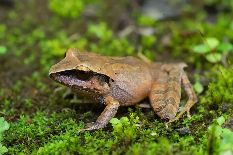
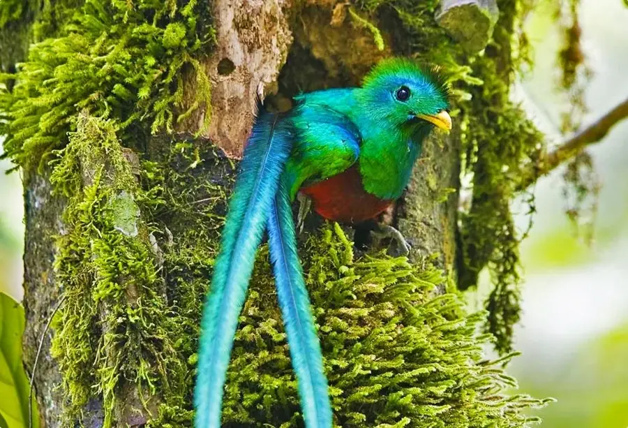
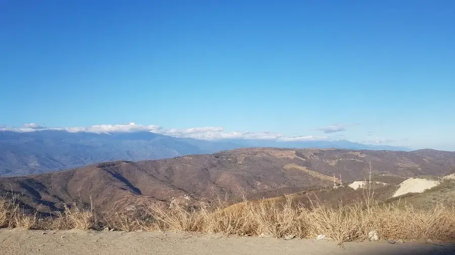
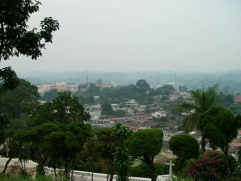
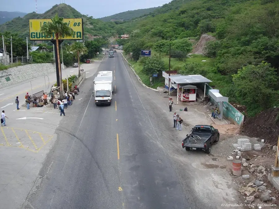
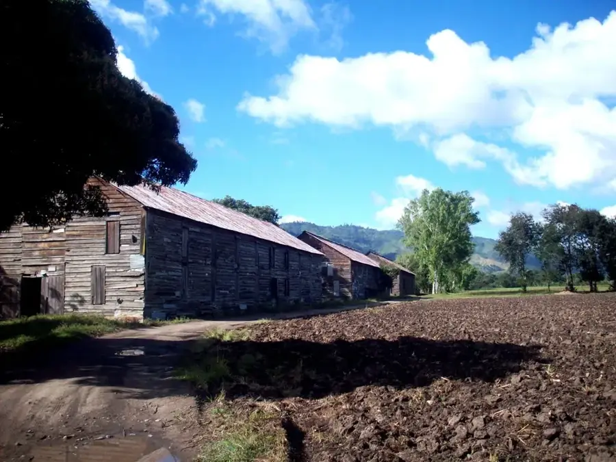
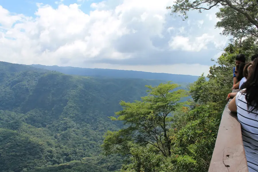
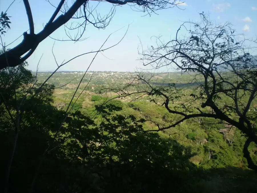
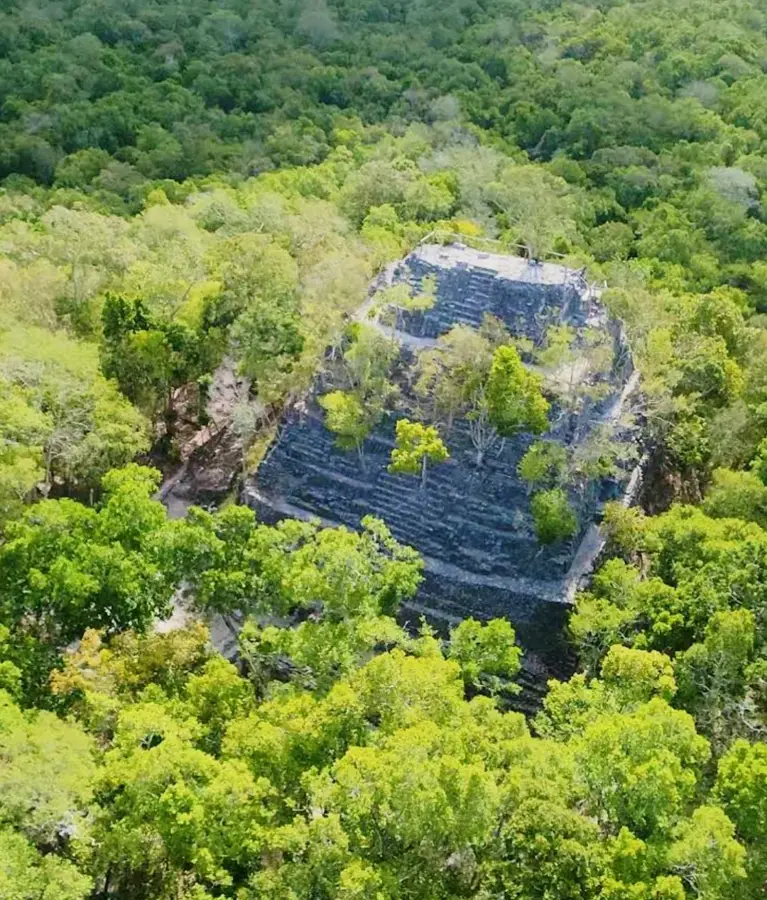
The Sierra de las Nubes is a mountain range in the central part of Guatemala, stretching southeast of Guatemala City. It is an essential component of the watershed for the capital and the surrounding municipalities of Fraijanes and Santa Catarina Pinula. The name derives from the frequent cloud and fog formations that often shroud the peaks and sustain the dense cloud forests. The region lies at an altitude of up to 2,600 meters and is known for its cool climate and rich biodiversity. Economically, the Sierra is of great significance for the cultivation of high-quality highland coffee, which benefits from the mineral-rich volcanic soils. In addition to agriculture, the mountains serve as an important recreational area for the urban population and provide shelter for numerous bird species, including the Quetzal, which nests in the remaining forest fragments.
- Location: Guatemala
- Nearby: San Agustín Acasaguastlán (7 km)
Best time to visit & climate
The most pleasant time to visit is Feb, Mar, Dec.
| Jan | Feb | Mar | Apr | May | Jun | Jul | Aug | Sep | Oct | Nov | Dec | |
|---|---|---|---|---|---|---|---|---|---|---|---|---|
| Avg °C | 19 | 20 | 22 | 24 | 25 | 23 | 22 | 22 | 22 | 22 | 20 | 19 |
| Rain mm | 63 | 46 | 41 | 45 | 140 | 225 | 179 | 219 | 265 | 198 | 106 | 67 |
📋 Practical info
Geography
Facts
- Highest elevations reach up to 2,600 meters
- Crucial source for the capital's water supply
- Center for gourmet coffee cultivation
- Part of the Continental Divide of Guatemala
- Frequent fog formation gives the range its name
- Sanctuary for the national bird, the Quetzal
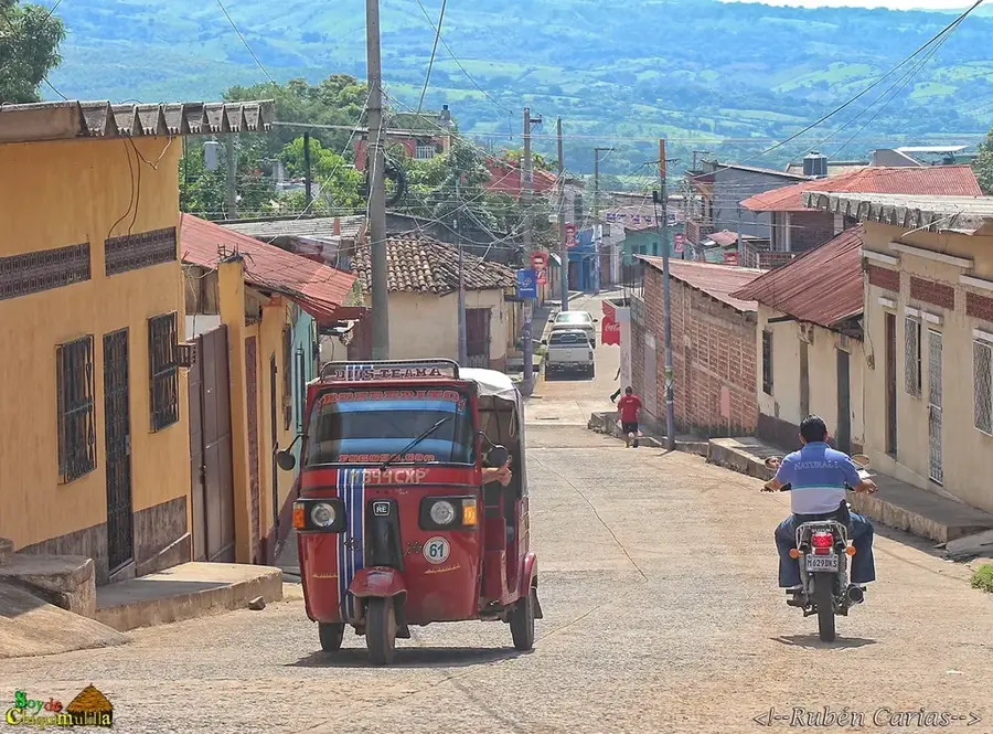
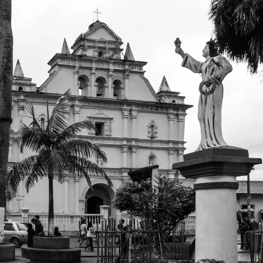
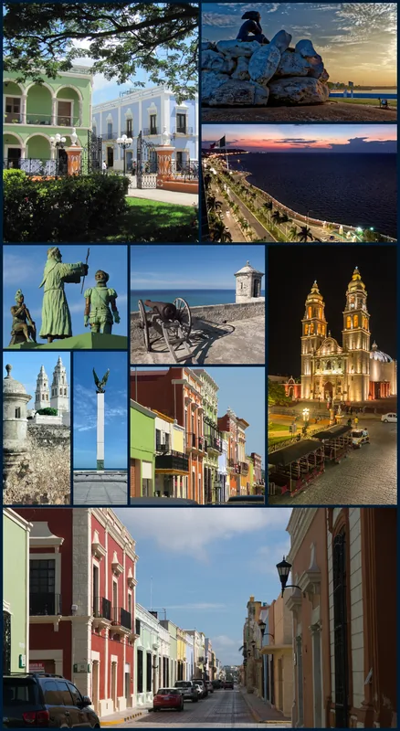
Explore nearby
Notable places around
Route planner — Car & Motorhome
Where do you start? We build the route here, with stops and country notes along the way.
© OpenStreetMap contributors · OpenRouteService
Sights nearby
Frequently asked questions
Where is Sierra de las Nubes located?
Where does the name come from?
Can you go birdwatching there?
Are there hiking trails?
What is the temperature?
Sierra de las Nubes: where is it located?
Sierra de las Nubes: when is the best time to visit?
Sierra de las Nubes: why is it worth visiting?

Nearby cities
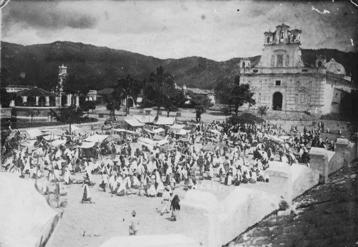


History & landmarks


More places