Plizio Visual Lab
Cerro Cahabón South

Weather…
Water temperature…
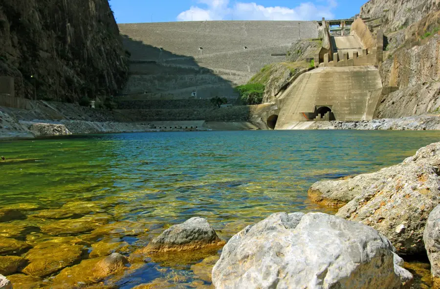
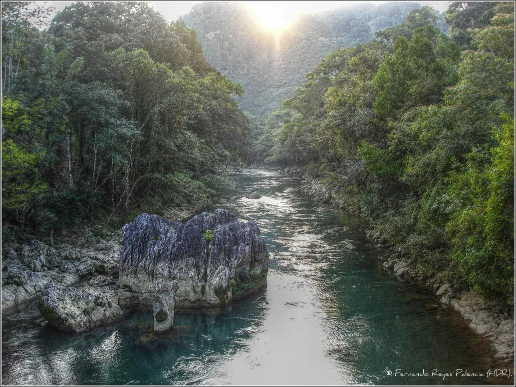
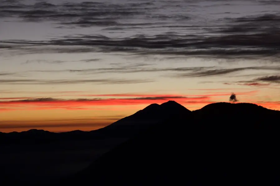
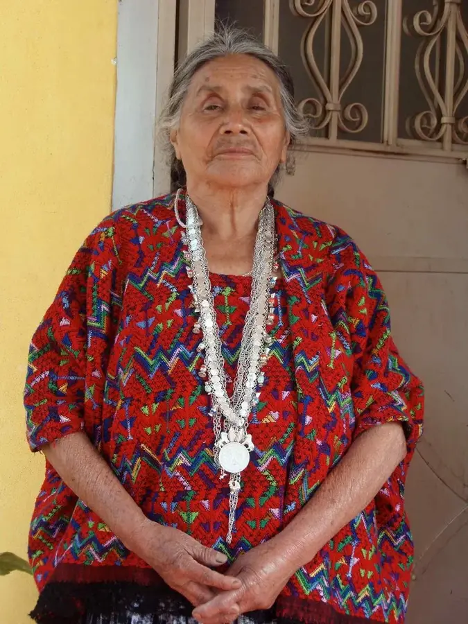
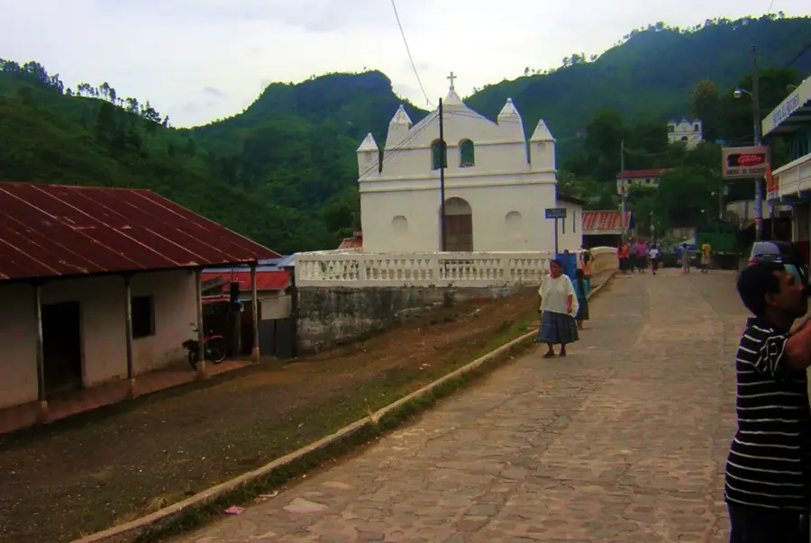
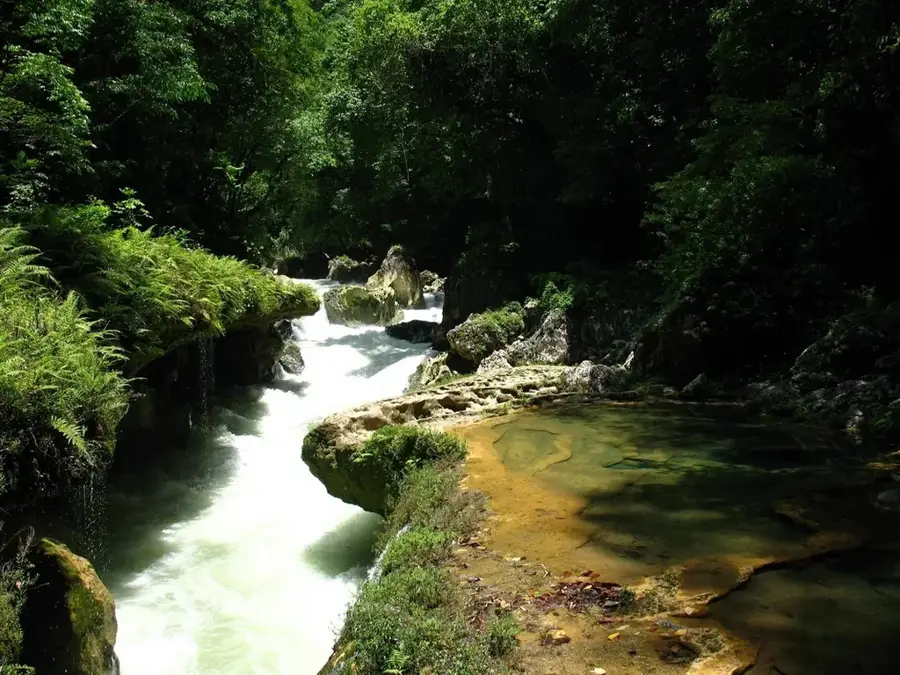
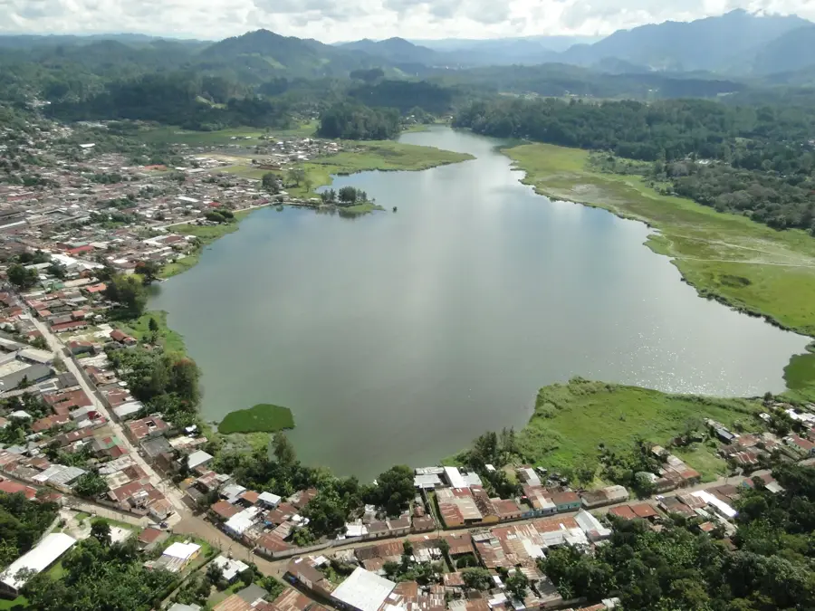
The southern area of Cerro Cahabón in Guatemala is a mountainous region defined by its dramatic karst landscapes and the complex system of the Cahabón River. This area in the Alta Verapaz department is famous for its steep limestone peaks, deep gorges, and extensive cave systems formed through erosion over millions of years. The Cahabón River itself is a lifeline for the region, utilized for both hydroelectric power generation and adventure tourism, particularly white-water rafting. Nearby lie the famous limestone terraces of Semuc Champey, which constitute a geological marvel. The region is covered in humid subtropical forests that boast high biodiversity and provide habitat for numerous endemic species. Culturally, the area is closely linked to the Q'eqchi' Maya people, who often regard the mountains and caves as sacred sites and employ traditional agricultural methods to cultivate the steep slopes.
- Location: Guatemala
- Nearby: San Benito (9 km)
Best time to visit & climate
The most pleasant time to visit is Feb, Mar, Dec.
| Jan | Feb | Mar | Apr | May | Jun | Jul | Aug | Sep | Oct | Nov | Dec | |
|---|---|---|---|---|---|---|---|---|---|---|---|---|
| Avg °C | 19 | 20 | 22 | 24 | 25 | 23 | 22 | 22 | 22 | 22 | 20 | 19 |
| Rain mm | 63 | 46 | 41 | 45 | 140 | 225 | 179 | 219 | 265 | 198 | 106 | 67 |
📋 Practical info
Geography
Facts
- The Cahabón River stretches for a length of approximately 196 kilometers.
- The region is home to the Chiquibul cave system, one of the largest in the region.
- Semuc Champey forms a natural limestone bridge over the river.
- The river is used to feed the Renace hydroelectric power project.
- The average elevation of the mountains in this zone is 1,000 to 1,500 meters.
- Lanquín is the most famous cave system in the immediate vicinity.
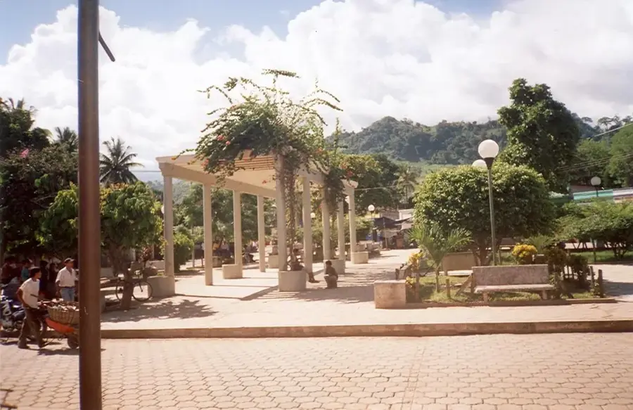
Explore nearby
Notable places around
Route planner — Car & Motorhome
Where do you start? We build the route here, with stops and country notes along the way.
© OpenStreetMap contributors · OpenRouteService
Sights nearby
Frequently asked questions
What is Cerro Cahabón South?
Can you visit caves there?
What is the difficulty level of the hikes?
Are there rare plants there?
Is there public transport?
Cerro Cahabón South: where is it located?
Cerro Cahabón South: when is the best time to visit?
Cerro Cahabón South: why is it worth visiting?

Nearby cities
Nature
More places