Plizio Visual Lab
Cahabón River
Weather…
Water temperature…
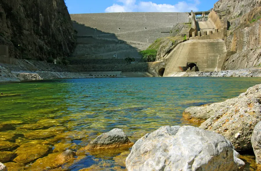
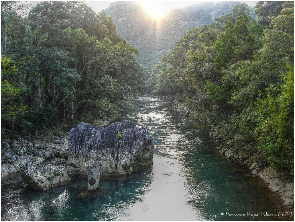
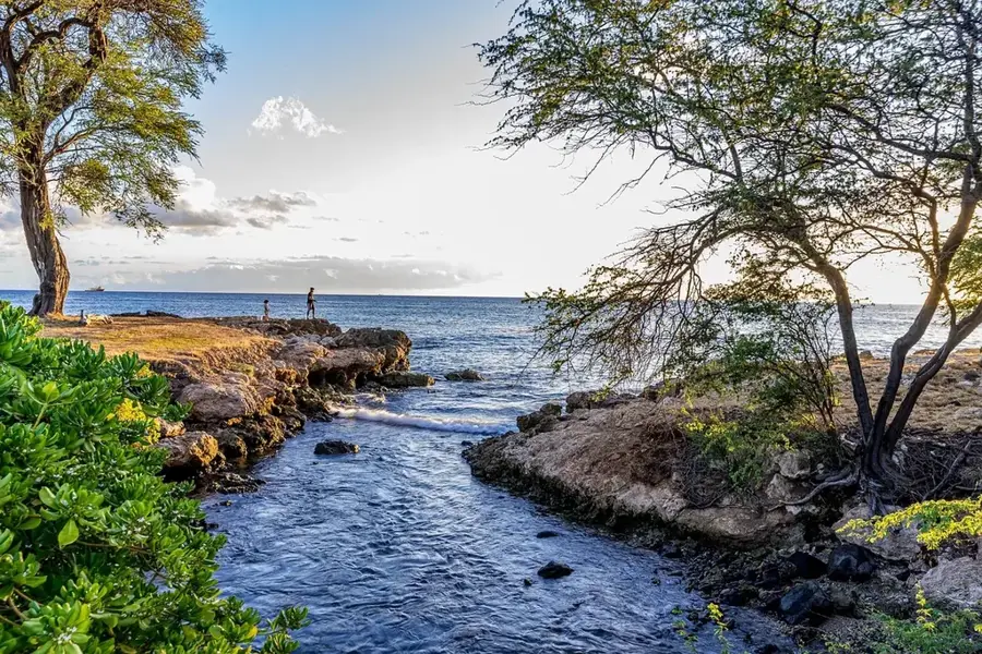
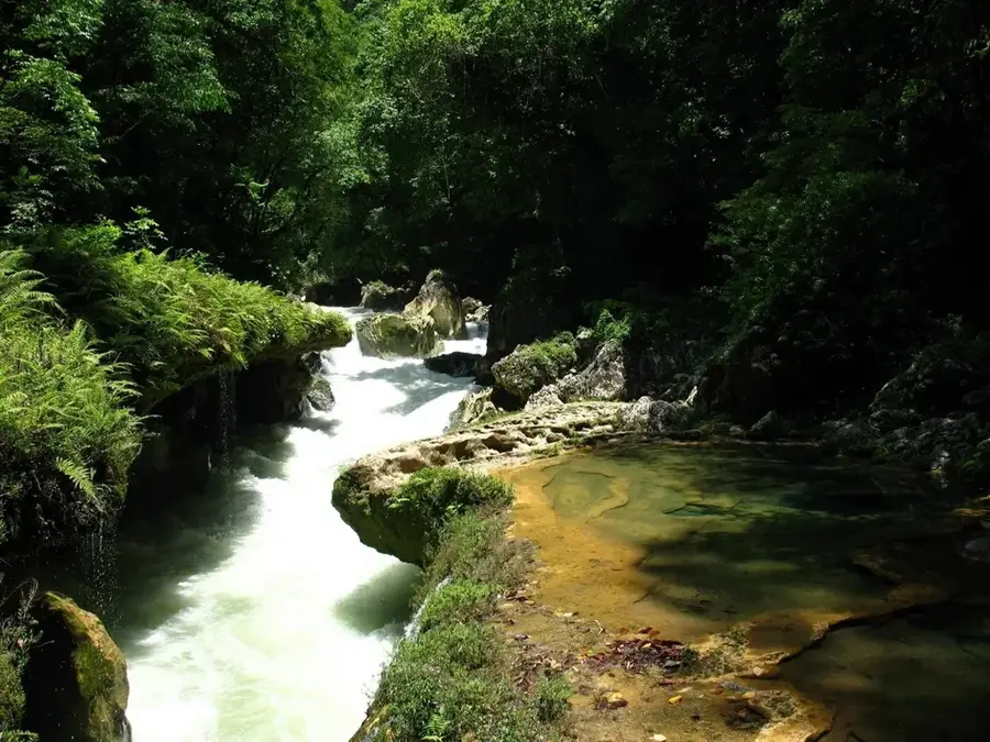
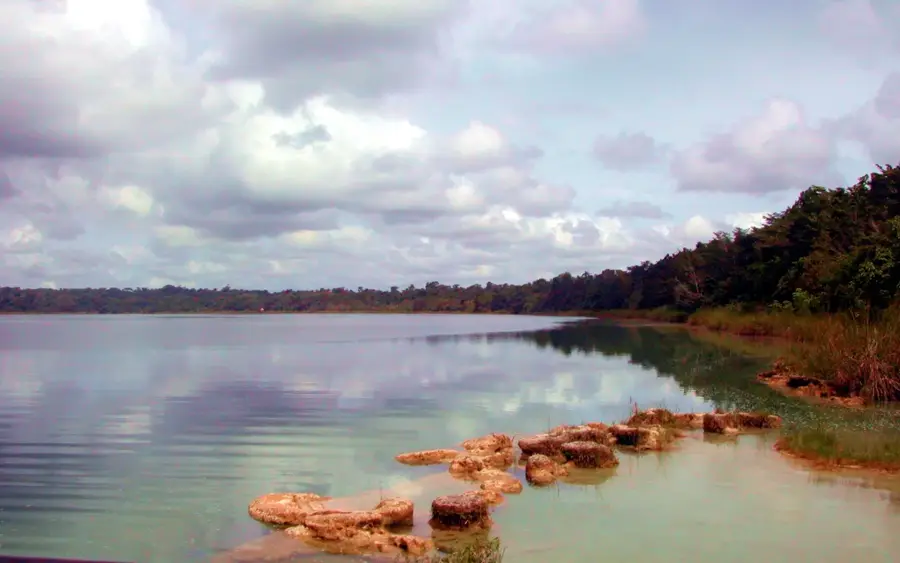
The Cahabón River is one of the most important rivers in the Alta Verapaz department and a major tributary of the Polochic River. It originates near Tactic and flows for approximately 196 kilometers through a rugged karst landscape. The river is world-renowned for the Semuc Champey section, where it flows beneath a natural limestone bridge topped with crystal-clear, turquoise pools. Beyond its ecological beauty, the Cahabón is a premier destination for whitewater rafting, featuring Class III and IV rapids that attract adventurers globally. The riverbanks are lined with tropical rainforest, hosting an enormous diversity of flora and fauna, including the quetzal and numerous orchid species. The river also plays a vital role in energy generation through hydroelectric projects, which has sparked ecological and social debates within the region.
- Location: Guatemala
- Nearby: San Benito (11 km)
Best time to visit & climate
The most pleasant time to visit is Feb, Mar, Dec.
| Jan | Feb | Mar | Apr | May | Jun | Jul | Aug | Sep | Oct | Nov | Dec | |
|---|---|---|---|---|---|---|---|---|---|---|---|---|
| Avg °C | 19 | 20 | 22 | 24 | 25 | 23 | 22 | 22 | 22 | 22 | 20 | 19 |
| Rain mm | 63 | 46 | 41 | 45 | 140 | 225 | 179 | 219 | 265 | 198 | 106 | 67 |
📋 Practical info
Geography
Facts
- The river drains a basin of approximately 2,459 square kilometers.
- The section beneath Semuc Champey is about 300 meters long.
- The rapids of the Cahabón are considered the best for rafting in Guatemala.
- It empties into the Polochic River, which eventually flows into Lake Izabal.
- The Alta Verapaz region is known for its high annual rainfall.
- The name Cahabón means 'between the painted stones' in the Q'eqchi' language.
Explore nearby
Notable places around
Route planner — Car & Motorhome
Where do you start? We build the route here, with stops and country notes along the way.
© OpenStreetMap contributors · OpenRouteService
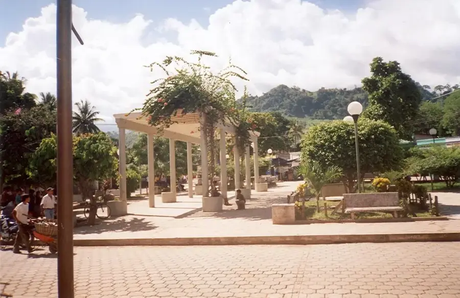
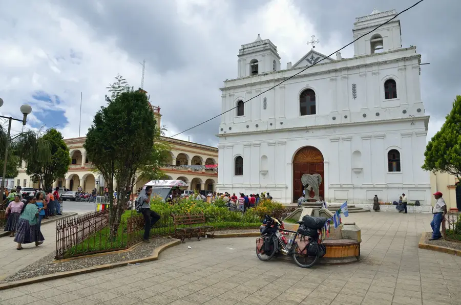
Sights in the town Cahabón River (1)
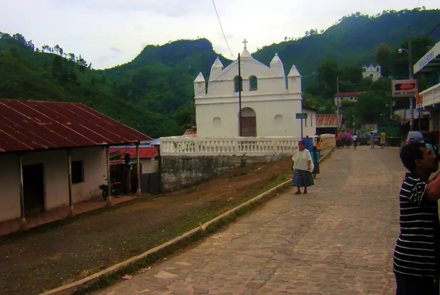
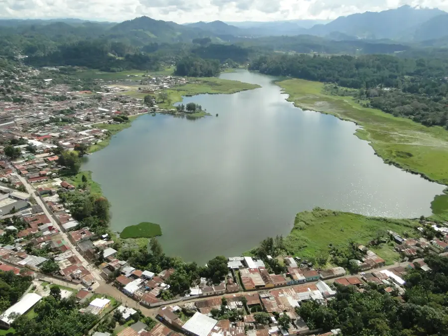
Sights nearby
Frequently asked questions
Can you go rafting on the Río Cahabón?
Does the river flow through Semuc Champey?
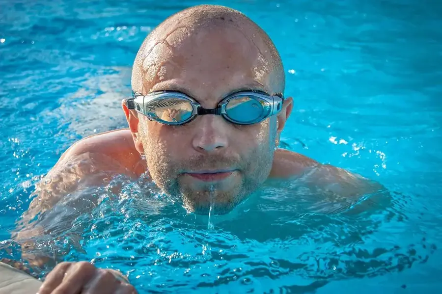
Is the water warm?
What is the best starting point?
Are there dangerous sections?
Cahabón River: where is it located?
Cahabón River: when is the best time to visit?
Cahabón River: why is it worth visiting?

Nearby cities
Nature
More places