Plizio Visual Lab
Motagua Valley

Weather…
Water temperature…
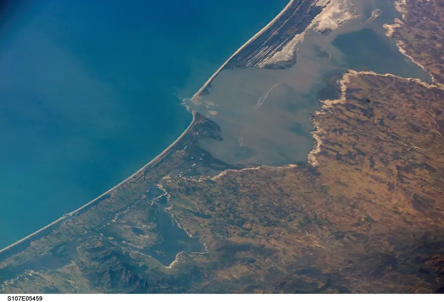
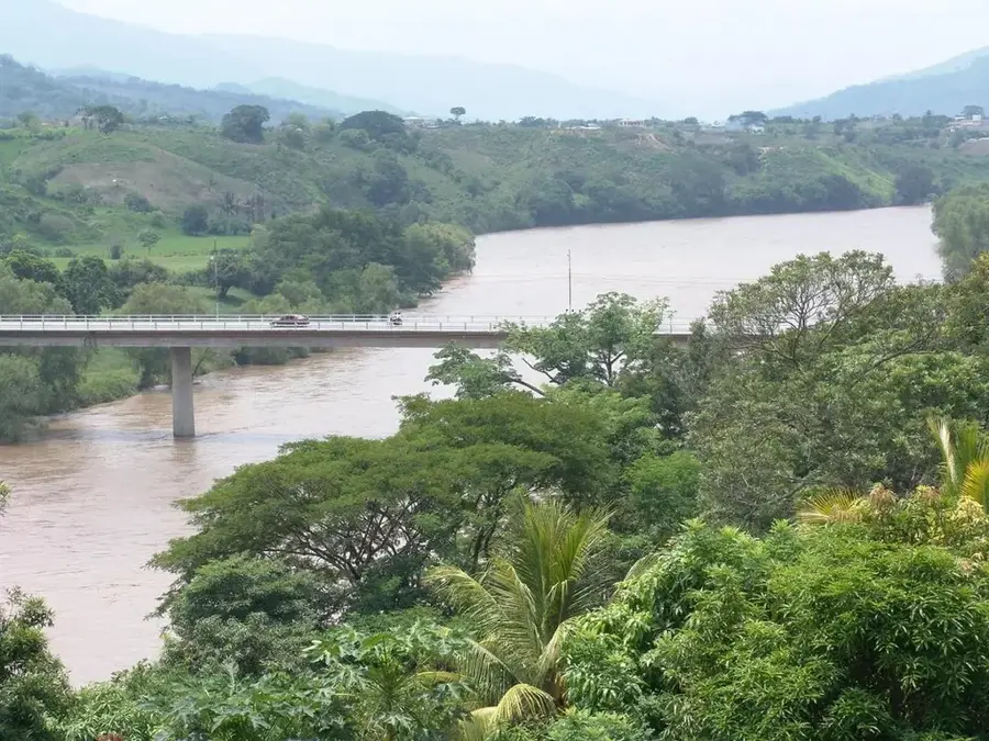
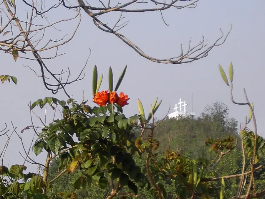
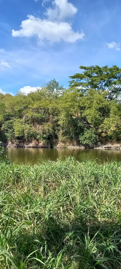
The Motagua Valley is a major geological and geographical depression in eastern Guatemala, formed by the course of the Motagua River. The valley marks the tectonic boundary between the North American and Caribbean plates, known as the Motagua Fault. This geological feature makes the region one of the most seismically active zones in the country. The climate within the valley varies significantly; while the western portion is semi-arid, characterized by cacti and thorn scrub, the eastern part towards the Caribbean is humid and tropical. Historically, the valley was of invaluable importance to the Maya civilization as it was the only significant source of jadeite in Mesoamerica. Today, the Motagua Valley is an important agricultural hub, producing bananas, melons, and tobacco for export. Scientists study the complex movements of the continental plates and the rich mineralogy of the region here.
- Location: Guatemala
- Nearby: Poptún (9 km)
Best time to visit & climate
The most pleasant time to visit is Feb, Mar, Dec.
| Jan | Feb | Mar | Apr | May | Jun | Jul | Aug | Sep | Oct | Nov | Dec | |
|---|---|---|---|---|---|---|---|---|---|---|---|---|
| Avg °C | 20 | 21 | 23 | 25 | 25 | 24 | 23 | 23 | 23 | 22 | 21 | 20 |
| Rain mm | 58 | 45 | 38 | 43 | 133 | 200 | 171 | 193 | 223 | 169 | 101 | 63 |
📋 Practical info
Geography
Facts
- The Motagua River is the longest in Guatemala at 486 km.
- The valley lies directly on the boundary between two tectonic plates.
- It is the world's most significant source of jadeite jade.
- Annual rainfall varies from 500 mm to over 2,000 mm within the valley.
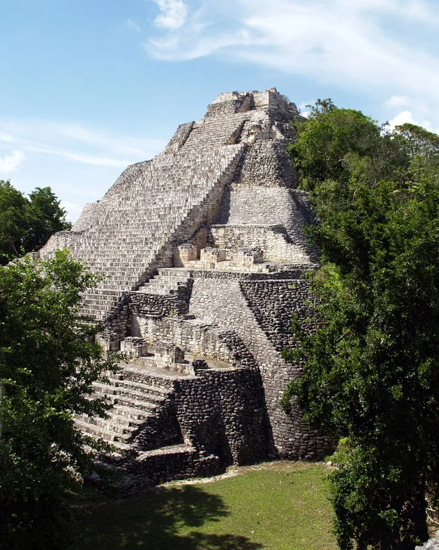
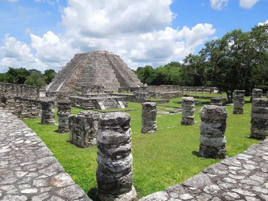
- Archaeological sites such as Quiriguá are located in this valley.
- The 1976 earthquake had its epicenter in the Motagua Fault.
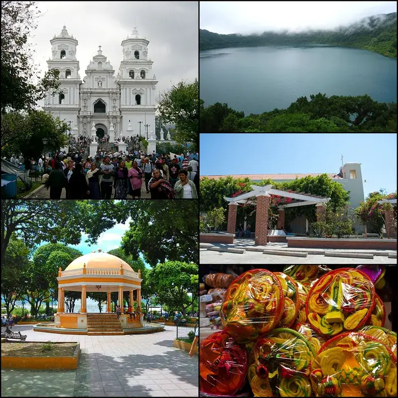
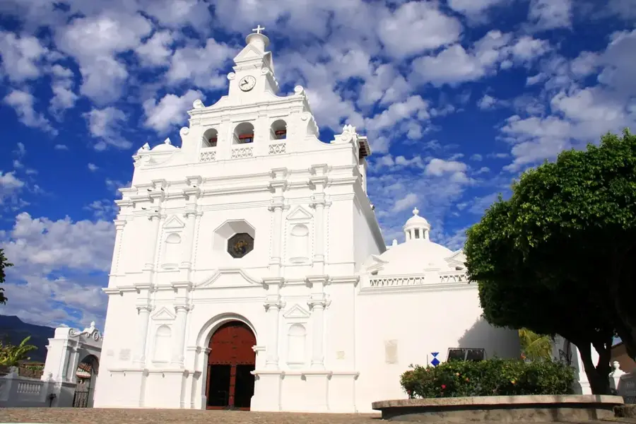
Explore nearby
Notable places around
Route planner — Car & Motorhome
Where do you start? We build the route here, with stops and country notes along the way.
© OpenStreetMap contributors · OpenRouteService
Sights nearby
Frequently asked questions
What is the Motagua Valley?
What is the valley known for?
What is the climate in the valley?
Are there museums there?
What archaeological sites are located here?
Motagua Valley: where is it located?
Motagua Valley: when is the best time to visit?
Motagua Valley: why is it worth visiting?

Nearby cities


History & landmarks
Nature
More places