Plizio Visual Lab
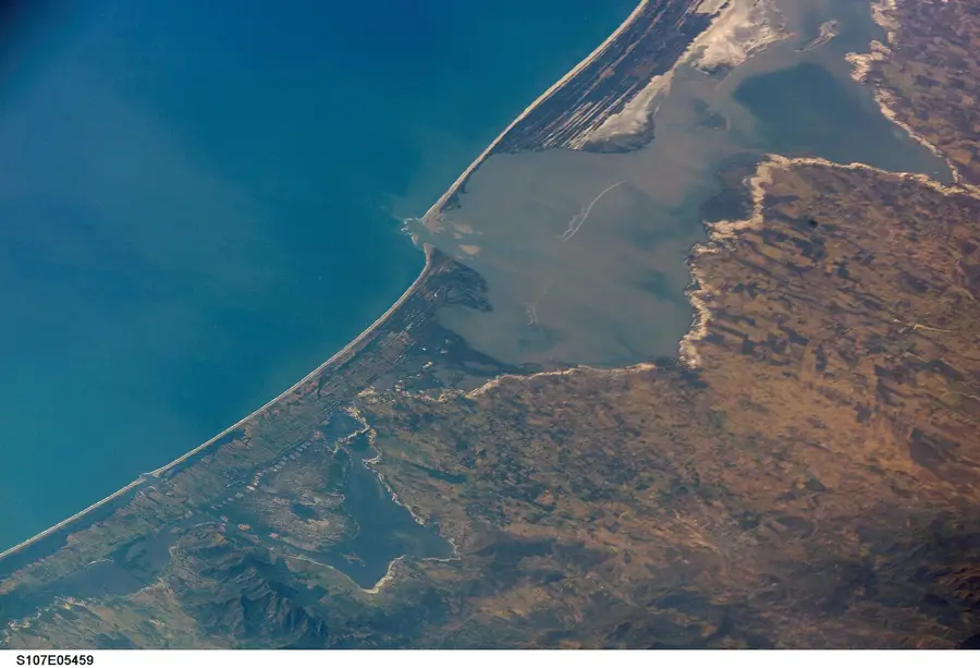
Sierra de las Minas

Weather…
Water temperature…
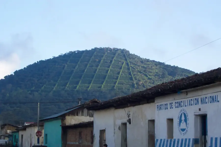
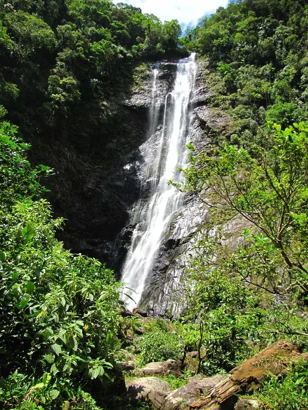
Sierra de las Minas is a mountain range in eastern Guatemala, stretching across the departments of El Progreso, Zacapa, Alta Verapaz, and Izabal. It hosts the largest cloud forest area in Central America and was declared a Biosphere Reserve in 1990. The range is approximately 130 kilometers long and reaches a maximum elevation of 3,015 meters at Cerro Raxón. Geologically, the region is of great significance as it contains rich deposits of jade and marble, as well as various ores, which gave the range its name ('Mountain of the Mines'). The mountains act as a vital water catchment for more than 60 rivers that irrigate the surrounding lands. Biodiversity is exceptionally high; the Sierra is one of the last refuges for the resplendent quetzal and the jaguar. Due to the extreme elevational gradient, the climate varies from semi-arid in the lower Motagua Valley to extremely humid in the summit regions. Conservation programs today focus on combating illegal logging and promoting sustainable agriculture.
- Location: Guatemala
- Nearby: Asunción Mita (7 km)
Best time to visit & climate
The most pleasant time to visit is Feb, Mar, Dec.
| Jan | Feb | Mar | Apr | May | Jun | Jul | Aug | Sep | Oct | Nov | Dec | |
|---|---|---|---|---|---|---|---|---|---|---|---|---|
| Avg °C | 20 | 21 | 23 | 25 | 25 | 24 | 23 | 23 | 23 | 22 | 21 | 20 |
| Rain mm | 58 | 45 | 38 | 43 | 133 | 200 | 171 | 193 | 223 | 169 | 101 | 63 |
📋 Practical info
Geography
Facts
- The Biosphere Reserve was officially established in 1990.
- The highest point is Cerro Raxón at 3,015 meters.
- More than 60 rivers originate in this mountain range.
- It hosts 70% of the bird species found in Guatemala.
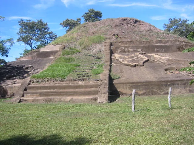
- The jade deposits were among the most important sources for the Maya civilization.
- The protected area includes a core zone of over 2,400 square kilometers.
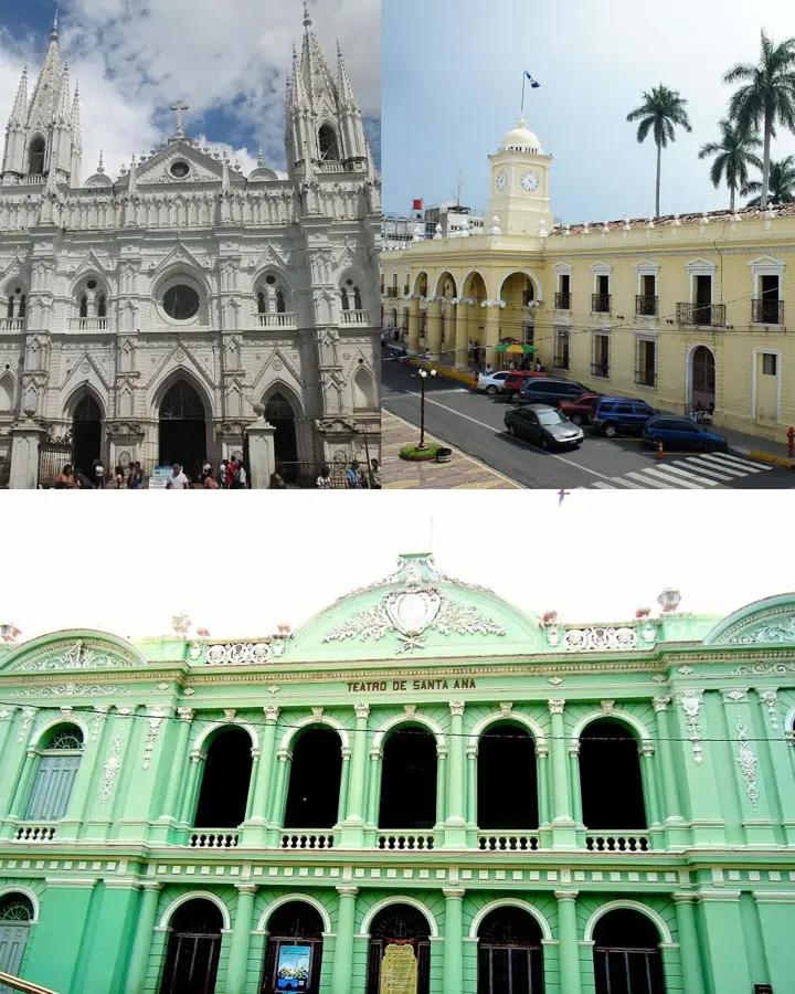
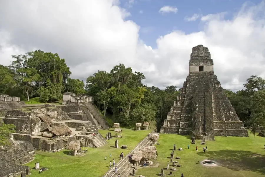
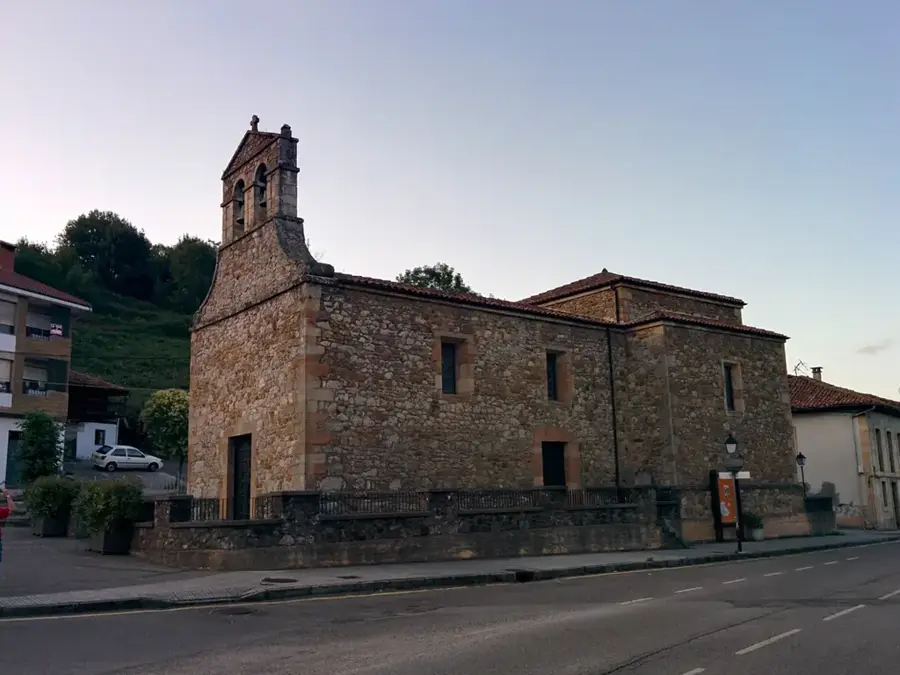
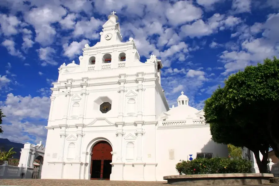
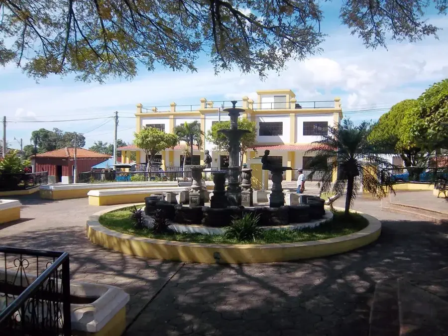
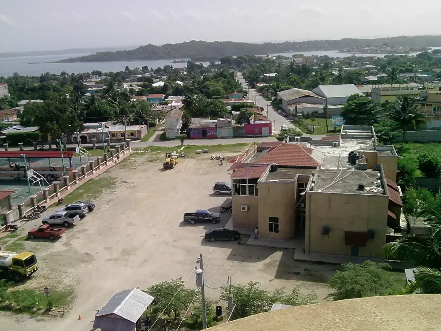
Explore nearby
Notable places around
Route planner — Car & Motorhome
Where do you start? We build the route here, with stops and country notes along the way.
© OpenStreetMap contributors · OpenRouteService
Sights nearby
Frequently asked questions
Why is this mountain range so important?
Can you see the Quetzal bird there?
Is hiking difficult there?
Do I need a permit to visit?
Is there mining there?
Sierra de las Minas: where is it located?
Sierra de las Minas: when is the best time to visit?
Sierra de las Minas: why is it worth visiting?

Nearby cities


Nature
More places