Plizio Visual Lab
Jacaltenango
ℹ️Practical info — Jacaltenango
▾
🌤 Weather — 5 days
📍 Nearby
Sights nearby
💡 Tips
- The town is set in a steep valley; be prepared for winding roads on the approach.
- The Jakaltek (Popti') Maya culture is prominent here; respect local traditions and ask permission before taking photos of people.
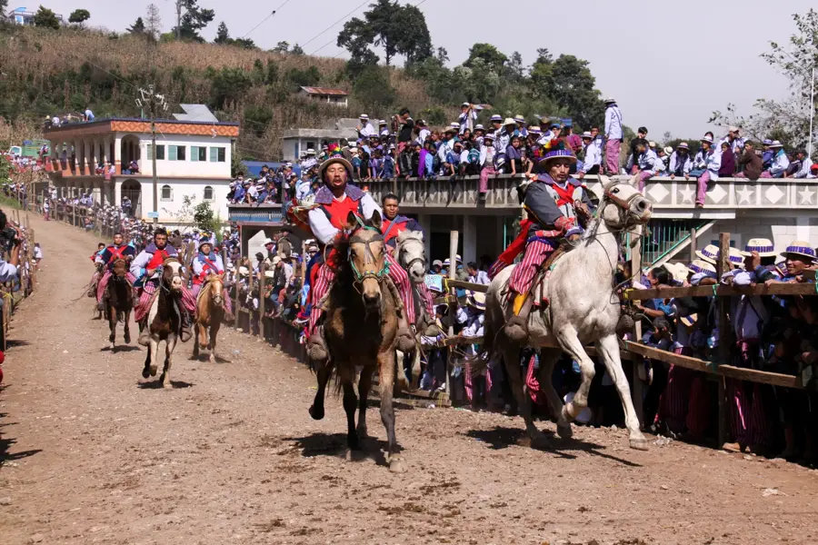
- Visit during the patron saint festival (usually around February) for spirited traditional dances and music.
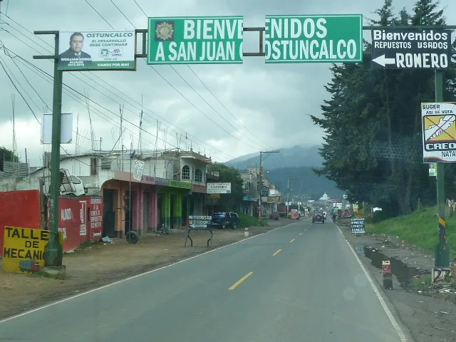
- Transport from Huehuetenango is mostly via microbuses; travel during the day for safety and the scenic views.
- The climate here is warmer and more tropical due to its lower elevation compared to the highlands.
🍽 Food
A hearty hen soup, very popular at the simple eateries (comedores) around the market area.
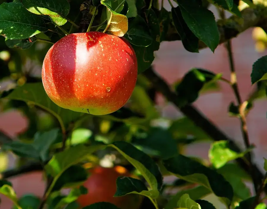
Buy fresh mangos and citrus fruits at the local market; they thrive in this warmer valley climate.
A sweet, warm corn beverage, best enjoyed in the mornings at the market stalls.
🛍 Shopping · 🧘 Quiet spots
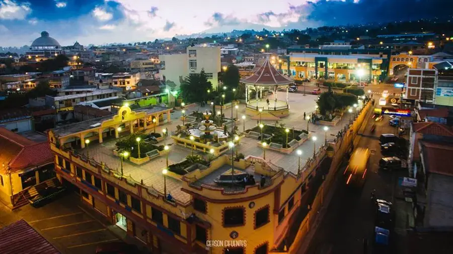
The hub of daily life. Here you'll find fresh produce and occasionally some local crafts.
Buy coffee beans directly from local vendors; they are grown right on the slopes of the valley.
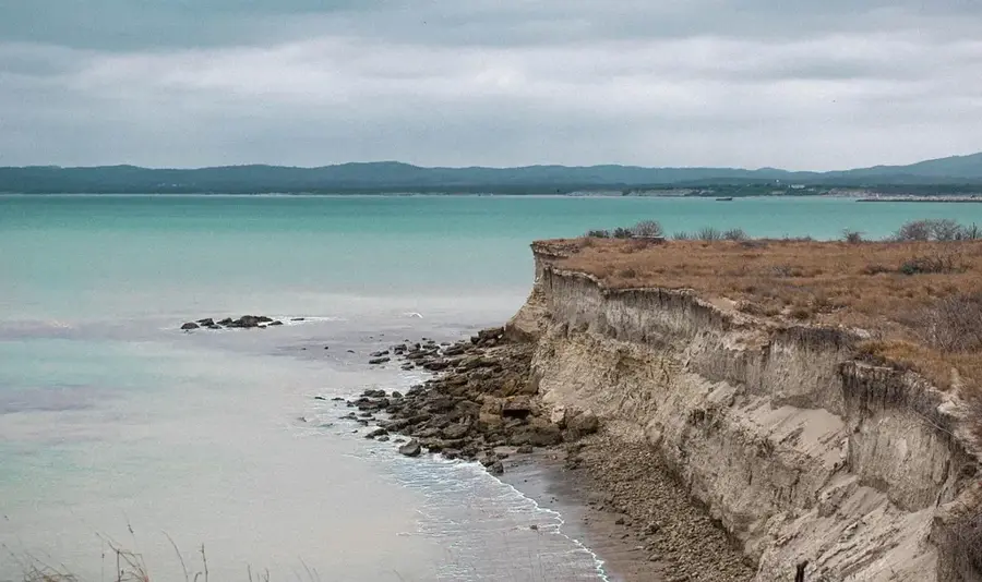
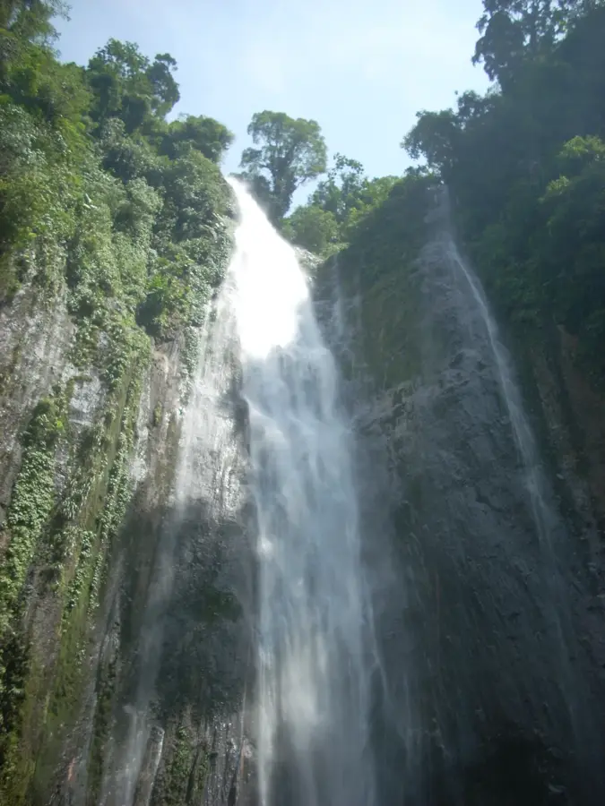
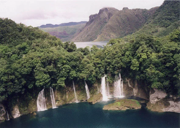
A nearby photogenic river offering quiet spots for a nature walk or a refreshing dip.
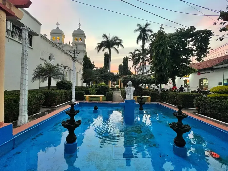
A quiet place to sit under the shade and observe the slow, peaceful pace of life in the town.
Water temperature…
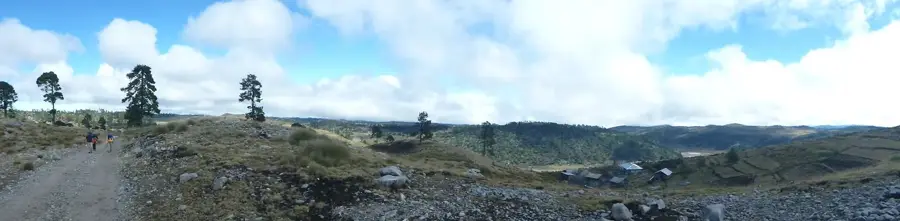
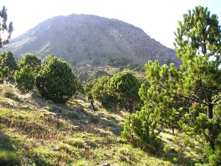
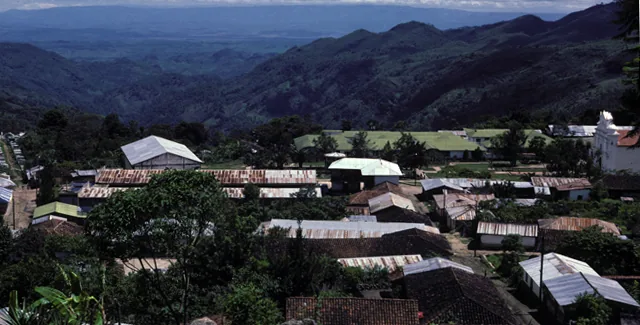
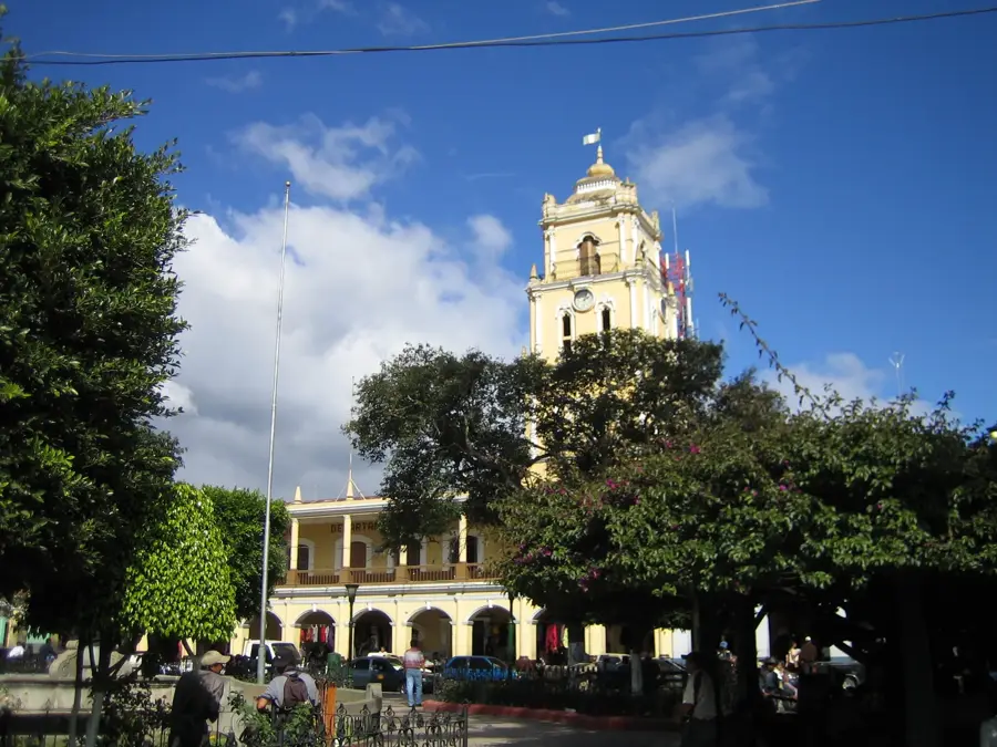
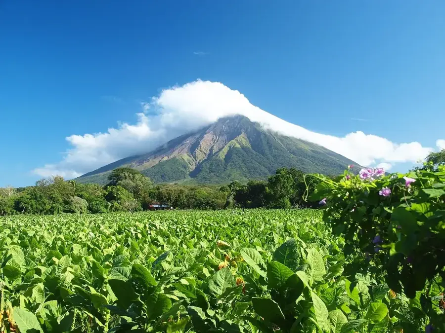
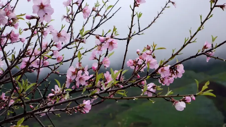
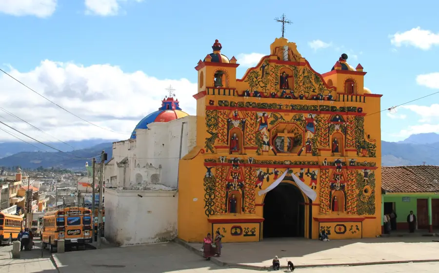
Jacaltenango is located in the remote western foothills of the Sierra de los Cuchumatanes in the Huehuetenango Department. The city serves as the cultural heart of the Jakaltek Maya people, also known as Popti', whose language and customs remain a vital part of daily life. Its geography is defined by rugged mountain terrain and steep valleys, which historically kept the region relatively isolated and helped preserve its cultural authenticity over centuries. Settled since pre-Columbian times, Jacaltenango later became an important center for religious missions during the Spanish colonial period. The local economy relies heavily on agriculture, with high-quality highland coffee being the most significant export commodity. Culturally, the city is famous for its traditional festivities, particularly those honoring the Virgin of Candelaria in February, which feature elaborate costumes and traditional music. The area is also noted for its textile artistry, with patterns that often represent symbolic elements of the Mayan worldview. Despite the challenges of its remote location, the city has evolved into a key regional hub for education and trade in western Huehuetenango.
- Location: Guatemala
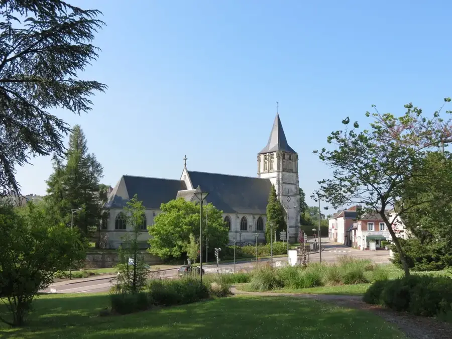
- Top sights: EUPHORIA JAKAL · Parque Regional Municipal Bosque Tz'ahab' Tonh · Puente Viejo del Rio Azul
- Nearby: Concepción Chiquirichapa (10 km)
- Population: ~37.171 (2023)
Best time to visit & climate
The most pleasant time to visit is Feb–Apr.
| Jan | Feb | Mar | Apr | May | Jun | Jul | Aug | Sep | Oct | Nov | Dec | |
|---|---|---|---|---|---|---|---|---|---|---|---|---|
| Avg °C | 14 | 15 | 17 | 19 | 19 | 18 | 17 | 17 | 17 | 17 | 15 | 14 |
| Rain mm | 12 | 9 | 20 | 46 | 165 | 279 | 189 | 258 | 321 | 232 | 50 | 15 |
Geography
Facts
- Center of the Jakaltek Maya people (Popti').
- Located within the Huehuetenango Department.
- Situated in the Sierra de los Cuchumatanes mountains.
- Famous for premium highland coffee production.
- Celebrates the Virgin of Candelaria in February.
- Preserves unique indigenous musical traditions.
Explore nearby
Notable places around
Route planner — Car & Motorhome
Where do you start? We build the route here, with stops and country notes along the way.
© OpenStreetMap contributors · OpenRouteService
Sights in the town Jacaltenango (6)
Frequently asked questions
What is special about Jacaltenango?
How do you reach this remote place?
Are there known handicrafts?
What is the landscape like around the city?
When is the patron saint festival celebrated?
Jacaltenango: where is it located?
Jacaltenango: what is there to see?
Jacaltenango: when is the best time to visit?
Jacaltenango: why is it worth visiting?

Nearby cities

History & landmarks
Nature
More places