Plizio Visual Lab
Laguna Brava (Yolnabaj)
Weather…
Water temperature…
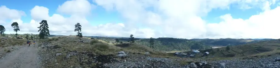
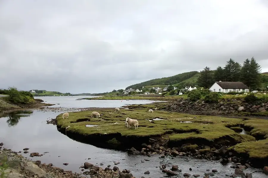
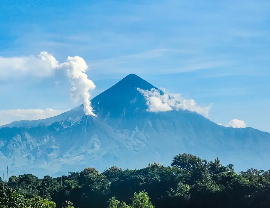
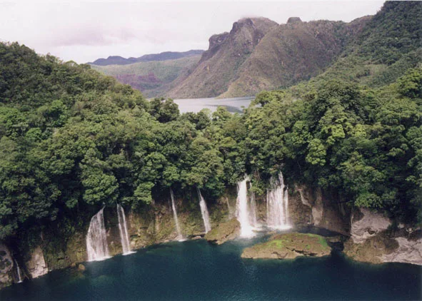
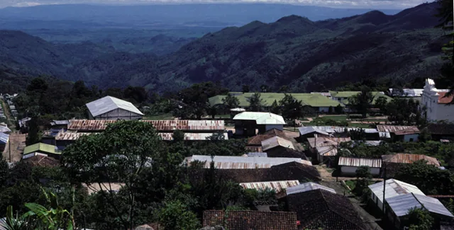
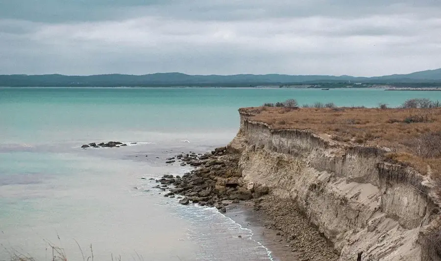
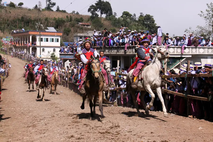
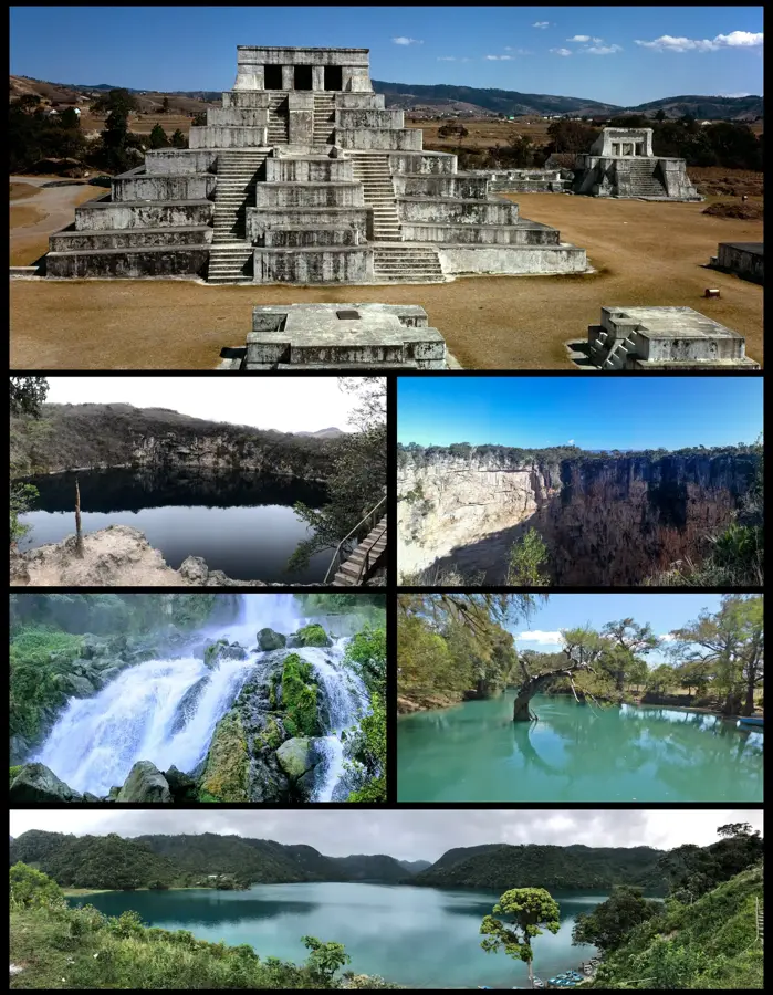
Laguna Brava, also known by its indigenous name Yolnabaj, is a spectacular karstic lake located in the Huehuetenango department, near the border with Mexico. Situated at an elevation of approximately 1,142 meters, it is the second-largest highland lake in Guatemala, renowned for its crystal-clear turquoise waters. The lake is surrounded by steep, dense cloud forests and rugged limestone cliffs, giving it an isolated and mystical atmosphere. Geologically, the basin was formed by the collapse of limestone layers, a classic feature of the Sierra de los Cuchumatanes region. Due to its remote location, access is challenging, often requiring long hikes or 4x4 vehicles, which has helped preserve its pristine natural state. The surrounding area features several smaller waterfalls and cenotes that feed into the lake's hydrological system. For the local Chuj Maya communities, the lake is a sacred site and a vital symbol of their cultural identity and deep connection to the natural environment.
- Location: Guatemala
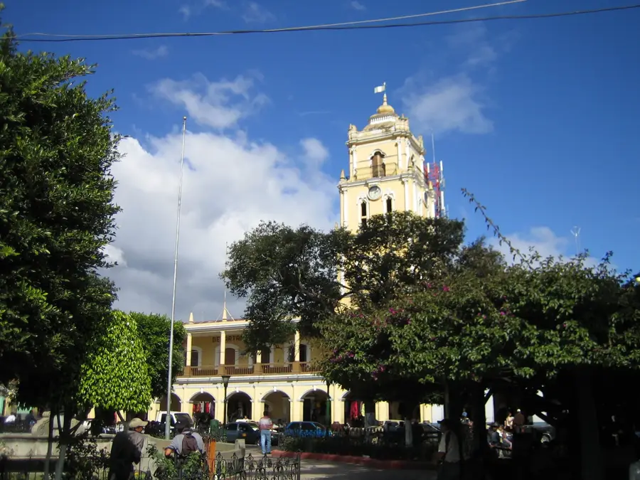
- Top sights: Museo Cultural Tziscao · Lago Pojoj · Isla de las Orquídeas
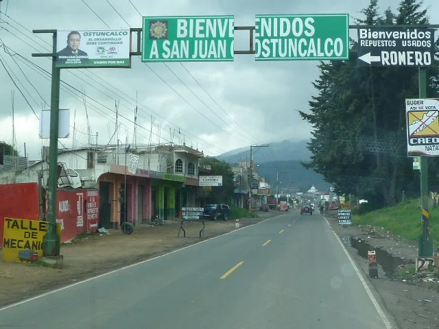
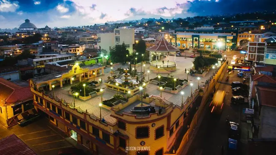
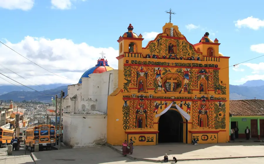
- Nearby: Ostuncalco (5 km)
Best time to visit & climate
The most pleasant time to visit is Feb, Mar, Dec.
| Jan | Feb | Mar | Apr | May | Jun | Jul | Aug | Sep | Oct | Nov | Dec | |
|---|---|---|---|---|---|---|---|---|---|---|---|---|
| Avg °C | 18 | 20 | 22 | 24 | 24 | 22 | 22 | 22 | 22 | 21 | 19 | 18 |
| Rain mm | 25 | 16 | 19 | 36 | 137 | 251 | 158 | 229 | 293 | 182 | 53 | 28 |
📋 Practical info
Geography
Facts
- Laguna Brava is situated at an elevation of exactly 1,142 meters above sea level.
- The lake stretches for approximately 5 kilometers in an east-west direction.
- The name 'Yolnabaj' originates from the Chuj language, meaning 'inside the lake'.
- The water derives its distinctive turquoise color from dissolved limestone minerals.
- The average temperature in the region is relatively cool, ranging from 12°C to 20°C.
- There are no major surface outlets; the lake is drained through subterranean channels.
Explore nearby
Notable places around
Route planner — Car & Motorhome
Where do you start? We build the route here, with stops and country notes along the way.
© OpenStreetMap contributors · OpenRouteService
Sights in the town Laguna Brava (Yolnabaj) (5)
Sights nearby
Frequently asked questions
Is Laguna Brava easily accessible by car?
Can you camp there?
When is the weather most stable?
Is there food available?
Is the water suitable for swimmers?
Laguna Brava (Yolnabaj): where is it located?
Laguna Brava (Yolnabaj): what is there to see?
Laguna Brava (Yolnabaj): when is the best time to visit?
Laguna Brava (Yolnabaj): why is it worth visiting?

Nearby cities

History & landmarks
More places