Plizio Visual Lab
San Mateo Ixtatán
ℹ️Practical info — San Mateo Ixtatán
▾
🌤 Weather — 5 days
📍 Nearby
Sights nearby
💡 Tips
- Prepare for high altitude and cold weather; heavy layers are essential.
- The town is historically significant for its ancient Maya salt mines; ask locals for the path to the traditional salt wells.
- The primary language here is Chuj; while Spanish is spoken, learning a few words of Chuj is highly appreciated.
- Roads can be rough and winding; travel during daylight hours for safety and better views.
- Respect local customs and traditional Maya ceremonies if you happen to witness them.
🍽 Food
The town is famous for this unique artisanal salt; try it sprinkled on local dishes.
Beef soup with vegetables, great for the cold climate, served in simple comedores.
Hand-patted black corn tortillas, a local staple.
🛍 Shopping · 🧘 Quiet spots
Buy the local artisanal black salt directly from the producers or the town market.
Traditional woven goods unique to the Chuj Maya people.
A historic and peaceful area where salt has been harvested for centuries.
Hike into the hills for wide-open, rugged landscapes and solitude.
Water temperature…
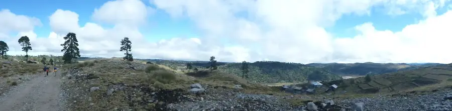
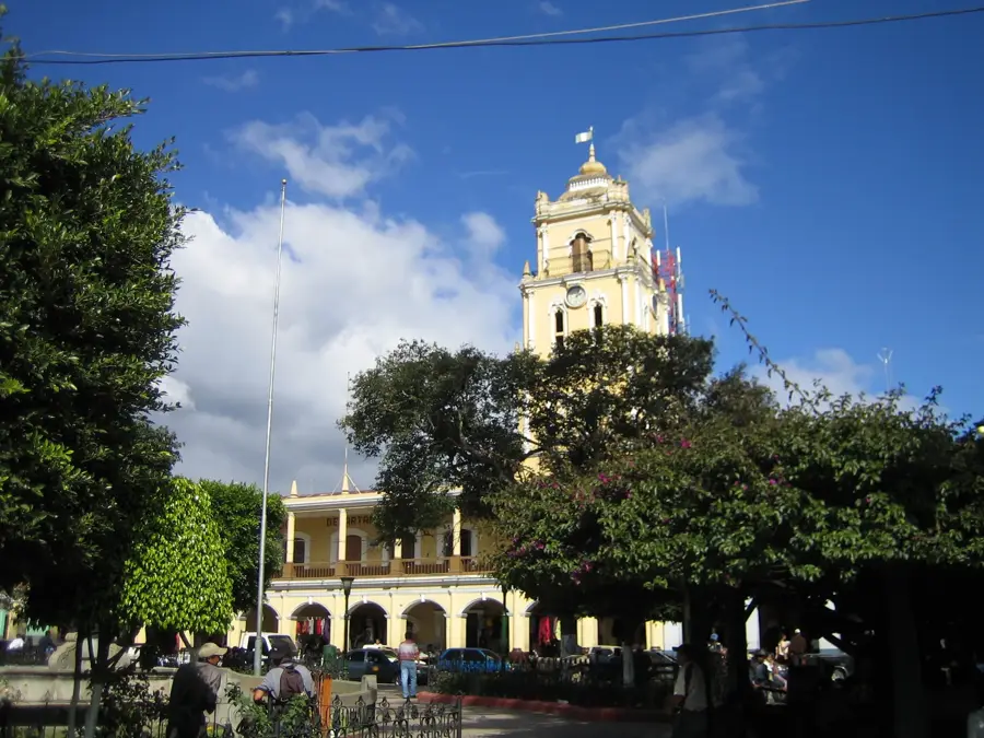
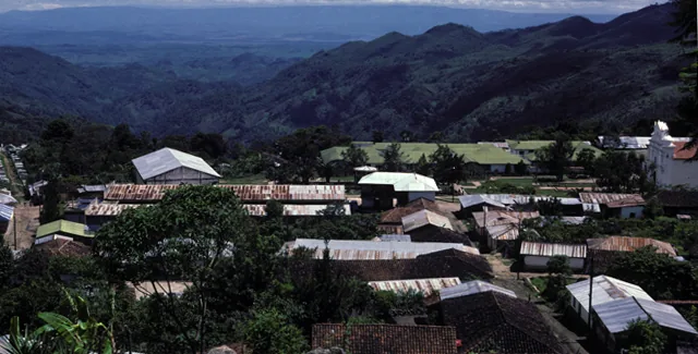
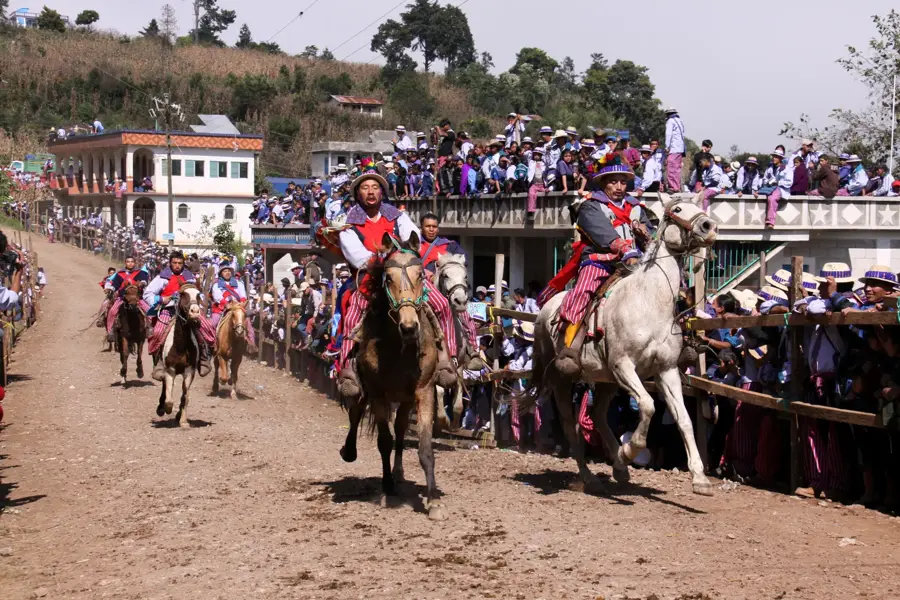
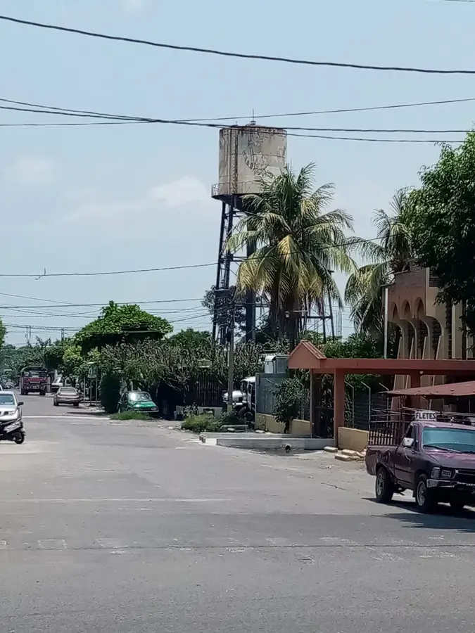
San Mateo Ixtatán is a remarkable highland municipality in the Huehuetenango department, perched high in the Cuchumatanes Mountains at an elevation of over 2,500 meters. It serves as the primary cultural and spiritual hub for the Chuj Mayan people, who have maintained their unique traditions and language for over a thousand years. Historically, the town was famous across the Mayan world for its salt springs, which provided a strategic resource for trade and ritual use. The ancient ruins of Wajxaklajun, located within the town's urban area, testify to its importance as a major ceremonial center since the Classic period. Geographically, the region is defined by its rugged terrain, cold climate, and persistent mountain mists. The local economy is based on highland agriculture and the continued extraction of "black salt" using ancestral methods. Despite its remote location, San Mateo Ixtatán is a bustling community where traditional dress and Mayan spiritual practices remain a fundamental part of daily life.
- Location: Guatemala
- Nearby: El Palmar (4 km)
- Population: ~13.213 (2020)
Best time to visit & climate
The most pleasant time to visit is Feb, Mar, Dec.
| Jan | Feb | Mar | Apr | May | Jun | Jul | Aug | Sep | Oct | Nov | Dec | |
|---|---|---|---|---|---|---|---|---|---|---|---|---|
| Avg °C | 18 | 20 | 22 | 24 | 24 | 22 | 22 | 22 | 22 | 21 | 19 | 18 |
| Rain mm | 25 | 16 | 19 | 36 | 137 | 251 | 158 | 229 | 293 | 182 | 53 | 28 |
Geography
Facts
- San Mateo Ixtatán sits at an elevation of 2,540 meters in the Cuchumatanes range.
- The town's name translates to 'Place of Salt' in the local Mayan dialect.
- Wajxaklajun is one of the few Mayan ruins located in the heart of a modern town.
- The Chuj people are the third largest Mayan group in the department of Huehuetenango.
- The area is known for its high-quality sheep wool and traditional textile production.
- Salt produced here was historically traded as far away as the lowlands of Mexico.
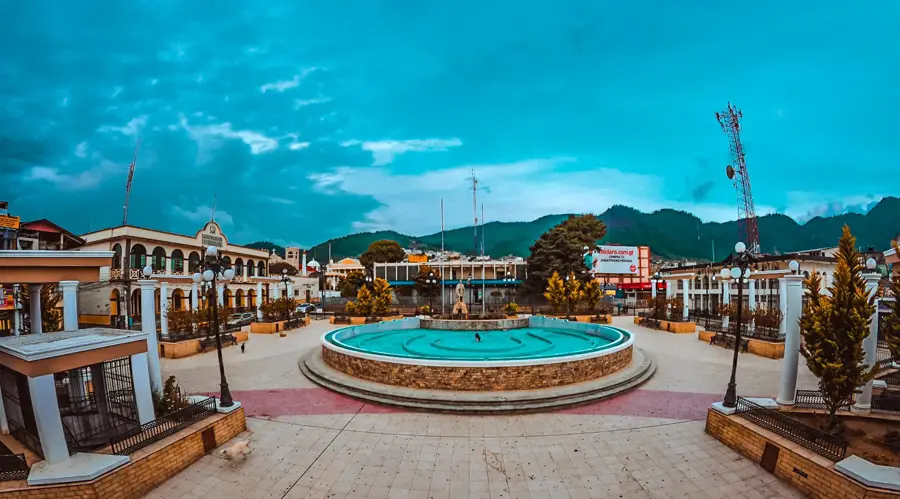
Explore nearby
Notable places around
Route planner — Car & Motorhome
Where do you start? We build the route here, with stops and country notes along the way.
© OpenStreetMap contributors · OpenRouteService
Frequently asked questions
What is San Mateo Ixtatán known for?
Can you visit the salt mines?
Are there archaeological sites nearby?
What is the climate like up there?
How difficult is the journey?
San Mateo Ixtatán: where is it located?
San Mateo Ixtatán: when is the best time to visit?
San Mateo Ixtatán: why is it worth visiting?

Nearby cities
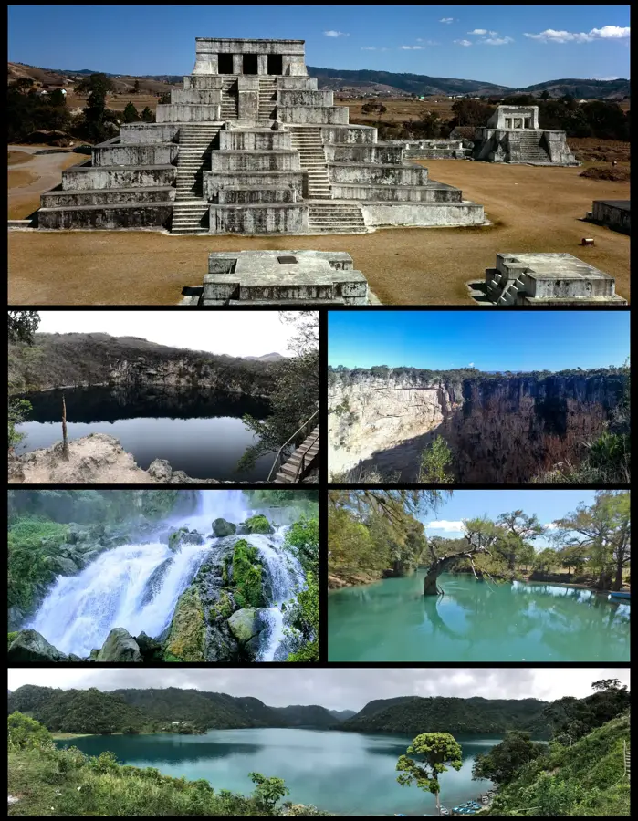

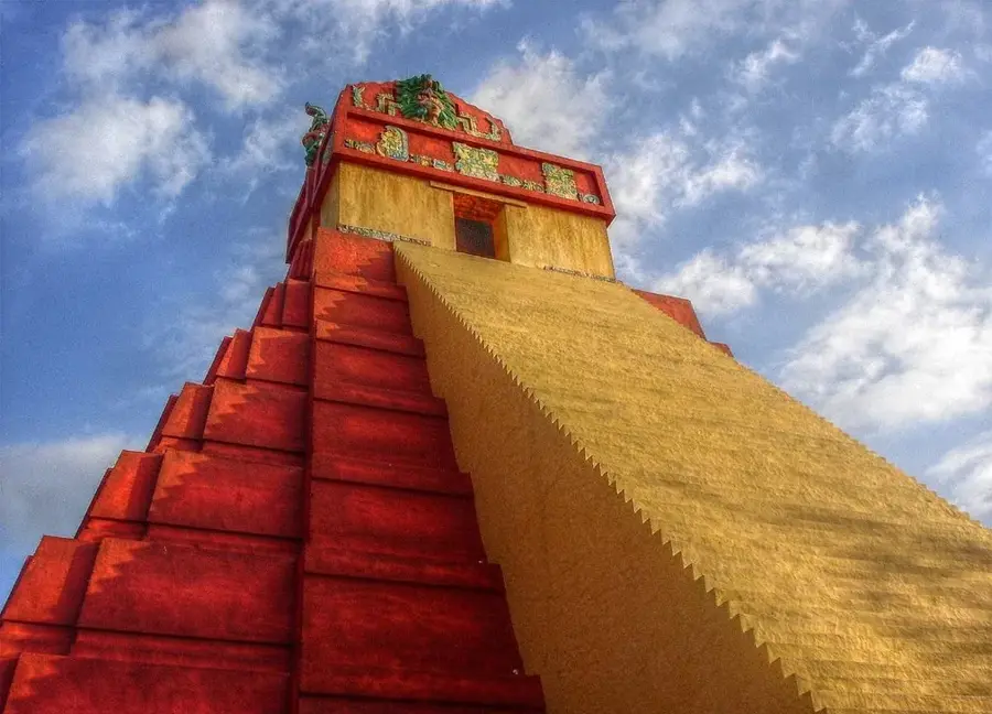
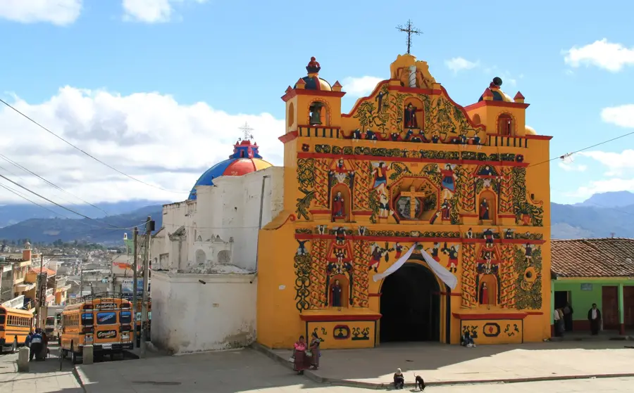
History & landmarks
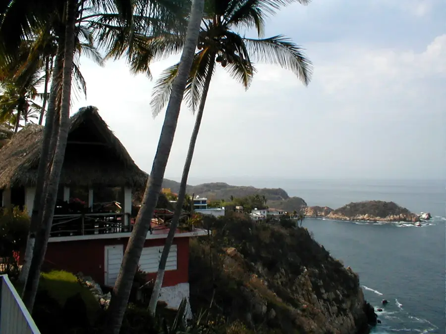
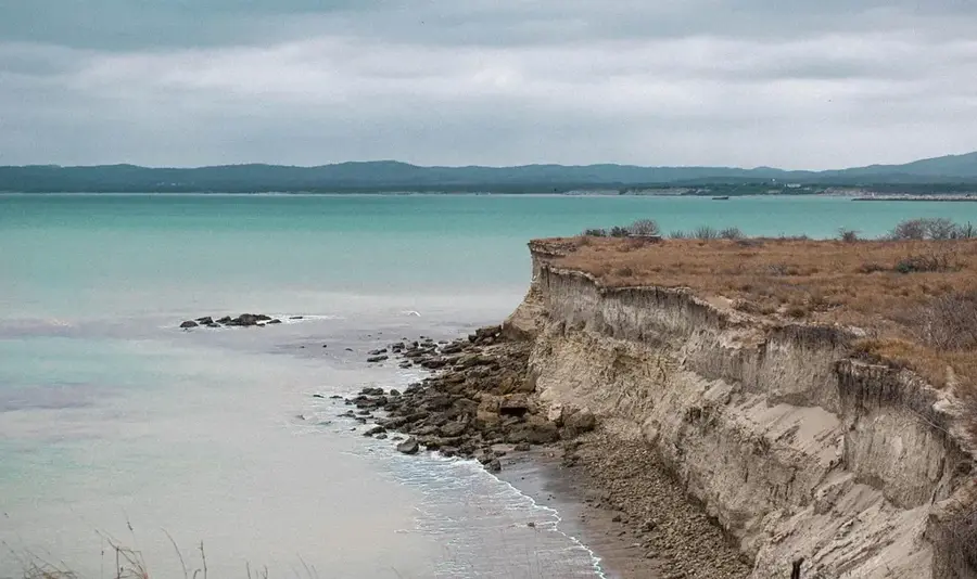
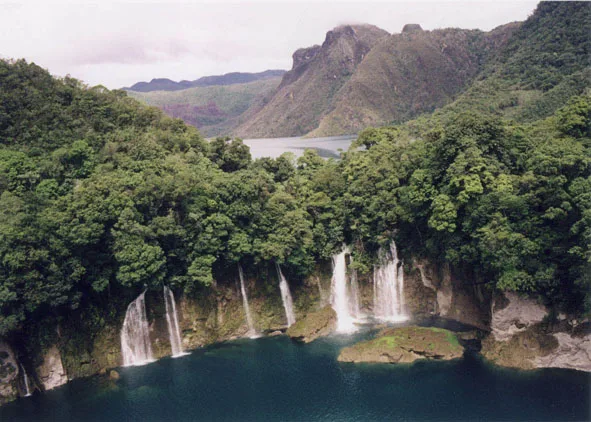
Nature
More places