Plizio Visual Lab
Sierra de los Cuchumatanes
Weather…
Water temperature…
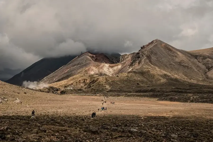
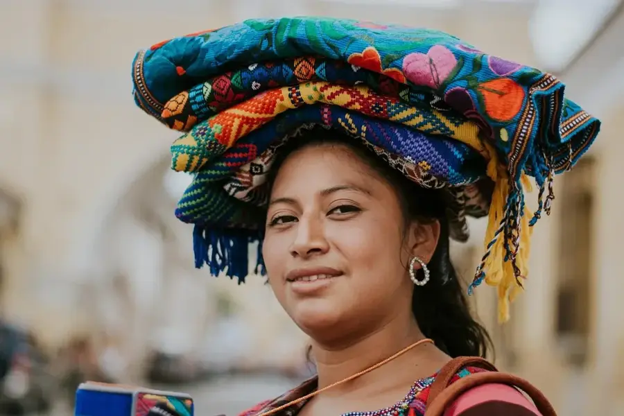
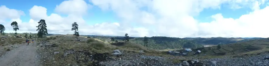
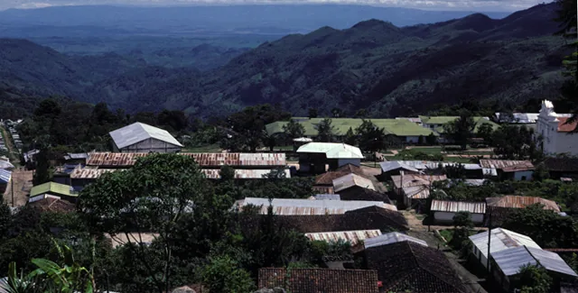
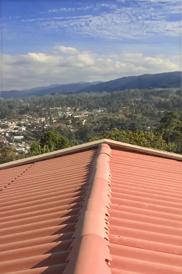
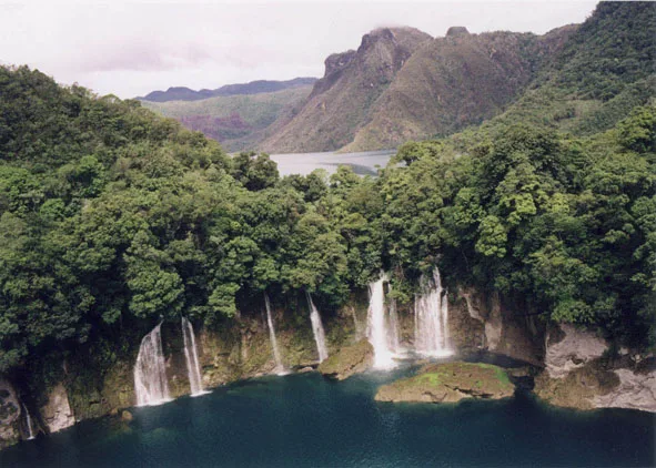
The Sierra de los Cuchumatanes is the highest non-volcanic mountain massif in Central America, located in northwestern Guatemala, primarily in the Huehuetenango Department. It covers an area of approximately 16,350 square kilometers and reaches an elevation of 3,837 meters at the site known as La Torre. Unlike the volcanic south, this massif is predominantly composed of limestone and sedimentary rocks from the Cretaceous period. The landscape is characterized by extensive plateaus, deep canyons, and alpine meadows locally referred to as 'páramos.' Due to the altitude, a cool climate prevails, with frequent frost in the winter months, which is unusual for the tropics. The region is an important center of the indigenous Mam culture, which has practiced sheep farming and potato cultivation here for centuries. Ecologically, the range is known for its endemic amphibian species and specialized high-altitude flora. It also serves as a critical watershed for the north of the country.
- Location: Guatemala
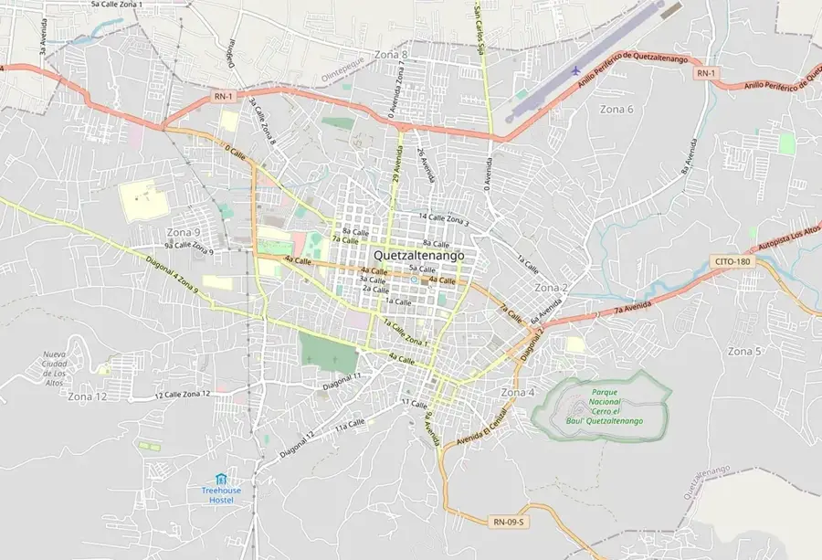
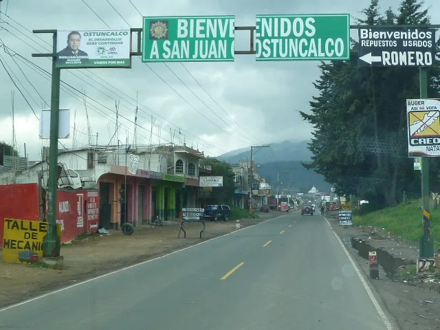
- Nearby: Cantel (6 km)
Best time to visit & climate
The most pleasant time to visit is Feb–Apr.
| Jan | Feb | Mar | Apr | May | Jun | Jul | Aug | Sep | Oct | Nov | Dec | |
|---|---|---|---|---|---|---|---|---|---|---|---|---|
| Avg °C | 14 | 15 | 17 | 19 | 19 | 18 | 17 | 17 | 17 | 17 | 15 | 14 |
| Rain mm | 12 | 9 | 20 | 46 | 165 | 279 | 189 | 258 | 321 | 232 | 50 | 15 |
📋 Practical info
Geography
Facts
- The highest point, La Torre, stands at 3,837 meters above sea level.
- The massif is primarily composed of limestone formations.
- It is the largest highland plateau in Central America, covering 16,350 km².
- Temperatures can drop as low as -5°C during the winter months.
- The region is the primary settlement area for the Mam Maya people.
- It contains the deepest sinkholes (cenotes) in Guatemala.
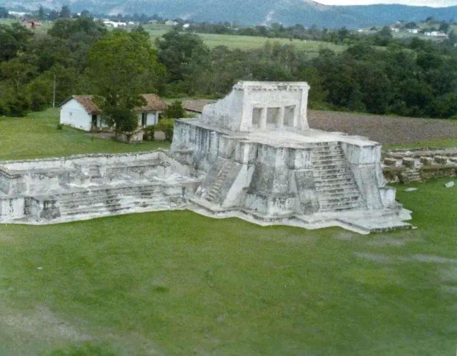
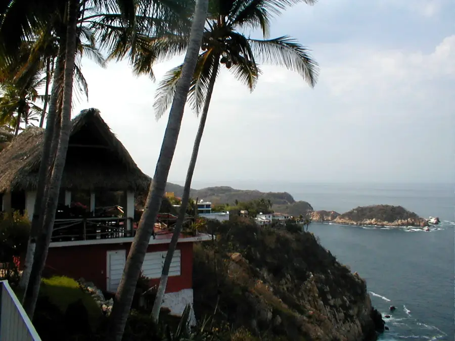
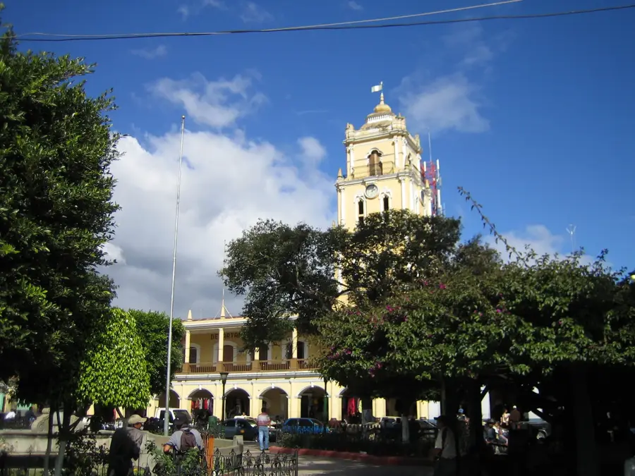
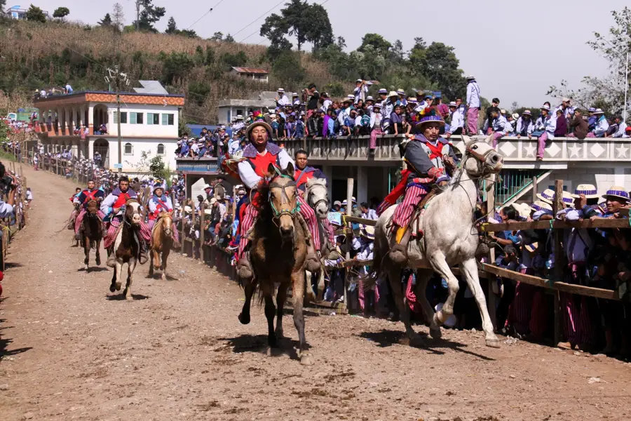
Explore nearby
Notable places around
Route planner — Car & Motorhome
Where do you start? We build the route here, with stops and country notes along the way.
© OpenStreetMap contributors · OpenRouteService
Sights nearby
Frequently asked questions
What is special about the Cuchumatanes?
How high is the highest point?
Is it cold up there?
What do you see at the Juan Diéguez Olaverri viewpoint?
What animals live there?
Sierra de los Cuchumatanes: where is it located?
Sierra de los Cuchumatanes: when is the best time to visit?
Sierra de los Cuchumatanes: why is it worth visiting?

Nearby cities
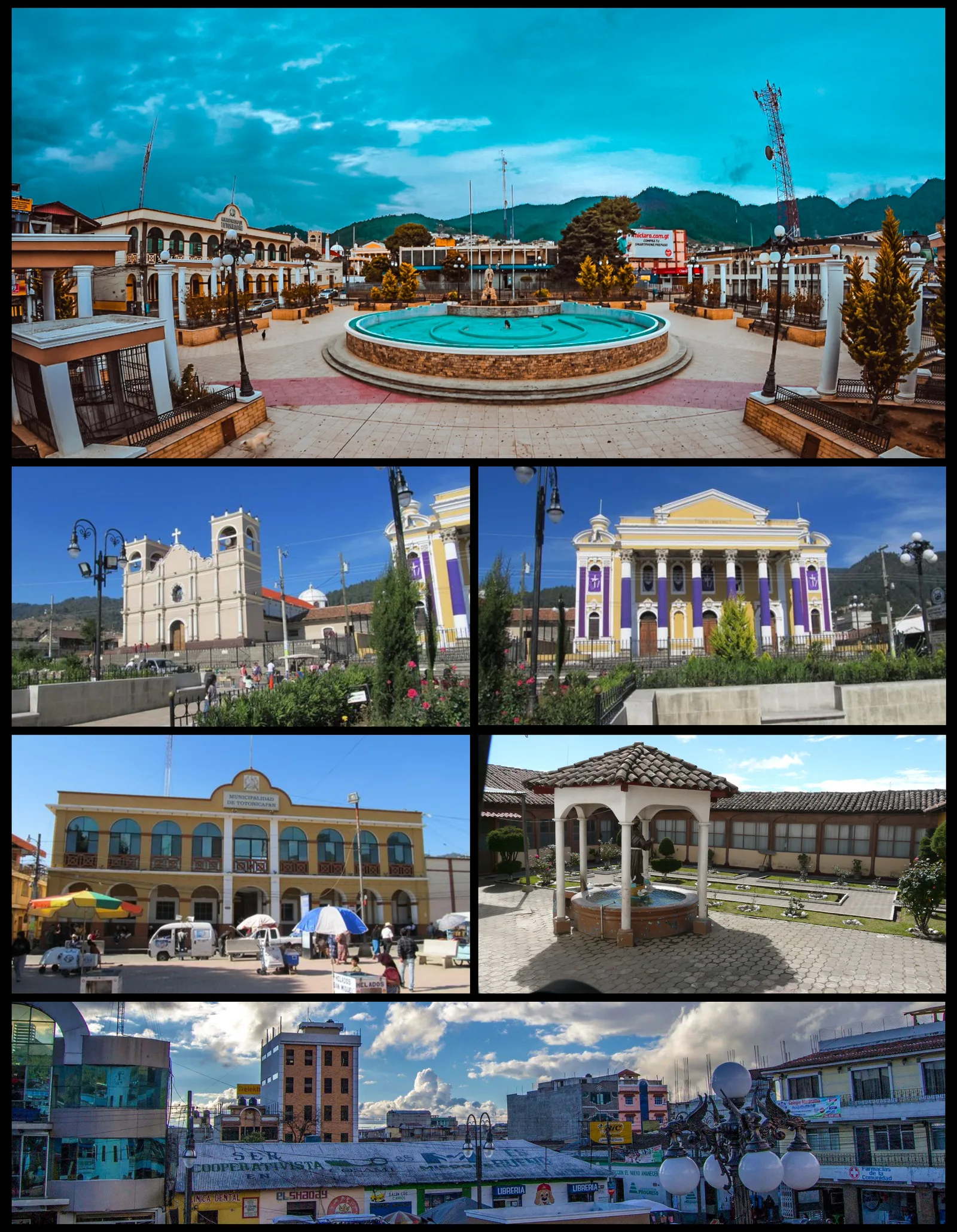
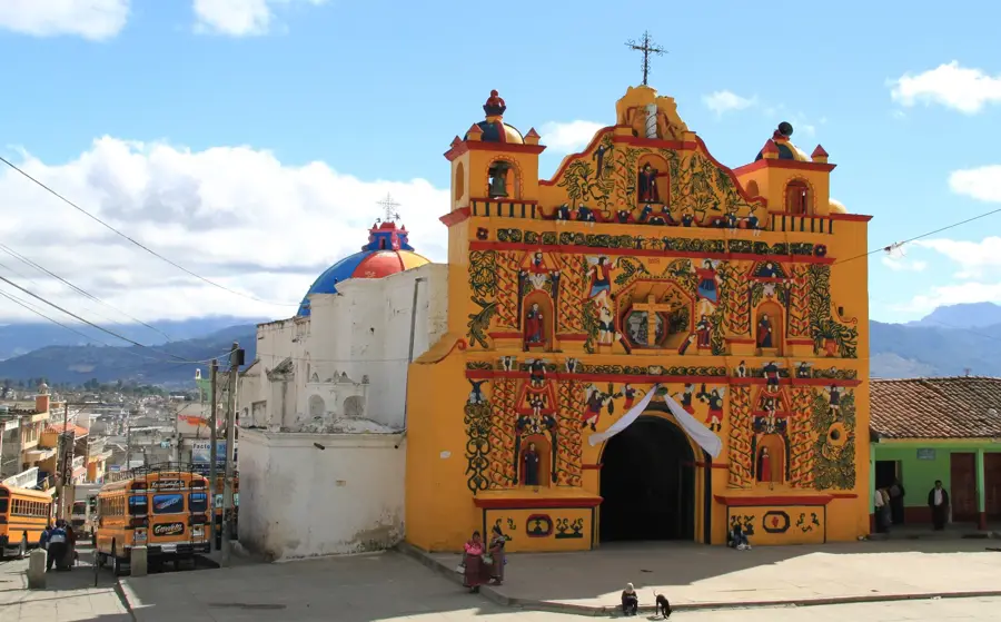
History & landmarks
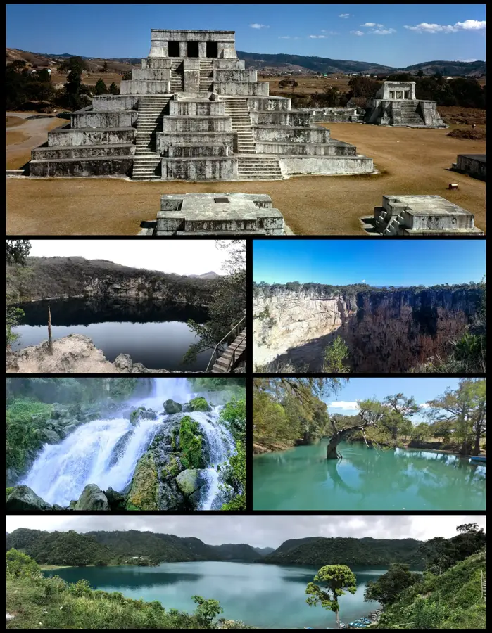
Nature
More places