Plizio Visual Lab
Apaneca Range

Weather…
Water temperature…
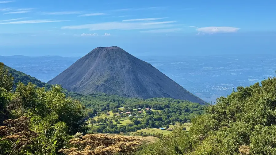
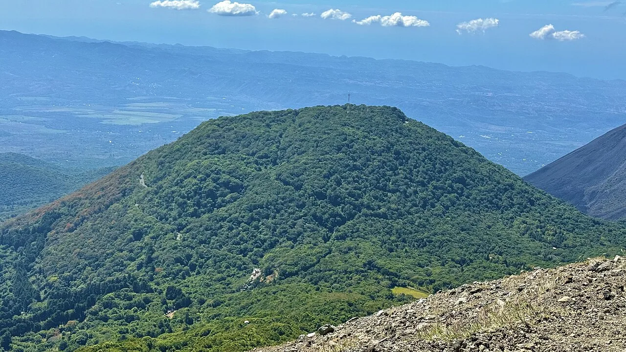
The Sierra de Apaneca-Ilamatepec is a major volcanic mountain range in western El Salvador, spanning the departments of Ahuachapán and Santa Ana. This region is home to some of the country's most significant volcanoes, including Santa Ana (Ilamatepec), Izalco, and Cerro Verde. Geologically, the range is part of the Central American Volcanic Arc and is characterized by a high density of craters, calderas, and thermal springs. The Sierra is the heart of Salvadoran coffee production, where the cool high-altitude climate and fertile volcanic ash soils provide handy conditions for world-renowned coffee varieties. Beyond its economic importance, the area is a vital ecological sanctuary, with national parks like Los Volcanes protecting dense cloud forests. The scenic beauty along the 'Ruta de las Flores' makes the Sierra one of the country's top tourist destinations. Historically, this area was a center of Pipil culture, whose legacy remains evident in local traditions and craftsmanship today.
- Location: El Salvador
- Nearby: Apaneca (7 km)
📋 Practical info
Geography
Facts
- The range contains Ilamatepec, the highest volcano in El Salvador.
- It spans approximately 60 kilometers in length.
- The Izalco volcano was nicknamed the 'Lighthouse of the Pacific' for its glow.
- The region accounts for a significant portion of the national coffee output.
- It was designated as an UNESCO Biosphere Reserve in 2007.
- The Sierra features several crater lakes, including Laguna de las Ninfas.
Explore nearby
Notable places around
Route planner — Car & Motorhome
Where do you start? We build the route here, with stops and country notes along the way.
© OpenStreetMap contributors · OpenRouteService
Sights nearby
Frequently asked questions
What is special about the Sierra de Apaneca?
Can you visit the coffee farms?
Are there good hotels there?
Is the region good for hiking?
Do you need a warm jacket?
Apaneca Range: where is it located?
Apaneca Range: why is it worth visiting?

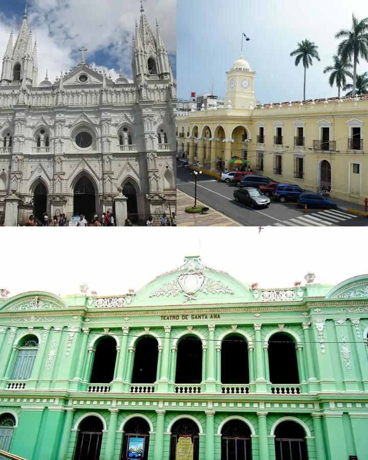
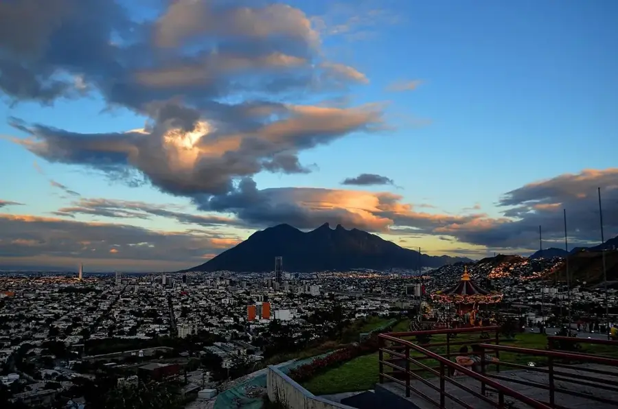
Nearby cities


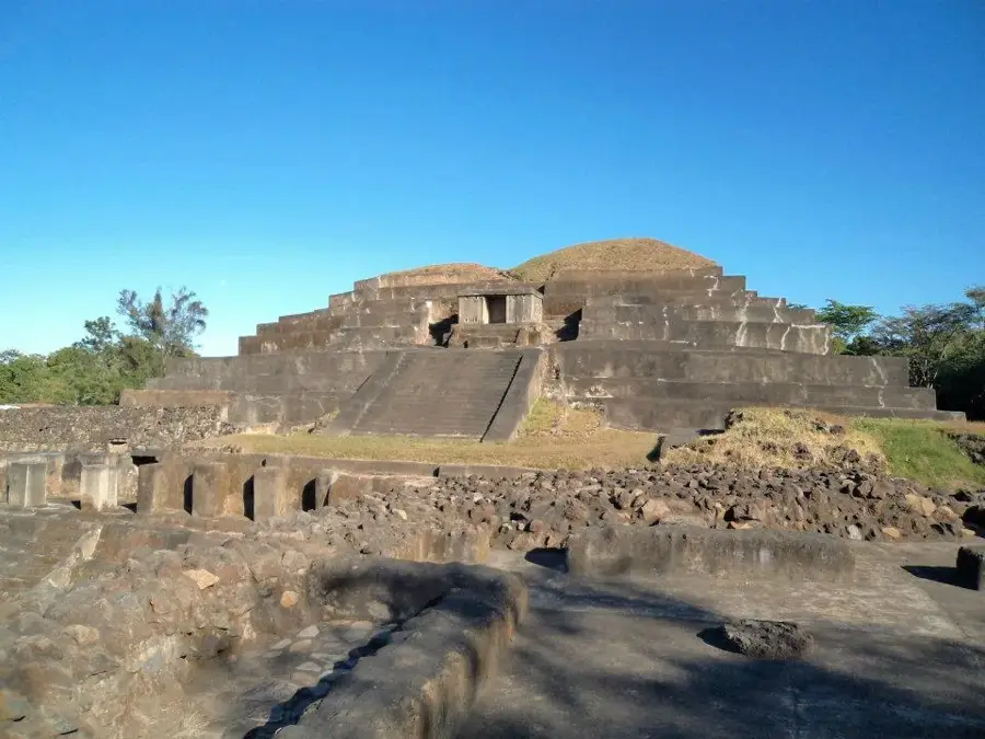
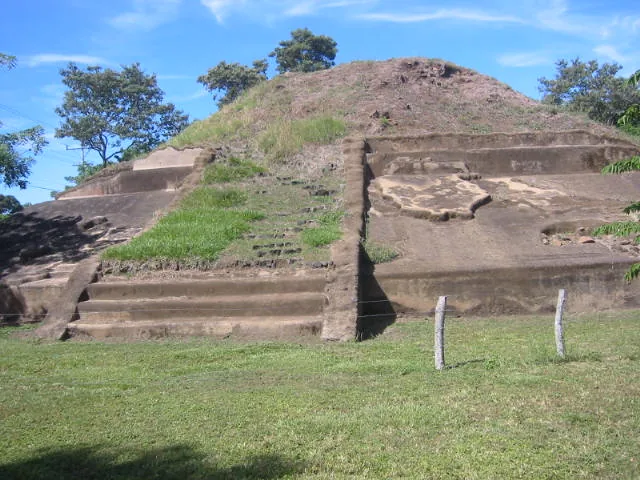
History & landmarks
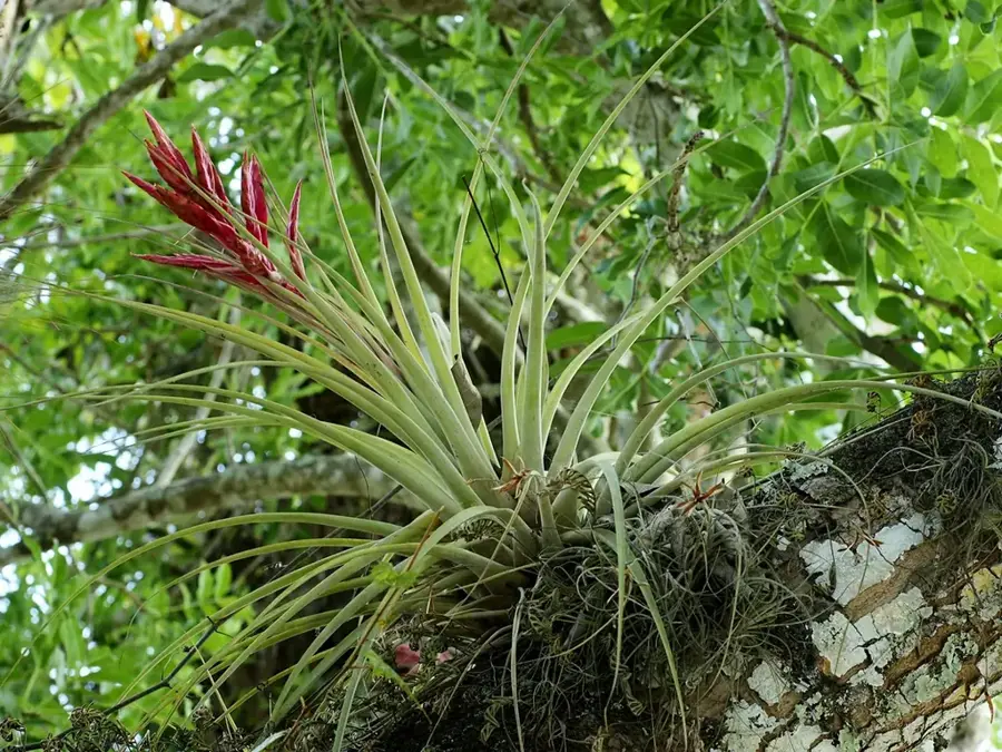
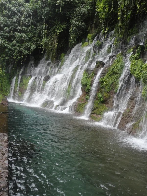


Nature


More places