Plizio Visual Lab
Cerro Cucurucho

Weather…
Water temperature…
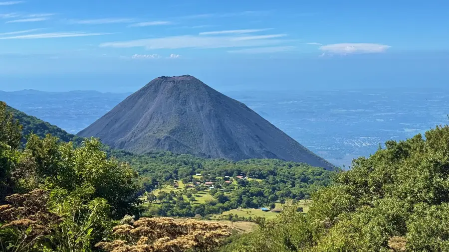
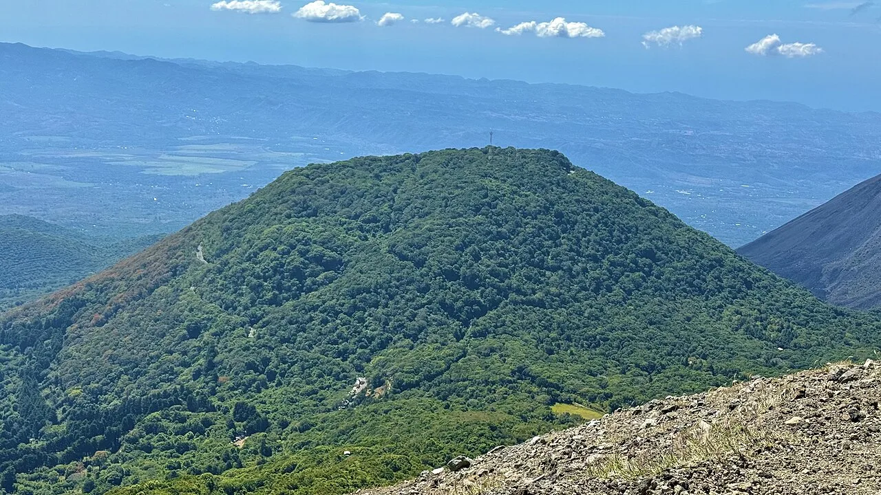
Cerro Cucurucho is a prominent hill in the Usulután Department of eastern El Salvador, belonging to the Sierra Tecapa-Chinameca range. Its name 'Cucurucho' refers to its pointed, cone-like shape, which is typical of many secondary volcanic formations in this region. The hill is covered with dense subtropical vegetation, providing a habitat for numerous bird species and small mammals. Geographically, it is located in a zone of high geothermal activity, highlighted by its proximity to the Tecapa volcano and various thermal springs. The slopes are partially used for agriculture, specifically for growing grains and fruits for the local markets. From its summit, visitors can enjoy impressive views of the coastal plains and the Pacific Ocean. Despite its modest height compared to the major volcanoes, Cerro Cucurucho is an important landmark for local residents and hikers alike.
- Location: El Salvador
- Top sights: Izalco (volcano) · Los Volcanes National Park
- Nearby: Nahuizalco (7 km)
📋 Practical info
Geography
Facts
- Cerro Cucurucho is located within the Usulután Department.
- It forms part of the Sierra Tecapa-Chinameca volcanic chain.
- The hill reaches an elevation of approximately 1,200 meters.
- The surrounding region is a major hub for geothermal energy.
- It is a popular spot for birdwatching and nature photography.
- The hill is clearly visible from the Pan-American Highway.
Explore nearby
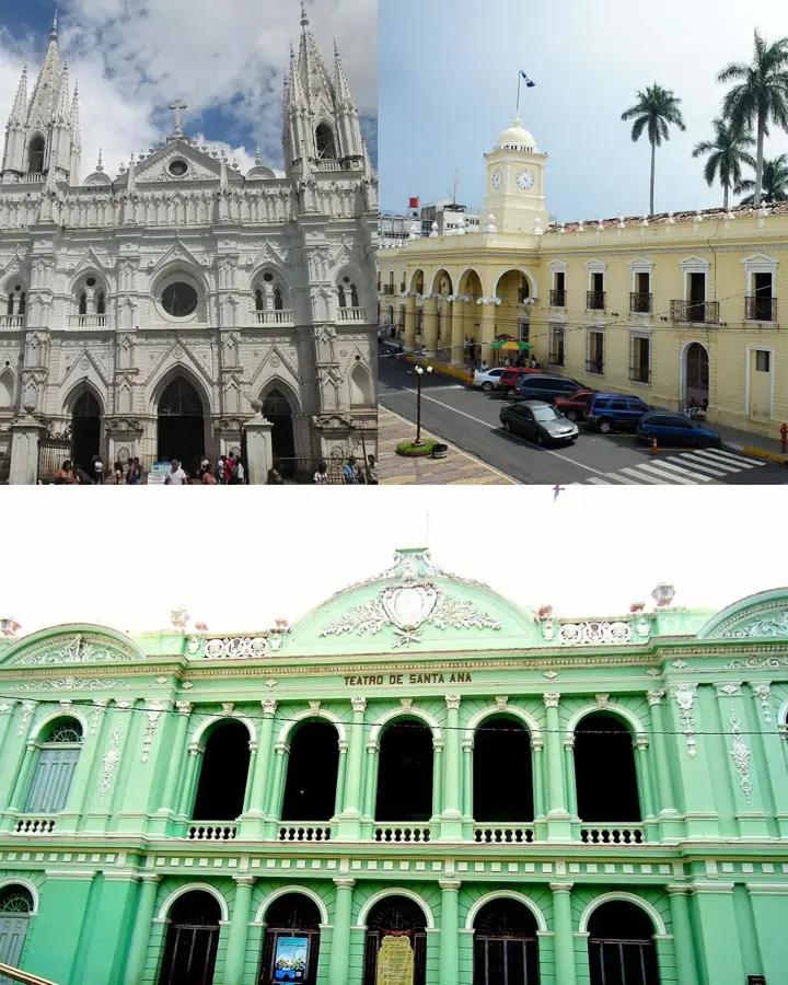
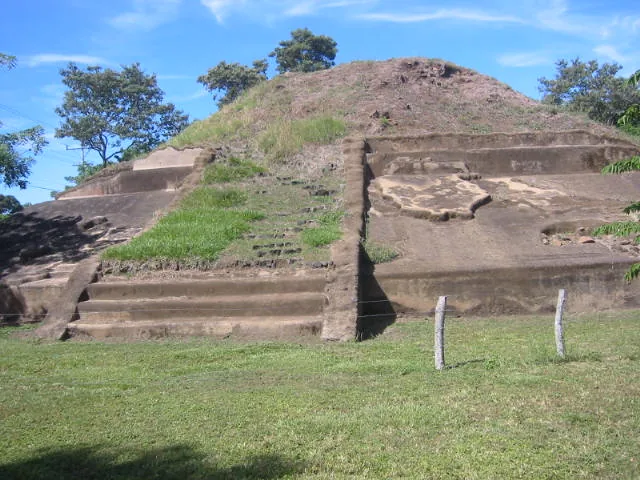
Notable places around
Route planner — Car & Motorhome
Where do you start? We build the route here, with stops and country notes along the way.
© OpenStreetMap contributors · OpenRouteService
Sights in the town Cerro Cucurucho (2)
Sights nearby
Frequently asked questions
Is Cerro Cucurucho a popular hiking mountain?
Are there marked paths?
What is the difficulty level?
What is the best equipment?
Are there dangerous animals there?
Cerro Cucurucho: where is it located?
Cerro Cucurucho: what is there to see?
Cerro Cucurucho: why is it worth visiting?

Nearby cities


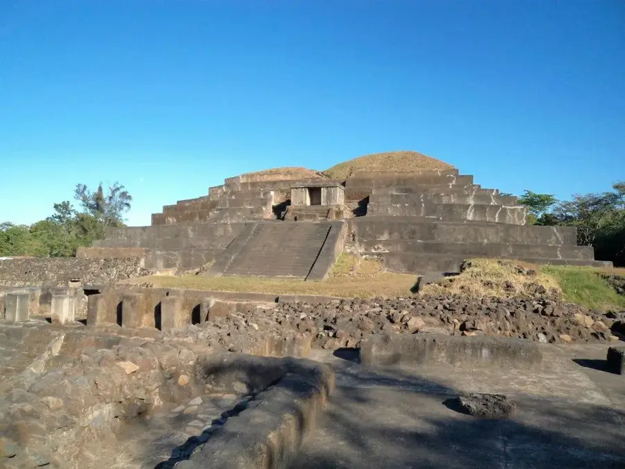
History & landmarks

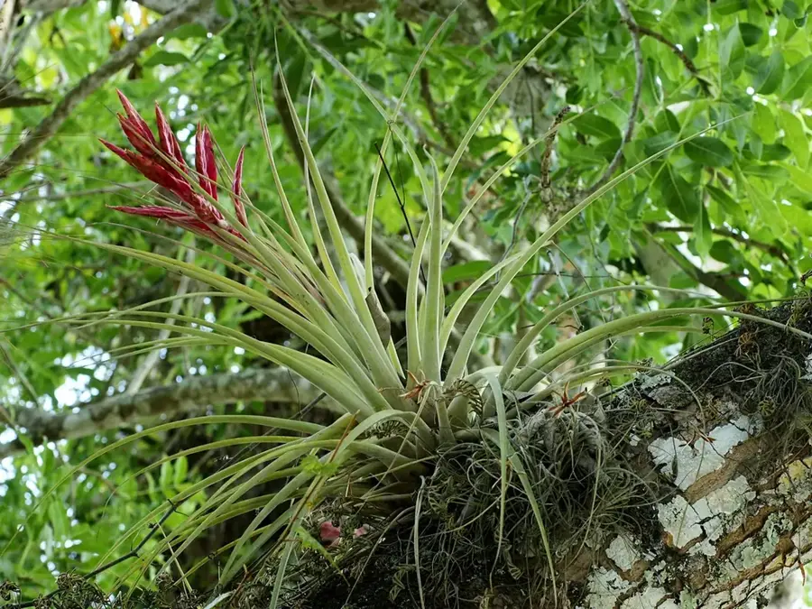
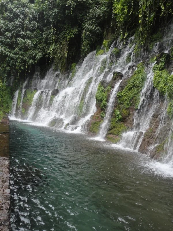


Nature


More places