Plizio Visual Lab
Santa Ana Volcano
Weather…
Water temperature…
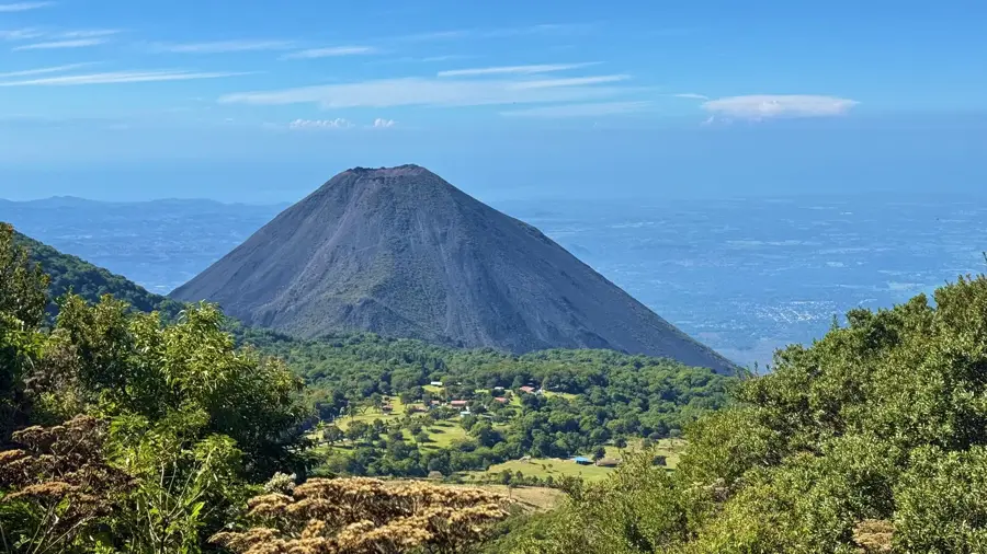
The Santa Ana Volcano, also known as Ilamatepec, is the highest peak in El Salvador, standing at 2,381 meters. It is a massive stratovolcano located in the western part of the country and is part of the Apaneca-Ilamatepec mountain range. The volcano features a complex summit crater containing a sulfurous, azure-colored acidic lake that constantly emits steam. Geological activity of Ilamatepec is well-documented, with its last major eruption occurring in 2005, which dispersed ash and volcanic rocks over wide areas. The volcano is situated within the Los Volcanes National Park, which hosts a rich variety of flora and fauna. The lower slopes of the mountain are famous for their fertile volcanic soil, extensively used for growing high-quality highland coffee. Hiking trails lead visitors to the crater's rim, providing a panoramic view that includes Lake Coatepeque and the neighboring Izalco Volcano.
- Location: El Salvador
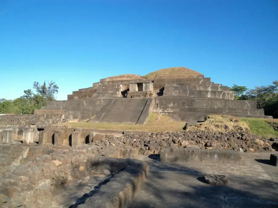
- Nearby: Chalchuapa (6 km)
📋 Practical info
Geography
Facts
- At 2,381 meters, Santa Ana is the tallest volcano in El Salvador.
- The volcano's last significant eruption occurred on October 1, 2005.
- The summit crater contains a permanent lake with extremely acidic water.
- It is part of the UNESCO Apaneca-Ilamatepec Biosphere Reserve.
- The diameter of the outer crater rim is approximately 1.5 kilometers.
- Coffee is cultivated on its slopes at altitudes exceeding 1,200 meters.
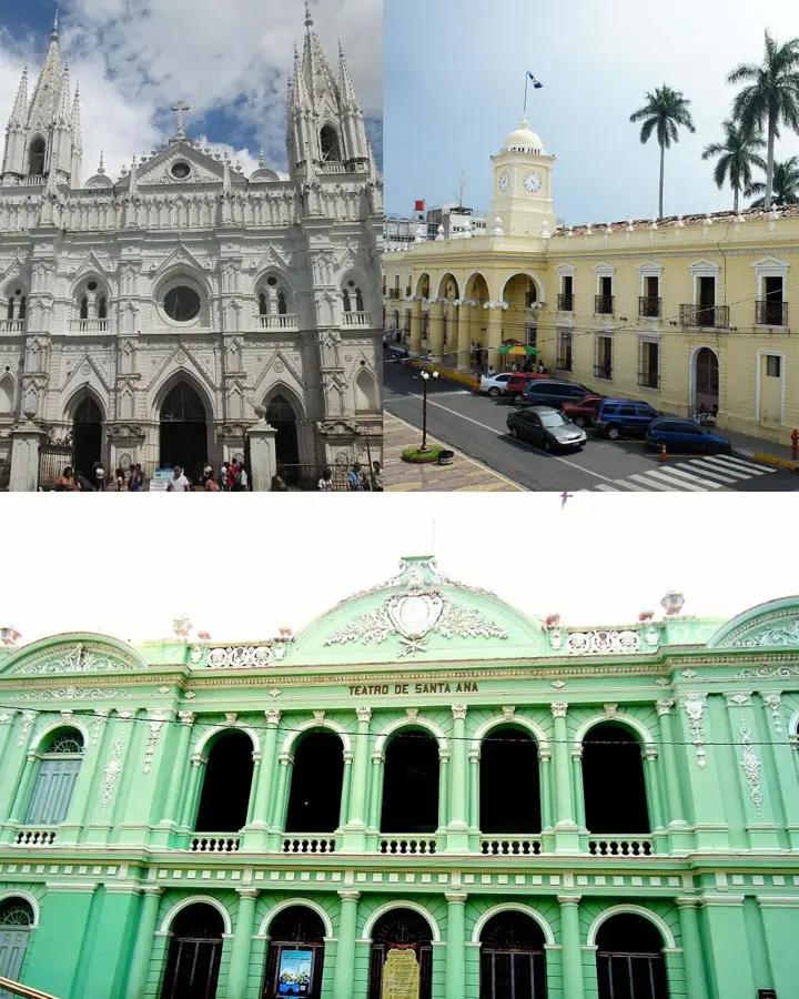
Explore nearby
Notable places around
Route planner — Car & Motorhome
Where do you start? We build the route here, with stops and country notes along the way.
© OpenStreetMap contributors · OpenRouteService
Sights in the town Santa Ana Volcano (1)
Sights nearby
Frequently asked questions
How strenuous is the climb?
Do I need a guide?
Is there a mandatory entrance fee?
When is the weather best?
Is swimming in the crater lake allowed?
Santa Ana Volcano: where is it located?
Santa Ana Volcano: why is it worth visiting?

Nearby cities


History & landmarks

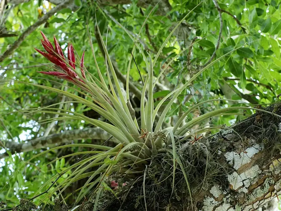
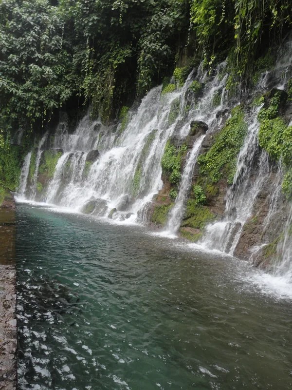


Nature


More places