Plizio Visual Lab
Cerro Nanahuatzin

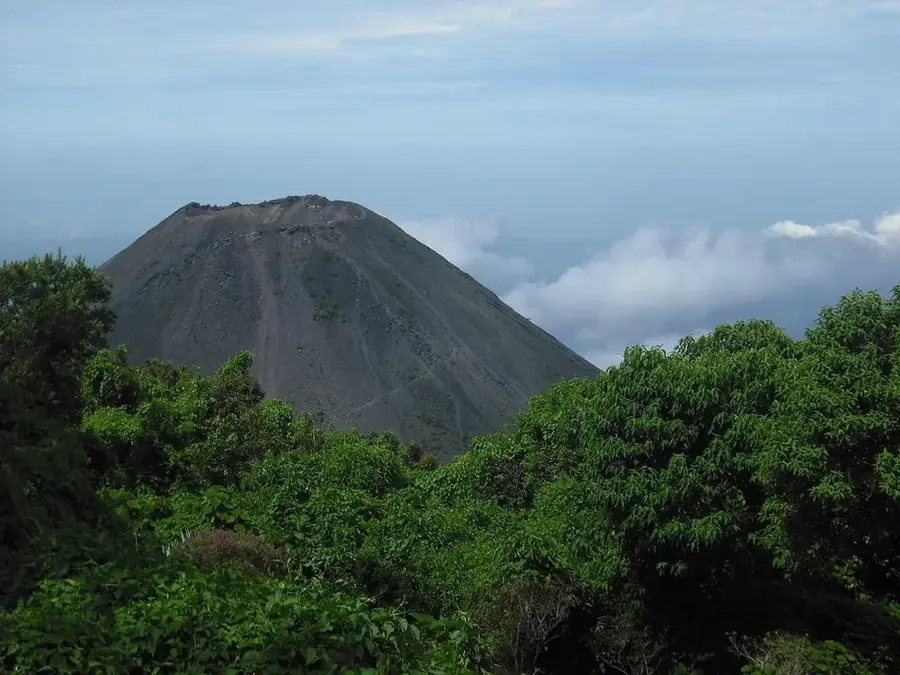
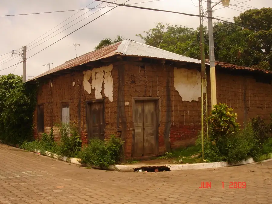
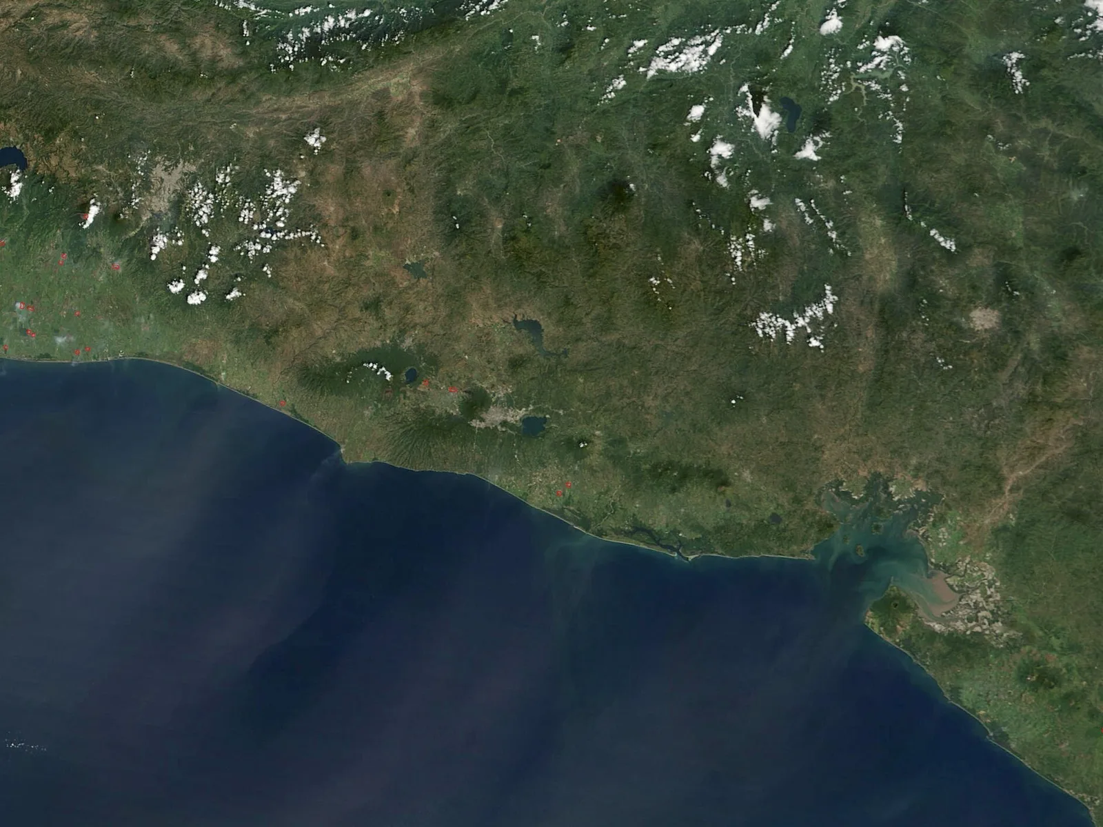
Cerro Nanahuatzin is a prominent hill located in the Ahuachapán Department of western El Salvador, not far from the photogenic town of Concepción de Ataco. The mountain is geologically connected to the Sierra Apaneca-Ilamatepec volcanic complex and reaches significant altitudes characterized by cloud forests and coffee plantations. Its name originates from Aztec mythology, referring to the god who sacrificed himself to create the fifth sun. The area is known for its cool climate and rich flora, including numerous species of bromeliads and orchids. Cerro Nanahuatzin serves as an important watershed for the region and provides hiking trails with panoramic views of the surrounding valleys and the Guatemalan border. It is a popular destination for hikers and nature lovers seeking the tranquility and biodiversity of the Salvadoran highlands.
- Location: El Salvador
- Nearby: Juayúa (6 km)
📋 Practical info
Geography
Facts
- The summit is located at an altitude of over 1,500 meters above sea level.
- The name comes from the Nahuatl language and means 'The Little Sick One'.
- The mountain belongs to the Sierra Apaneca-Ilamatepec mountain range.
- It is a privileged area for the cultivation of high-altitude coffee.
- The region records annual rainfall of up to 2,500 mm.
- From certain vantage points, the volcanoes of Guatemala are visible.
Explore nearby
Notable places around
Route planner — Car & Motorhome
Where do you start? We build the route here, with stops and country notes along the way.
© OpenStreetMap contributors · OpenRouteService
Sights nearby
Frequently asked questions
How demanding is the hike?
Are there viewpoints there?
Is it safe to hike there alone?
What equipment is necessary?
Are there parking spaces near the start?
Cerro Nanahuatzin: where is it located?
Cerro Nanahuatzin: why is it worth visiting?

Nearby cities


Nature
More places