Plizio Visual Lab
El Boquerón National Park

Weather…
Water temperature…
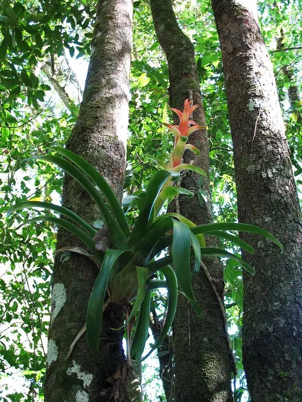
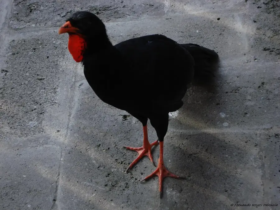
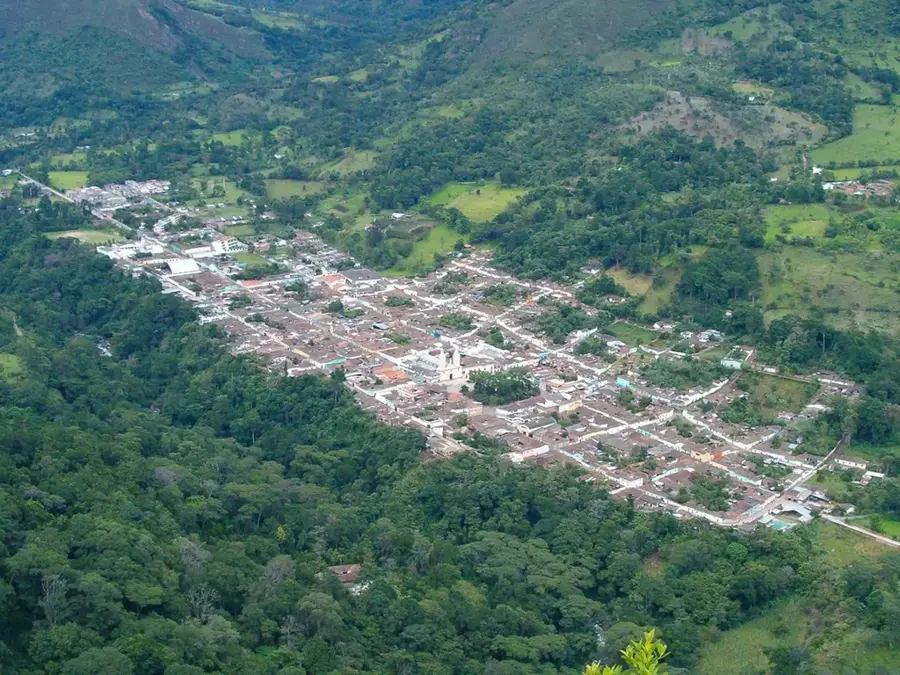
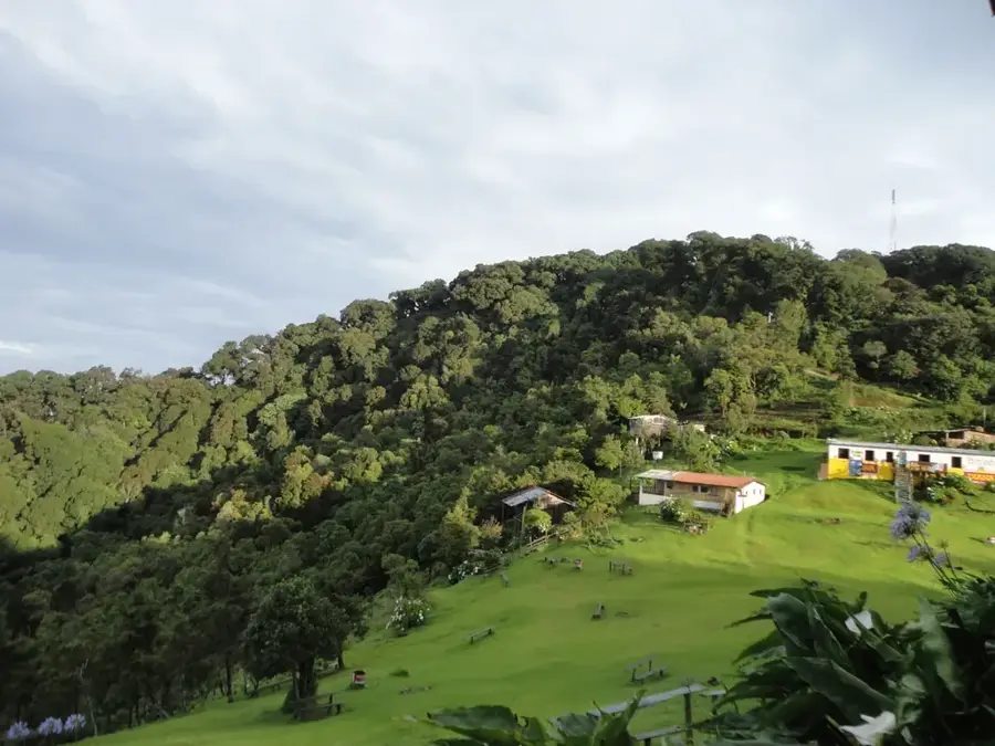
El Boquerón National Park is located on the summit of the San Salvador Volcano and features an impressive main crater approximately 1.5 kilometers in diameter. Situated at an altitude of 1,893 meters, the park has a cooler climate compared to the tropical heat of the nearby capital. A remarkable feature is 'Boqueroncito,' a smaller volcanic cone at the bottom of the main crater that was formed during the last major eruption in 1917. Prior to this eruption, a small lake occupied the crater floor but completely evaporated due to the intense heat of the lava. The park is covered by a dense cloud forest where numerous ornamental plants such as hydrangeas and begonias flourish, along with diverse birdlife. Well-maintained hiking trails lead to several viewpoints along the crater's rim, providing spectacular views into the depths of over 500 meters. Its close proximity to the city center of San Salvador makes it one of the most visited natural reserves in the country.
- Location: El Salvador
- Nearby: La Libertad (5 km)
Best time to visit & climate
The most pleasant time to visit is Jan, Feb, Dec.
| Jan | Feb | Mar | Apr | May | Jun | Jul | Aug | Sep | Oct | Nov | Dec | |
|---|---|---|---|---|---|---|---|---|---|---|---|---|
| Avg °C | 26 | 27 | 28 | 28 | 28 | 27 | 27 | 27 | 26 | 26 | 26 | 26 |
| Rain mm | 4 | 5 | 8 | 39 | 193 | 232 | 198 | 246 | 283 | 226 | 48 | 10 |
📋 Practical info
Geography
Facts
- The main crater of El Boquerón is approximately 1,500 meters wide.
- The maximum depth of the crater is recorded at about 558 meters.
- The 'Boqueroncito' cone was formed during the eruption on June 7, 1917.
- The highest point of the San Salvador Volcano reaches ,1893 meters.
- The national park was officially inaugurated in 2008.
- A crater lake existed until it evaporated during the 1917 eruption.
Explore nearby
Notable places around
Route planner — Car & Motorhome
Where do you start? We build the route here, with stops and country notes along the way.
© OpenStreetMap contributors · OpenRouteService
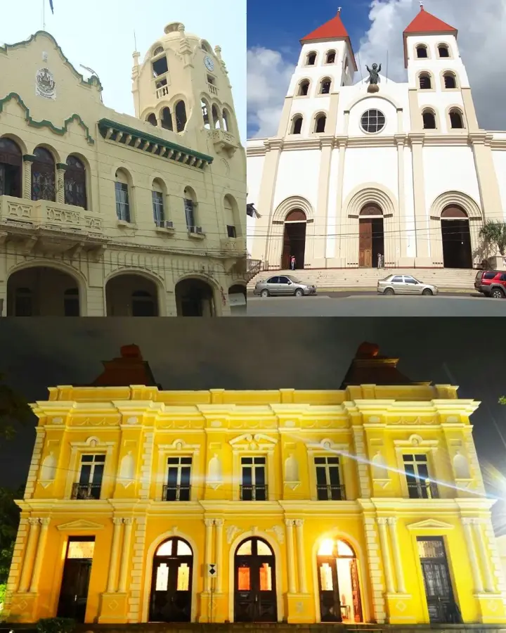
Sights in the town El Boquerón National Park (1)
Sights nearby
Frequently asked questions
Is there parking at the entrance?
Can you go down into the crater?
How long does a walk take?
Is it child-friendly?
Is there food available?
El Boquerón National Park: where is it located?
El Boquerón National Park: when is the best time to visit?
El Boquerón National Park: why is it worth visiting?

Nearby cities


History & landmarks


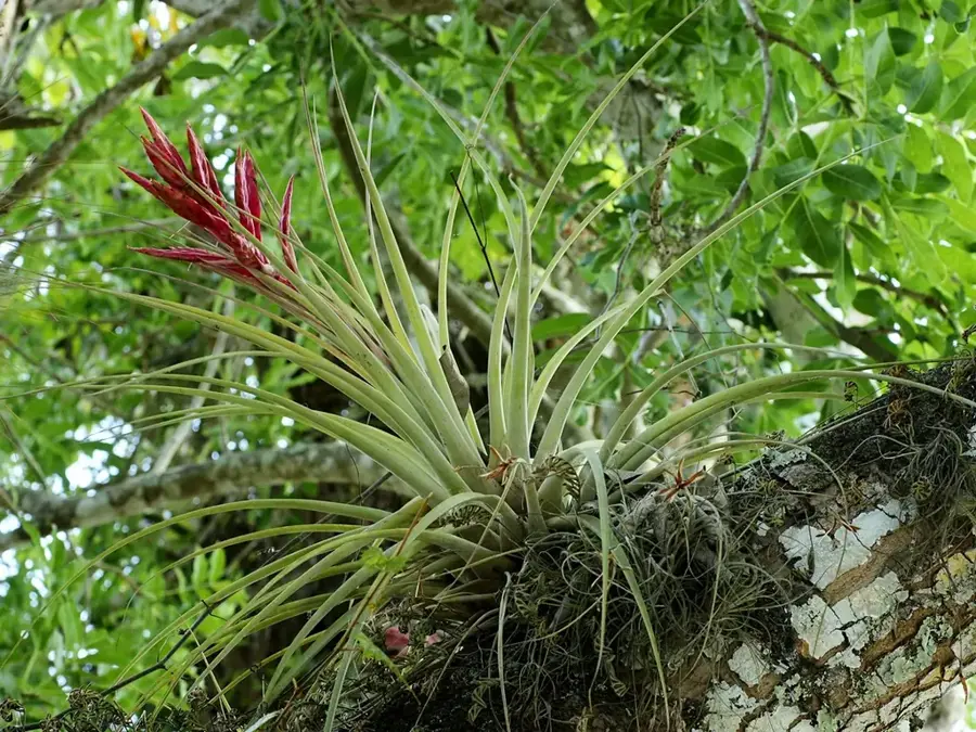
Nature


More places