Plizio Visual Lab
Cerro Azul
Weather…
Water temperature…
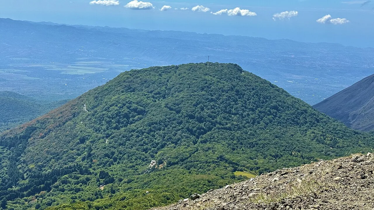
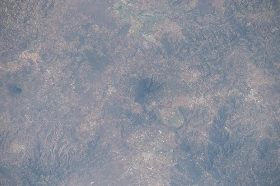
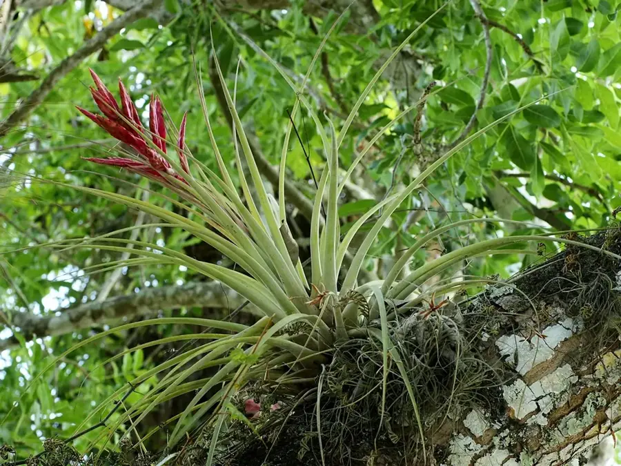
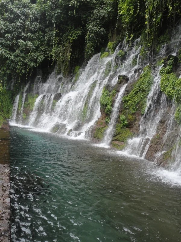
Cerro Azul is a striking volcanic cone that belongs to the Coatepeque caldera complex in western El Salvador, within the Santa Ana Department. It rises on the flanks of the massive Santa Ana volcano (Ilamatepec) and is part of the Los Volcanes National Park. Geologically, it is a parasitic cone formed by lateral eruptions of the main volcanic system. With its significant elevation, it features a spectacular view of the deep blue Lake Coatepeque, from which its name is likely derived. The vegetation on Cerro Azul is dense, consisting of high-altitude cloud forest that is often shrouded in thick clouds, creating a mystical atmosphere. These forests host a variety of orchids, bromeliads, and rare birds. The soil is extremely fertile, enabling the cultivation of high-quality coffee on the lower slopes. Hiking Cerro Azul is challenging due to steep trails and often slippery volcanic terrain, but it rewards visitors with a unique display of flora and fauna.
- Location: El Salvador
- Nearby: Santa Ana (4 km)
📋 Practical info
Geography
Facts
- Cerro Azul is located within the Los Volcanes National Park.
- It is geologically classified as a parasitic volcanic cone.
- The peak overlooks the volcanic Lake Coatepeque to the east.
- The summit reaches an elevation of approximately 1,800 meters.
- Its name originates from the deep blue hues of the landscape.
- The slopes are home to a rare and fragile cloud forest ecosystem.
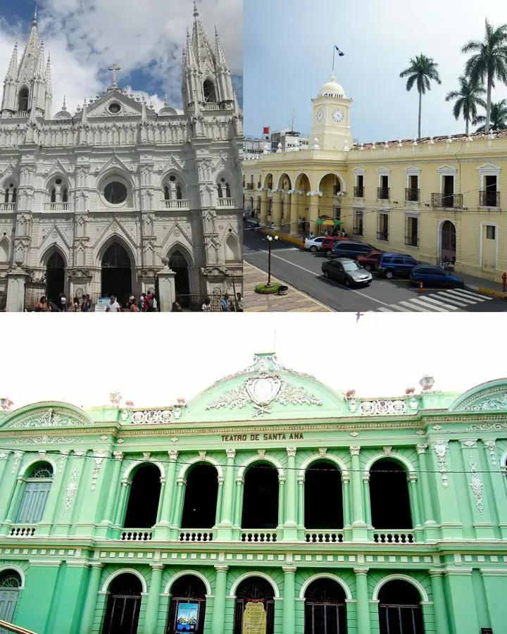
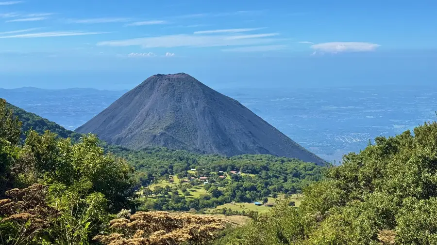
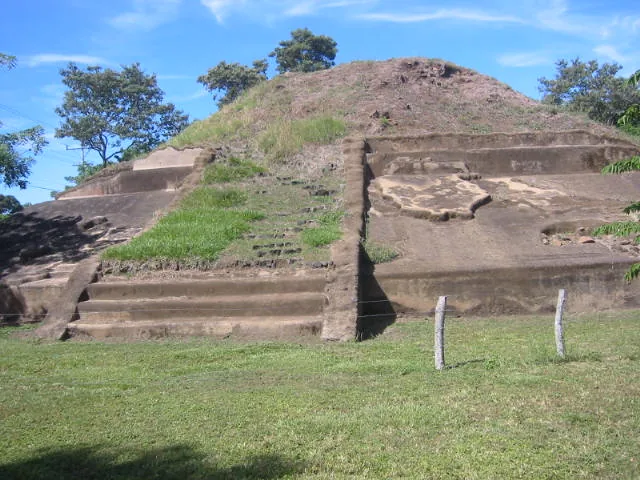
Explore nearby
Notable places around
Route planner — Car & Motorhome
Where do you start? We build the route here, with stops and country notes along the way.
© OpenStreetMap contributors · OpenRouteService
Sights nearby
Frequently asked questions
Is Cerro Azul an active volcano?
How long does the climb take?
What clothing is recommended?
Is it allowed to enter the crater rim paths?
Are there guided groups?
Cerro Azul: where is it located?
Cerro Azul: why is it worth visiting?

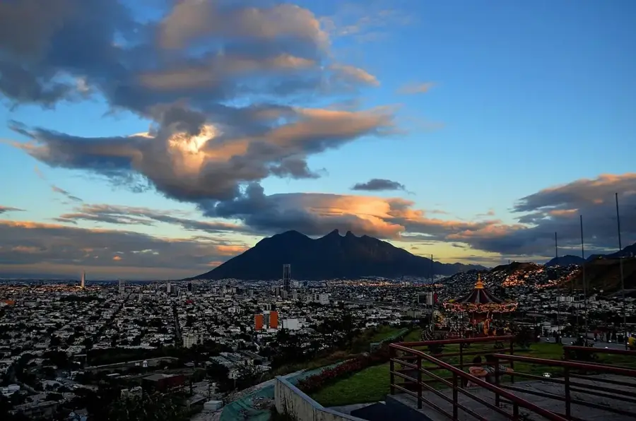
Nearby cities


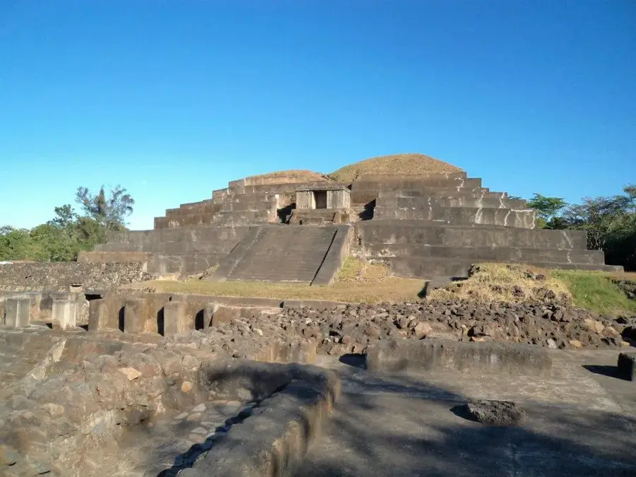
History & landmarks


Nature


More places