Plizio Visual Lab
Chorros de la Calera Waterfalls

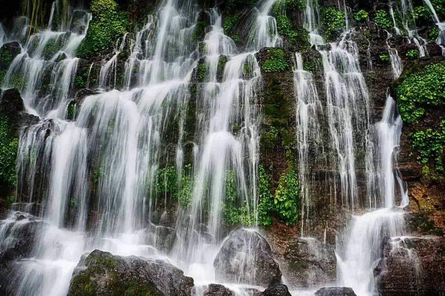
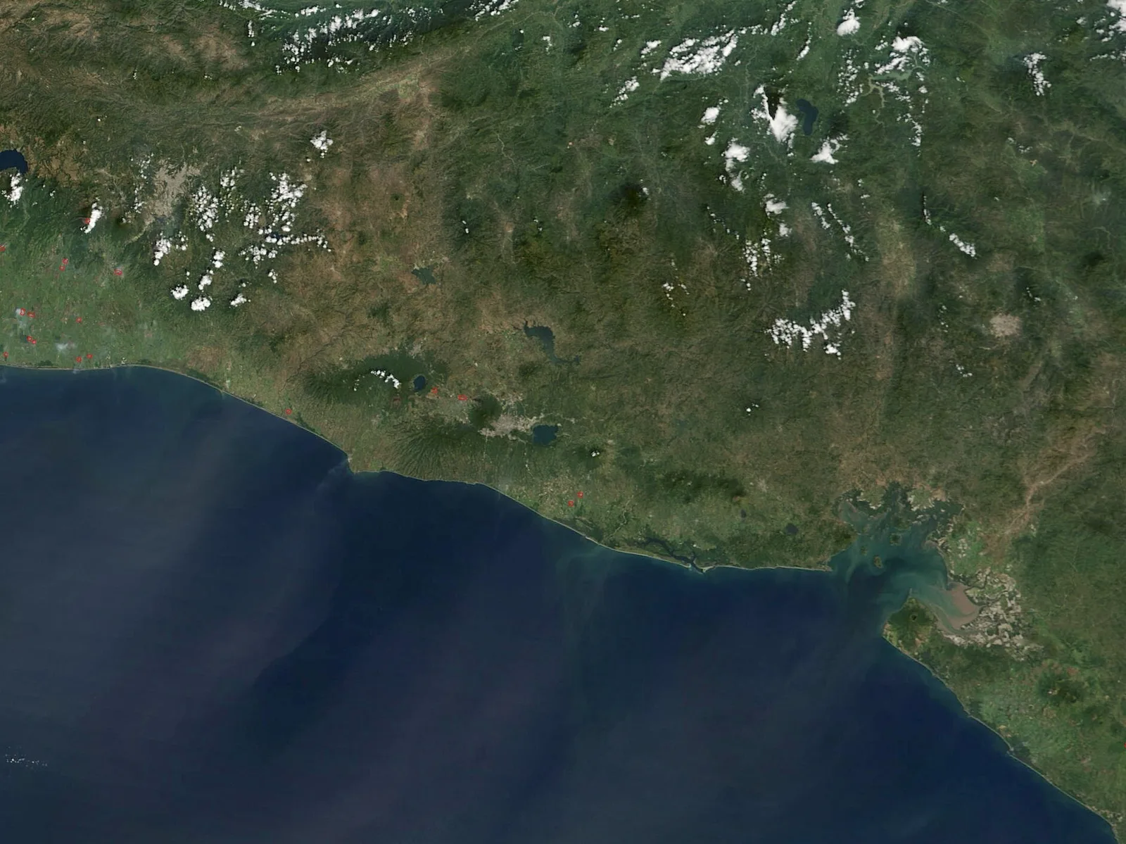
The Chorros de la Calera waterfalls are located near the town of Juayúa in the Sonsonate Department, forming an essential stop along the famous 'Ruta de las Flores.' This series of cascades emerges directly from a steep rocky cliff, fed by underground springs and natural aquifers. The water tumbles down multiple levels into natural pools known for their clarity and refreshing temperature, making them popular for swimming. Historically, the water's energy was harnessed by a small hydroelectric plant that once provided electricity to the nearby town. Today, the site is a favorite for ecotourists who enjoy the short hike through coffee plantations and lush tropical vegetation to reach the falls. The geological formation of La Calera illustrates the unique hydrological characteristics of the Apaneca-Ilamatepec volcanic mountain range that defines the region.
- Location: El Salvador
- Top sights: Juayúa · Salcoatitán
- Nearby: Salcoatitán (4 km)
📋 Practical info
Geography
Facts
- Composed of several cascades emerging from a cliff face.
- Fed by subterranean springs rather than a surface river.
- Key attraction along the popular 'Ruta de las Flores' tourist route.
- Site of a former hydroelectric plant that powered Juayúa.
- Features natural pools with consistently cool water temperatures.
- Reached via a scenic hike through local coffee plantations.
Explore nearby
Notable places around
Route planner — Car & Motorhome
Where do you start? We build the route here, with stops and country notes along the way.
© OpenStreetMap contributors · OpenRouteService
Sights in the town Chorros de la Calera Waterfalls (2)
Sights nearby
Frequently asked questions
Do you need a guide?
Is the trail difficult?
Can you swim there?
Are there changing rooms?
What is the best time?
Chorros de la Calera Waterfalls: where is it located?
Chorros de la Calera Waterfalls: what is there to see?
Chorros de la Calera Waterfalls: why is it worth visiting?

Nearby cities


Nature
More places