Plizio Visual Lab
Ruta de las Flores
Weather…
Water temperature…
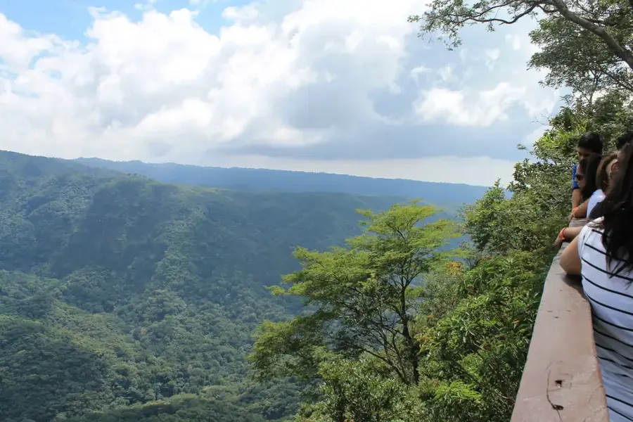
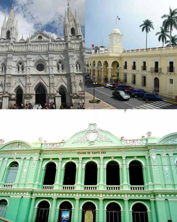
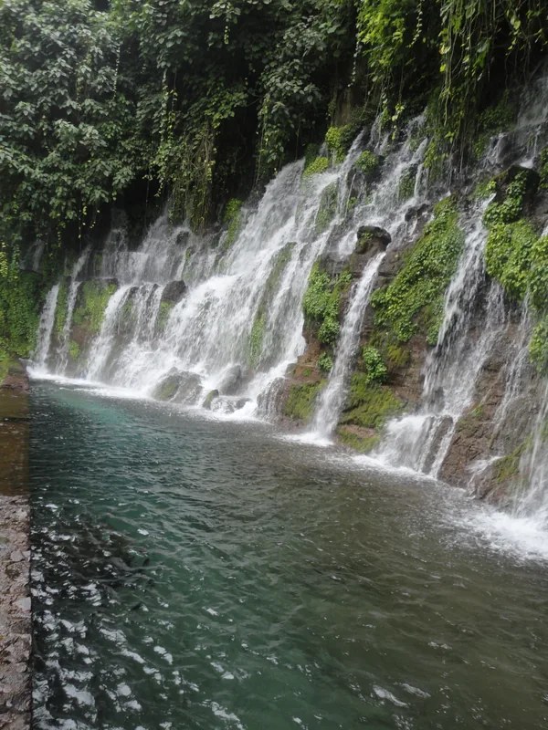
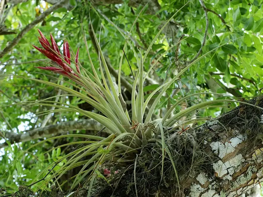
The Ruta de las Flores is a scenic panoramic route in western El Salvador, passing through the departments of Ahuachapán and Sonsonate. The route connects six pleasant colonial towns: Ahuachapán, Concepción de Ataco, Apaneca, Juayúa, Salcoatitán, and Nahuizalco. Famous for its mild climate and lush vegetation, countless wildflowers bloom along the path between November and February, giving the route its name. This region is the heart of Salvadoran coffee production, with many estates offering tours that demonstrate the cultivation and milling process. Each town features its own unique character, from the lively murals in Ataco to the weekend gastronomic festivals in Juayúa. Culturally, the route is deeply influenced by indigenous Pipil traditions, particularly evident in the handicrafts and local markets of Nahuizalco. The blend of colonial architecture, natural wonders like waterfalls, and living traditions makes it a cornerstone of national tourism.
- Location: El Salvador
- Top sights: Concepción de Ataco · Quezalapa
- Nearby: Santo Domingo de Guzmán (6 km)
Best time to visit & climate
The most pleasant time to visit is Jan, Feb, Dec.
| Jan | Feb | Mar | Apr | May | Jun | Jul | Aug | Sep | Oct | Nov | Dec | |
|---|---|---|---|---|---|---|---|---|---|---|---|---|
| Avg °C | 23 | 25 | 26 | 27 | 26 | 25 | 25 | 25 | 24 | 24 | 23 | 23 |
| Rain mm | 6 | 8 | 8 | 34 | 159 | 207 | 178 | 218 | 227 | 171 | 45 | 11 |
📋 Practical info
Geography
Facts
- The route links a total of six historic colonial towns.
- Apaneca is the highest town on the route at 1,450 meters elevation.
- The peak season for wildflower blooming is between November and February.
- Juayúa has hosted a gastronomic festival every weekend since 1997.
- Nahuizalco is famous for its night market traditionally lit by candles.
- The region is responsible for over 40% of Salvadoran coffee production.
Explore nearby
Notable places around
Route planner — Car & Motorhome
Where do you start? We build the route here, with stops and country notes along the way.
© OpenStreetMap contributors · OpenRouteService
Sights in the town Ruta de las Flores (2)
Sights nearby
Frequently asked questions
What is Ruta de las Flores?
What's the best way to travel?
When do the flowers bloom?
Is it worth staying over?
Is there local food?
Ruta de las Flores: where is it located?
Ruta de las Flores: what is there to see?
Ruta de las Flores: when is the best time to visit?
Ruta de las Flores: why is it worth visiting?

Nearby cities


History & landmarks


Nature


More places