Plizio Visual Lab
Teakettle
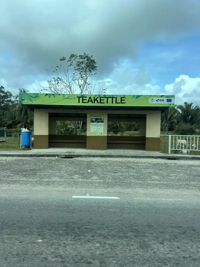
ℹ️Practical info — Teakettle
▾
🌤 Weather — 5 days
📍 Nearby
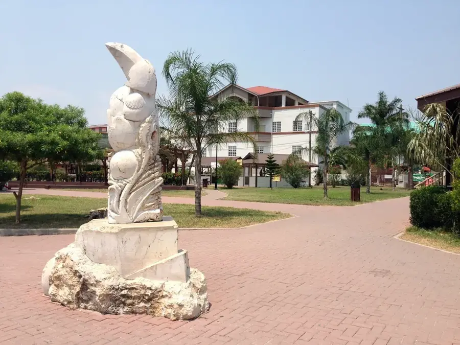
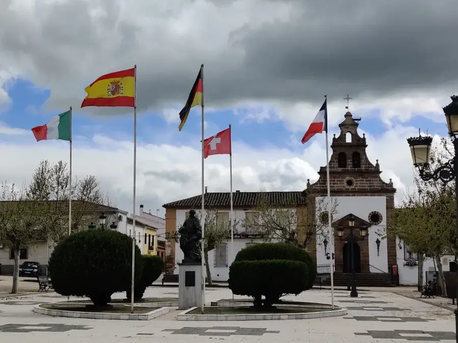
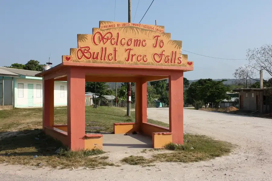
Sights nearby
💡 Tips
- The village is a well-suited staging point for tours to the famous Actun Tunichil Muknal (ATM) cave.
- Book cave tours in advance with licensed guides, as independent access is strictly not allowed.
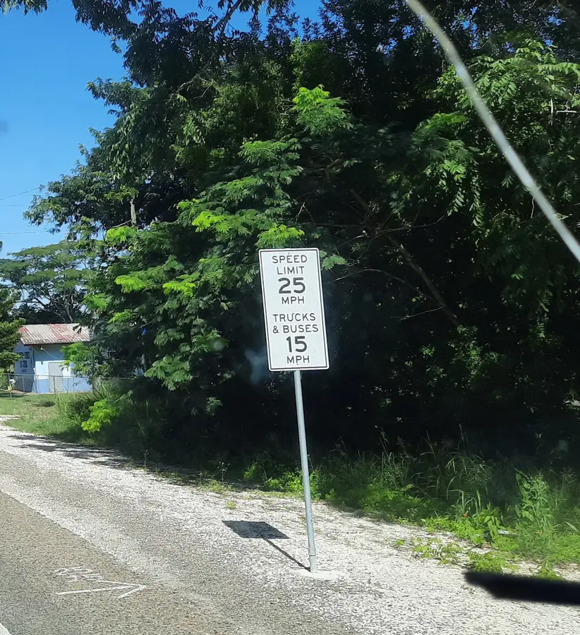
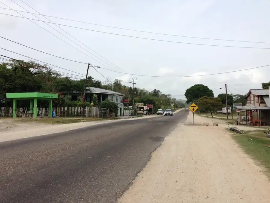
- Buses traveling between Belmopan and San Ignacio stop frequently on the George Price Highway.
- The climate here is humid, so pack light clothing and insect repellent.
🍽 Food
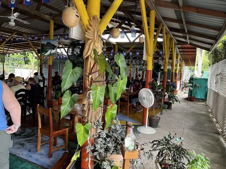
A hearty local favorite served at small roadside diners along the highway.
Look for vendors chopping fresh coconuts on the side of the road.
A classic Belizean breakfast pastry to fuel up before a jungle trek.
🛍 Shopping · 🧘 Quiet spots
Stock up on cold drinks and trail snacks at shops along the George Price Highway.
You may find locals selling small wood carvings or handmade jewelry.
Find a shady spot by the riverside for a peaceful break.
Take a quiet walk on the footpaths leading from the village into the surrounding forest.
Water temperature…
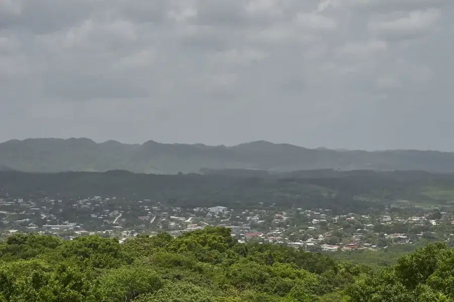
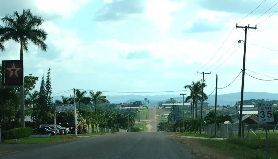
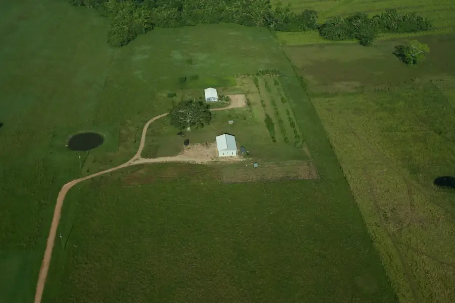
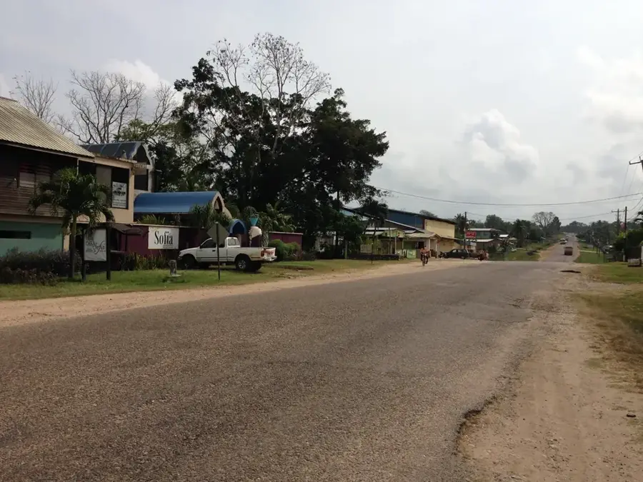
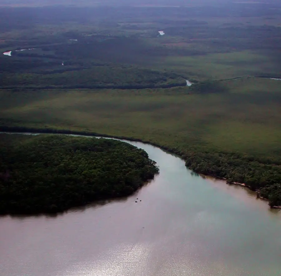
Teakettle is a growing village in the Cayo District of Belize, centrally located along the George Price Highway between Belmopan and San Ignacio. The village's unique name is attributed to early mahogany loggers who frequently camped by the nearby Roaring Creek to boil tea. Geographically, Teakettle is set within a landscape of lush broadleaf forests and rolling hills, making it a prime location for nature-based activities. It is most famous as the primary gateway to the Actun Tunichil Muknal (ATM) cave, one of the most significant Maya archaeological sites in Mesoamerica. The local economy relies on a combination of agriculture, small-scale commerce, and tourism services driven by the proximity to national parks and river systems. The population is ethnically diverse, comprising Creole, Mestizo, and immigrant communities from neighboring countries. Due to its proximity to the nation's capital, Teakettle also functions as a convenient residential area for commuters while maintaining its distinct rural identity.
- Location: Belize
- Nearby: August Pine Ridge (4 km)
- Population: ~3.132 (2025)
Best time to visit & climate
The most pleasant time to visit is Jan–Mar.
| Jan | Feb | Mar | Apr | May | Jun | Jul | Aug | Sep | Oct | Nov | Dec | |
|---|---|---|---|---|---|---|---|---|---|---|---|---|
| Avg °C | 21 | 22 | 24 | 26 | 26 | 25 | 25 | 25 | 25 | 24 | 22 | 22 |
| Rain mm | 110 | 66 | 58 | 40 | 127 | 240 | 175 | 197 | 225 | 251 | 200 | 137 |
Geography
Facts
- Teakettle is located in the Cayo District along the George Price Highway.
- The name originates from logging camps located at Roaring Creek.
- The village serves as the main hub for tours to the ATM archaeological cave.
- Teakettle had an official population of 1,747 according to the 2010 census.
- It is situated approximately 5 miles (8 km) west of the capital city, Belmopan.
- The surrounding area includes fertile lands used for citrus and cattle farming.
Explore nearby
Notable places around
Route planner — Car & Motorhome
Where do you start? We build the route here, with stops and country notes along the way.
© OpenStreetMap contributors · OpenRouteService
Sights in the town Teakettle (1)
Frequently asked questions
How long should you stay in Teakettle?
When is the best time to visit?
How to get to Teakettle?
What is a typical local dish?
Is the village family-friendly?
Teakettle: where is it located?
Teakettle: when is the best time to visit?
Teakettle: why is it worth visiting?

Nearby cities