Plizio Visual Lab
Roaring Creek
ℹ️Practical info — Roaring Creek
▾
🌤 Weather — 5 days
📍 Nearby
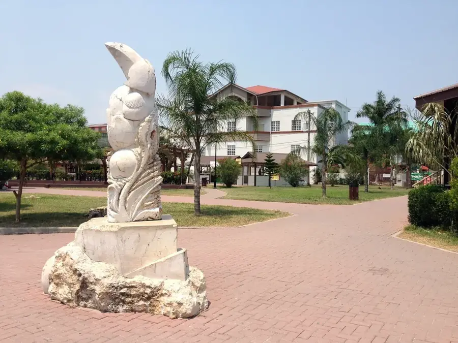
Sights nearby
💡 Tips
- Stop for a refreshing swim at the Roaring Creek bridge where locals gather.
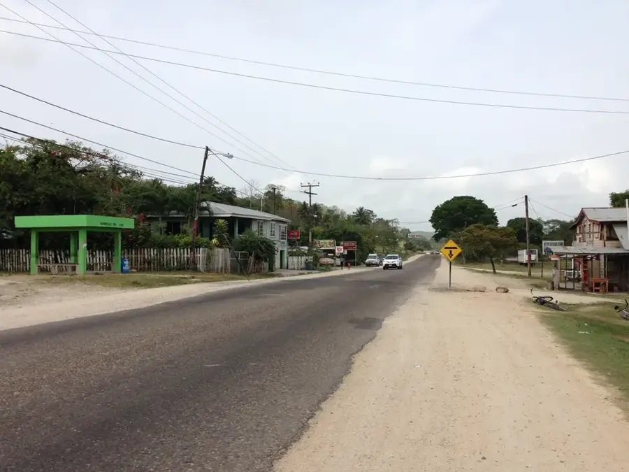
- Traffic at the highway junction can be busy; cross the road carefully.
- Buses to Belmopan and San Ignacio stop here frequently, making it a good transit hub.
- Bring insect repellent if visiting the riverbanks at dusk to avoid mosquito bites.
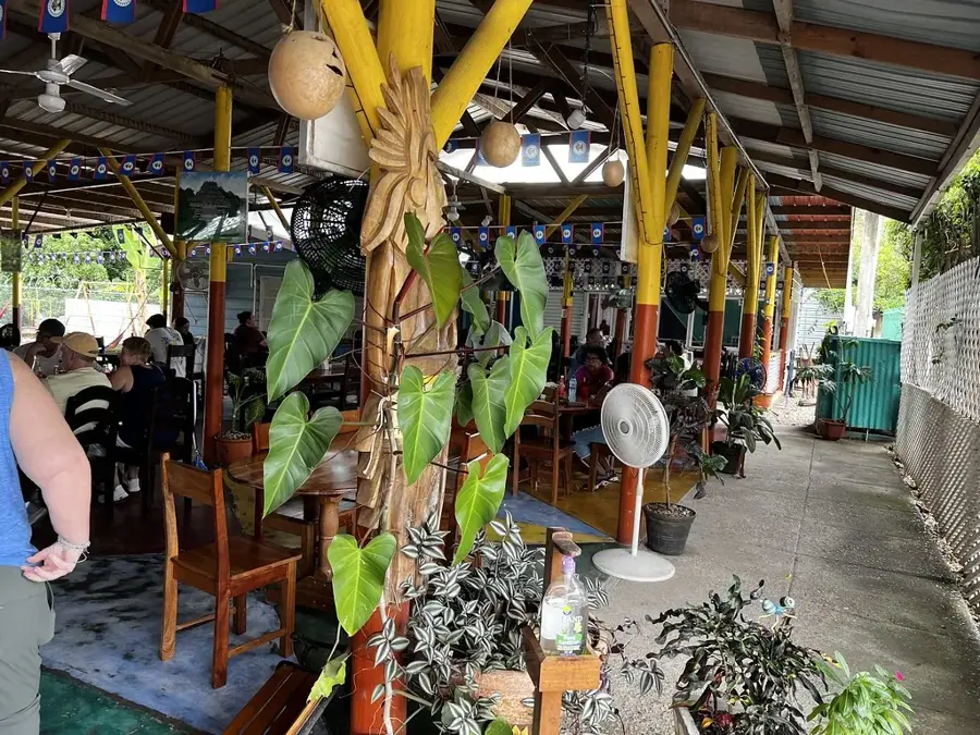
🍽 Food
Available at local roadside stalls near the main highway junction.
Look for small breakfast joints along the Hummingbird Highway.
Sold by independent vendors at the crossroads.
🛍 Shopping · 🧘 Quiet spots
Highway fruit stands offer seasonal tropical fruits.
Small village shops stock water and snacks for your journey.
Quiet spots along the water flow, away from the main bridge.
Shaded, peaceful areas near the outskirts of the settlement.
Water temperature…
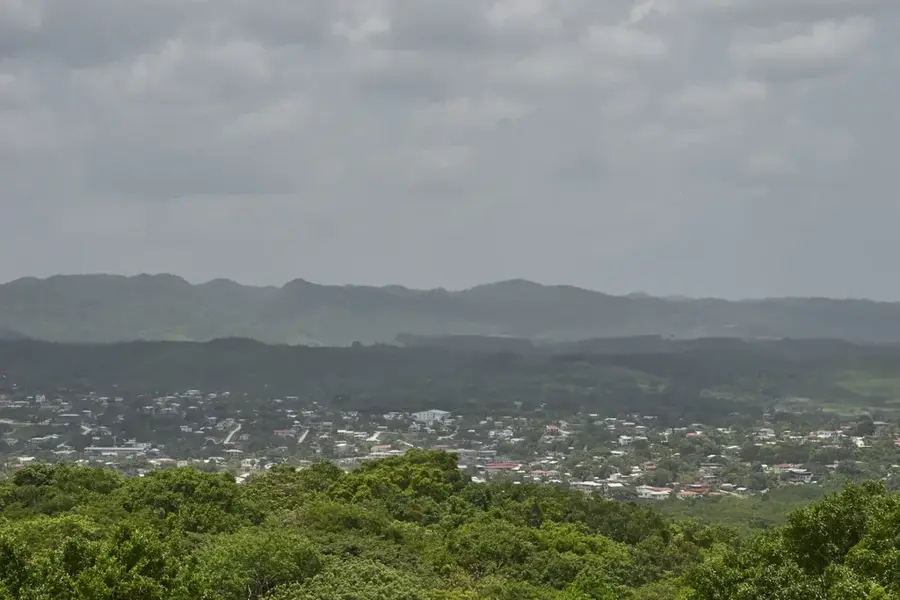
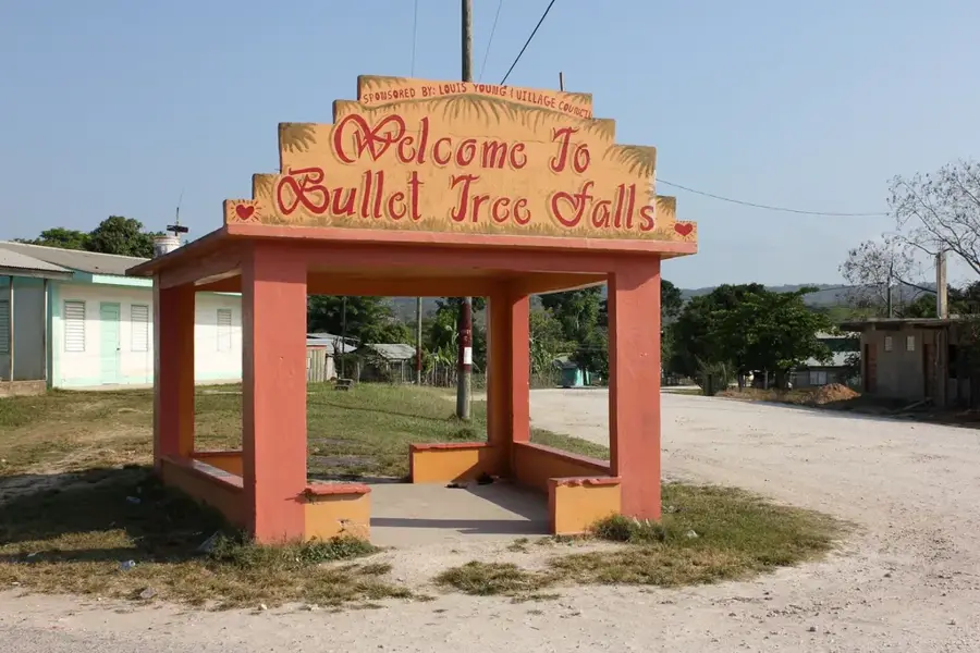
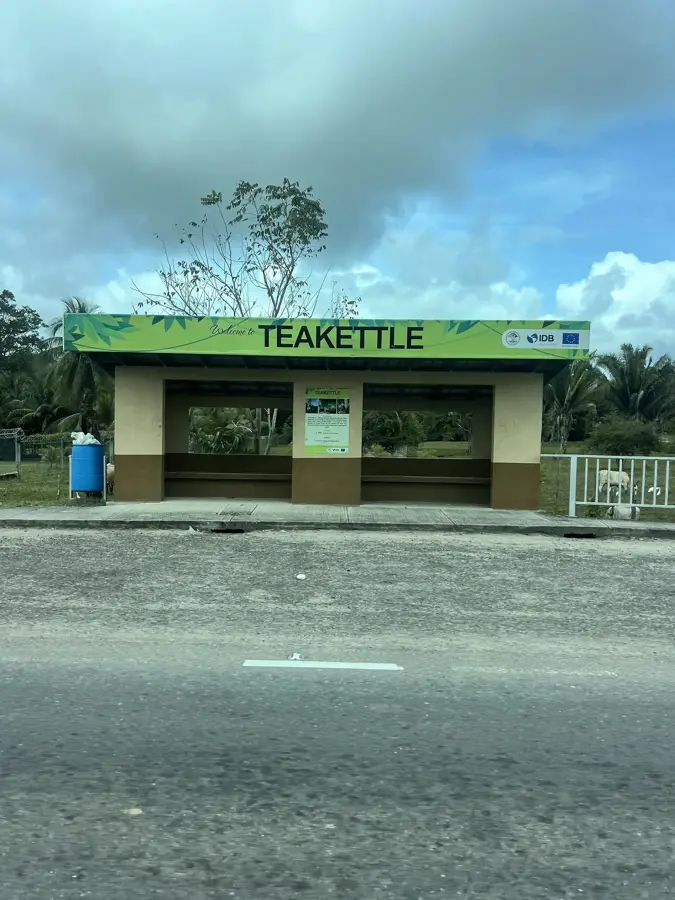
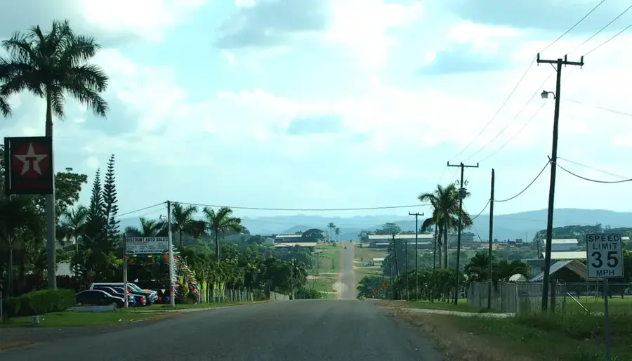
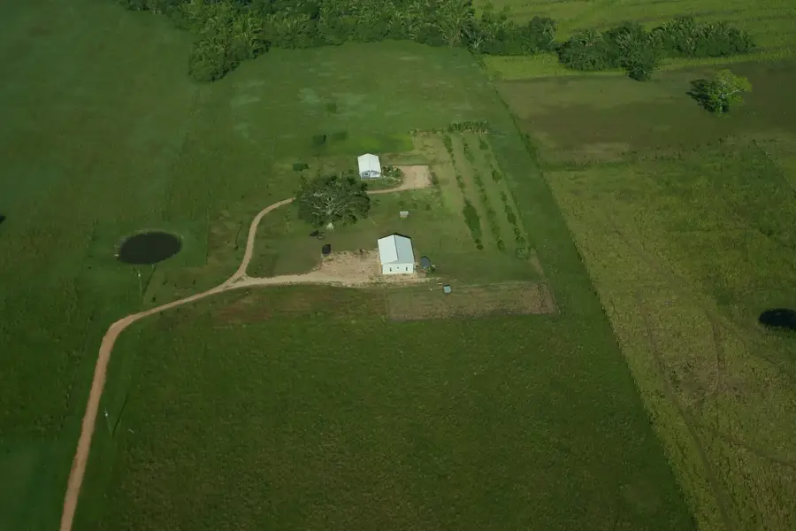
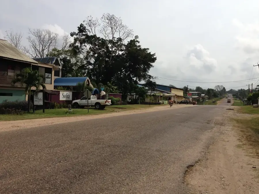
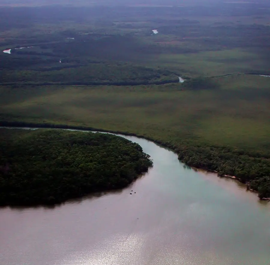
Roaring Creek is a major village in the Cayo District, strategically located at the junction of the George Price Highway and the Hummingbird Highway, just west of the capital city, Belmopan. The village derives its name from the creek of the same name that flows into the Belize River and once played a vital role in the logging industry. Historically, Roaring Creek was a significant stopping point for travelers and traders traversing the interior of the country long before the modern capital was established. Its geography is defined by its proximity to the Belize River and the surrounding limestone hills, which house numerous caves and underground waterways. The community is bustling and diverse, featuring a mix of Creole, Mestizo, and Maya populations. Today, Roaring Creek serves as a major transportation hub, providing easy access to tourist attractions such as the Guanacaste National Park and various adventure parks. Despite increasing traffic, the village has maintained a relaxed character, acting as a link between the urban activity of Belmopan and the natural splendor of the Cayo uplands.
- Location: Belize
- Top sights: Belize Bird Rescue · Rock Farm · Belize Monument
- Nearby: Santa Marta (Orange Walk) (4 km)
- Population: ~2.430 (2025)
Best time to visit & climate
The most pleasant time to visit is Jan–Mar.
| Jan | Feb | Mar | Apr | May | Jun | Jul | Aug | Sep | Oct | Nov | Dec | |
|---|---|---|---|---|---|---|---|---|---|---|---|---|
| Avg °C | 23 | 24 | 26 | 28 | 28 | 27 | 27 | 27 | 27 | 25 | 24 | 23 |
| Rain mm | 101 | 55 | 45 | 34 | 118 | 230 | 149 | 174 | 198 | 243 | 170 | 126 |
Geography
Facts
- Roaring Creek is located just 3 kilometers west of Belmopan.
- The community has a population of approximately 2,000 inhabitants.
- Prior to 1970, the village was a more significant population center than neighboring Belmopan.
- Guanacaste National Park is situated right on the edge of the village.
- The bridge over Roaring Creek is a critical point in the Belizean road network.
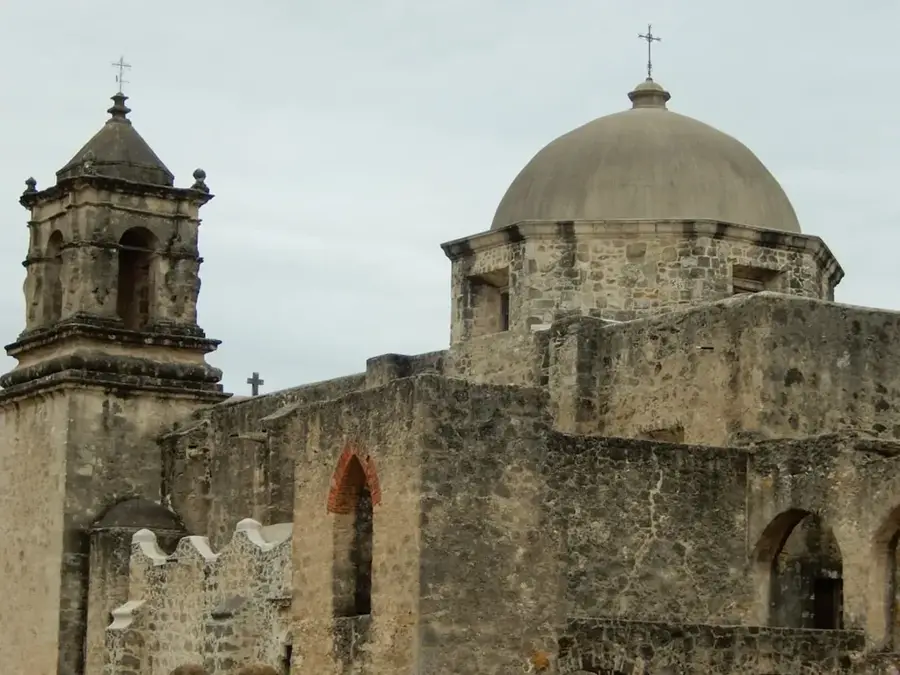
- The village is home to one of the oldest churches in the region.
Explore nearby
Notable places around
Route planner — Car & Motorhome
Where do you start? We build the route here, with stops and country notes along the way.
© OpenStreetMap contributors · OpenRouteService
Sights in the town Roaring Creek (7)
Frequently asked questions
Where does the name Roaring Creek come from?
What is located near Roaring Creek?
Can you swim in the river?
Are there gas stations there?
Which highway passes through Roaring Creek?
Roaring Creek: where is it located?
Roaring Creek: what is there to see?
Roaring Creek: when is the best time to visit?
Roaring Creek: why is it worth visiting?

Nearby cities