Plizio Visual Lab
Montana de Yoro National Park
Weather…
Water temperature…
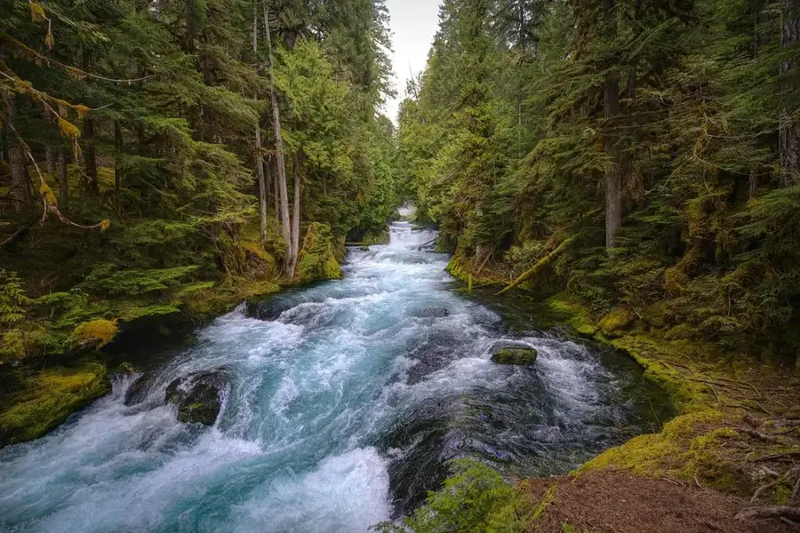
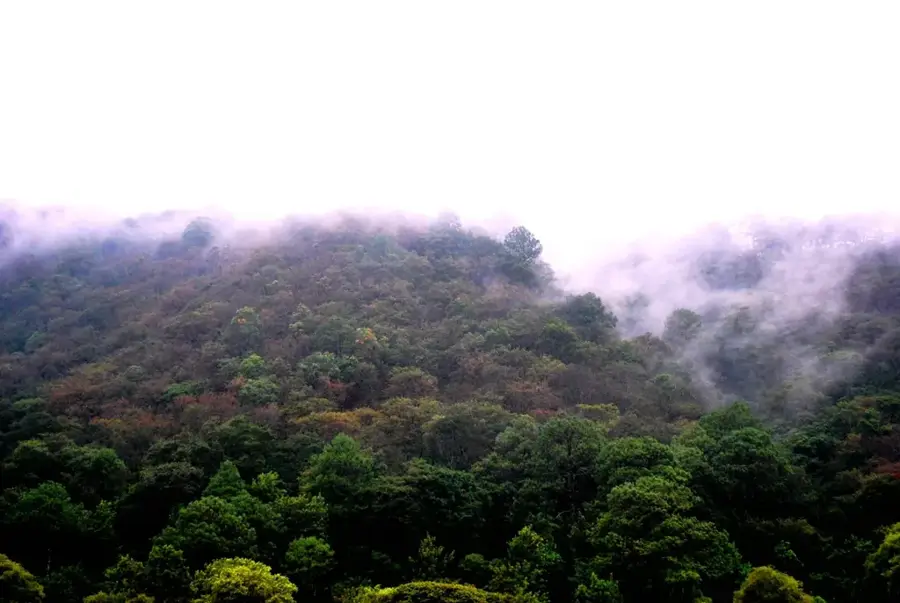
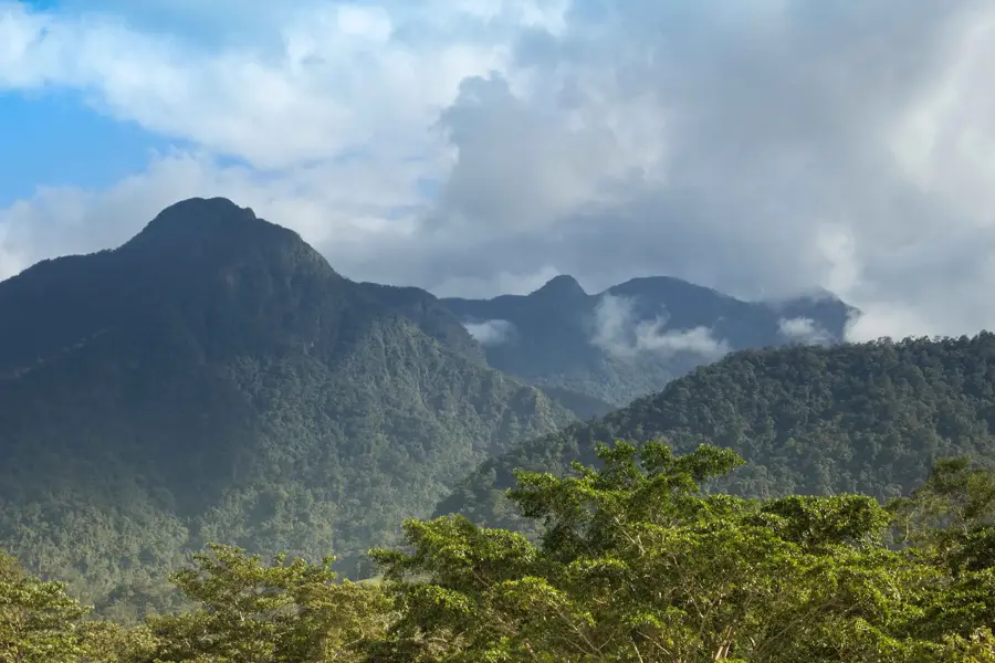
The Montaña de Yoro National Park is located in northern Honduras, spanning the departments of Yoro and Francisco Morazán. It protects a significant mountain range characterized by extensive cloud and pine forests, with peaks reaching altitudes of up to 2,245 meters. Geographically, the park is of great importance as it serves as a vital water catchment area for both the Sula and Aguan Valleys. Its biodiversity is remarkable; the park provides a habitat for numerous rare bird species, including the Honduran Emerald hummingbird and the resplendent quetzal. Culturally, the region is deeply connected to the indigenous Tolupán communities, who reside in the surrounding areas and maintain a spiritual bond with the mountains. Established in 1987, the park's primary goal is to preserve these unique ecosystems from illegal logging and agricultural encroachment. Visitors are drawn to the rugged beauty of the landscape and the exceptional birdwatching opportunities in a nearly untouched environment. Due to its challenging accessibility, the park remains a sanctuary for endangered wildlife and a symbol of the pristine nature of the Honduran highlands.
- Location: Honduras
- Nearby: Ojojona (7 km)
Best time to visit & climate
The most pleasant time to visit is Jan–Mar.
| Jan | Feb | Mar | Apr | May | Jun | Jul | Aug | Sep | Oct | Nov | Dec | |
|---|---|---|---|---|---|---|---|---|---|---|---|---|
| Avg °C | 20 | 22 | 23 | 25 | 25 | 24 | 24 | 24 | 24 | 23 | 21 | 20 |
| Rain mm | 71 | 48 | 41 | 37 | 109 | 159 | 121 | 130 | 167 | 167 | 125 | 85 |
📋 Practical info
Geography
Facts
- The park covers a total area of approximately 155 square kilometers.
- The highest peak, Cerro Montaña de Yoro, reaches an elevation of 2,245 meters.
- It is one of the rare habitats for the endemic Honduran Emerald hummingbird.
- The nearby city of Yoro is famous for the 'Rain of Fish' meteorological phenomenon.
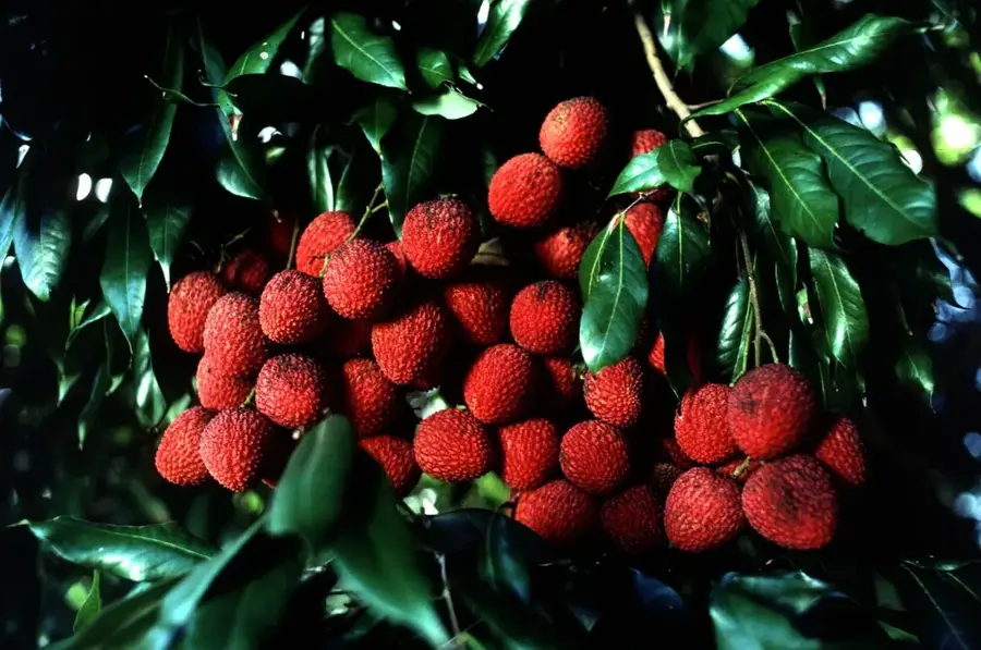
- Indigenous Tolupán people use the park's resources for traditional medicine.
- It was officially designated a protected area by Decree 87-87 in 1987.
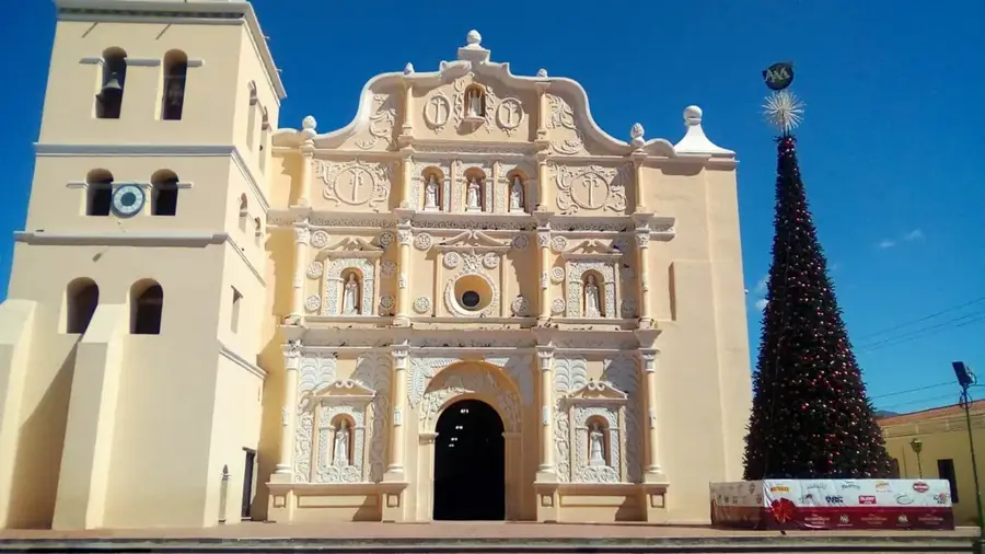
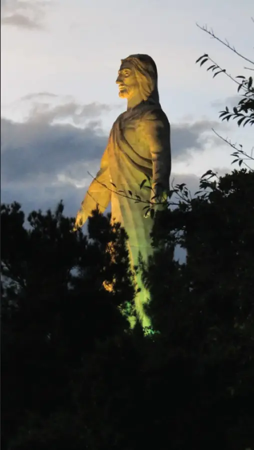
Explore nearby
Notable places around
Route planner — Car & Motorhome
Where do you start? We build the route here, with stops and country notes along the way.
© OpenStreetMap contributors · OpenRouteService
Sights nearby
Frequently asked questions
What is the Yoro region known for?
Can you camp in the park?
What flora can be found here?
Are there marked hiking trails?
How high are the mountains in the park?
Montana de Yoro National Park: where is it located?
Montana de Yoro National Park: when is the best time to visit?
Montana de Yoro National Park: why is it worth visiting?

Nearby cities


History & landmarks
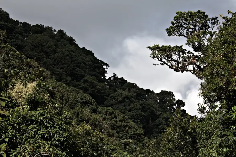

Nature
More places