Plizio Visual Lab
Pico Pijol
Weather…
Water temperature…
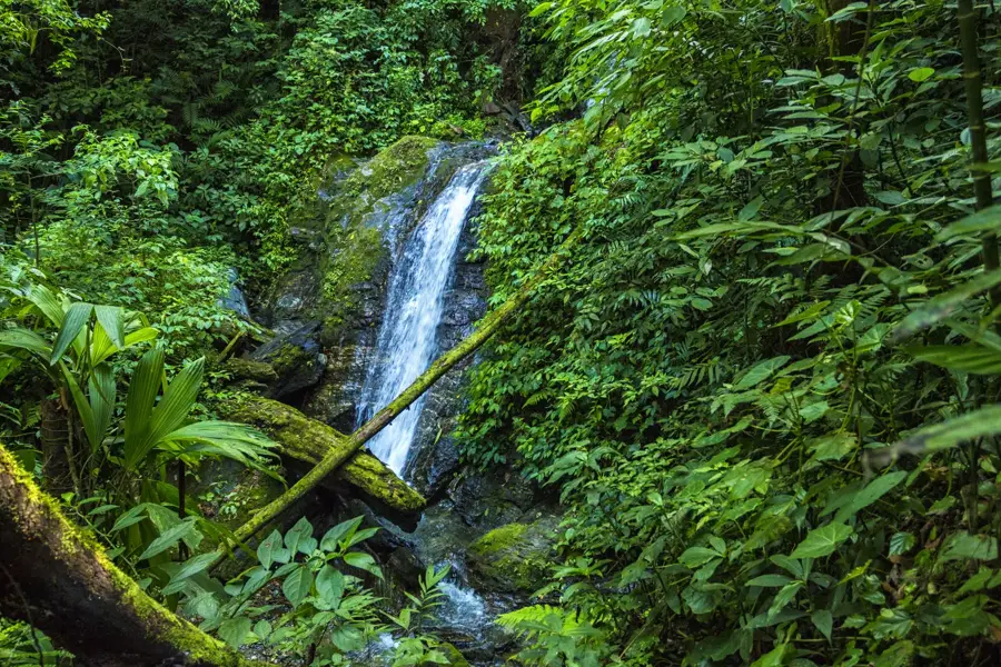
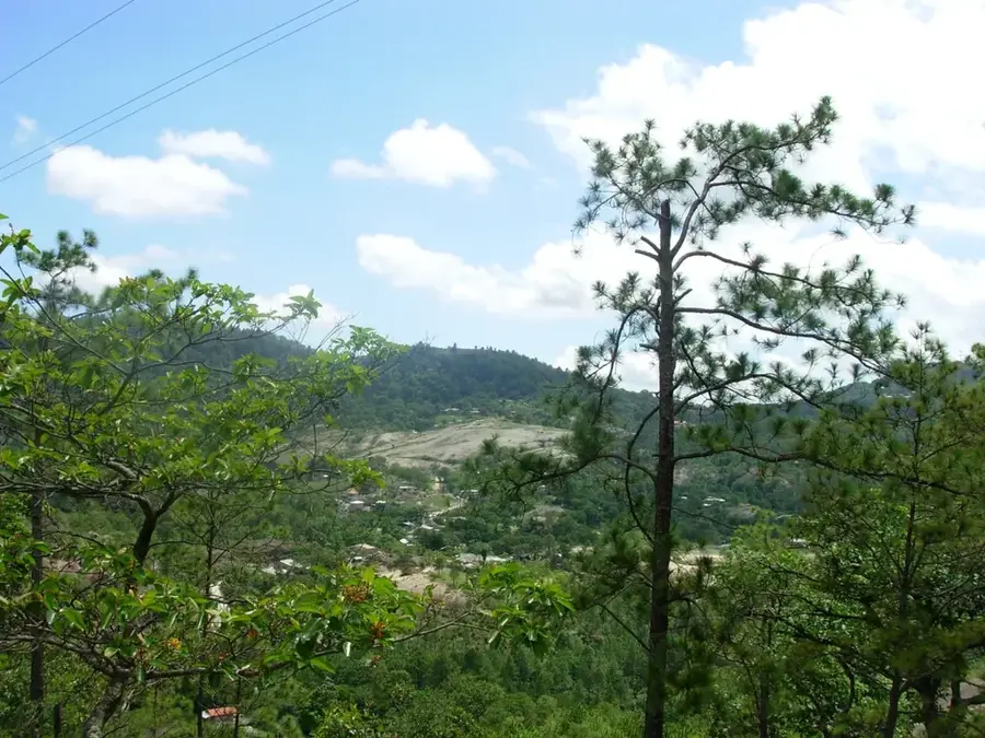
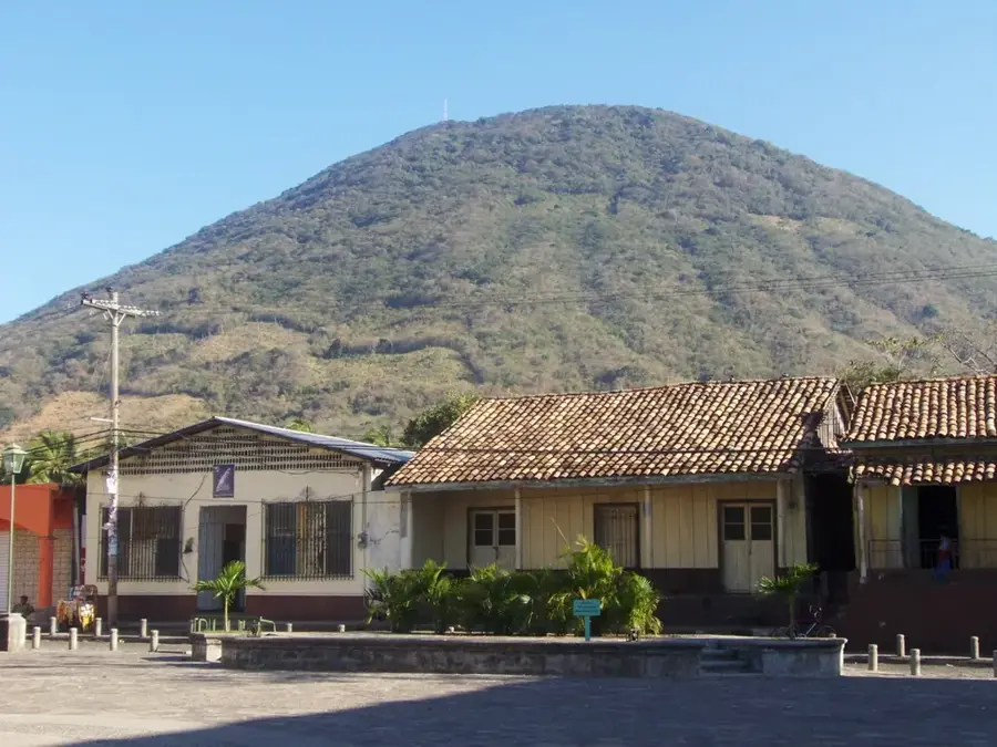
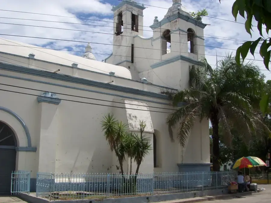
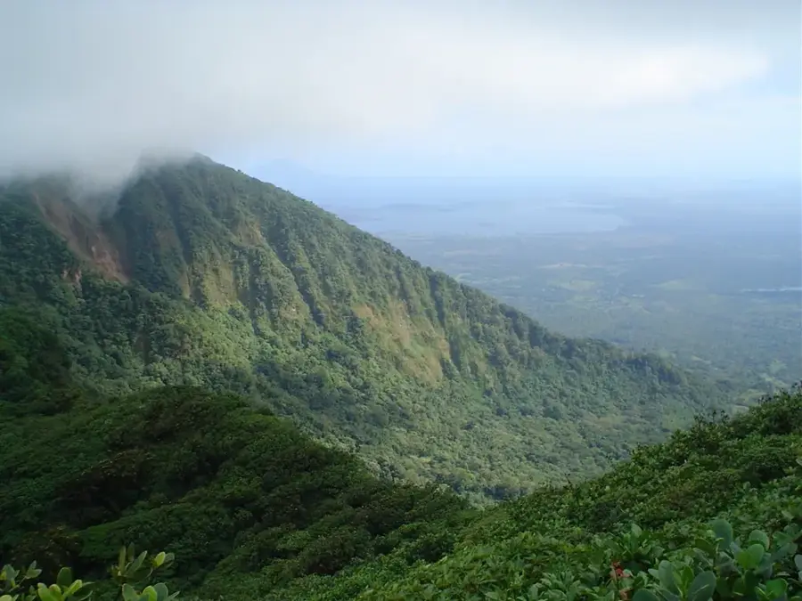
Pico Pijol is a prominent mountain located in the Yoro Department of northern Honduras, forming part of the Sierra de Sulaco mountain range. Rising to an elevation of 2,282 meters above sea level, it stands as the highest peak in its immediate vicinity and is protected within the Pico Pijol National Park. This park was established by legislative decree in 1987 to preserve the unique cloud forest ecosystems found at higher altitudes. The mountain serves as a vital watershed for the region, supplying fresh water to numerous downstream communities and supporting diverse flora and fauna, including rare bird species like the resplendent quetzal. The terrain is characterized by steep slopes and dense vegetation, which has naturally limited human encroachment and helped maintain the biological integrity of the area. Geologically, the region is part of the central cordillera of Honduras, featuring ancient metamorphic and sedimentary rock formations. Today, the park is a significant center for scientific research and ecotourism, although accessibility remains challenging due to the rugged and undeveloped landscape.
- Location: Honduras
- Nearby: Comayagua (7 km)
Best time to visit & climate
The most pleasant time to visit is Jan–Mar.
| Jan | Feb | Mar | Apr | May | Jun | Jul | Aug | Sep | Oct | Nov | Dec | |
|---|---|---|---|---|---|---|---|---|---|---|---|---|
| Avg °C | 20 | 22 | 23 | 25 | 25 | 24 | 24 | 24 | 24 | 23 | 21 | 20 |
| Rain mm | 71 | 48 | 41 | 37 | 109 | 159 | 121 | 130 | 167 | 167 | 125 | 85 |
📋 Practical info
Geography
Facts
- The peak reaches a maximum elevation of 2,282 meters above sea level.
- Pico Pijol National Park was officially established on August 5, 1987.
- The protected area covers approximately 122 square kilometers of land.
- The mountain is part of the Sierra de Sulaco range in northern Honduras.
- Its cloud forest habitat is a sanctuary for the resplendent quetzal.
- The mountain acts as a vital water source for the surrounding Yoro region.
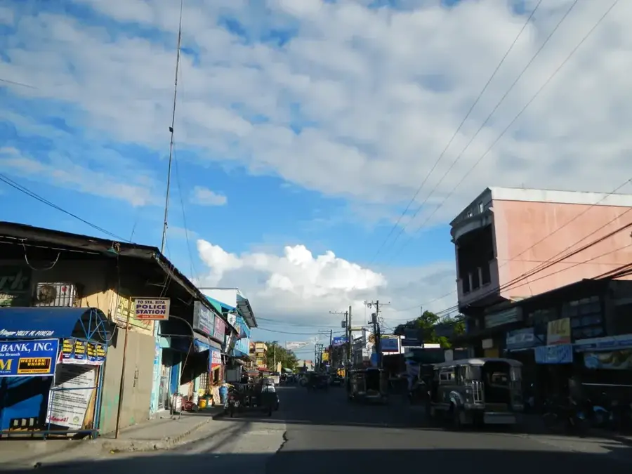
Explore nearby
Notable places around
Route planner — Car & Motorhome
Where do you start? We build the route here, with stops and country notes along the way.
© OpenStreetMap contributors · OpenRouteService
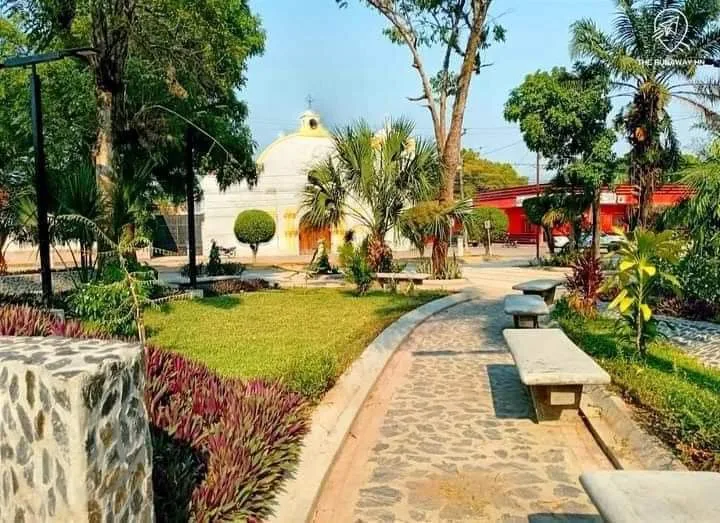
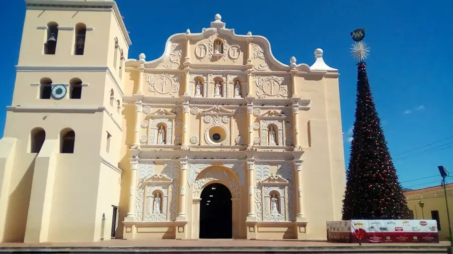
Sights in the town Pico Pijol (1)
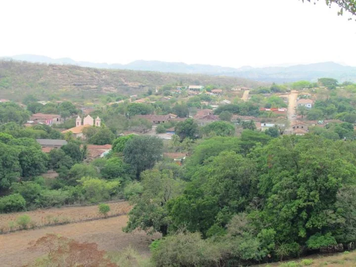
Sights nearby
Frequently asked questions
How difficult is the hike to the summit?
What is the altitude of Pico Pijol?
Are there rare animals there?
Is a permit required?
What is the weather like on the mountain?
Pico Pijol: where is it located?
Pico Pijol: when is the best time to visit?
Pico Pijol: why is it worth visiting?

Nearby cities


History & landmarks
Nature
More places