Plizio Visual Lab
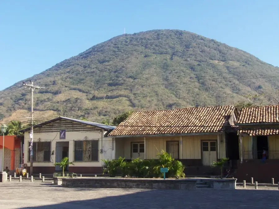
Montaña de Comayagua National Park
Weather…
Water temperature…
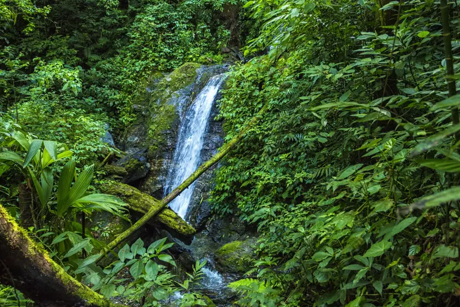
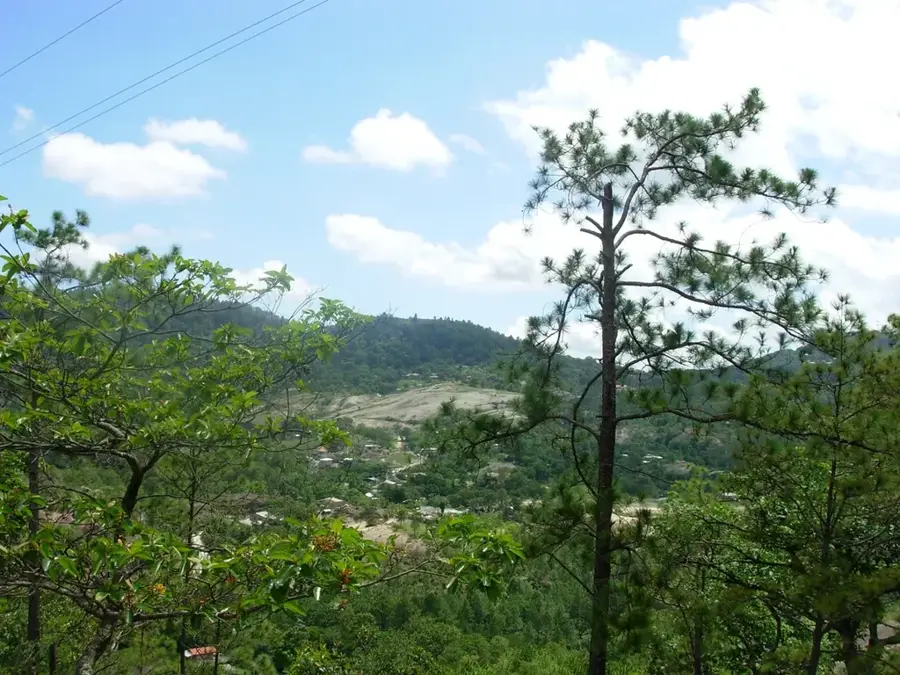
Montaña de Comayagua National Park, also known as PANACOMA, is located in central Honduras and protects a vital mountain range. Established in 1987, the park's primary mission is to safeguard the watersheds that provide water to the city of Comayagua and its fertile valley. The park's higher elevations are cloaked in magnificent cloud forests, creating a cool, damp environment. This habitat supports numerous endemic plant species and a wealth of wildlife, including pumas, jaguars, and the resplendent quetzal. Its steep slopes and deep ravines feature spectacular waterfalls and challenging trails for hikers. The park is a critical component of regional climate stability and conservation.
- Location: Honduras
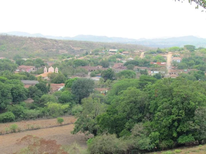
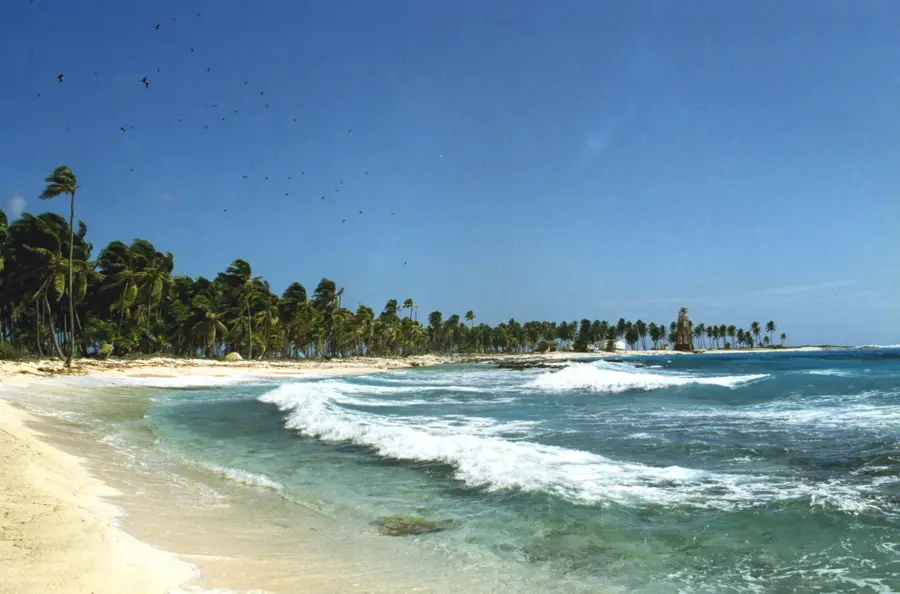
- Nearby: Triunfo de la Cruz (5 km)
Best time to visit & climate
The most pleasant time to visit is Jan–Mar.
| Jan | Feb | Mar | Apr | May | Jun | Jul | Aug | Sep | Oct | Nov | Dec | |
|---|---|---|---|---|---|---|---|---|---|---|---|---|
| Avg °C | 20 | 21 | 23 | 25 | 24 | 23 | 22 | 23 | 22 | 21 | 20 | 20 |
| Rain mm | 27 | 20 | 20 | 39 | 139 | 183 | 120 | 140 | 188 | 158 | 67 | 46 |
📋 Practical info
Geography
Facts
- The park covers an area of approximately 300 km².
- The highest point reaches an elevation of 2,407 meters.
- It was officially established on January 1, 1987.
- Over 200 species of birds have been documented in the park.
- The park is home to rare tree ferns and bromeliads.
- It serves as the primary water source for over 50 communities.
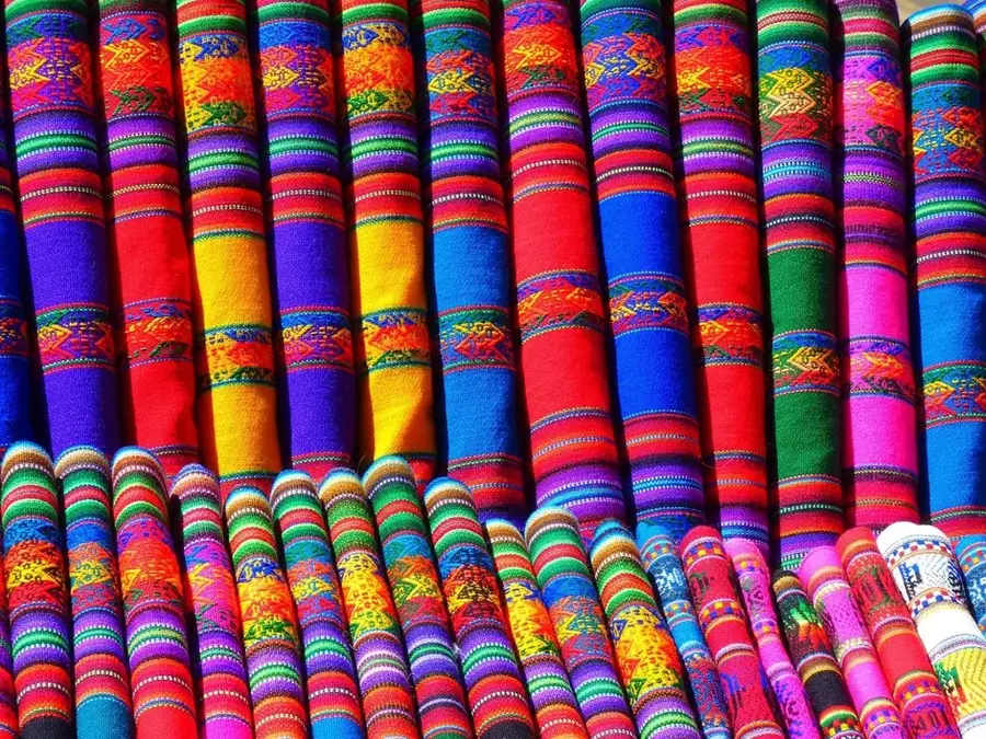
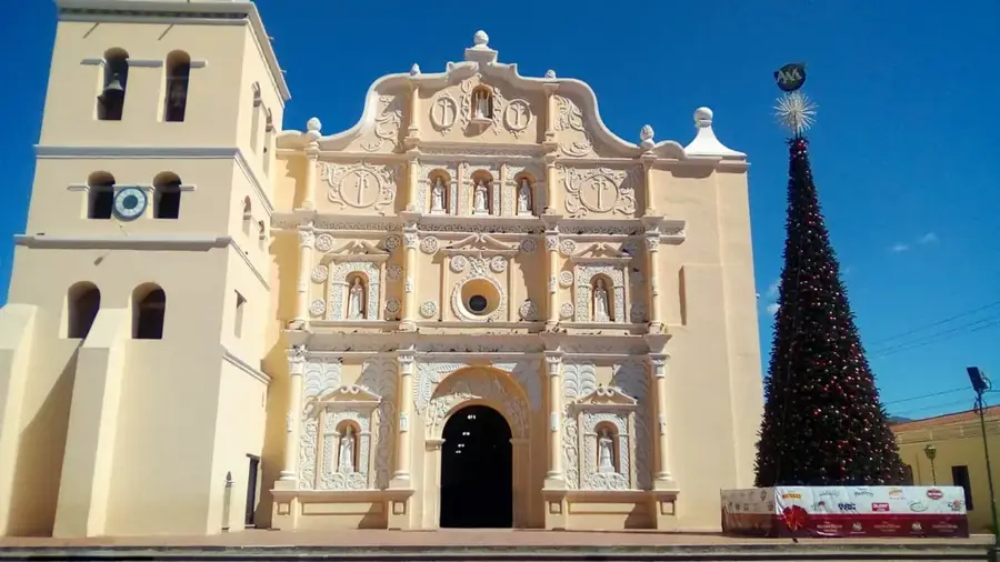
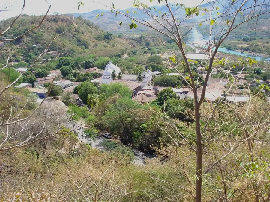
Explore nearby
Notable places around
Route planner — Car & Motorhome
Where do you start? We build the route here, with stops and country notes along the way.
© OpenStreetMap contributors · OpenRouteService
Sights nearby
Frequently asked questions
How high is the highest point in the national park?
Can the Quetzal bird be seen there?
Are there hiking trails?
How far is it from the city of Comayagua?
Do I need a 4x4 vehicle?
Montaña de Comayagua National Park: where is it located?
Montaña de Comayagua National Park: when is the best time to visit?
Montaña de Comayagua National Park: why is it worth visiting?

Nearby cities
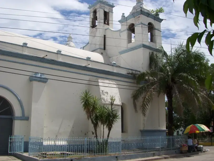

History & landmarks

Nature
More places