Plizio Visual Lab
Pico Bonito National Park
Weather…
Water temperature…
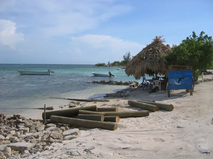
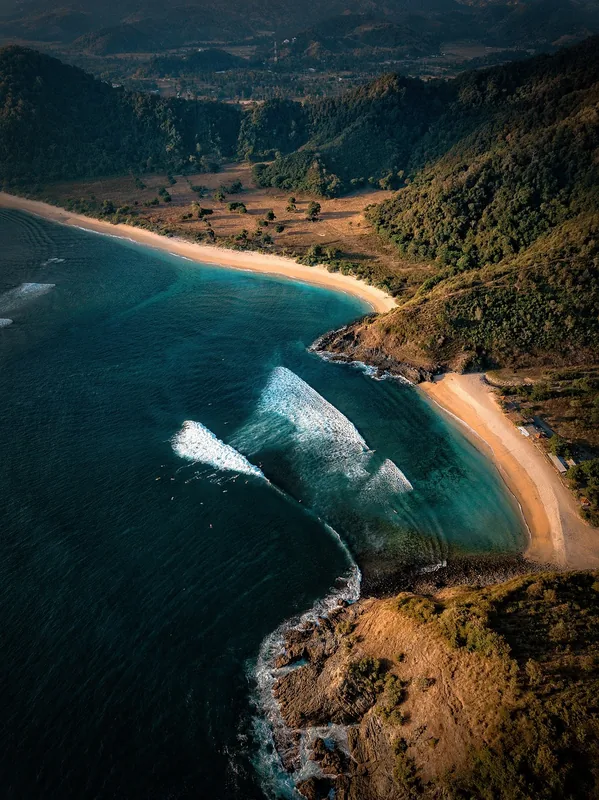
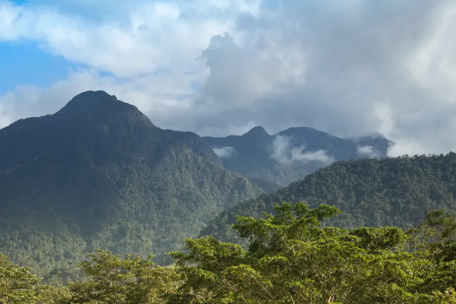
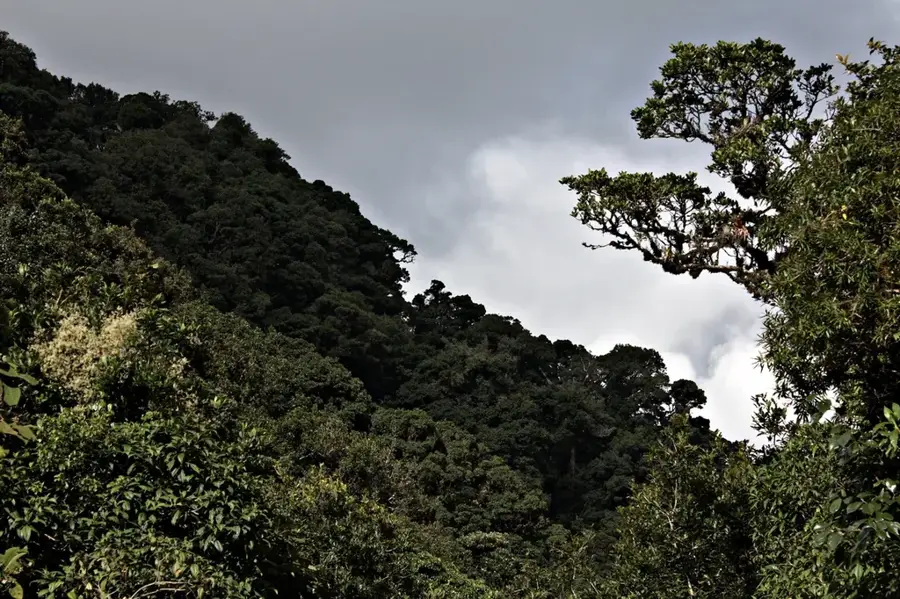
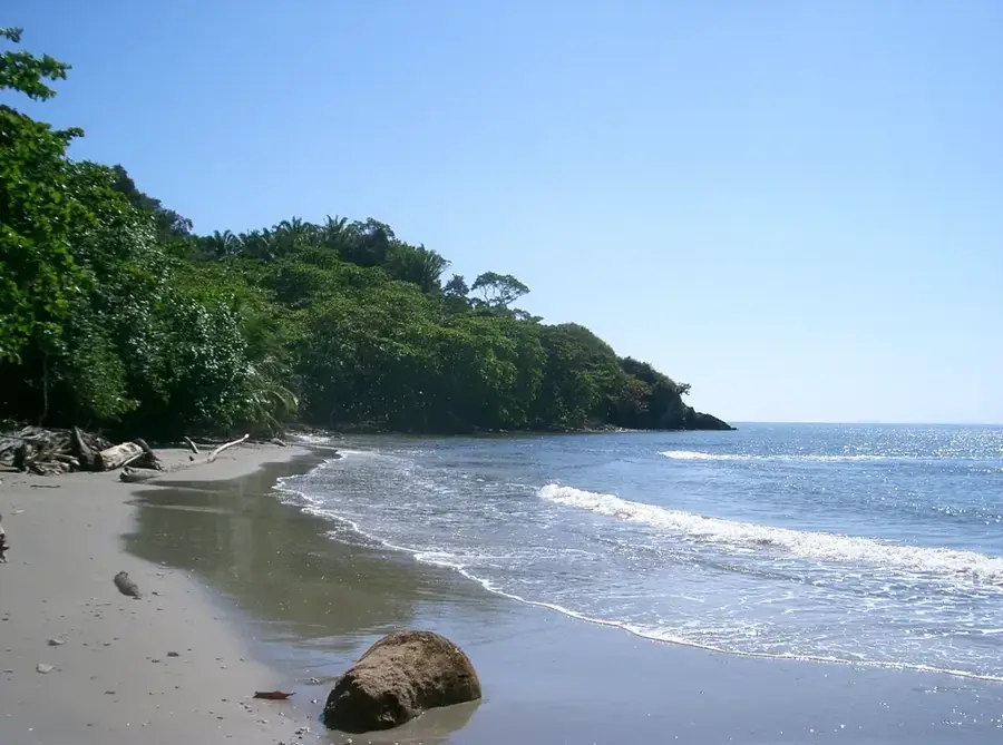
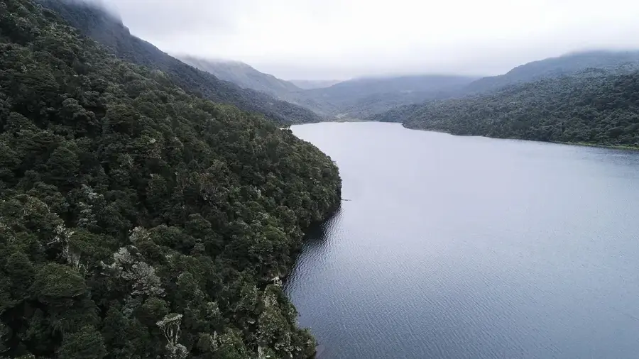
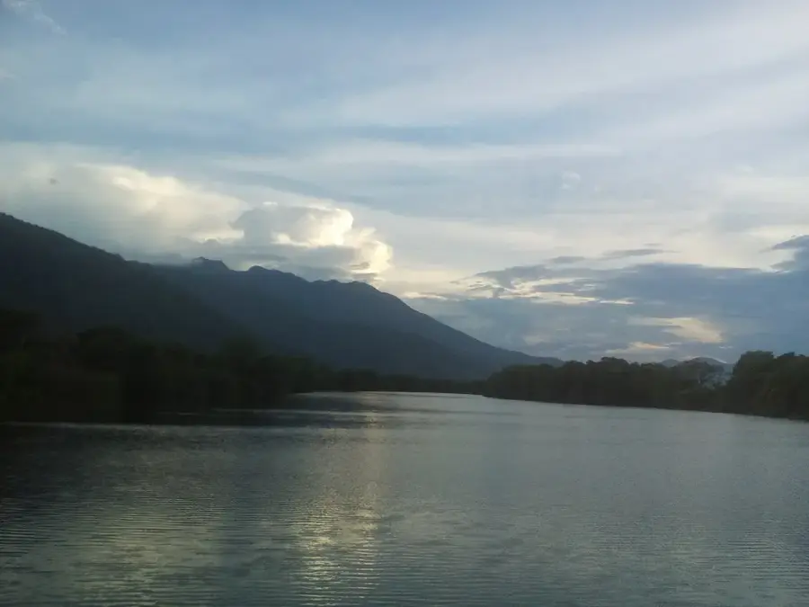
Pico Bonito National Park is one of the most iconic natural landmarks in Honduras, located directly behind the coastal city of La Ceiba. Part of the Nombre de Dios mountain range, it covers an area of 564 square kilometers. The namesake Pico Bonito peak reaches an elevation of 2,435 meters and is famously difficult to summit due to its steep, nearly vertical slopes. The park's ecosystems vary significantly, ranging from lowland tropical rainforests at the mountain's base to dry tropical forests on the rain-shadow side. Numerous fast-flowing rivers traverse the park, including the Cangrejal River, which is a popular destination for whitewater rafting. Wildlife within the park includes jaguars, tapirs, and a vast array of tropical birds. Pico Bonito is not only a hub for ecotourism but also crucial for climate regulation and water supply for the northern coast.
- Location: Honduras
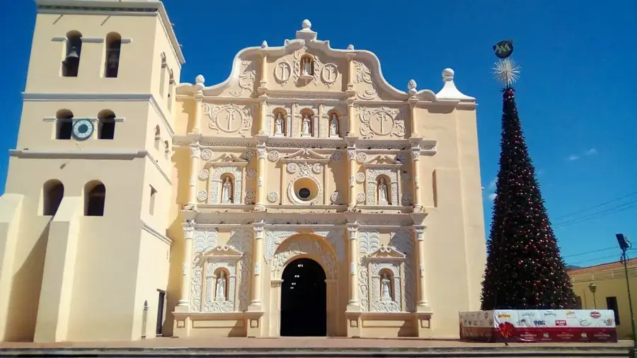
- Nearby: La Ceiba (5 km)
Best time to visit & climate
The most pleasant time to visit is Feb–Apr.
| Jan | Feb | Mar | Apr | May | Jun | Jul | Aug | Sep | Oct | Nov | Dec | |
|---|---|---|---|---|---|---|---|---|---|---|---|---|
| Avg °C | 21 | 22 | 23 | 25 | 26 | 25 | 25 | 25 | 25 | 24 | 22 | 21 |
| Rain mm | 164 | 100 | 78 | 46 | 94 | 139 | 121 | 128 | 150 | 238 | 249 | 172 |
📋 Practical info
Geography
Facts
- Elevation of Pico Bonito peak: 2,435 meters
- Area of approximately 564 square kilometers
- Established in 1987
- Adjacent to the Cangrejal River (rafting spot)
- Home to rare jaguars and tapirs
- Encompasses multiple climatic zones
Explore nearby
Notable places around
Route planner — Car & Motorhome
Where do you start? We build the route here, with stops and country notes along the way.
© OpenStreetMap contributors · OpenRouteService
Sights nearby
Frequently asked questions
What is the landmark of Pico Bonito?
Can you do rafting on the Cangrejal River?
How is the climate in the park?
Are there easy hiking trails?
Can you see jaguars there?
Pico Bonito National Park: where is it located?
Pico Bonito National Park: when is the best time to visit?
Pico Bonito National Park: why is it worth visiting?

Nearby cities


History & landmarks

Nature
More places