Plizio Visual Lab
Yoro Agriculture

Weather…
Water temperature…
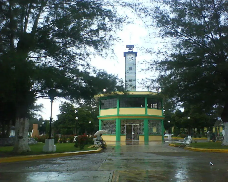
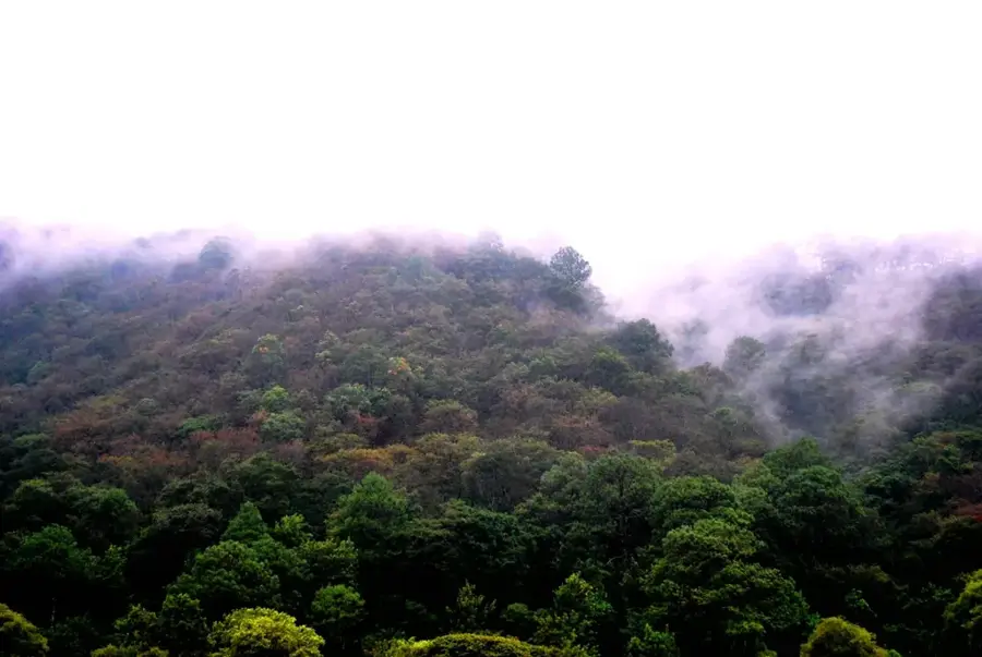
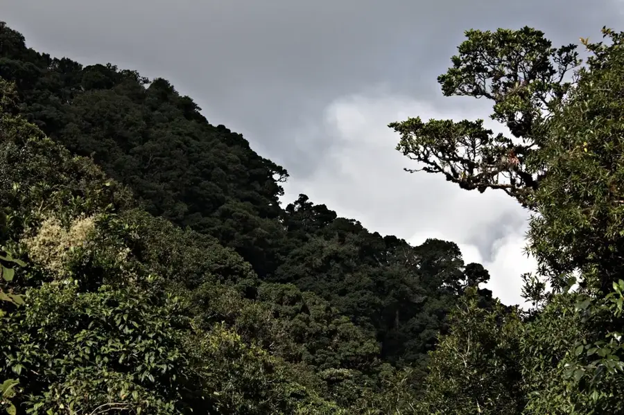
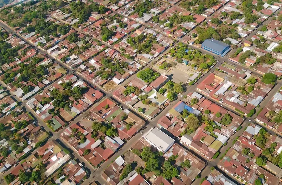
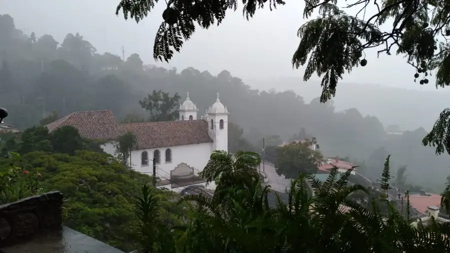
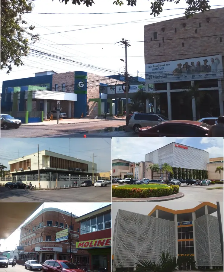
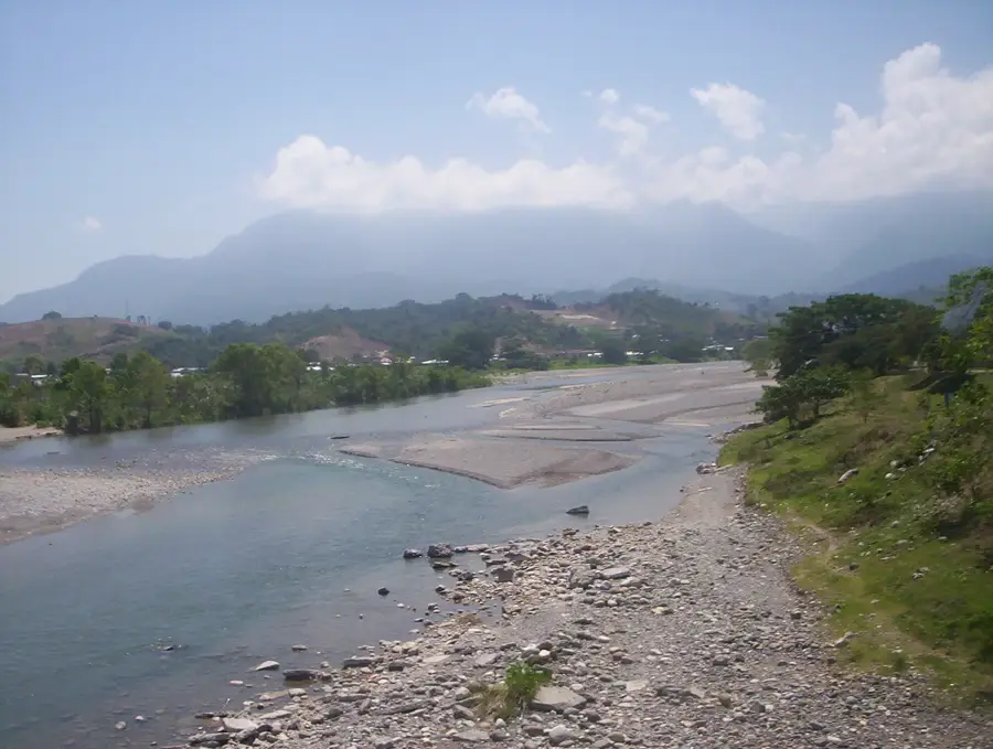
Yoro serves as the administrative capital of the Yoro Department in northern Honduras, acting as a significant engine for the nation's agricultural sector. The city is set in a fertile valley surrounded by the Nombre de Dios and Sulaco mountain ranges, which provide the necessary climatic conditions for diverse crop production. Its economic landscape is dominated by the cultivation of staple grains such as maize and beans, alongside high-quality coffee grown in the surrounding highlands. Livestock farming, particularly cattle ranching, remains a cornerstone of the local economy, supporting both dairy production and regional meat markets. Officially designated as a city in 1852, Yoro has historically evolved into a strategic trading hub connecting the northern coast with the central interior. The region's infrastructure facilitates the distribution of agricultural goods to major urban centers like San Pedro Sula. Today, Yoro continues to maintain its status as a vital agricultural provider for the Honduran population.
- Location: Honduras
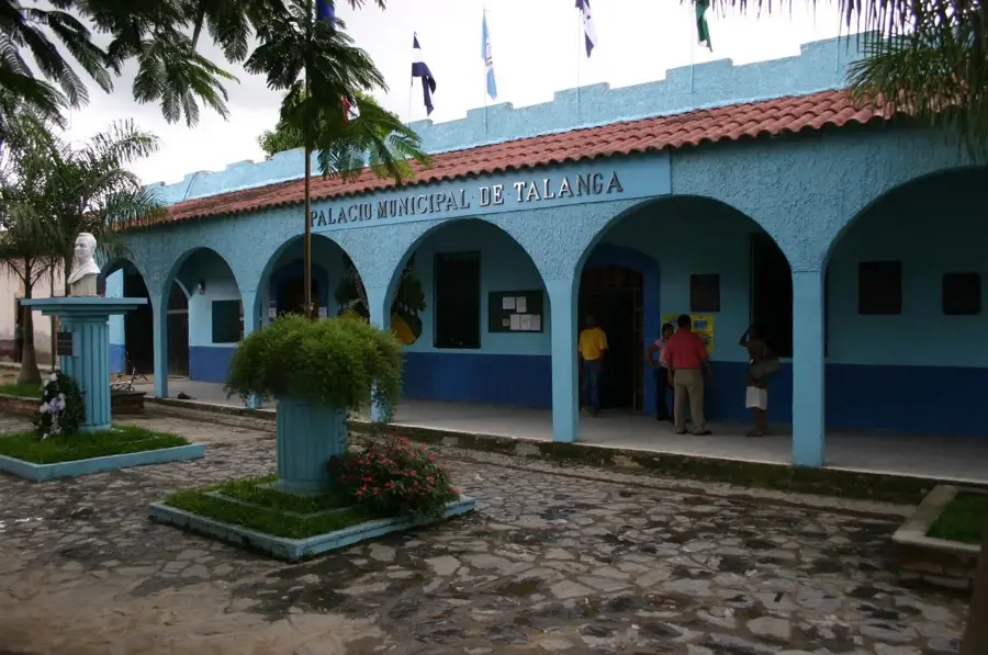
- Nearby: Talanga (7 km)
Best time to visit & climate
The most pleasant time to visit is Feb–Apr.
| Jan | Feb | Mar | Apr | May | Jun | Jul | Aug | Sep | Oct | Nov | Dec | |
|---|---|---|---|---|---|---|---|---|---|---|---|---|
| Avg °C | 19 | 21 | 22 | 25 | 25 | 23 | 23 | 23 | 23 | 22 | 20 | 20 |
| Rain mm | 86 | 57 | 48 | 39 | 106 | 151 | 115 | 120 | 147 | 177 | 145 | 103 |
📋 Practical info
Geography
Facts
- Yoro was officially recognized as a city in 1852.
- The municipality covers an area of approximately 2,277 km².
- Maize and beans are the primary staple crops of the region.
- The city sits at an average elevation of 400 meters above sea level.
- Yoro Department was established on June 28, 1825.
- Coffee production is concentrated in the cooler mountainous zones.
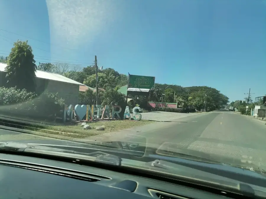
Explore nearby
Notable places around
Route planner — Car & Motorhome
Where do you start? We build the route here, with stops and country notes along the way.
© OpenStreetMap contributors · OpenRouteService
Sights nearby
Frequently asked questions
What are the main agricultural products in Yoro?
Is there agrotourism in Yoro?
What is the 'Lluvia de Peces' phenomenon?
How important is coffee in Yoro?
Are there agricultural fairs?
Yoro Agriculture: where is it located?
Yoro Agriculture: when is the best time to visit?
Yoro Agriculture: why is it worth visiting?

Nearby cities


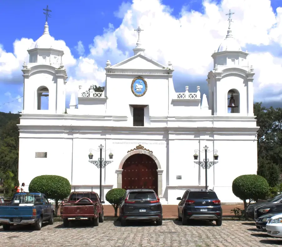
History & landmarks
Nature
More places