Plizio Visual Lab
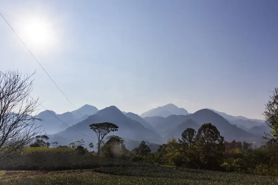
Comayagua Mountains

Weather…
Water temperature…
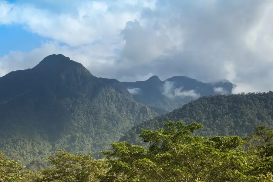
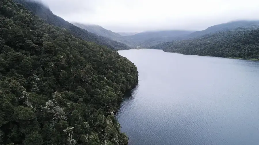
The Montaña de Comayagua National Park, also known by the acronym PANACOMA, is a vital protected area in central Honduras. Spanning the departments of Comayagua and Francisco Morazán, it safeguards a mountain range that reaches a peak elevation of 2,407 meters. Geographically, the park is of critical importance because its cloud forests serve as the primary water source for the city of Comayagua and its fertile valley. The vegetation consists of a rich mix of tropical coniferous and evergreen cloud forests, hosting a high density of endemic plant species. Its wildlife is diverse, featuring large cats like pumas, along with a wide variety of raptors and colorful toucans. Historically, the park was designated in 1987 to protect essential watersheds from the threats of increasing agricultural expansion. Today, the park gives well-maintained hiking trails leading to spectacular viewpoints overlooking the Comayagua Valley. The preservation of this ecosystem is a cornerstone of the ecological stability and economic development of Honduras's central region.
- Location: Honduras
- Nearby: Aramecina (4 km)
Best time to visit & climate
The most pleasant time to visit is Jan–Mar.
| Jan | Feb | Mar | Apr | May | Jun | Jul | Aug | Sep | Oct | Nov | Dec | |
|---|---|---|---|---|---|---|---|---|---|---|---|---|
| Avg °C | 20 | 21 | 23 | 25 | 24 | 23 | 22 | 23 | 22 | 21 | 20 | 20 |
| Rain mm | 27 | 20 | 20 | 39 | 139 | 183 | 120 | 140 | 188 | 158 | 67 | 46 |
📋 Practical info
Geography
Facts
- The park covers a total area of approximately 300 square kilometers.
- The highest peak is Cerro El Pital, reaching 2,407 meters above sea level.
- More than 30 waterfalls have been documented within the park boundaries.
- It serves as a critical refuge for the endangered resplendent quetzal.
- Average temperatures in the highland zones hover around 15°C.
- The park is co-managed by the local non-profit organization ECO-PANACOMA.
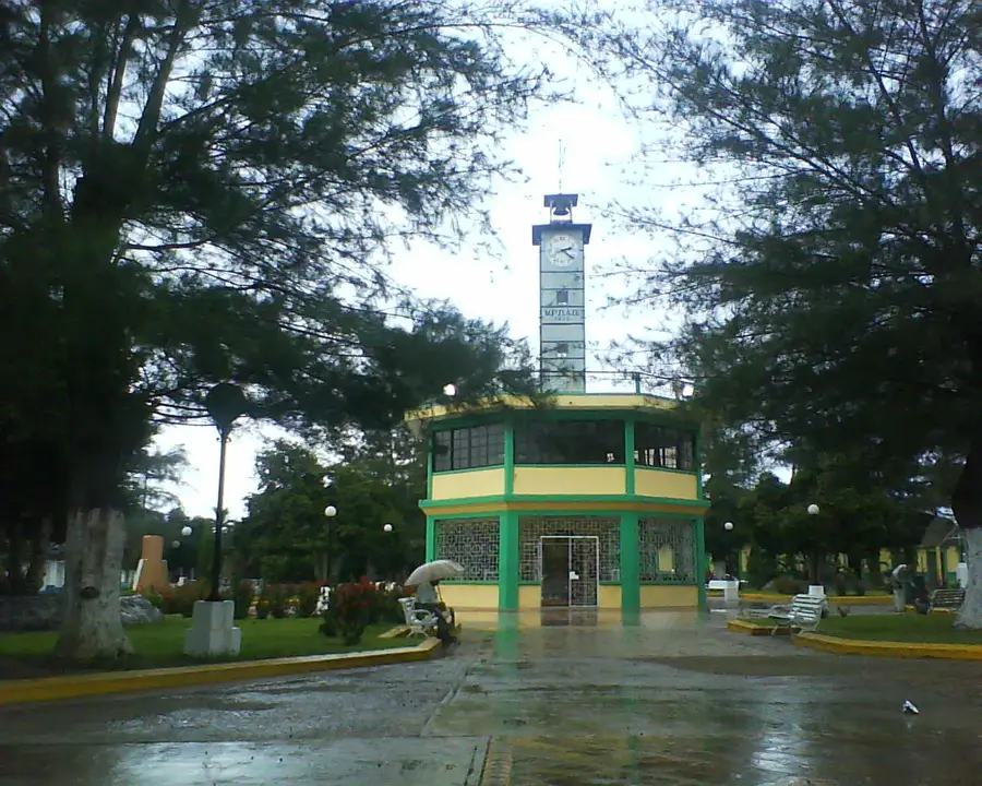
Explore nearby
Notable places around
Route planner — Car & Motorhome
Where do you start? We build the route here, with stops and country notes along the way.
© OpenStreetMap contributors · OpenRouteService
Sights nearby
Frequently asked questions
What is special about Montana de Comayagua?
Can you see the Quetzal there?
How far is it from the city of Comayagua?
Is there a visitor center?
Is a 4x4 vehicle needed for access?
Comayagua Mountains: where is it located?
Comayagua Mountains: when is the best time to visit?
Comayagua Mountains: why is it worth visiting?

Nearby cities

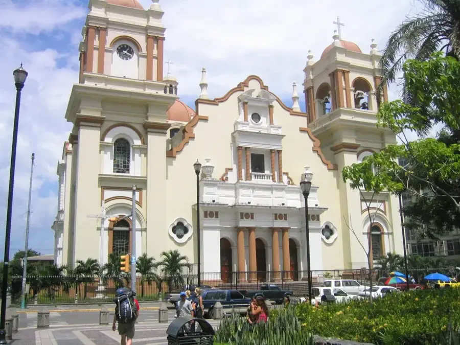

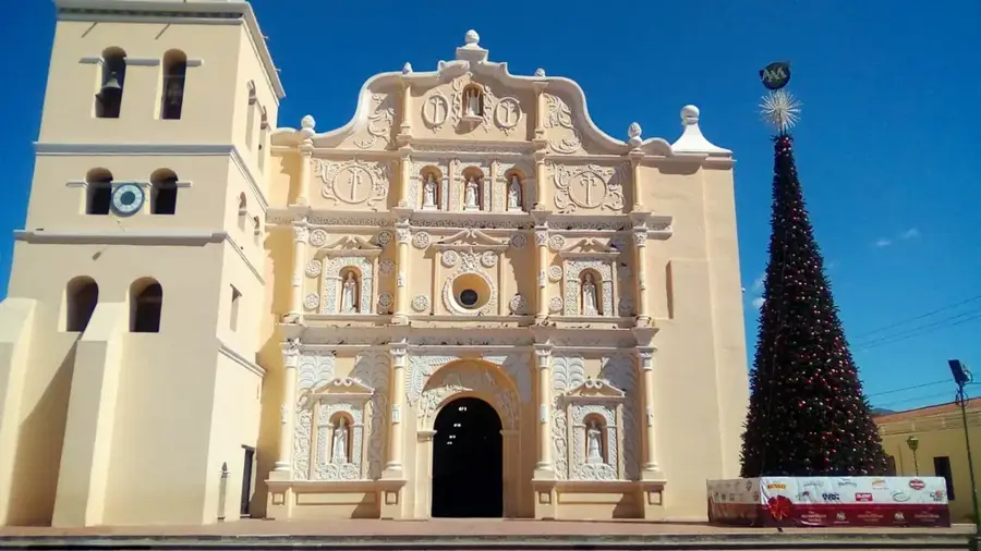
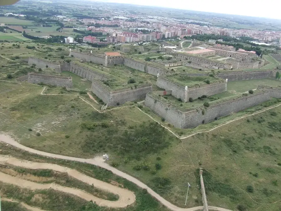
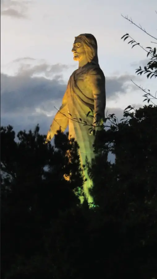
History & landmarks


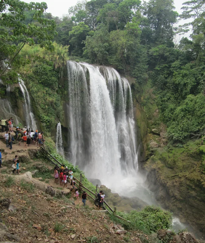
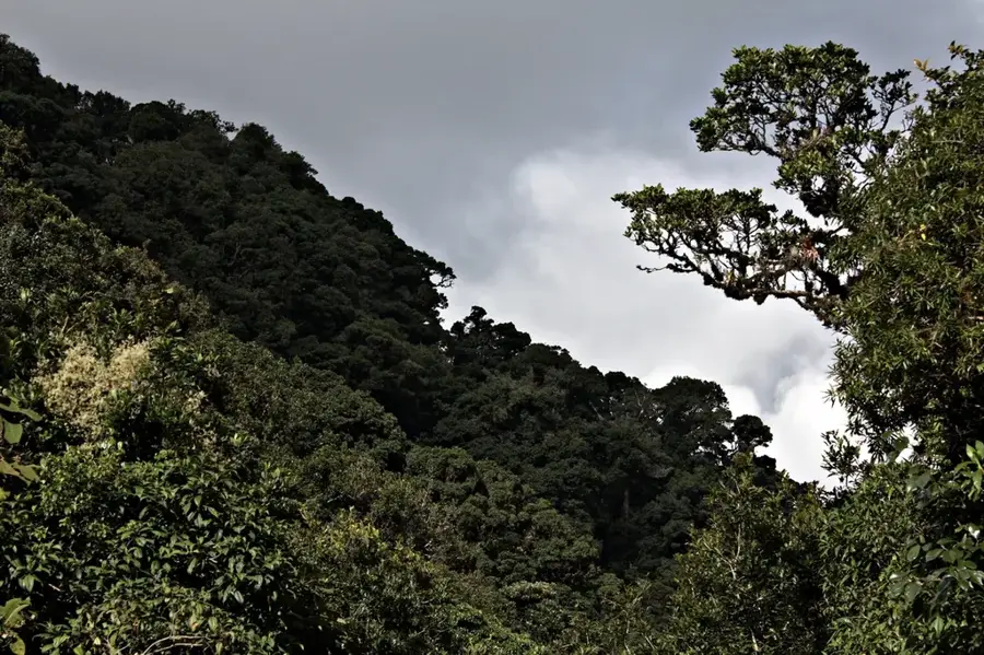
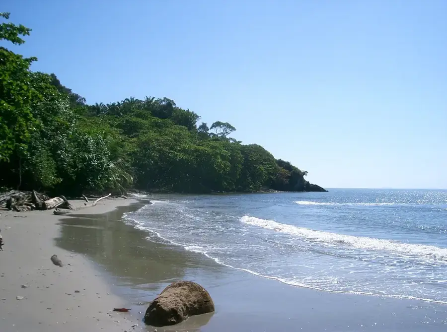
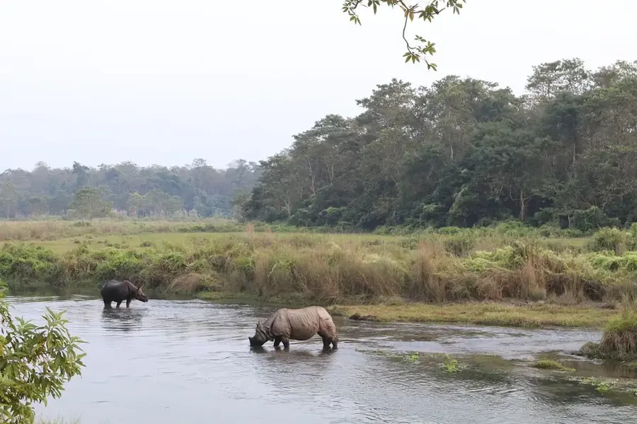
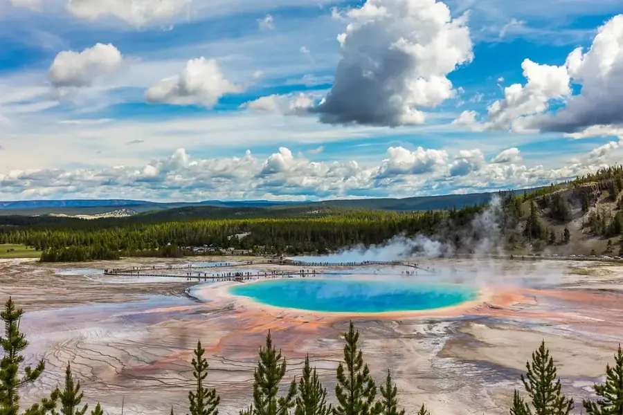
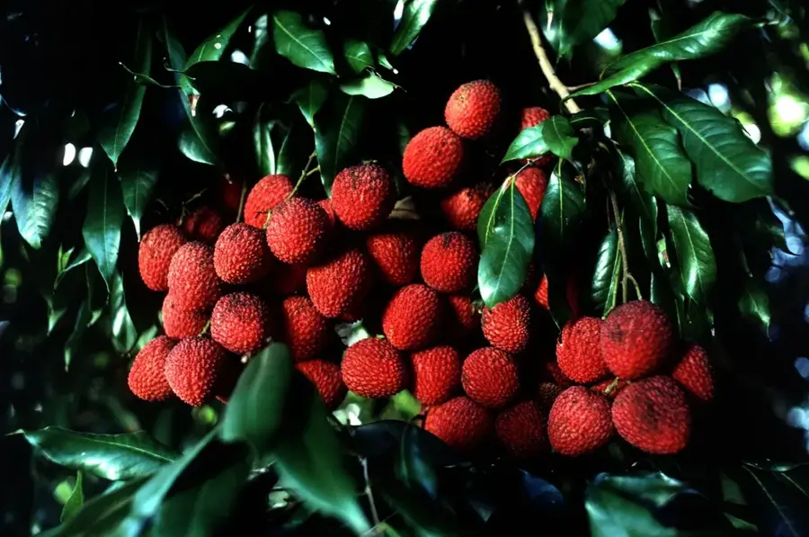
Nature
More places