Plizio Visual Lab
Yoro Mountains

Weather…
Water temperature…
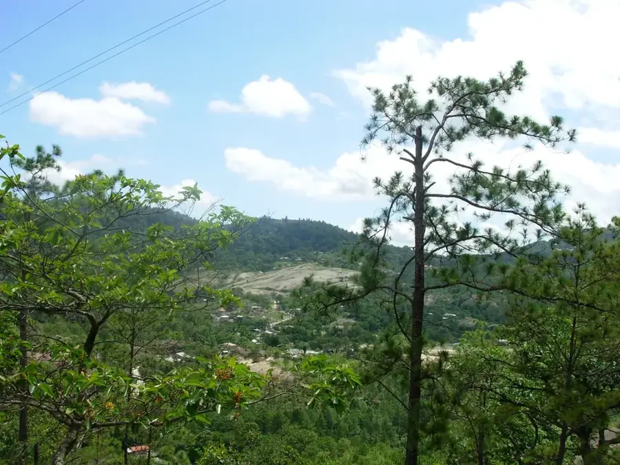
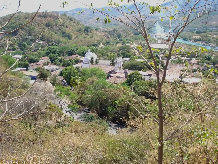
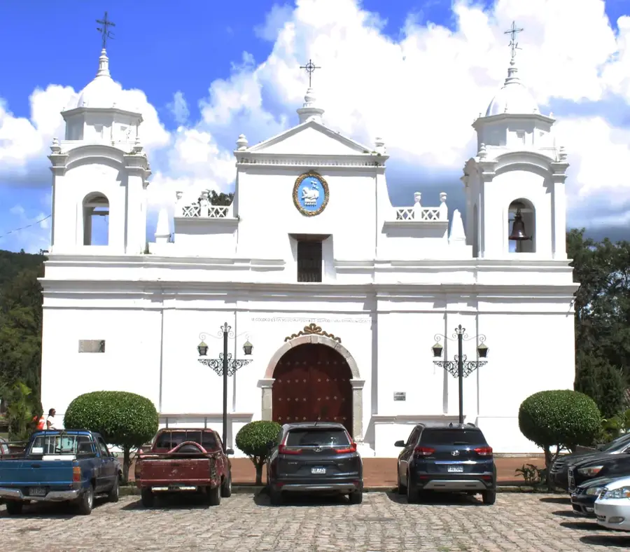
The Yoro Mountains (Montañas de Yoro) form the rugged backbone of the Yoro department in northern Honduras. This region consists of several mountain chains characterized by steep slopes and narrow, fertile valleys. The vegetation ranges from tropical broadleaf forests in the foothills to dense pine and cloud forests at the higher elevations. Yoro is critical for the national water supply, as its peaks capture moisture that feeds the Aguán and Sula river basins. The remote parts of these mountains are the traditional home of the Tolupán indigenous people. Economically, the region relies on coffee production and timber. History: Yoro is famous throughout Honduras for the legendary 'Lluvia de Peces' (Rain of Fish) phenomenon, which traditionally occurs in the plains near these mountains.
- Location: Honduras
- Nearby: Pespire (9 km)
Best time to visit & climate
The most pleasant time to visit is Feb–Apr.
| Jan | Feb | Mar | Apr | May | Jun | Jul | Aug | Sep | Oct | Nov | Dec | |
|---|---|---|---|---|---|---|---|---|---|---|---|---|
| Avg °C | 22 | 23 | 24 | 26 | 27 | 26 | 26 | 26 | 26 | 25 | 23 | 22 |
| Rain mm | 137 | 87 | 68 | 40 | 101 | 161 | 137 | 142 | 169 | 217 | 218 | 146 |
📋 Practical info
Geography
Facts
- Traditional home of the Tolupán indigenous group.
- Vital watershed for the Sula and Aguán river basins.
- Famous for the legendary 'Rain of Fish' phenomenon.
- Dominated by vast pine and high-altitude cloud forests.
- Major region for sustainable timber and coffee production.
- Highly rugged terrain with limited infrastructure access.
Explore nearby
Notable places around
Route planner — Car & Motorhome
Where do you start? We build the route here, with stops and country notes along the way.
© OpenStreetMap contributors · OpenRouteService
Sights nearby
Frequently asked questions
What is the Yoro region known for?
What is the landscape of the Yoro Mountains like?
Can you hike there?
What ethnic group lives there?
When is the best time to travel?
Yoro Mountains: where is it located?
Yoro Mountains: when is the best time to visit?
Yoro Mountains: why is it worth visiting?

Nearby cities


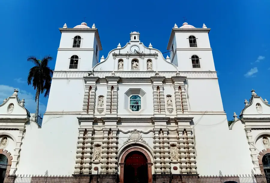
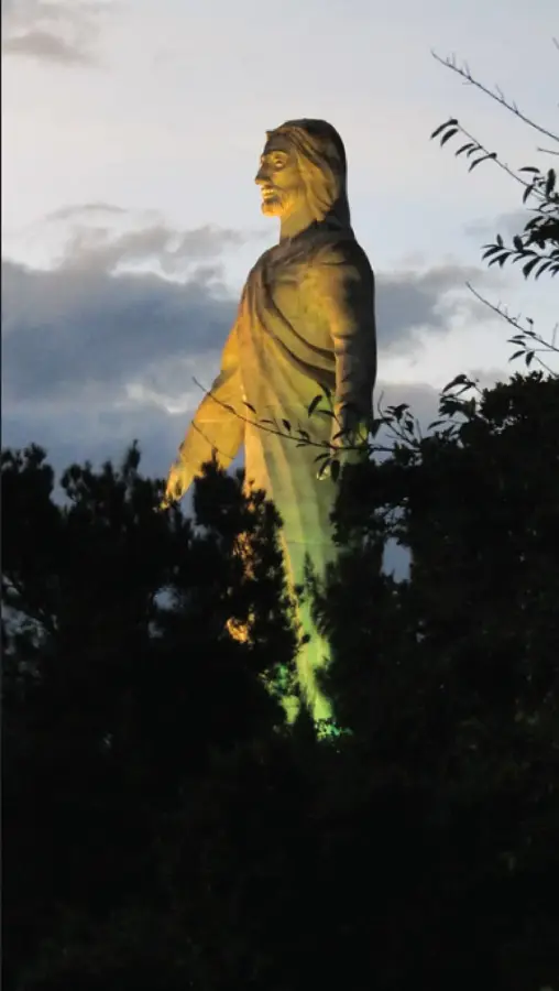
History & landmarks

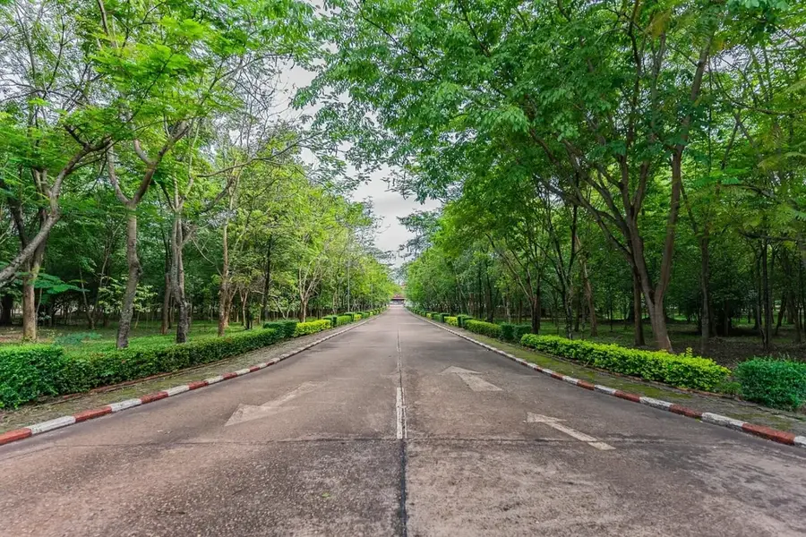
Nature
More places