Plizio Visual Lab
El Progreso
ℹ️Practical info — El Progreso
▾
🌤 Weather — 5 days
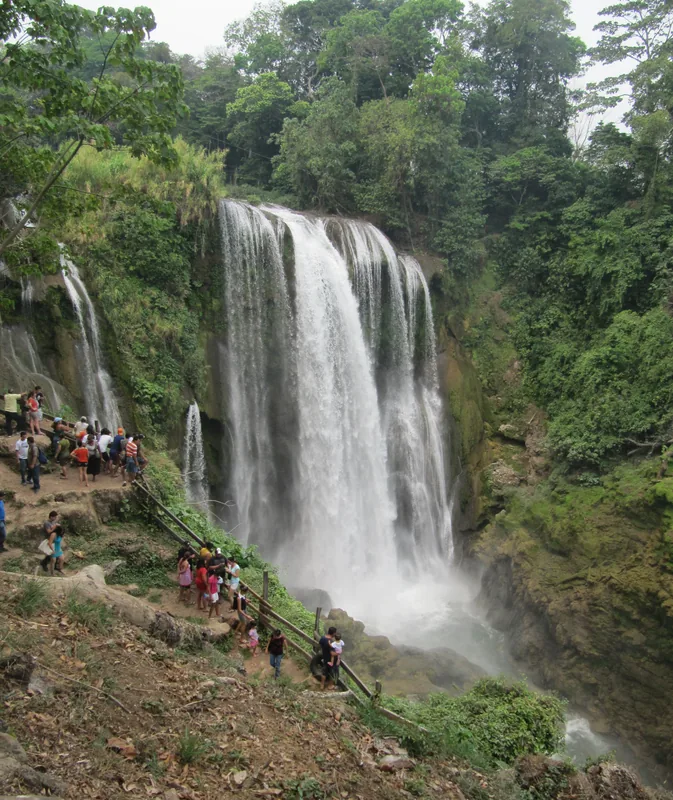
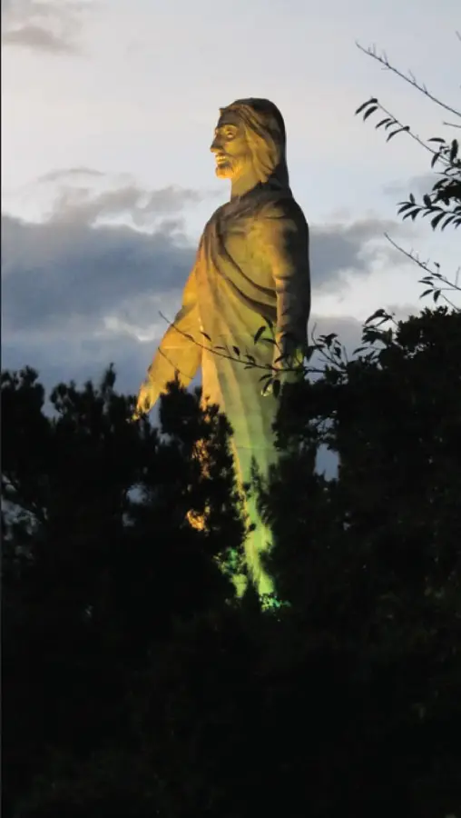
📍 Nearby
Sights nearby
💡 Tips
- It's a major transit hub; expect heavy traffic around the central market and bus areas.
- It's known as the 'Bicycle City', watch out for numerous cyclists on the roads.
- The climate is tropical and hot year-round.
- Use local mototaxis for short distances within the city center.
- The main plaza is an animated spot on weekends for local gatherings.
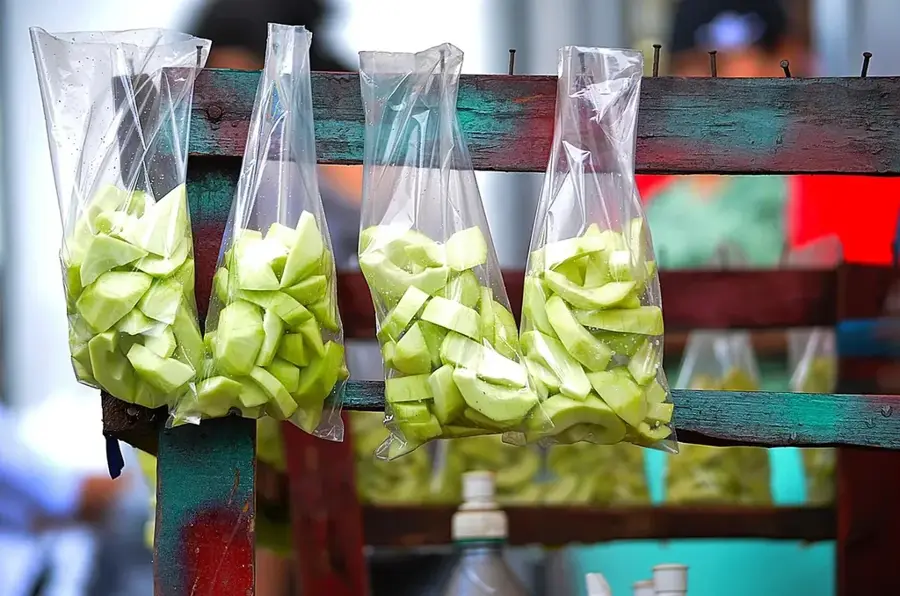
🍽 Food
A hearty traditional stew available in local family restaurants.
Fried cassava with pork rind, a staple at small eateries around the market.
Cool down with this refreshing local drink sold by street vendors.
🛍 Shopping · 🧘 Quiet spots
The central market is chaotic but excellent for fresh fruits and everyday items.
Check out panaderías in the center for sweet Honduran breads.
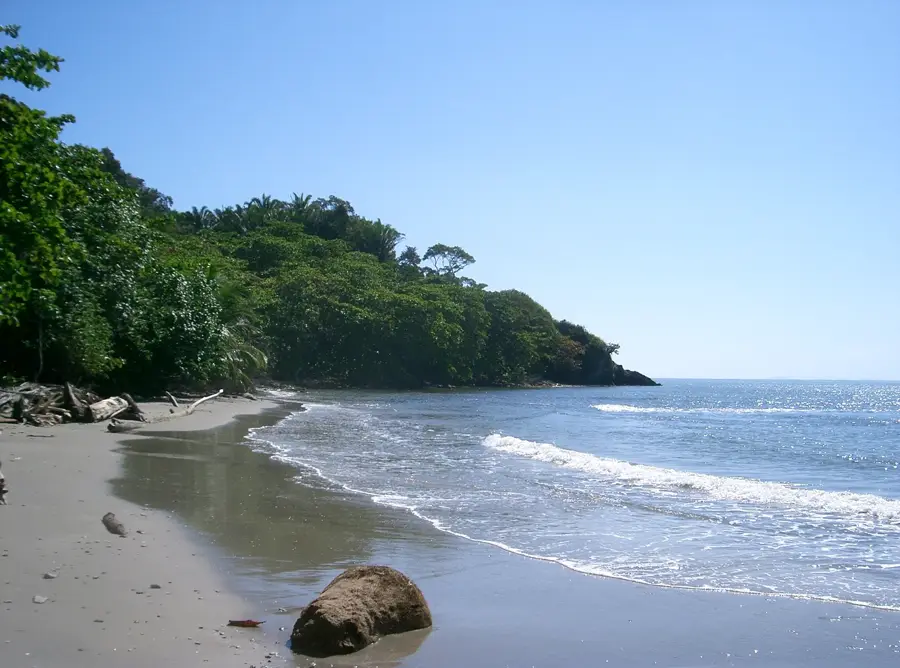
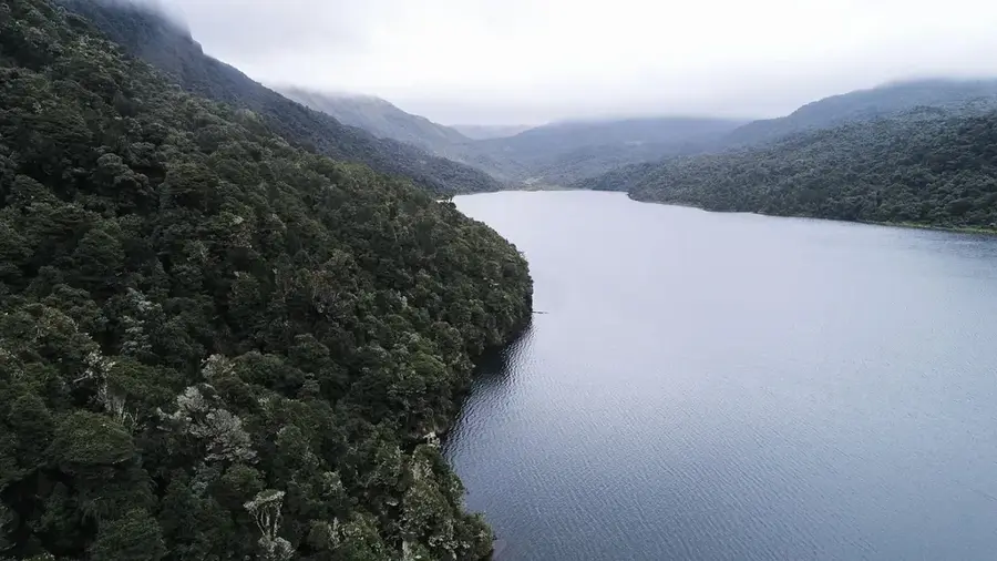
A natural reserve area nearby offering a peaceful escape into nature.
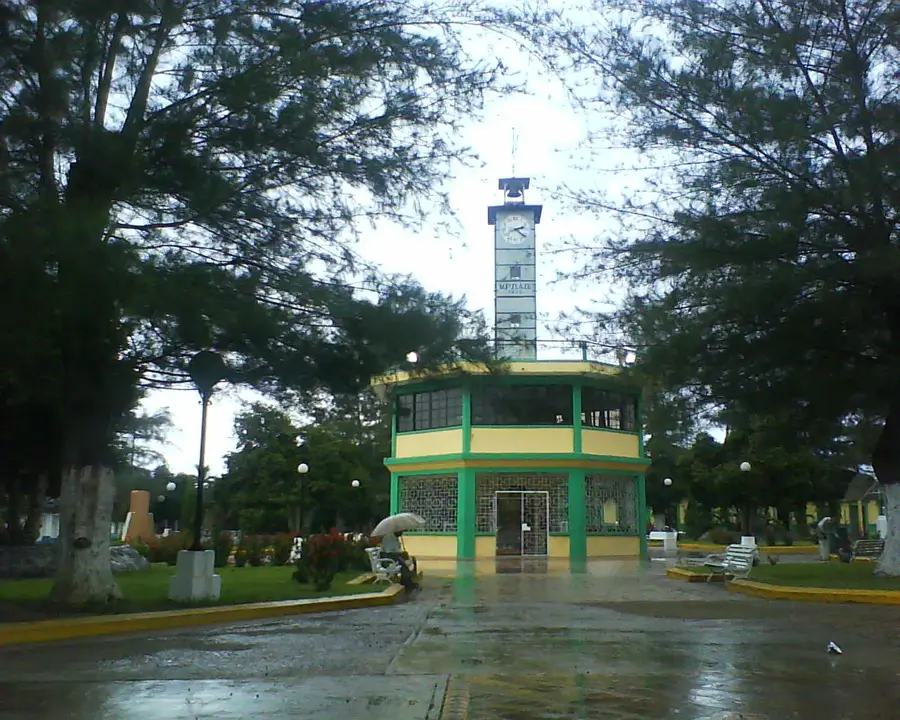
A pleasant, smaller park well-suited for a quick rest.
Water temperature…
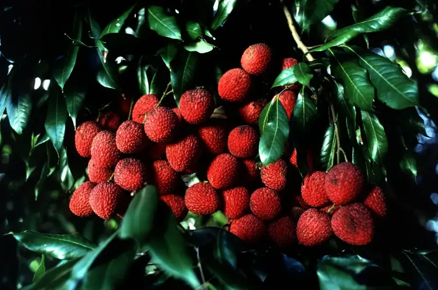
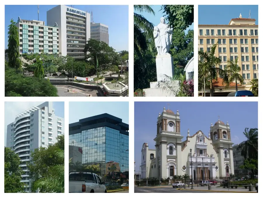
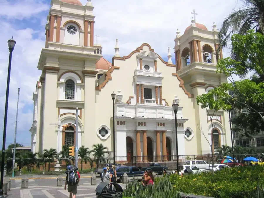
El Progreso is a strategically significant city in the Yoro Department of Honduras, often referred to as the 'Perla del Ulúa' (Pearl of the Ulúa) due to its location on the banks of the Ulúa River. The city serves as a vital link between the industrial hub of San Pedro Sula, the agricultural interior, and the Caribbean coast. Its growth was historically fueled by the expansion of banana plantations in the early 20th century, which brought rapid development and economic prosperity to the region. Geographically, El Progreso benefits from the fertile alluvial soils of the Sula Valley, making it a major center for the production of bananas, sugar cane, and palm oil. The city is also a crucial transportation node, situated at the intersection of several of the country's primary highways. Culturally, El Progreso is recognized for its active civil society and educational institutions, while the natural landscape is dominated by the Ulúa River, which remains essential for local fishing and irrigation.
- Location: Honduras
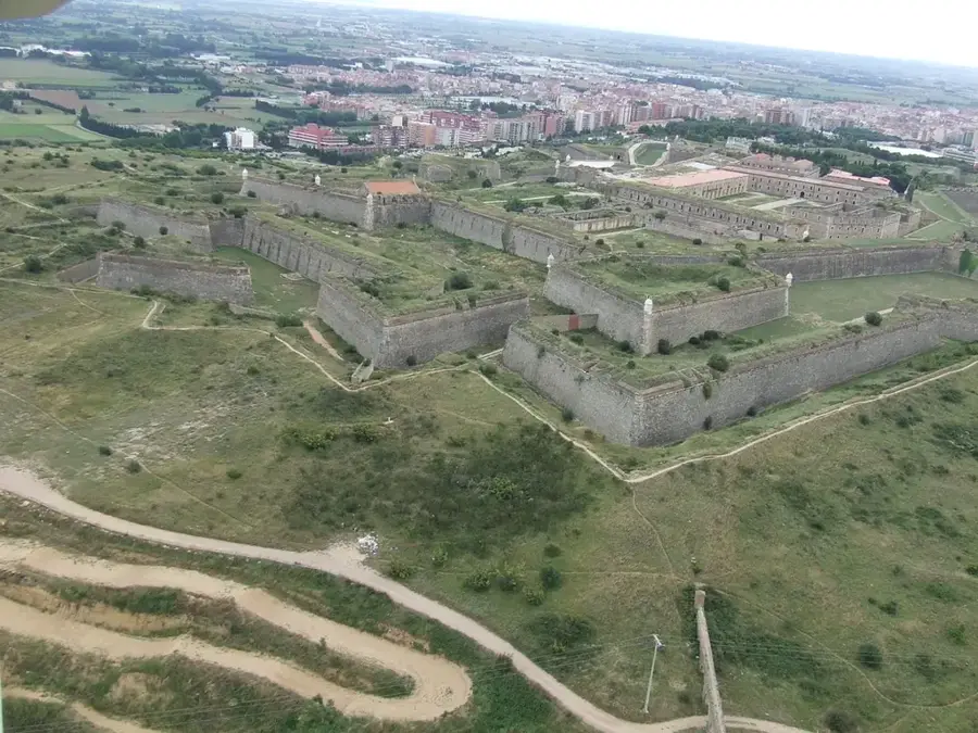
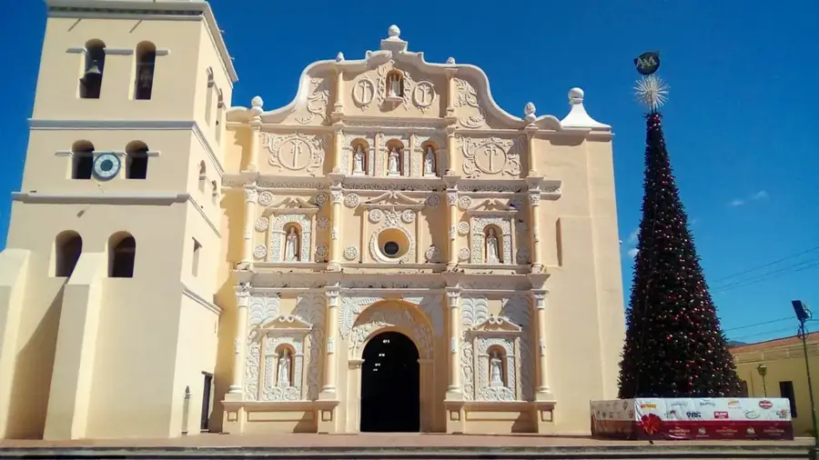
- Top sights: Radio Progreso & ERIC-SJ · Humberto Micheletti Stadium
- Nearby: Siguatepeque (5 km)
- Population: ~100.810 (2024)
Best time to visit & climate
The most pleasant time to visit is Jan–Mar.
| Jan | Feb | Mar | Apr | May | Jun | Jul | Aug | Sep | Oct | Nov | Dec | |
|---|---|---|---|---|---|---|---|---|---|---|---|---|
| Avg °C | 22 | 23 | 24 | 26 | 27 | 26 | 26 | 26 | 26 | 25 | 23 | 23 |
| Rain mm | 111 | 83 | 64 | 44 | 105 | 170 | 158 | 153 | 179 | 187 | 174 | 118 |
History & landmarks
1892
Geography
Facts
- El Progreso was officially established as a municipality on October 19, 1892.
- The city is located approximately 20 kilometers east of San Pedro Sula.
- The Ulúa River is the most voluminous river in Honduras.
- The annual city festival, Feria Progreseña, takes place in September.
- El Progreso is the third-largest city in Honduras by population.
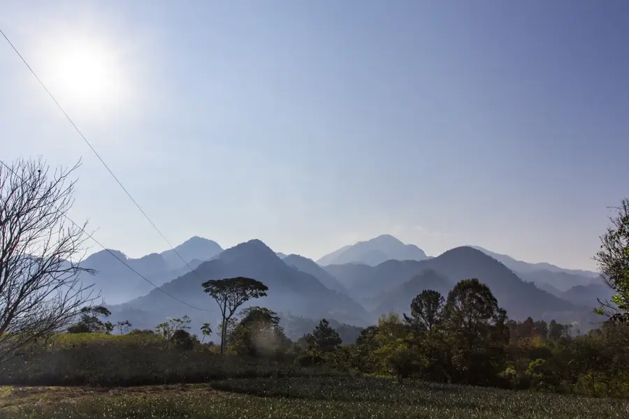
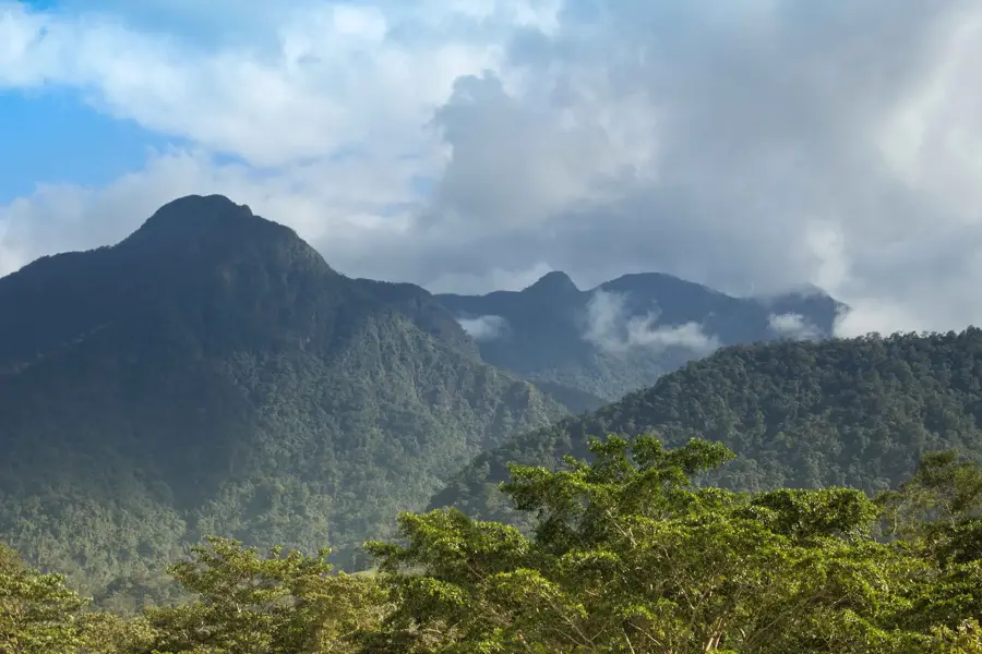
- The Mico Quemado mountains border the city to the east.
Explore nearby
Notable places around
Route planner — Car & Motorhome
Where do you start? We build the route here, with stops and country notes along the way.
© OpenStreetMap contributors · OpenRouteService
Sights in the town El Progreso (2)
Frequently asked questions
What can you do in El Progreso?
How is the connection to San Pedro Sula?
Are there nature attractions nearby?
Is the city safe for a walk?
What is the city's most important festival?
El Progreso: where is it located?
El Progreso: what is there to see?
El Progreso: when is the best time to visit?
El Progreso: why is it worth visiting?

Nearby cities


History & landmarks


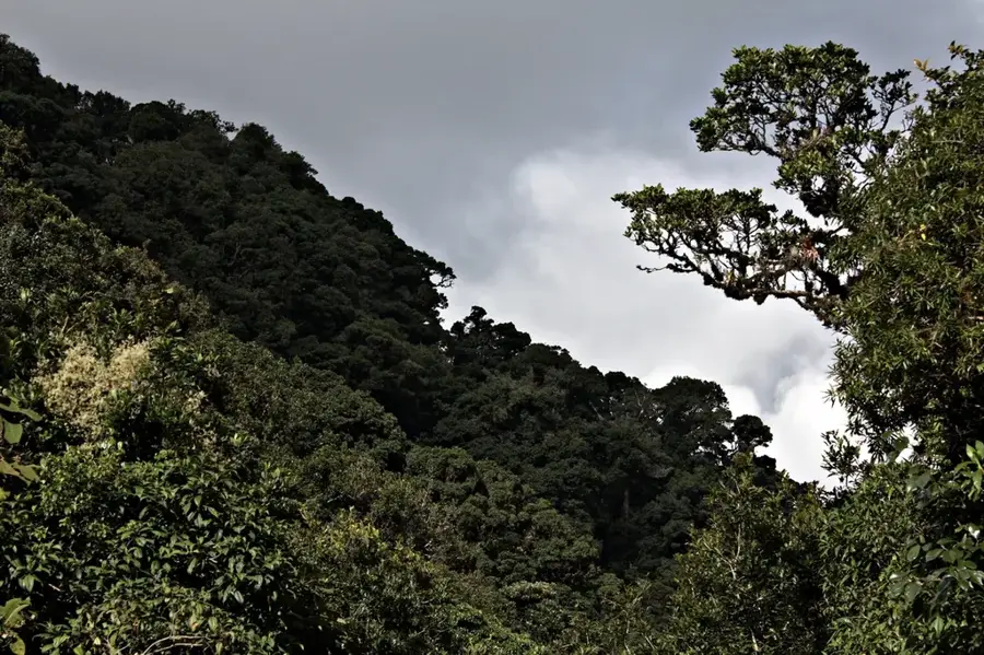
Nature
More places