Plizio Visual Lab
Sierra de Sulaco

Weather…
Water temperature…
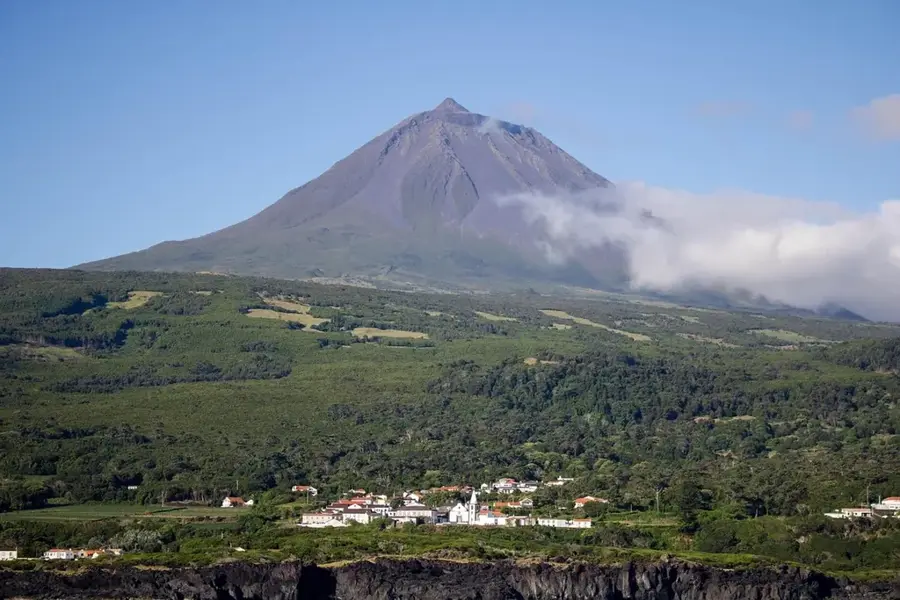
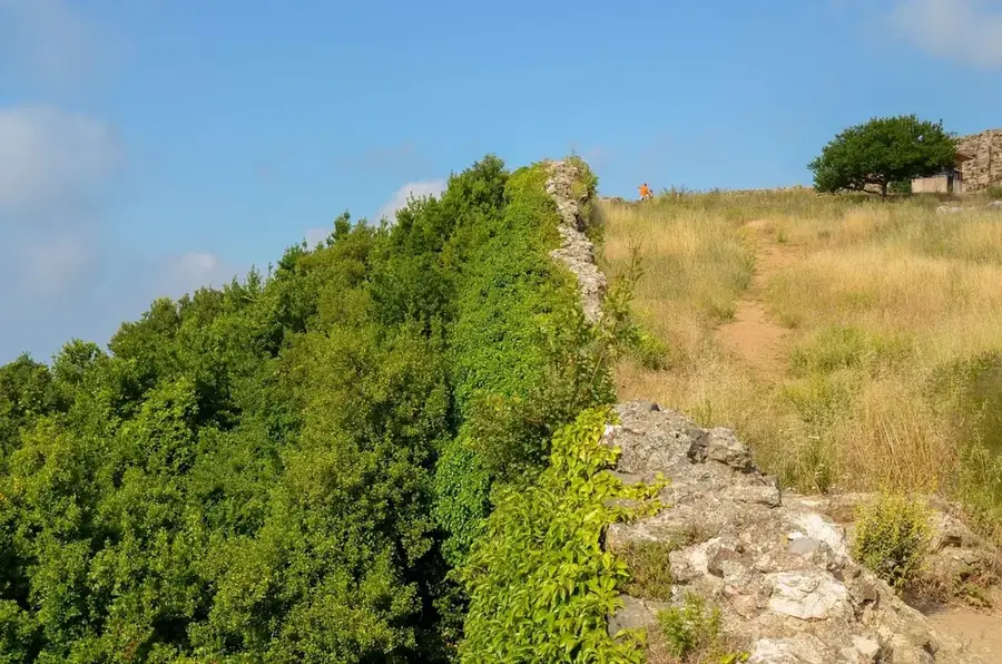
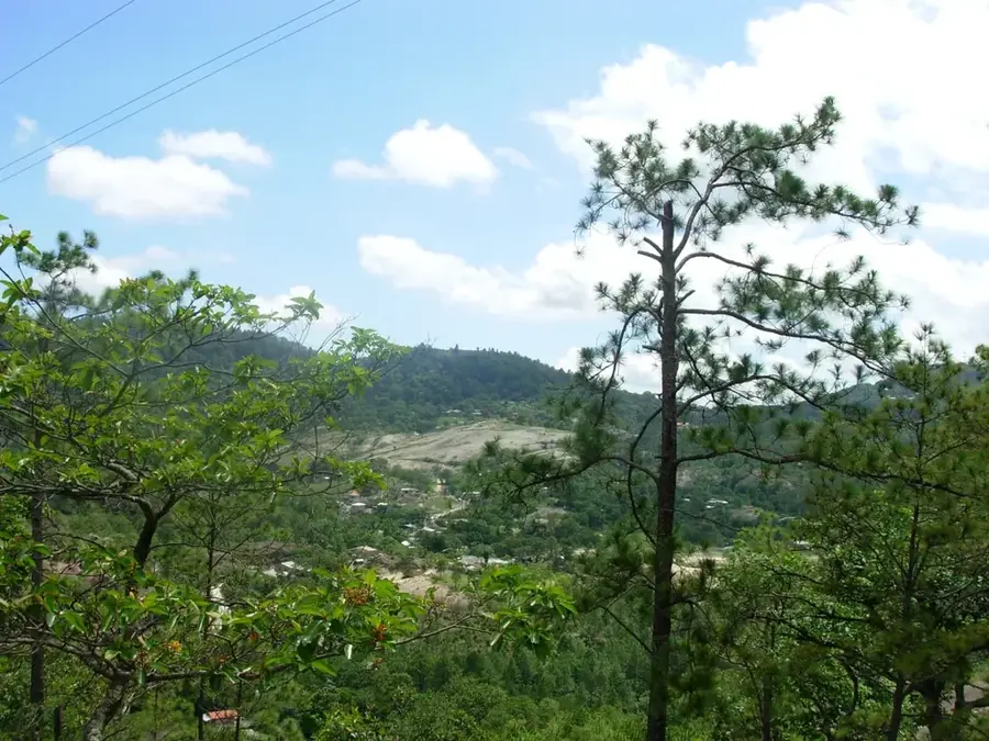
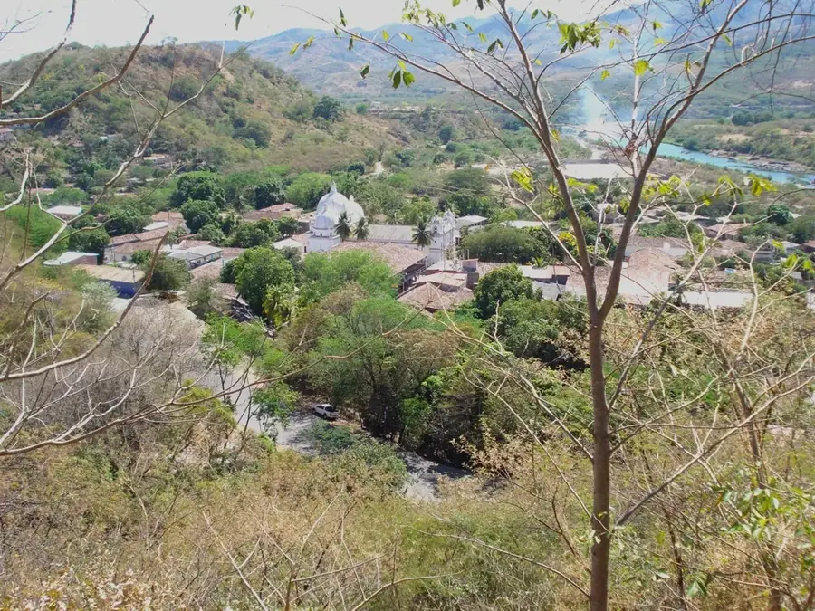
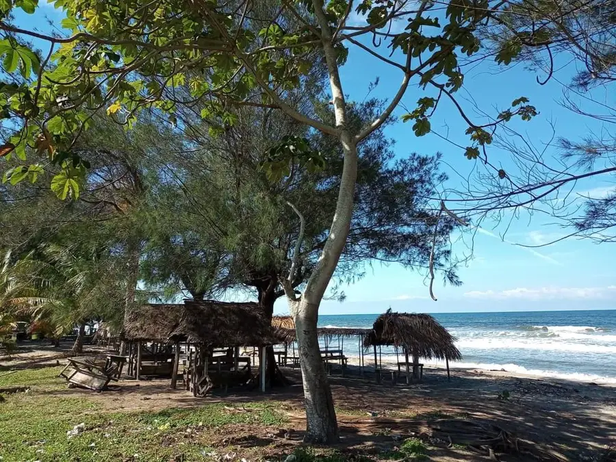
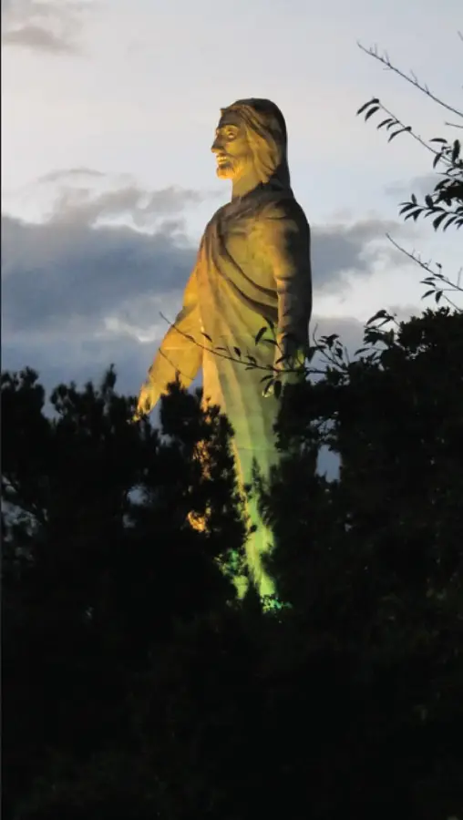
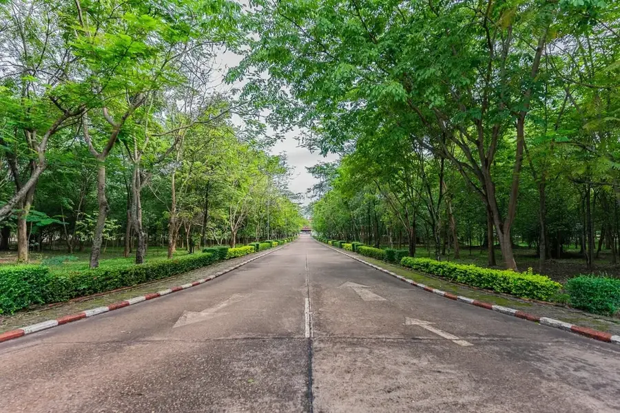
The Sierra de Sulaco is a major mountain massif in central Honduras, spanning the departments of Yoro, Comayagua, and Francisco Morazán. Part of the rugged central highlands, these mountains rise to elevations over 2,000 meters. The region is famous for its pristine cloud forests and its role as a critical water tower for central Honduras, feeding multiple river systems. Geographically, the sierra is highly fractured, featuring steep-walled canyons and numerous hidden waterfalls. It supports a wealth of wildlife, including pumas and many endemic butterfly species. Isolated farming communities are scattered throughout the lower slopes, preserving a traditional highland lifestyle. History: The name 'Sulaco' comes from an indigenous language meaning 'Place of Quetzals,' reflecting the historical abundance of this sacred bird in its misty peaks.
- Location: Honduras
- Nearby: Pespire (7 km)
Best time to visit & climate
The most pleasant time to visit is Jan–Mar.
| Jan | Feb | Mar | Apr | May | Jun | Jul | Aug | Sep | Oct | Nov | Dec | |
|---|---|---|---|---|---|---|---|---|---|---|---|---|
| Avg °C | 20 | 22 | 23 | 25 | 25 | 24 | 24 | 24 | 24 | 23 | 21 | 20 |
| Rain mm | 71 | 48 | 41 | 37 | 109 | 159 | 121 | 130 | 167 | 167 | 125 | 85 |
📋 Practical info
Geography
Facts
- Elevations frequently exceed 2,000 meters.
- The name translates to 'Place of the Quetzals.'
- Serves as a vital 'water tower' for central regions.
- Remains one of the most isolated ranges in Honduras.
- Features pristine, high-altitude cloud forest habitats.
- Spans across the Yoro, Comayagua, and Francisco Morazán departments.
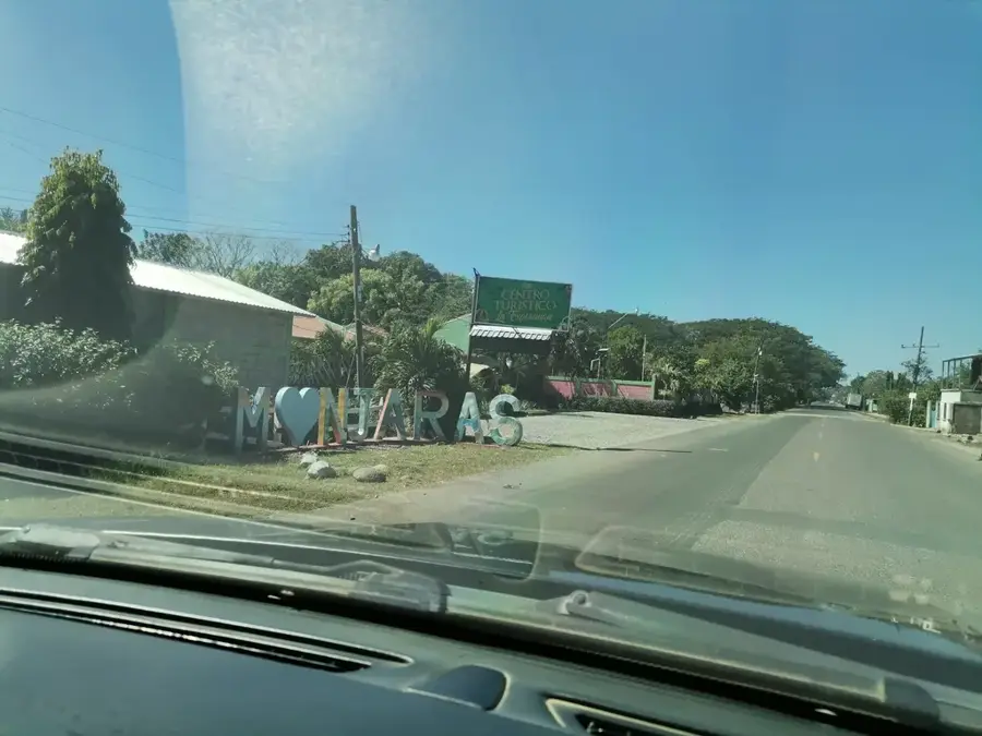
Explore nearby
Notable places around
Route planner — Car & Motorhome
Where do you start? We build the route here, with stops and country notes along the way.
© OpenStreetMap contributors · OpenRouteService
Sights nearby
Frequently asked questions
Where is the Sierra de Sulaco located?
What is special about the nature here?
Can you camp in the Sierra de Sulaco?
What animals can be observed here?
Are the roads in the Sierra de Sulaco passable?
Sierra de Sulaco: where is it located?
Sierra de Sulaco: when is the best time to visit?
Sierra de Sulaco: why is it worth visiting?

Nearby cities
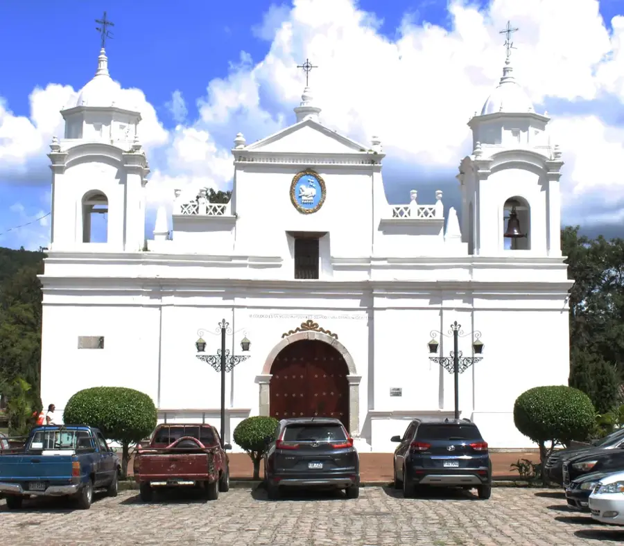


History & landmarks

Nature
More places