Plizio Visual Lab
Cerro Miramundo

Weather…
Water temperature…
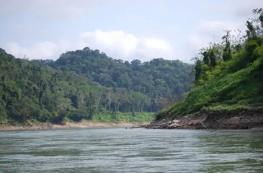
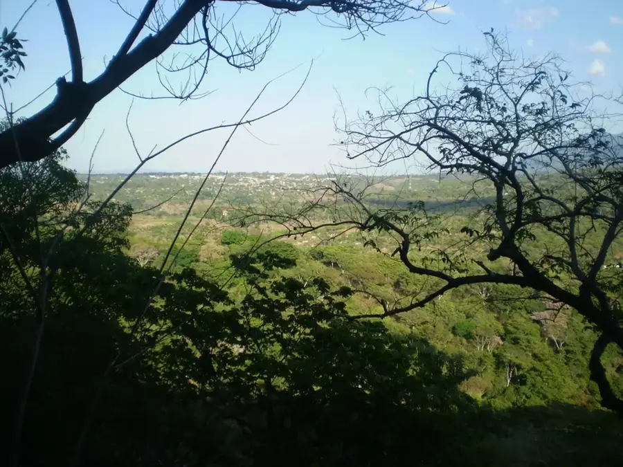
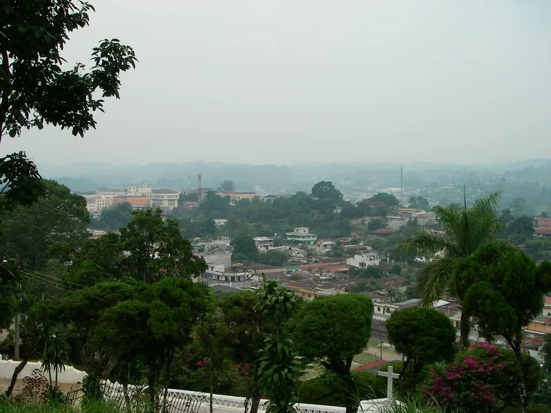
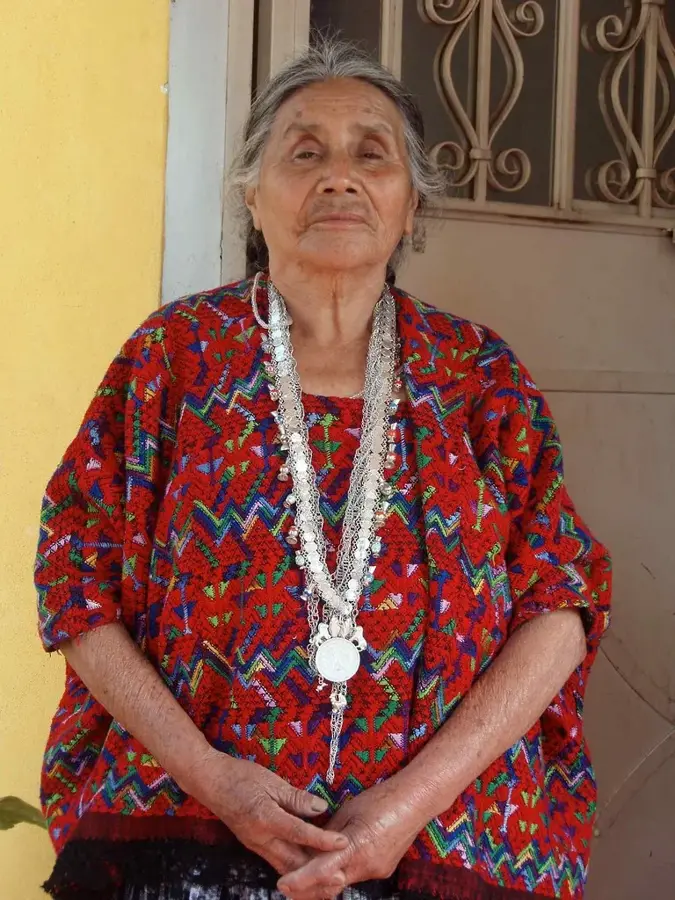
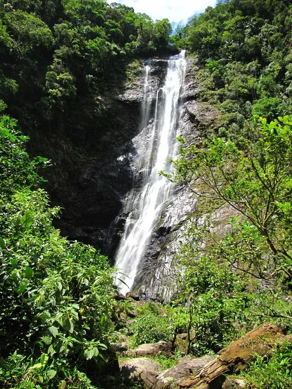
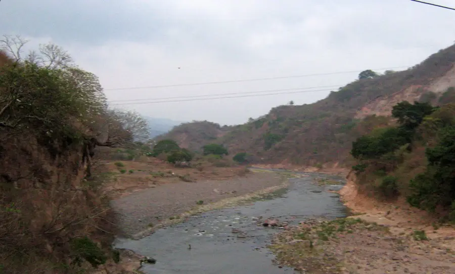
Cerro Miramundo is a prominent mountain peak located in the Jalapa department of eastern Guatemala, reaching an elevation of approximately 2,662 meters above sea level. It forms part of a vital ecological corridor characterized by dense cloud forests and exceptional biological diversity. The mountain plays a crucial role in the regional water cycle, as its forested slopes host numerous springs that supply fresh water to the surrounding valleys and local communities. The high-altitude environment features a cool and humid climate, providing handy conditions for the growth of oaks, pines, and a vast array of epiphytes like orchids and bromeliads. Historically, the region was inhabited by the Poqomam Maya people, whose cultural influence remains integrated into the local identity. Cerro Miramundo is also a significant habitat for the resplendent quetzal and other rare avian species. Today, it is a destination for eco-tourists and hikers seeking to experience untouched wilderness and expansive views of the Guatemalan highlands.
- Location: Guatemala
- Nearby: Zapotitlán (15 km)
Best time to visit & climate
The most pleasant time to visit is Jan–Mar.
| Jan | Feb | Mar | Apr | May | Jun | Jul | Aug | Sep | Oct | Nov | Dec | |
|---|---|---|---|---|---|---|---|---|---|---|---|---|
| Avg °C | 18 | 20 | 22 | 24 | 24 | 22 | 21 | 22 | 21 | 21 | 19 | 18 |
| Rain mm | 34 | 26 | 25 | 39 | 140 | 204 | 165 | 205 | 233 | 165 | 69 | 38 |
📋 Practical info
Geography
Facts
- The maximum elevation of Cerro Miramundo is approximately 2,662 meters.
- The area serves as the primary water catchment for the Jalapa department.
- Over 150 different bird species have been documented within its forests.
- The region contains primary forests with oak stands older than 100 years.
- The climate is consistently cool, with average temperatures between 12 and 18°C.
- The mountain is located within the volcanic arc of Central America.
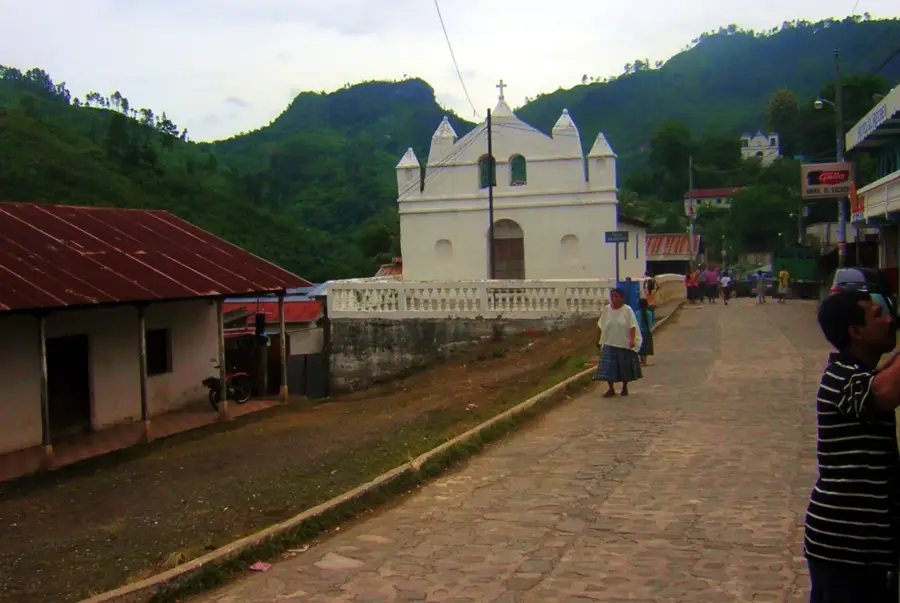
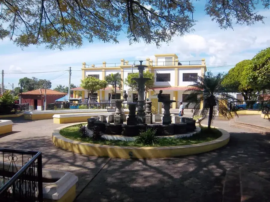
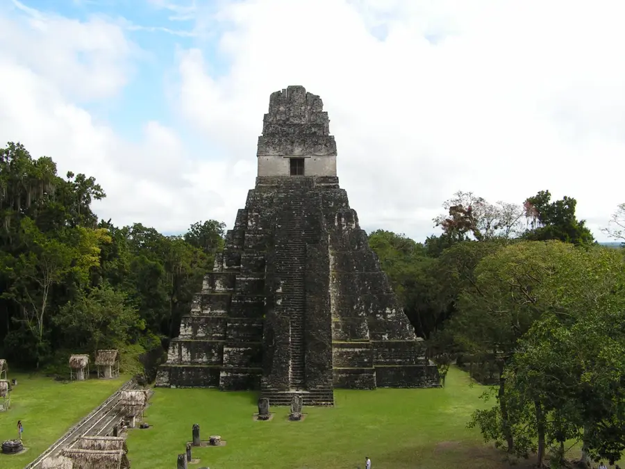
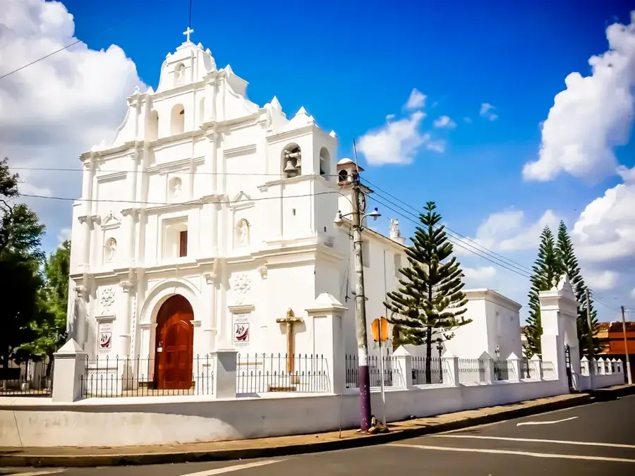
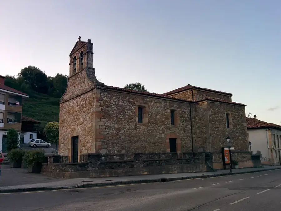
Explore nearby
Notable places around
Route planner — Car & Motorhome
Where do you start? We build the route here, with stops and country notes along the way.
© OpenStreetMap contributors · OpenRouteService
Sights nearby
Frequently asked questions
How do you get to Cerro Miramundo?
Is it cool there?
Are there hiking trails there?
Do you need a guide?
Can you camp there?
Cerro Miramundo: where is it located?
Cerro Miramundo: when is the best time to visit?
Cerro Miramundo: why is it worth visiting?

Nearby cities
History & landmarks
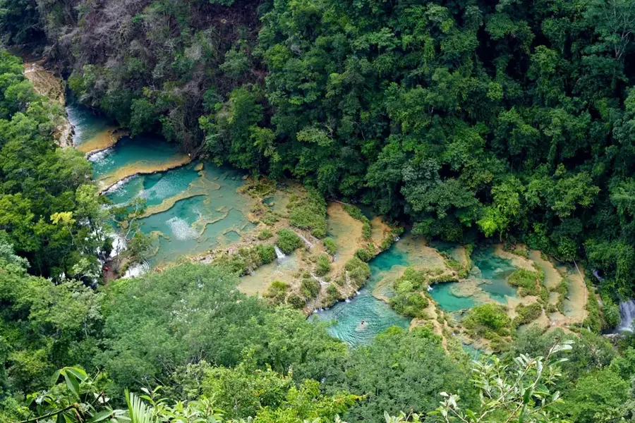
Nature
More places