Plizio Visual Lab
Lowland Rainforest
Weather…
Water temperature…
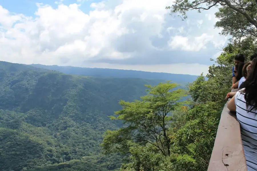
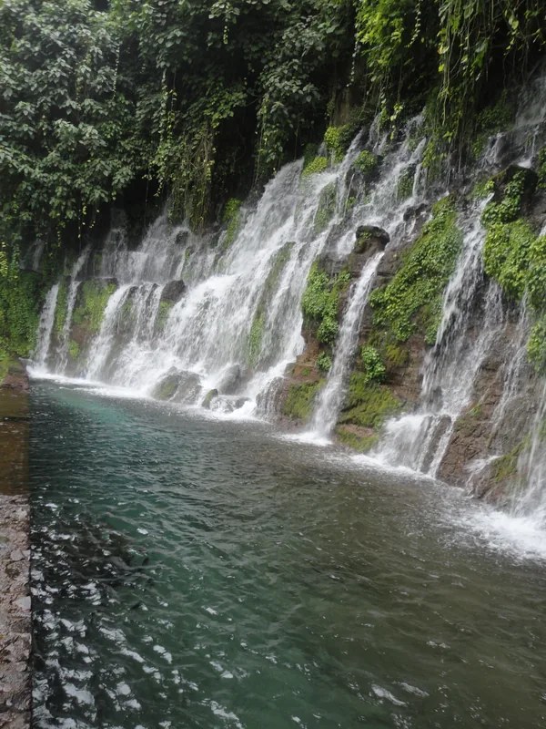
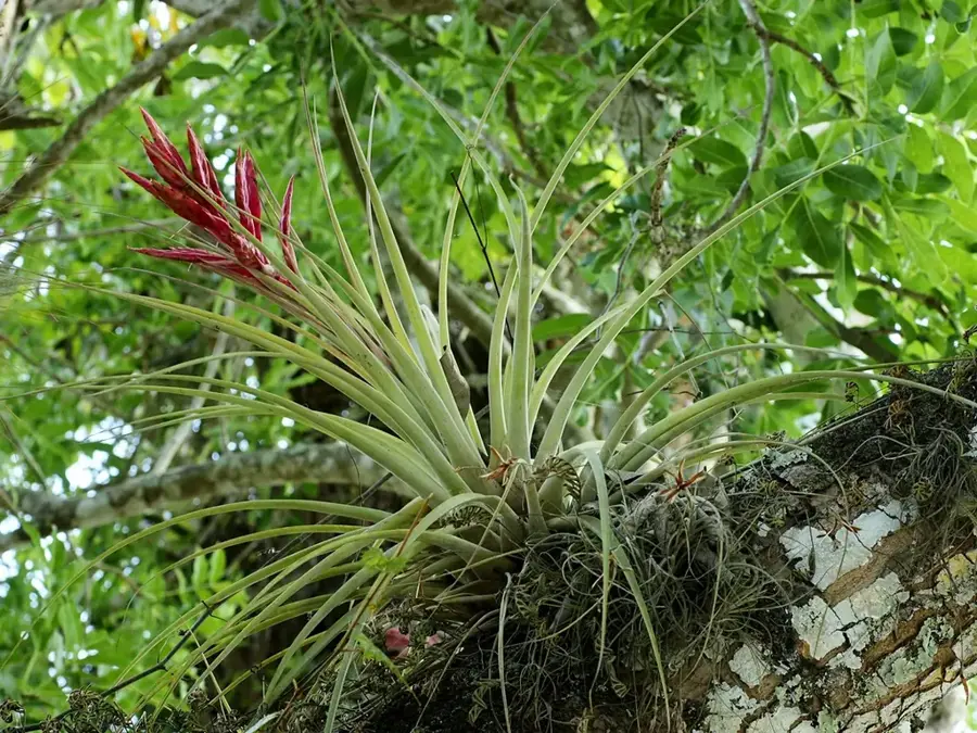
El Imposible National Park is El Salvador's most vital natural sanctuary, preserving one of the last remaining tropical lowland rainforests in Central America. Located in the Ahuachapán Department within the Sierra de Apaneca-Ilamatepec range, the park spans approximately 38 square kilometers. The name 'El Imposible' (The Impossible) refers to a historically treacherous mountain pass that coffee farmers once struggled to navigate with mules on their way to the Pacific coast. Geographically, the terrain is characterized by extremely steep slopes, deep canyons, and numerous waterfalls fed by the region's crystal-clear rivers. The biodiversity is extraordinary, with documented records of over 500 plant species, 100 mammal species, and nearly 300 species of birds. The park serves as a critical refuge for endangered predators such as the puma and ocelot, as well as the rare black-crested guan. Beyond its ecological value, the park acts as a key watershed for the agricultural plains in southern Ahuachapán. Visitors can explore the dense primary forest via well-maintained trails that lead to spectacular vantage points like the Peñón de los Gatos rock formation.
- Location: El Salvador
- Nearby: Barra de Santiago (6 km)
Best time to visit & climate
The most pleasant time to visit is Jan, Feb, Dec.
| Jan | Feb | Mar | Apr | May | Jun | Jul | Aug | Sep | Oct | Nov | Dec | |
|---|---|---|---|---|---|---|---|---|---|---|---|---|
| Avg °C | 23 | 25 | 26 | 27 | 26 | 25 | 25 | 25 | 24 | 24 | 23 | 23 |
| Rain mm | 6 | 8 | 8 | 34 | 159 | 207 | 178 | 218 | 227 | 171 | 45 | 11 |
📋 Practical info
Geography
Facts
- The national park was officially established in 1989.
- It covers an area of approximately 3,800 hectares.
- Eight major rivers originate within the park's boundaries.
- Over 500 species of trees and plants have been identified.
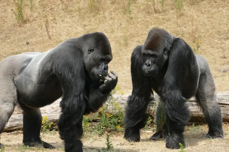
- The park is a sanctuary for the endangered puma and ocelot.
- Elevations in the park range from 300 to 1,450 meters.
Explore nearby
Notable places around
Route planner — Car & Motorhome
Where do you start? We build the route here, with stops and country notes along the way.
© OpenStreetMap contributors · OpenRouteService
Sights nearby
Frequently asked questions
How do I protect myself from insects?
Is a guide mandatory in the rainforest?
When is the best time for wildlife spotting?
What is the best time of year to visit?
Is there food in the forest?
Lowland Rainforest: where is it located?
Lowland Rainforest: when is the best time to visit?
Lowland Rainforest: why is it worth visiting?

Nearby cities


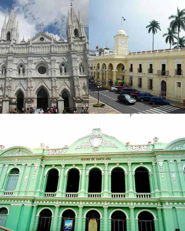
History & landmarks


Nature


More places